Dean Bottoms
Valley in Yorkshire Craven
England
Dean Bottoms

Dean Bottoms is a small village nestled in the valley of Yorkshire, England. Located in the southern part of the county, it is a picturesque and charming village that offers a peaceful and idyllic setting for its residents and visitors.
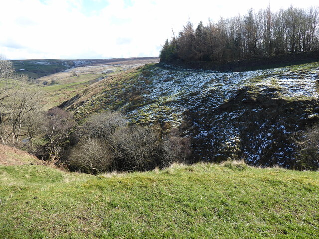
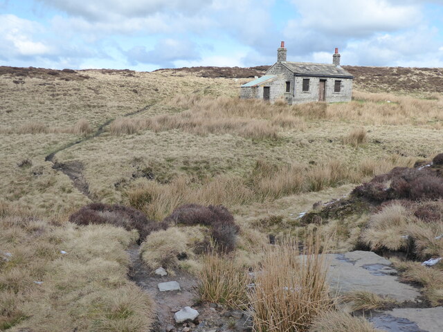
Surrounded by rolling hills and lush green fields, Dean Bottoms provides a stunning natural backdrop. The village is characterized by its traditional stone cottages and quaint architecture, which adds to its charm and appeal. The local community takes great pride in maintaining the village's traditional character and preserving its historical heritage.
Despite its small size, Dean Bottoms offers a range of amenities and facilities for its residents. The village has a local pub, a small convenience store, and a primary school, catering to the needs of the local population. It also boasts a community center that hosts various events and activities throughout the year, fostering a sense of community spirit among its residents.
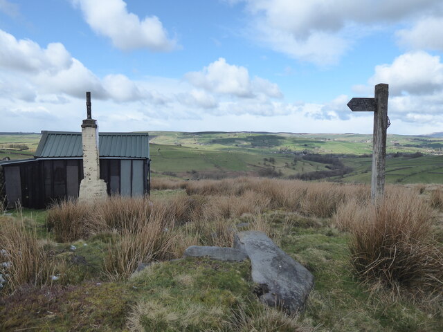
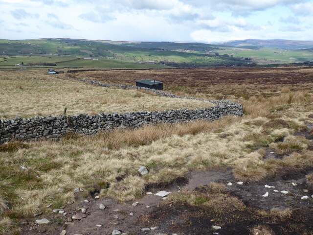
For outdoor enthusiasts, Dean Bottoms is a paradise. The surrounding countryside offers ample opportunities for hiking, cycling, and exploring nature. The village is also a short distance from the Yorkshire Dales National Park, a renowned area of natural beauty and a haven for outdoor activities.
Dean Bottoms is well-connected to nearby towns and cities, making it an attractive place to live for those seeking a balance between a tranquil rural lifestyle and access to urban amenities. Its proximity to major transport links ensures easy access to larger towns for shopping, entertainment, and employment opportunities.
Overall, Dean Bottoms is a delightful village that encapsulates the essence of rural Yorkshire living. Its natural beauty, community spirit, and convenient location make it a sought-after place to call home.
If you have any feedback on the listing, please let us know in the comments section below.
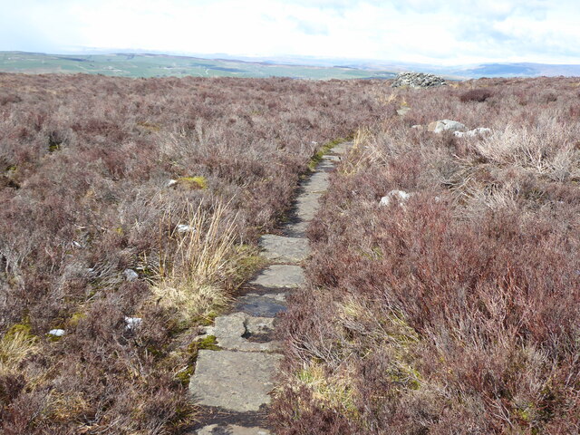
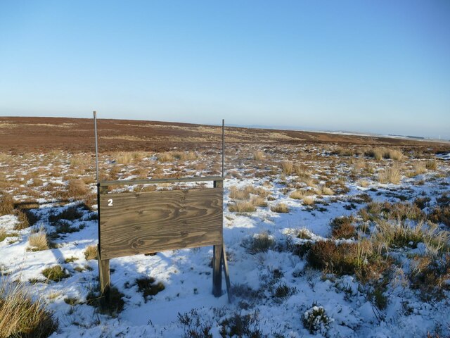
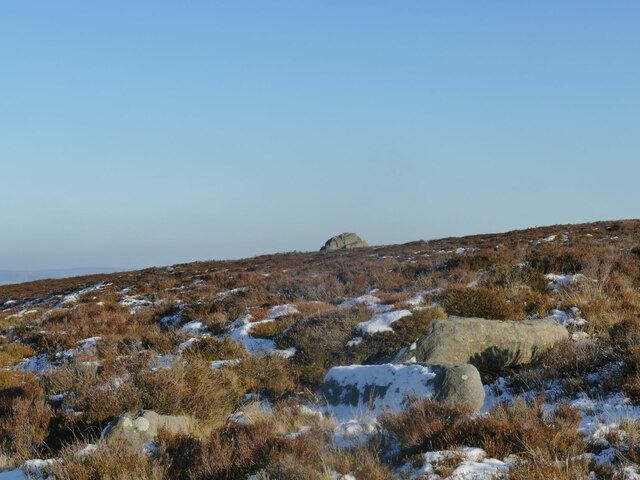
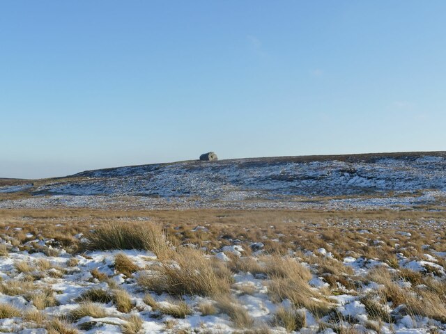
Dean Bottoms Images
Images are sourced within 2km of 53.874114/-2.0428081 or Grid Reference SD9741. Thanks to Geograph Open Source API. All images are credited.


Dean Bottoms is located at Grid Ref: SD9741 (Lat: 53.874114, Lng: -2.0428081)
Division: West Riding
Administrative County: North Yorkshire
District: Craven
Police Authority: North Yorkshire
What 3 Words
///lyricism.cardinal.charge. Near Glusburn, North Yorkshire
Nearby Locations
Related Wikis
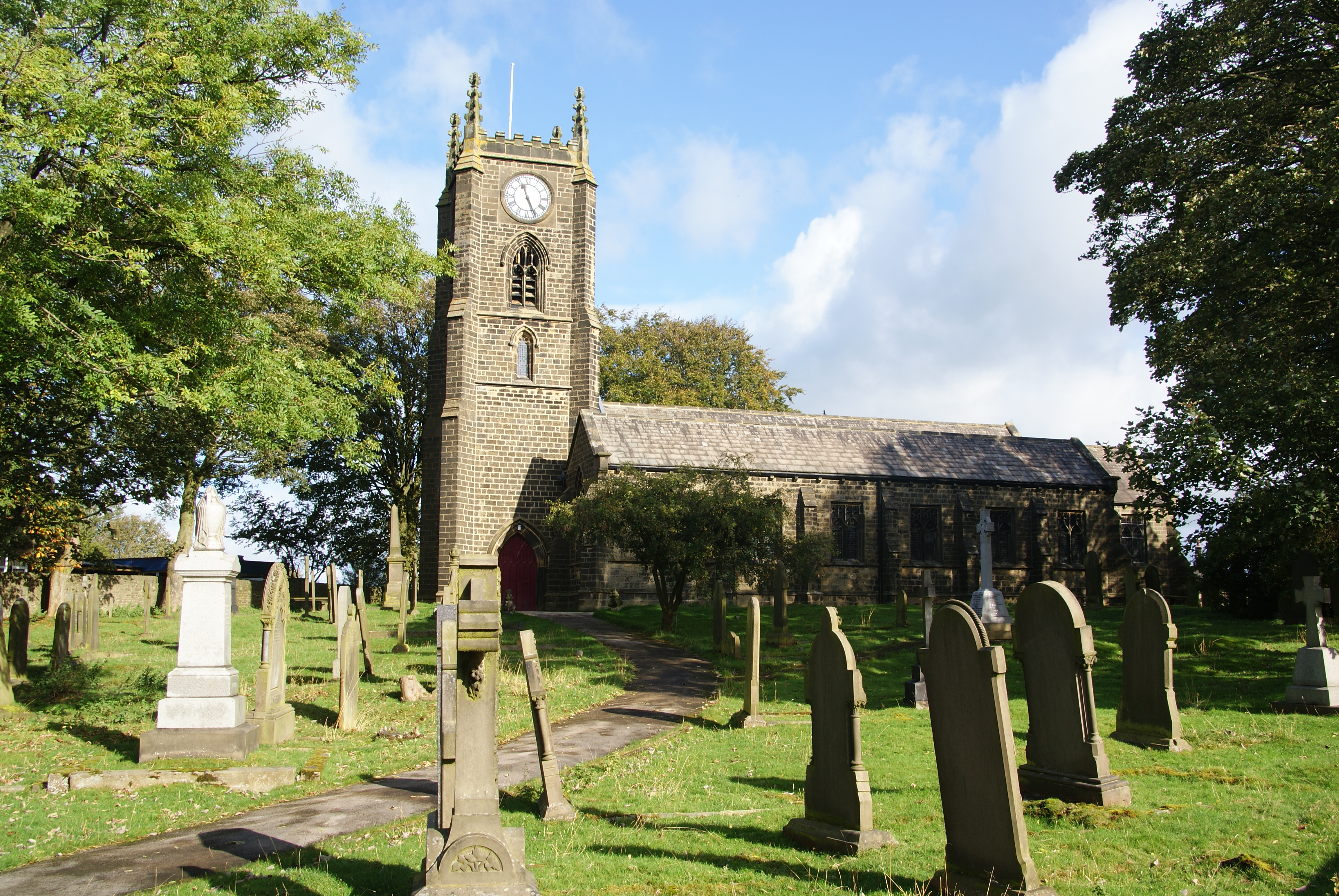
Cowling, Craven
Cowling is a village, electoral division and civil parish in the Craven district of North Yorkshire, England. It is situated on the borders with the adjacent...

Middleton, Cowling
Middleton is a hamlet in the Craven district of North Yorkshire, England, part of the civil parish of Cowling. It is near the border with West Yorkshire...

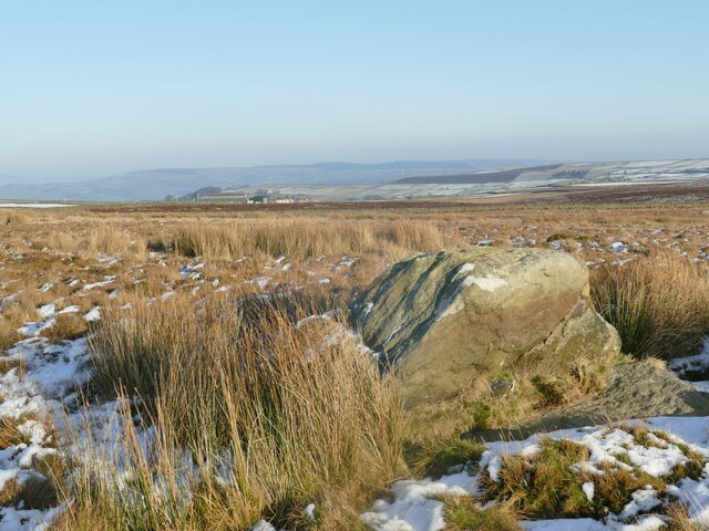
The Hitching Stone
The Hitching Stone is a gritstone erratic block on Keighley Moor, North Yorkshire, near Earl Crag and the village of Cowling. It is very close to the...

Wainman's Pinnacle
Wainman's Pinnacle, originally built as a folly (and still used as a folly), is a stone obelisk in Sutton-in-Craven, North Yorkshire. It tends to be referred...
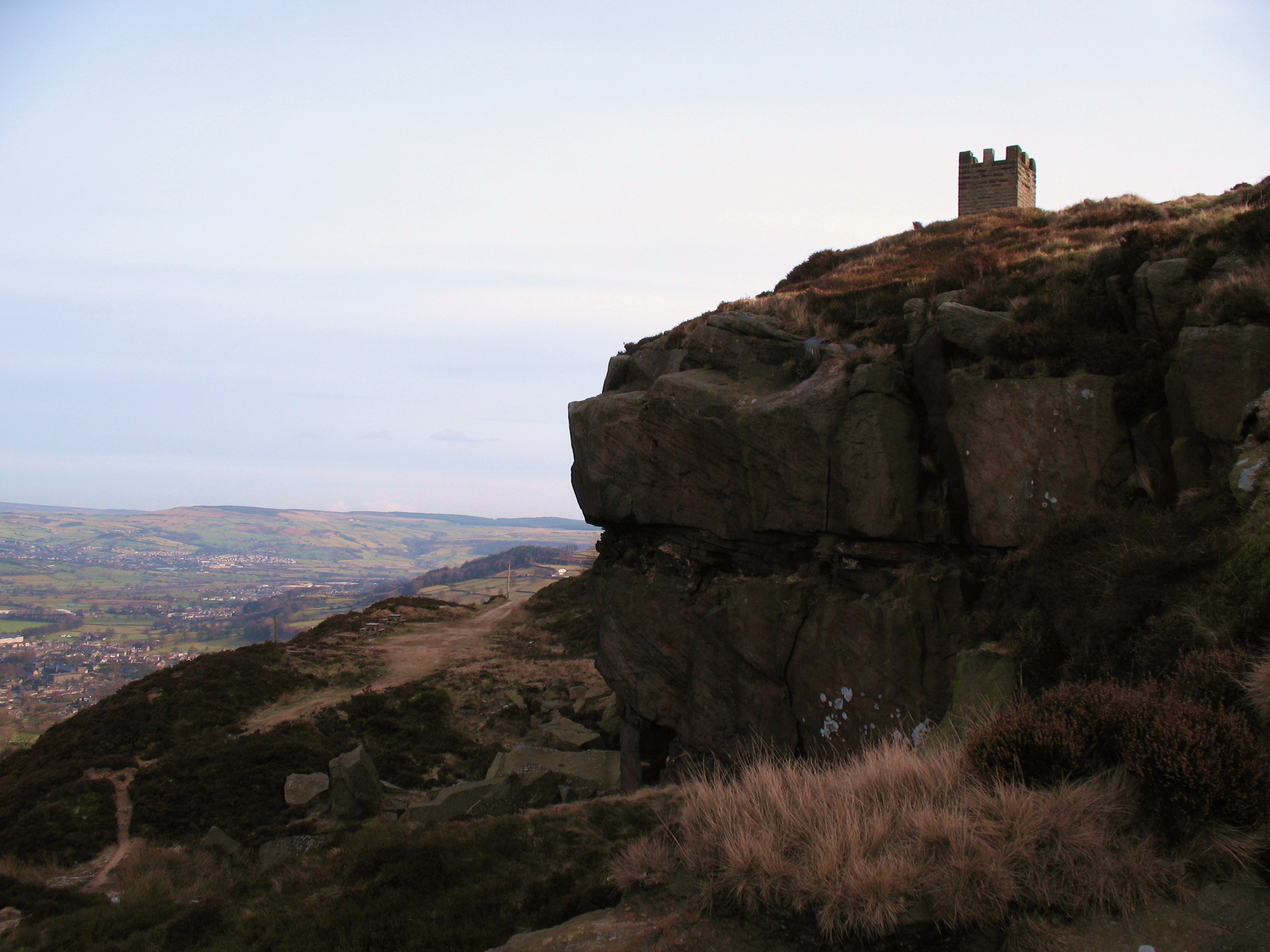
Earl Crag
Earl Crag is a gritstone crag and climbing area in Craven, North Yorkshire, England. It is home to Lund's Tower, Wainman's Pinnacle, and The Hitching...
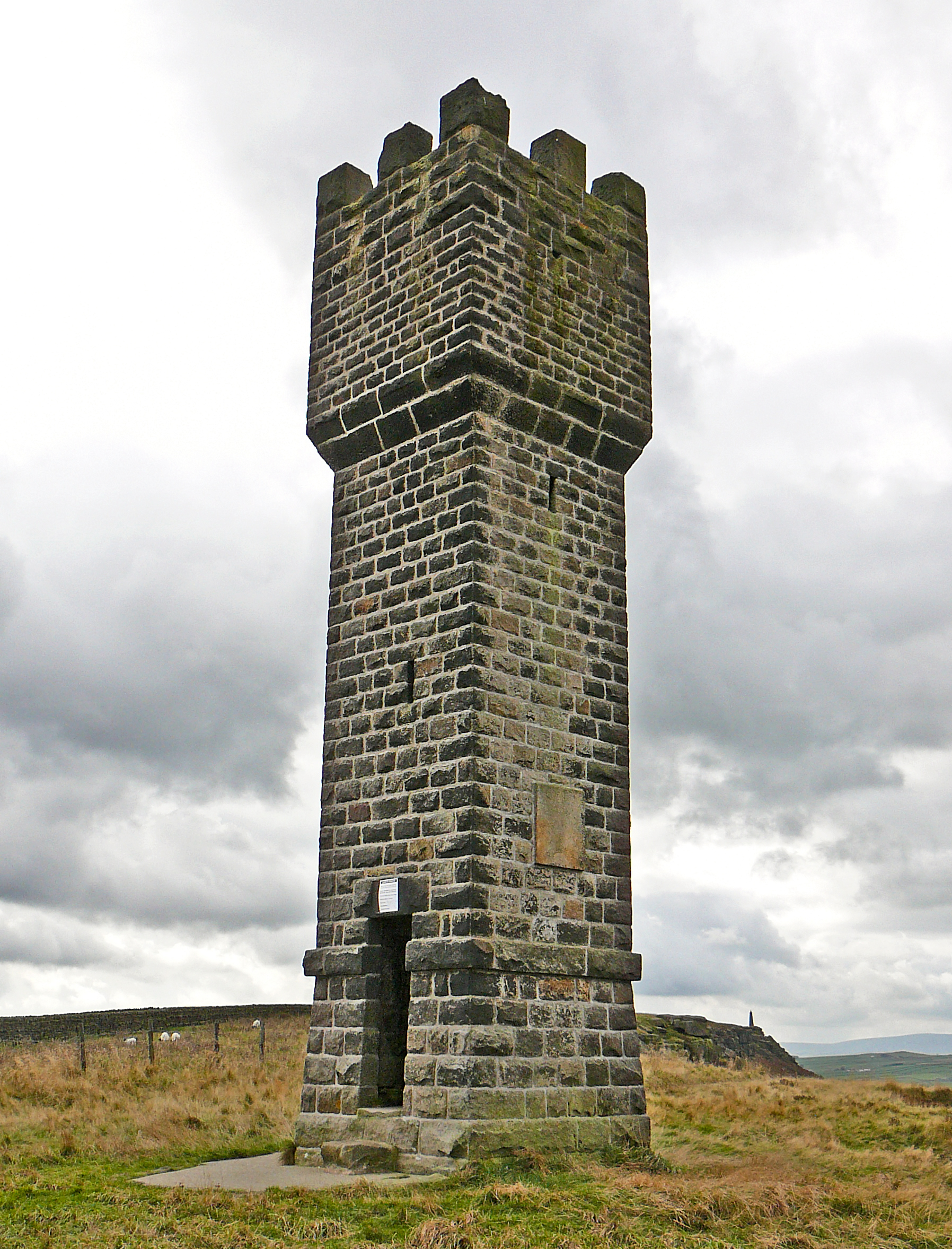
Lund's Tower
Lund's Tower is a stone-built folly situated to the south-west of the North Yorkshire village of Sutton-in-Craven. It is also known as Cowling Pinnacle...

Malsis School
Malsis School located at a mansion known as Malsis Hall in the village of Crosshills, in North Yorkshire, England, was a co-educational independent pre...

Stone Gappe
Stone Gappe is an 18th-century house in Lothersdale, North Yorkshire, England; it is a Grade II* listed building. == Construction == The house was constructed...
Nearby Amenities
Located within 500m of 53.874114,-2.0428081Have you been to Dean Bottoms?
Leave your review of Dean Bottoms below (or comments, questions and feedback).