Dean Hole Clough
Valley in Yorkshire Craven
England
Dean Hole Clough

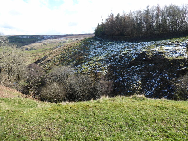
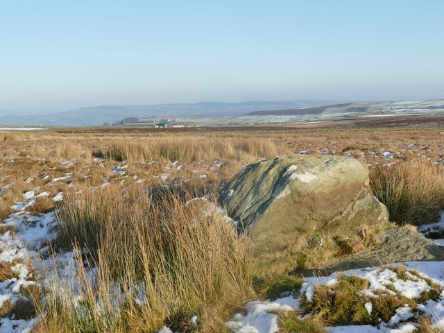
Dean Hole Clough is a picturesque valley located in the heart of Yorkshire, England. Nestled amidst the stunning countryside, this tranquil haven is known for its natural beauty and idyllic landscapes. The valley stretches for approximately 3 miles, providing ample opportunities for outdoor enthusiasts and nature lovers to explore its wonders.
The valley is characterized by its lush greenery, rolling hills, and meandering streams. It is home to an array of diverse flora and fauna, making it a haven for wildlife enthusiasts. Visitors can expect to encounter various bird species, including woodpeckers, kingfishers, and owls, as well as occasional sightings of deer and other mammals.
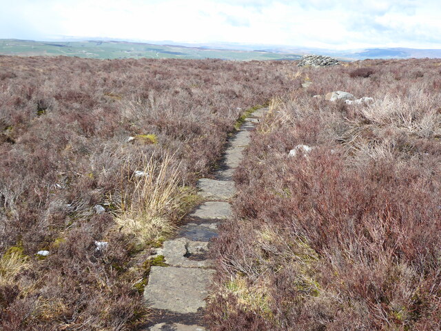
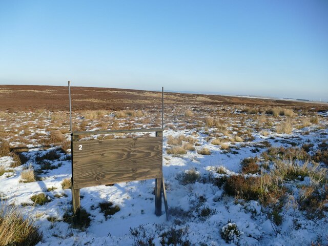
Dean Hole Clough offers numerous walking trails and paths, allowing visitors to immerse themselves in the tranquility of the surroundings. The valley is intersected by the picturesque River Dean, which adds to its charm. The river provides opportunities for fishing and serves as a peaceful backdrop for picnics and relaxation.
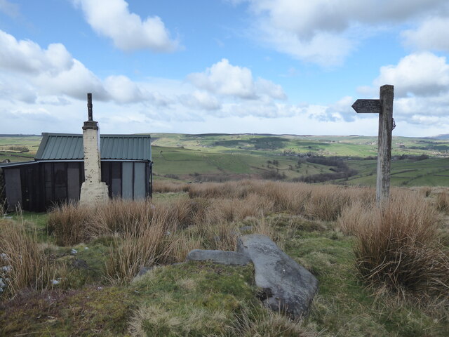
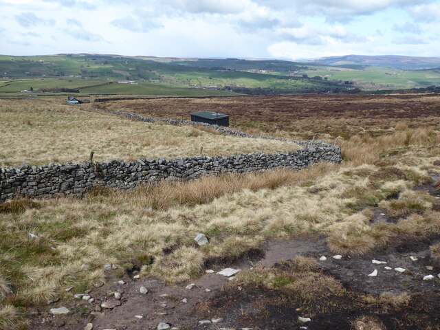
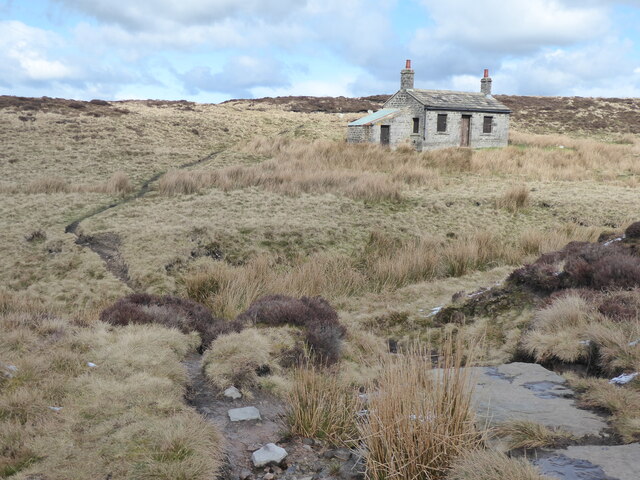
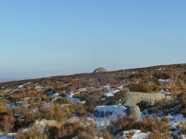
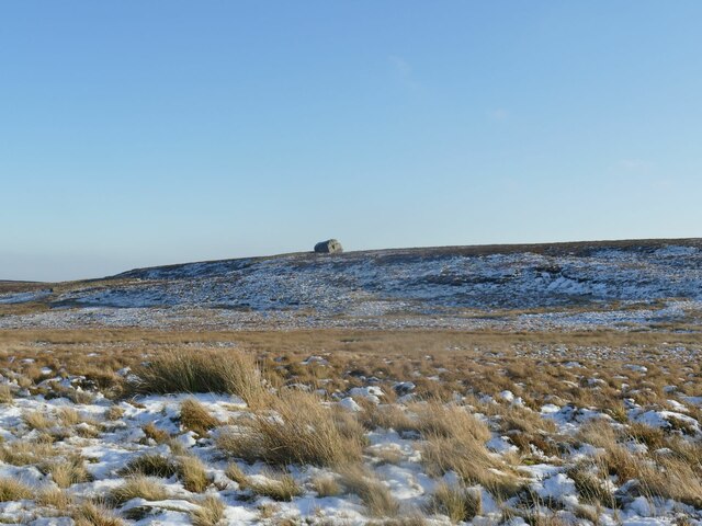
For those seeking further exploration, the valley is surrounded by other natural attractions such as woodlands and moorlands, offering a diverse range of landscapes to discover. The nearby village of Dean Hole provides amenities such as pubs, cafes, and accommodation options for visitors looking to extend their stay.
With its unspoiled beauty and serene ambiance, Dean Hole Clough is a hidden gem in Yorkshire, welcoming visitors to bask in the splendor of nature and experience the tranquility of this enchanting valley.
If you have any feedback on the listing, please let us know in the comments section below.
Dean Hole Clough Images
Images are sourced within 2km of 53.871938/-2.0466993 or Grid Reference SD9741. Thanks to Geograph Open Source API. All images are credited.


Dean Hole Clough is located at Grid Ref: SD9741 (Lat: 53.871938, Lng: -2.0466993)
Division: West Riding
Administrative County: North Yorkshire
District: Craven
Police Authority: North Yorkshire
What 3 Words
///scribbled.usages.firework. Near Glusburn, North Yorkshire
Nearby Locations
Related Wikis
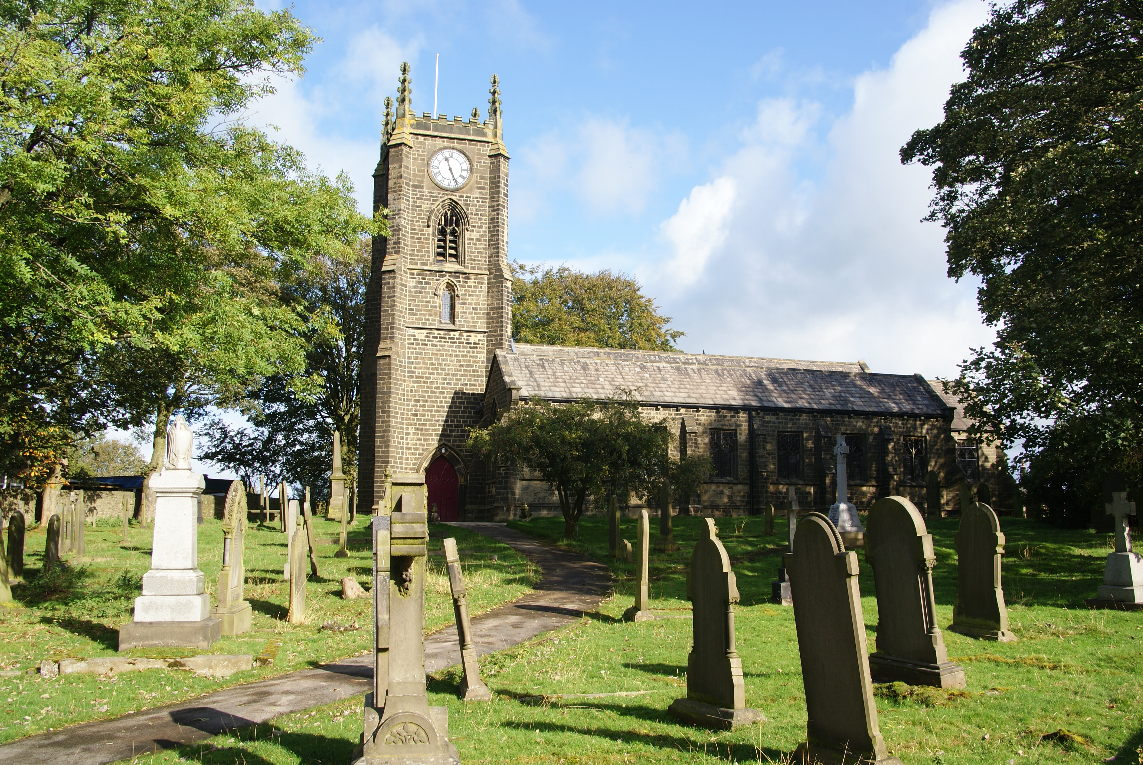
Cowling, Craven
Cowling is a village, electoral division and civil parish in the Craven district of North Yorkshire, England. It is situated on the borders with the adjacent...

Middleton, Cowling
Middleton is a hamlet in the Craven district of North Yorkshire, England, part of the civil parish of Cowling. It is near the border with West Yorkshire...

The Hitching Stone
The Hitching Stone is a gritstone erratic block on Keighley Moor, North Yorkshire, near Earl Crag and the village of Cowling. It is very close to the...

Wainman's Pinnacle
Wainman's Pinnacle, originally built as a folly (and still used as a folly), is a stone obelisk in Sutton-in-Craven, North Yorkshire. It tends to be referred...
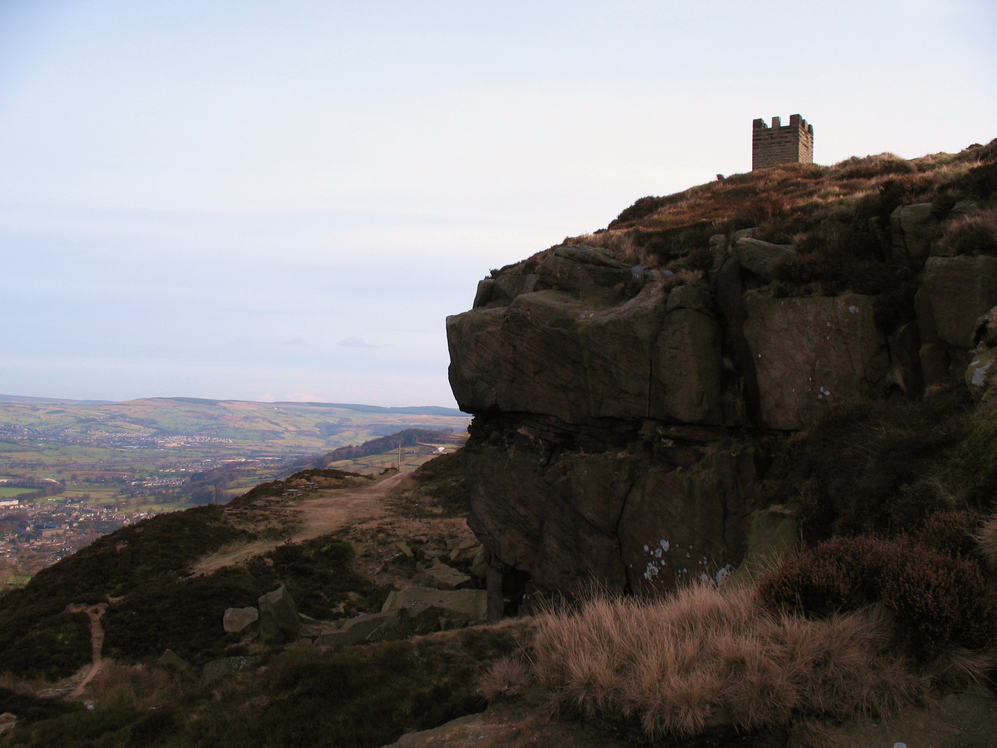
Earl Crag
Earl Crag is a gritstone crag and climbing area in Craven, North Yorkshire, England. It is home to Lund's Tower, Wainman's Pinnacle, and The Hitching...
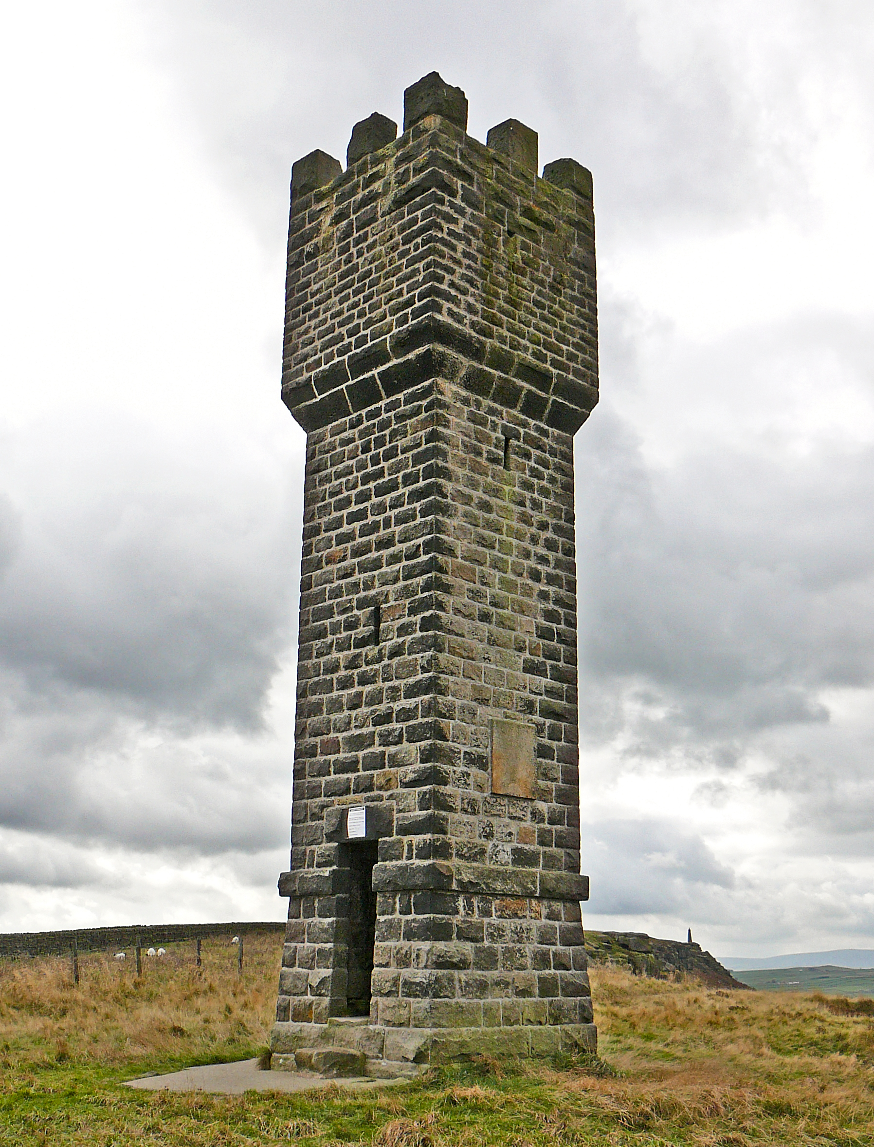
Lund's Tower
Lund's Tower is a stone-built folly situated to the south-west of the North Yorkshire village of Sutton-in-Craven. It is also known as Cowling Pinnacle...

Malsis School
Malsis School located at a mansion known as Malsis Hall in the village of Crosshills, in North Yorkshire, England, was a co-educational independent pre...

Watersheddles Reservoir
Watersheddles Reservoir is an upland artificial lake in Lancashire, England. The reservoir was opened in 1877 by the Keighley Corporation Water Works,...
Nearby Amenities
Located within 500m of 53.871938,-2.0466993Have you been to Dean Hole Clough?
Leave your review of Dean Hole Clough below (or comments, questions and feedback).