Three Mile Bottom

Valley in Gloucestershire Cotswold

England

Three Mile Bottom

Fields to west of Church Farm Viewed from railway line
Fields to west of Church Farm Credit: Clint Mann

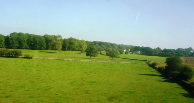
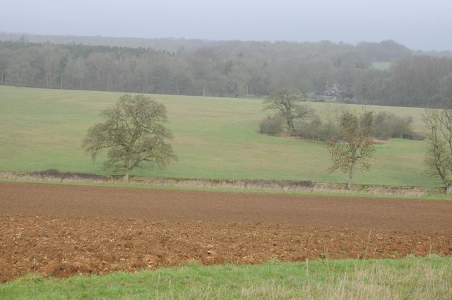
Three Mile Bottom is a picturesque valley located in the county of Gloucestershire, England. Situated approximately three miles south of the village of Painswick, the valley is renowned for its stunning natural beauty and tranquil atmosphere.

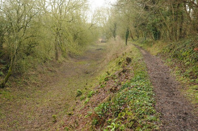
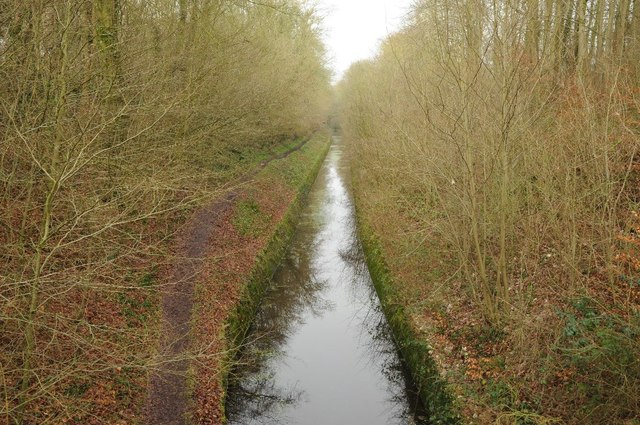
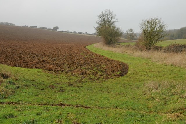
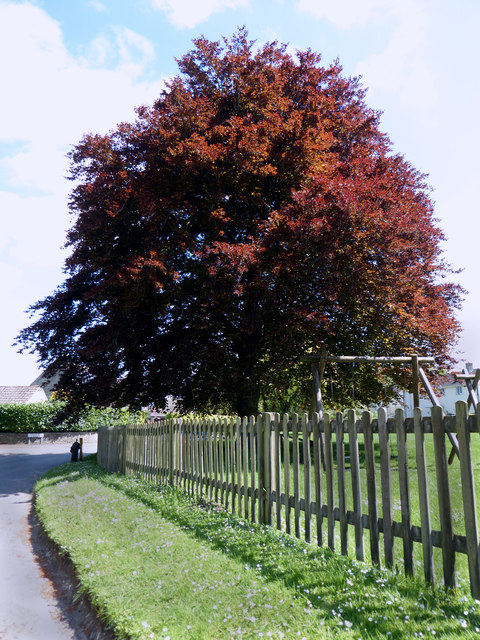
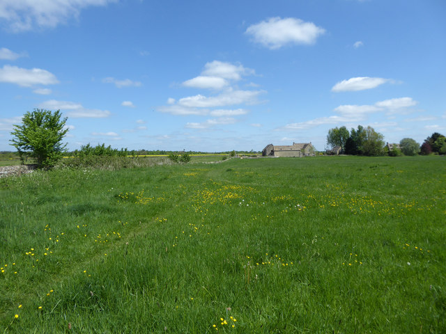
The valley is nestled between rolling hills and is characterized by its lush green meadows, dense woodlands, and charming streams that meander through the landscape. It provides a haven for a diverse range of wildlife, including various bird species and small mammals, making it a popular destination for nature enthusiasts and birdwatchers.

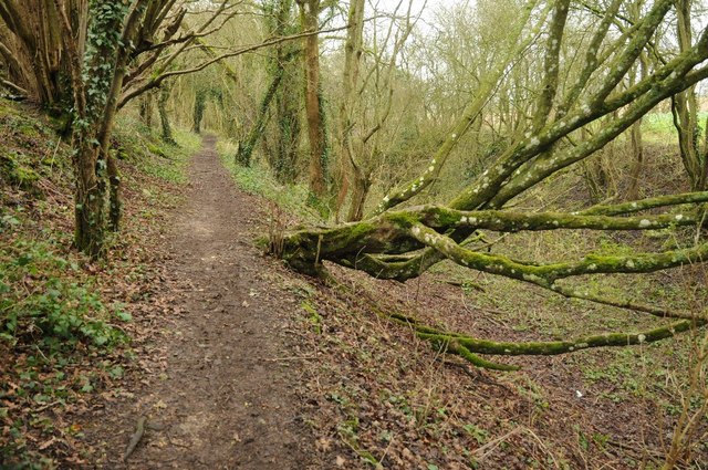
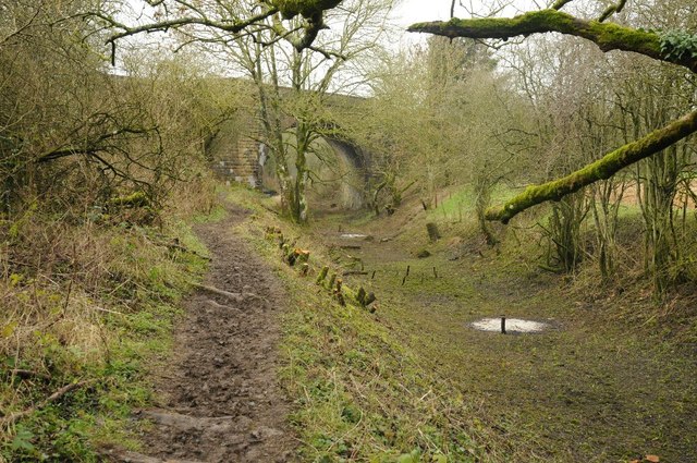
Three Mile Bottom is also home to a number of walking trails, offering visitors the opportunity to explore the area on foot and take in the breathtaking scenery. The valley boasts an abundance of flora and fauna, with wildflowers carpeting the meadows during spring and summer months.

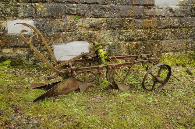
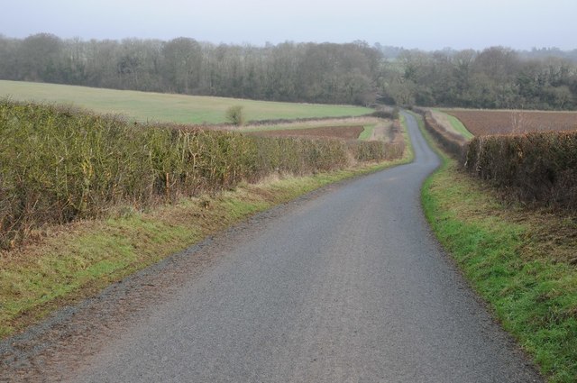
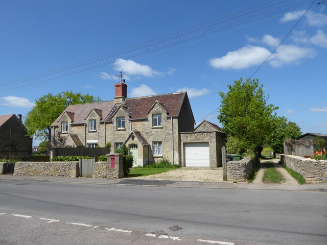
The area surrounding Three Mile Bottom is rich in history, with several ancient landmarks and historical sites nearby. The valley itself is dotted with remnants of old stone walls and traditional farm buildings, providing a glimpse into the region's rural past.

Overall, Three Mile Bottom is a hidden gem in Gloucestershire, offering visitors a peaceful retreat and a chance to connect with nature. Whether you are seeking a quiet stroll, a picnic spot, or simply a place to unwind, this picturesque valley is sure to captivate and rejuvenate all who visit.

If you have any feedback on the listing, please let us know in the comments section below.

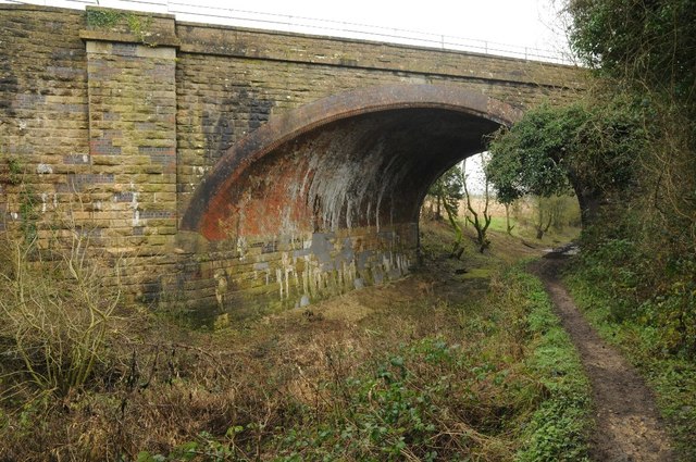
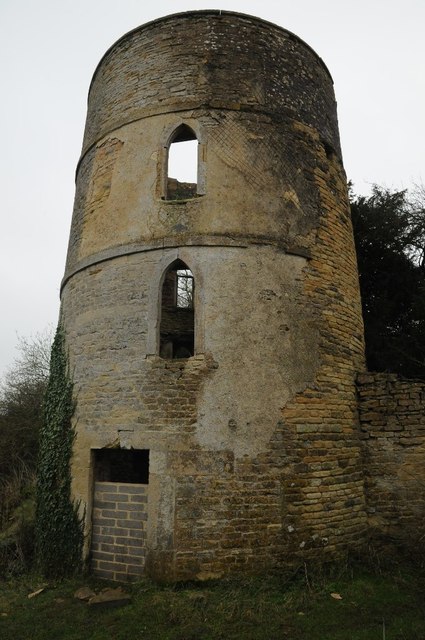
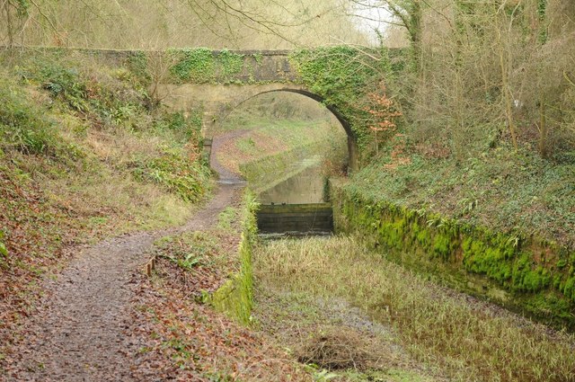
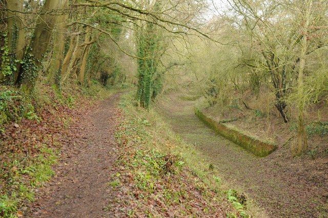
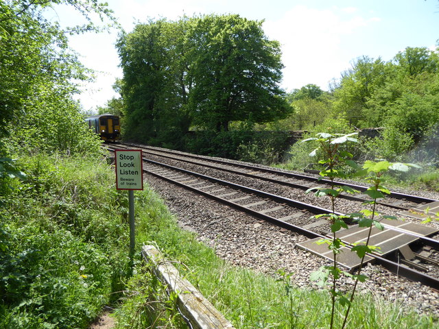
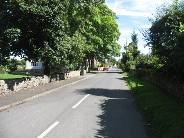
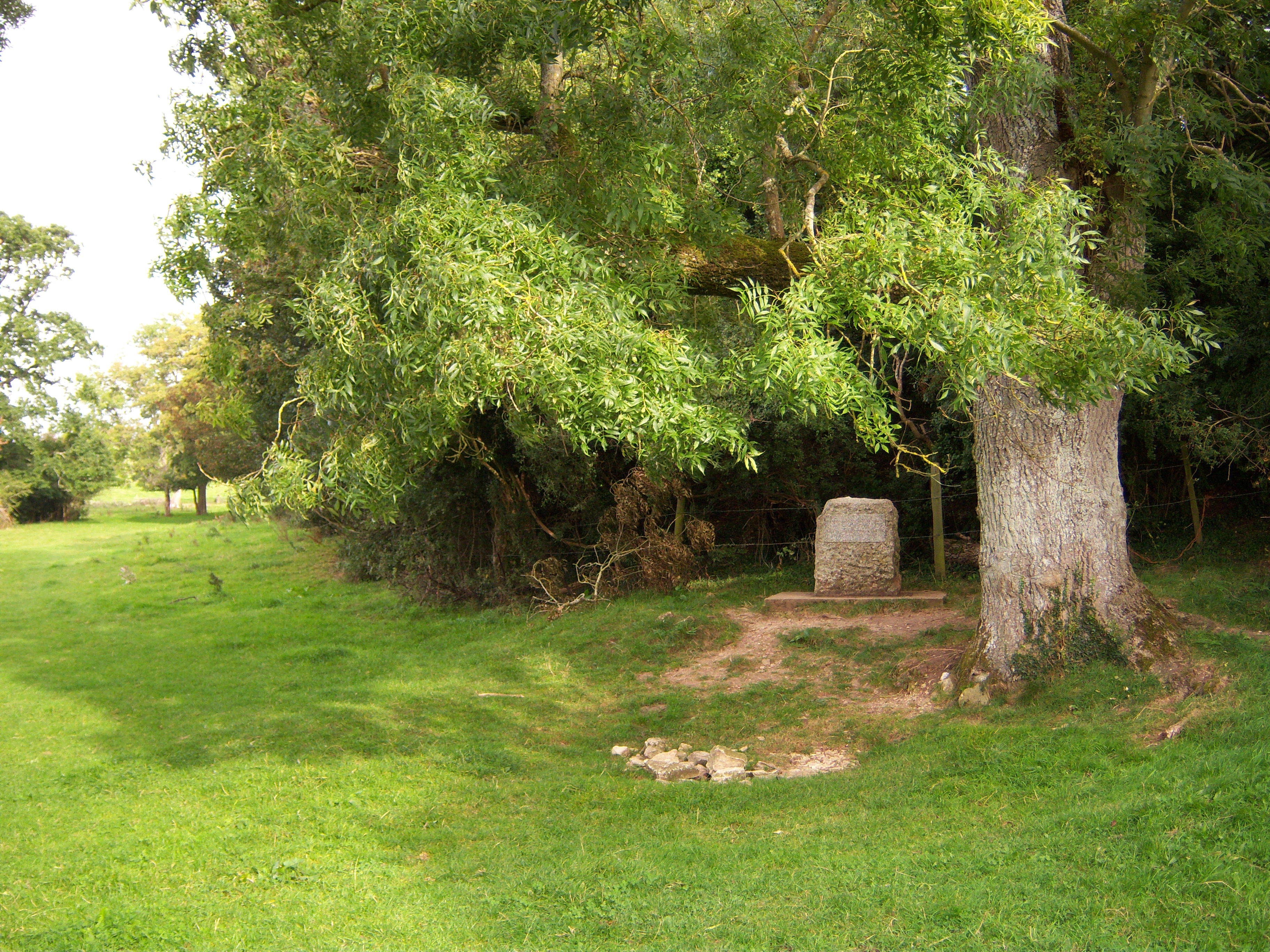
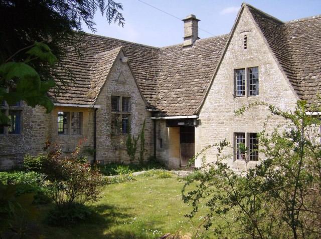
Three Mile Bottom Images

Images are sourced within 2km of 51.71582/-2.044983 or Grid Reference SO9601. Thanks to Geograph Open Source API. All images are credited.

Fields to west of Church Farm Viewed from railway line
Fields to west of Church Farm
Viewed from railway line
The disused Thames and Severn Canal The towpath beside the disused Thames and Severn Canal near Thames Head and the source of the River Thames.  This path is also the route of two long distance paths, the Monarch's Way and Wysis Way.
The disused Thames and Severn Canal
The towpath beside the disused Thames and Severn Canal near Thames Head and the source of the River Thames. This path is also the route of two long distance paths, the Monarch's Way and Wysis Way.
Railway bridge crossing Thames and Severn Canal The towpath beside the disused Thames and Severn Canal approaching the railway bridge carrying the Gloucester to Swindon railway.  This path is also the route of two long distance paths, the Monarch's Way and Wysis Way.  Work has recently been taking place here with trees cut down and the brash burnt.
Railway bridge crossing Thames and Severn Canal
The towpath beside the disused Thames and Severn Canal approaching the railway bridge carrying the Gloucester to Swindon railway. This path is also the route of two long distance paths, the Monarch's Way and Wysis Way. Work has recently been taking place here with trees cut down and the brash burnt.
Abandoned old plough This old plough appears to be abandoned on the towpath of the disused Thames and Severn Canal.
Abandoned old plough
This old plough appears to be abandoned on the towpath of the disused Thames and Severn Canal.
Railway bridge crossing the Thames and Severn Canal The railway bridge carries the Gloucester to Swindon railway lane over the disused Thames and Severn Canal.
Railway bridge crossing the Thames and Severn Canal
The railway bridge carries the Gloucester to Swindon railway lane over the disused Thames and Severn Canal.
Round Tower, Thames and Severn Canal One of five Round Towers on the disused Thames and Severn Canal, this one is near the village of Coates and the railway bridge carrying the Gloucester to Swindon railway.  These three storey buildings included a storage area on the ground floor and living quarters on the first and second floors.
Round Tower, Thames and Severn Canal
One of five Round Towers on the disused Thames and Severn Canal, this one is near the village of Coates and the railway bridge carrying the Gloucester to Swindon railway. These three storey buildings included a storage area on the ground floor and living quarters on the first and second floors.
Tarlton Bridge Tarlton Bridge crossing the disused Thames and Severn Canal.
Tarlton Bridge
Tarlton Bridge crossing the disused Thames and Severn Canal.
The Thames and Severn Canal The Thames and Severn Canal near Tarlton Bridge.  The towpath is also the route of two long distance paths, the Monarch's Way and Wysis Way.
The Thames and Severn Canal
The Thames and Severn Canal near Tarlton Bridge. The towpath is also the route of two long distance paths, the Monarch's Way and Wysis Way.
Thames and Severn Canal from Tarlton Bridge The Thames and Severn Canal between Tarlton Bridge and the Sapperton Tunnel.  The towpath is also the route of two long distance paths, the Monarch's Way and Wysis Way.
Thames and Severn Canal from Tarlton Bridge
The Thames and Severn Canal between Tarlton Bridge and the Sapperton Tunnel. The towpath is also the route of two long distance paths, the Monarch's Way and Wysis Way.
Ploughed field near Tarlton Ploughed field and headland near Tarlton.
Ploughed field near Tarlton
Ploughed field and headland near Tarlton.
Road approaching Tarlton Bridge Country road approaching Tarlton Bridge where it crosses the old Thames and Severn Canal.
Road approaching Tarlton Bridge
Country road approaching Tarlton Bridge where it crosses the old Thames and Severn Canal.
Site of a Roman settlement Site of a Roman settlement near Tarlton viewed from the south.  Even today after many centuries it is possible to make out the outline in the field.
Site of a Roman settlement
Site of a Roman settlement near Tarlton viewed from the south. Even today after many centuries it is possible to make out the outline in the field.
Village pump, Coates The village pump stands in the shade of a magnificent copper beech tree. See also <a href="https://www.geograph.org.uk/photo/1517887">SO9801 : Pump and hydrant, Quaker Row, Coates</a>.
Village pump, Coates
The village pump stands in the shade of a magnificent copper beech tree. See also SO9801 : Pump and hydrant, Quaker Row, Coates.
1-6 Bathurst Row, Coates Grade II Listed early to mid-19th century Cotswold stone cottages. The listing is for three identical pairs of cottages in a row (the others are outside the picture to the left). <span class="nowrap"><a title="http://www.britishlistedbuildings.co.uk/en-129299-1-6-bathurst-row-coates-gloucestershire#.Vzt9EpD2aUk" rel="nofollow ugc noopener" href="http://www.britishlistedbuildings.co.uk/en-129299-1-6-bathurst-row-coates-gloucestershire#.Vzt9EpD2aUk">Link</a><img style="margin-left:2px;" alt="External link" title="External link - shift click to open in new window" src="https://s1.geograph.org.uk/img/external.png" width="10" height="10"/></span> An ER postbox is set into the wall in front of the cottages. A public footpath to the right of the cottages leads to the fields.
1-6 Bathurst Row, Coates
Grade II Listed early to mid-19th century Cotswold stone cottages. The listing is for three identical pairs of cottages in a row (the others are outside the picture to the left). LinkExternal link An ER postbox is set into the wall in front of the cottages. A public footpath to the right of the cottages leads to the fields.
The Setts Buildings, Coates
Footpath across railway line near Bassett Dockem The public footpath here crosses the main railway line from Swindon to Gloucester, along which high speed trains frequently run.
Footpath across railway line near Bassett Dockem
The public footpath here crosses the main railway line from Swindon to Gloucester, along which high speed trains frequently run.
Coates village Looking along the main street.
Coates village
Looking along the main street.
Show me another place!

Three Mile Bottom is located at Grid Ref: SO9601 (Lat: 51.71582, Lng: -2.044983)

Administrative County: Gloucestershire

District: Cotswold

Police Authority: Gloucestershire

What 3 Words

///amber.prouder.winded. Near Coates, Gloucestershire

Nearby Locations

Three Mile Bottom

Related Wikis

Alfred's Hall

Alfred's Hall is a ruined folly in Cirencester Park, Gloucestershire, England. The Grade II* listed building dates from 1721 and is "probably the first...

Coates, Gloucestershire

Coates is a village and civil parish situated in Cotswold District, Gloucestershire, England. It is around 3 miles (4.8 km) west of Cirencester and close...

Sapperton Canal Tunnel

The Sapperton Canal Tunnel is a tunnel on the Thames and Severn Canal near Cirencester in Gloucestershire, England. With a length of 3,817 yards (3,490...

Thames Head

Thames Head is a group of seasonal springs that arise near the village of Coates in the Cotswolds, about three miles south-west of the town of Cirencester...

St Kenelm's Church, Sapperton, Gloucestershire

St Kenelm's Church is a historic church in Sapperton, Gloucestershire in the care of The Churches Conservation Trust. It is listed Grade I on the National...

Sapperton, Gloucestershire

Sapperton is a village and civil parish in the Cotswold District of Gloucestershire in England, about 4.5 miles (7.2 km) west of Cirencester. It is most...

A419 road

The A419 road is a primary route between Chiseldon near Swindon at junction 15 of the M4 with the A346 road, and Whitminster in Gloucestershire, England...

Tetbury Road railway station

Tetbury Road railway station was built by the Cheltenham & Great Western Union Railway to serve the Gloucestershire villages of Kemble and Coates, and...

Nearby Amenities

Located within 500m of 51.71582,-2.044983
Bus Stop
Hayley Wood Sawmill
Bus: yes
Naptan AtcoCode: 1600GLC261
Naptan Bearing: SE
Naptan CommonName: Hayley Wood Sawmill
Naptan Indicator: Opp
Naptan NaptanCode: glodwatd
Naptan Street: Sapperton Rd
Naptan Verified: no
Public Transport: platform
Source: naptan_import
Lat/Long: 51.714719/-2.0509219
Bus Stop
Hayley Wood Sawmill
Bus: yes
Naptan AtcoCode: 1600GLC262
Naptan Bearing: NW
Naptan CommonName: Hayley Wood Sawmill
Naptan NaptanCode: glodwapm
Naptan Street: Sapperton Rd
Naptan Verified: no
Public Transport: platform
Source: naptan_import
Lat/Long: 51.714665/-2.0509508
The data included in this document is from www.openstreetmap.org. The data is made available under ODbL.

Have you been to Three Mile Bottom?

Leave your review of Three Mile Bottom below (or comments, questions and feedback).