Light Hazzles Clough
Valley in Lancashire
England
Light Hazzles Clough

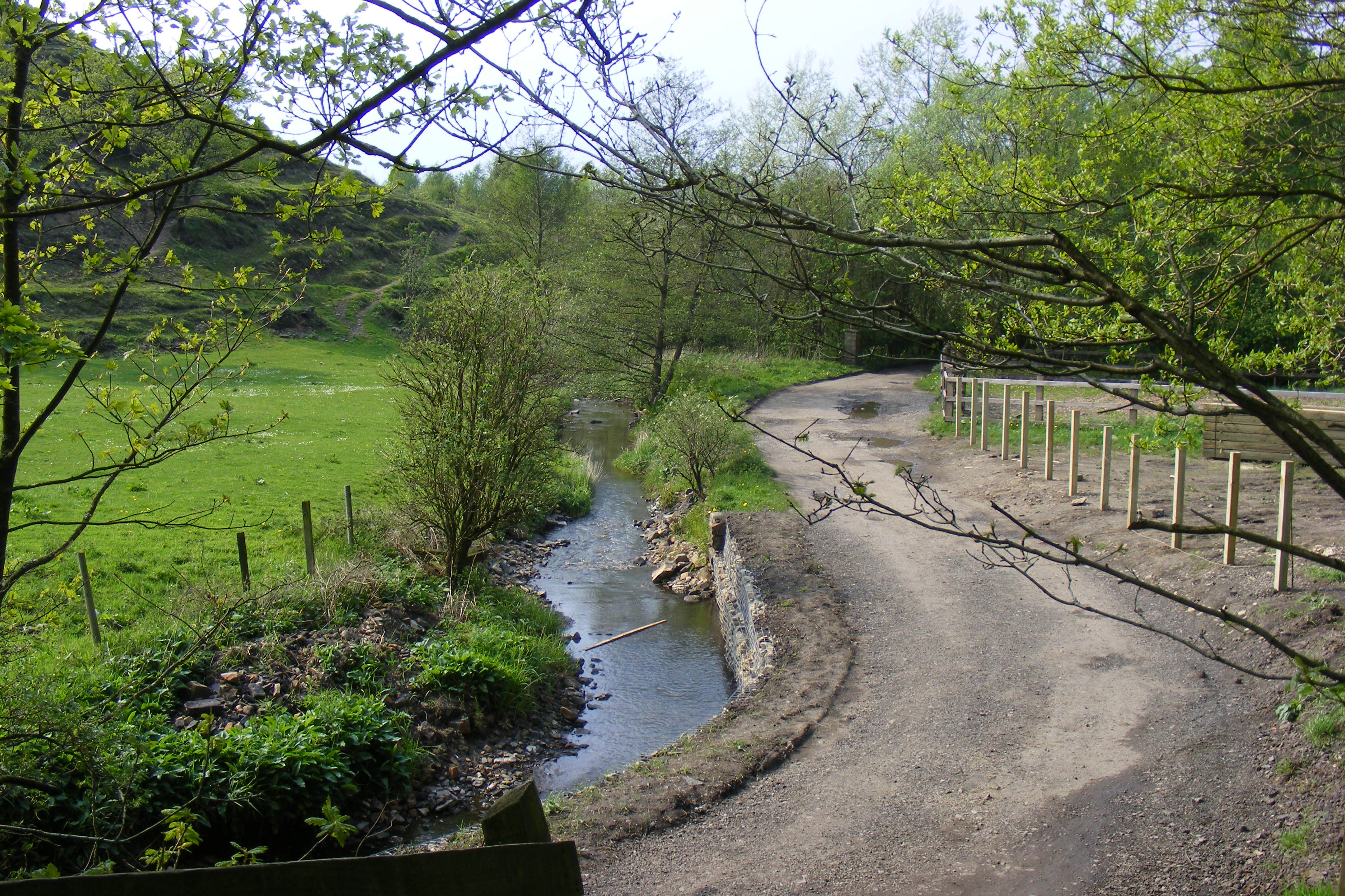
Light Hazzles Clough is a picturesque valley located in the county of Lancashire, England. Situated in the northern part of the county, it is known for its stunning natural beauty and tranquil surroundings. The valley is nestled amidst rolling hills and is characterized by its lush greenery, meandering streams, and dense woodlands.
The name "Light Hazzles Clough" is derived from the Old English language, with "clough" meaning a steep-sided valley and "hazzles" referring to the hazel trees that are abundant in the area. This name aptly describes the landscape of the valley, which is dotted with hazel groves and other native flora.
The valley is a haven for nature enthusiasts and hikers, offering a range of walking trails that showcase the area's diverse wildlife and plant species. Visitors can explore the numerous footpaths that wind through the valley, providing breathtaking views of the surrounding countryside.
Light Hazzles Clough also boasts a rich history, with evidence of human habitation dating back thousands of years. Archaeological discoveries have uncovered traces of ancient settlements and burial sites, providing valuable insights into the region's past.
In addition to its natural and historical significance, the valley is also home to a variety of wildlife, including deer, foxes, and a wide range of bird species. This makes it a popular destination for birdwatchers and wildlife enthusiasts.
Overall, Light Hazzles Clough is a remarkable destination for those seeking a peaceful and idyllic retreat in the heart of Lancashire's countryside. Its captivating beauty, rich history, and abundant wildlife make it a must-visit location for both locals and tourists alike.
If you have any feedback on the listing, please let us know in the comments section below.
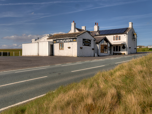
Light Hazzles Clough Images
Images are sourced within 2km of 53.66976/-2.0689506 or Grid Reference SD9519. Thanks to Geograph Open Source API. All images are credited.


Light Hazzles Clough is located at Grid Ref: SD9519 (Lat: 53.66976, Lng: -2.0689506)
Unitary Authority: Rochdale
Police Authority: Greater Manchester
What 3 Words
///tripling.flood.assorted. Near Littleborough, Manchester
Nearby Locations
Related Wikis

Summit Tunnel fire
The Summit Tunnel fire occurred on 20 December 1984, when a dangerous goods train caught fire while passing through the Summit Tunnel on the railway line...

Calderbrook
Calderbrook ( KAWL-dər-bruuk) is a village within the Metropolitan Borough of Rochdale, in Greater Manchester, England. It was originally part of the township...

Blackstone Edge Reservoir
Blackstone Edge Reservoir is a reservoir in the Metropolitan Borough of Rochdale, Greater Manchester, England. It is close to Blackstone Edge, from which...

Summit Tunnel
Summit Tunnel in England is one of the world's oldest railway tunnels. It was constructed between 1838 and 1841 by the Manchester and Leeds Railway Company...

Greenvale Brook
Greenvale Brook is a watercourse in Greater Manchester and a tributary of the River Roch. == Tributaries == Lydgate Brook Castle Brook Red Brook Lead Mine...
Town House Brook
Town House Brook is a watercourse in Greater Manchester and a tributary of the River Roch. == Tributaries == Long Clough Brook Turn Slack Brook Blue Pot...
Ealees Brook
Ealees Brook is a water course in Greater Manchester named after the Ealees area of Littleborough. It flows northwards from the Ealees Valley to the River...

Littleborough railway station
Littleborough railway station serves the town of Littleborough in the Metropolitan Borough of Rochdale, Greater Manchester, England. It lies on the Calder...
Nearby Amenities
Located within 500m of 53.66976,-2.0689506Have you been to Light Hazzles Clough?
Leave your review of Light Hazzles Clough below (or comments, questions and feedback).