Dry Gill
Valley in Yorkshire Richmondshire
England
Dry Gill

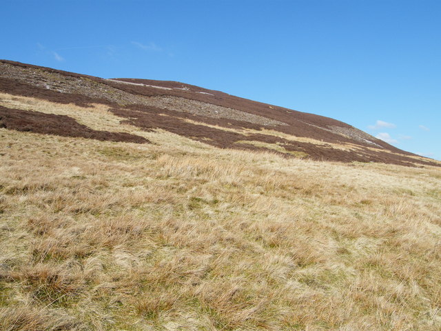
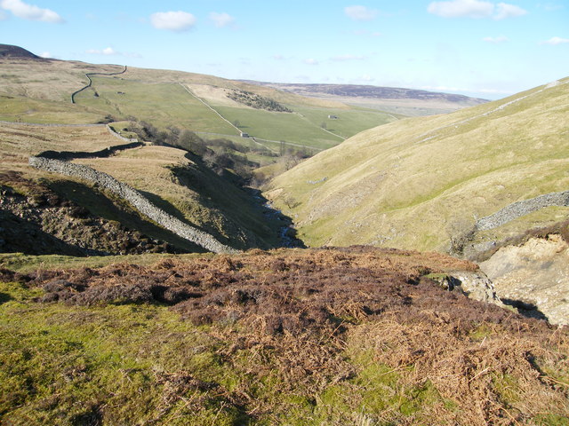
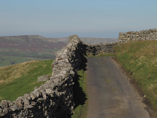
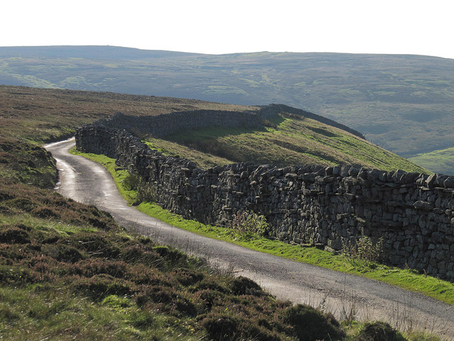
Dry Gill is a picturesque valley situated in the Yorkshire Dales National Park in North Yorkshire, England. It is located approximately 3 miles south of the town of Hawes and is considered one of the most stunning valleys in the region. The valley is formed by a small stream known as Dry Gill Beck, which flows through the center, surrounded by steep slopes covered in lush greenery and dotted with limestone outcrops.
The valley is a haven for nature enthusiasts and hikers due to its unspoiled beauty and rich biodiversity. The surrounding hills provide excellent opportunities for hiking, with numerous trails that offer breathtaking views of the valley and beyond. The area is home to a wide array of wildlife, including various bird species, mammals like red deer and rabbits, and a diverse range of plant life.
At the heart of Dry Gill, there is a quaint village consisting of a few charming cottages, adding to the idyllic atmosphere of the area. The village is known for its warm hospitality and friendly locals, who often engage in traditional rural activities like sheep farming and cheese making.
Visitors to Dry Gill can also explore the nearby attractions, such as the historic market town of Hawes, which offers a range of amenities, including shops, cafes, and a famous cheese factory. The valley's close proximity to the Yorkshire Dales National Park also allows visitors to explore other natural wonders in the area, such as the famous Aysgarth Falls and the stunning Ribblehead Viaduct.
Overall, Dry Gill is a hidden gem in Yorkshire, offering visitors a tranquil escape into nature with its stunning landscapes, abundant wildlife, and charming village life.
If you have any feedback on the listing, please let us know in the comments section below.
Dry Gill Images
Images are sourced within 2km of 54.356188/-2.0736998 or Grid Reference SD9595. Thanks to Geograph Open Source API. All images are credited.


![Footpath at Bank Heads Grinton parish footpath 58 cuts along the hillside at Bank Heads, passing a ruined lime kiln [lower centre picture] by an outcrop of limestone. In the distance is the village of Gunnerside.](https://s1.geograph.org.uk/geophotos/02/57/15/2571557_af00215e.jpg)


Dry Gill is located at Grid Ref: SD9595 (Lat: 54.356188, Lng: -2.0736998)
Division: North Riding
Administrative County: North Yorkshire
District: Richmondshire
Police Authority: North Yorkshire
What 3 Words
///tame.foggy.motoring. Near Leyburn, North Yorkshire
Nearby Locations
Related Wikis

Crackpot, North Yorkshire
Crackpot is a village in Swaledale, North Yorkshire, England. Its name derives from the Old English kraka (crow) and the Viking word pot (usually a pit...

Satron
Satron is a hamlet in Swaledale, North Yorkshire, England. It lies 0.6 miles (1 km) south west of Gunnerside on the opposite bank of the River Swale. It...

Gunnerside
Gunnerside is a village in North Yorkshire, England. It is situated in Swaledale, on the B6270 road, 3 miles (5 km) east of Muker and 6 miles (10 km) west...

Ivelet
Ivelet is a hamlet in the Yorkshire Dales, North Yorkshire, England about a mile west of Gunnerside in Swaledale. Ivelet Bridge crosses the River Swale...

Low Row
Low Row is a village in Swaledale, in the Yorkshire Dales, North Yorkshire, England. It lies about 3 miles west of Reeth and is between Healaugh and Gunnerside...

Newbiggin, Askrigg
Newbiggin is a hamlet very close to Askrigg, North Yorkshire, England. Another Newbiggin is only about 7 miles (11 km) away. The hamlet consists of eight...

Melbecks
Melbecks is a civil parish in North Yorkshire, England. It is located in upper Swaledale and covers the settlements of Gunnerside, Low Row, Feetham and...

Feetham
Feetham is a hamlet opposite Low Row in the Yorkshire Dales, North Yorkshire, England. The origin of the place-name is from Old Norse and means place at...
Have you been to Dry Gill?
Leave your review of Dry Gill below (or comments, questions and feedback).