Bloody Vale
Valley in Yorkshire Richmondshire
England
Bloody Vale

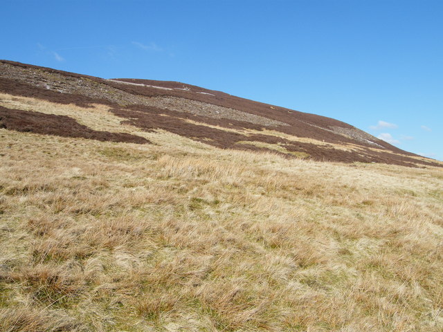
Bloody Vale, Yorkshire, is a picturesque valley located in the northern region of England. Nestled amidst the rolling hills and green landscapes of Yorkshire, this valley holds historical significance and natural beauty. The name "Bloody Vale" is believed to have originated from a violent past associated with battles and conflicts that took place in the region.
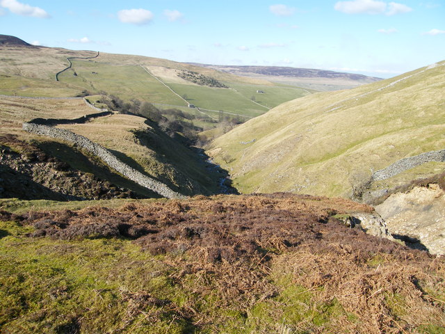
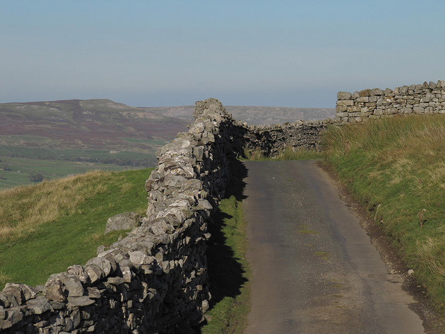
The valley is surrounded by lush meadows and dense woodlands, offering a tranquil escape from the hustle and bustle of urban life. The River Aire flows through the valley, adding to its charm and providing a peaceful ambiance. The water is crystal clear, and the riverbanks are adorned with colorful wildflowers and tall grasses.
Bloody Vale is also home to diverse wildlife and is a haven for nature enthusiasts. Visitors can spot various species of birds, including herons, kingfishers, and ducks, as well as small mammals like badgers and foxes. The valley's rich biodiversity is preserved through careful conservation efforts.
The valley offers several hiking trails that cater to both beginners and experienced trekkers. These trails wind through the valley, offering breathtaking views of the surrounding countryside. The nearby quaint villages and historical sites, such as medieval castles and ancient ruins, make Bloody Vale an ideal destination for history buffs and those seeking a glimpse into the region's past.
In conclusion, Bloody Vale, Yorkshire, is a captivating valley that amalgamates natural beauty, historical significance, and a peaceful atmosphere. With its scenic landscapes, diverse wildlife, and cultural heritage, it stands as a testament to the region's rich history and natural splendor.
If you have any feedback on the listing, please let us know in the comments section below.
Bloody Vale Images
Images are sourced within 2km of 54.357126/-2.0672696 or Grid Reference SD9595. Thanks to Geograph Open Source API. All images are credited.


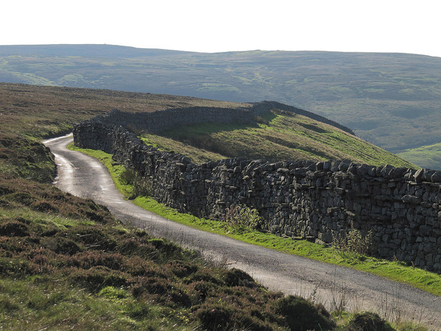
![Footpath at Bank Heads Grinton parish footpath 58 cuts along the hillside at Bank Heads, passing a ruined lime kiln [lower centre picture] by an outcrop of limestone. In the distance is the village of Gunnerside.](https://s1.geograph.org.uk/geophotos/02/57/15/2571557_af00215e.jpg)


Bloody Vale is located at Grid Ref: SD9595 (Lat: 54.357126, Lng: -2.0672696)
Division: North Riding
Administrative County: North Yorkshire
District: Richmondshire
Police Authority: North Yorkshire
What 3 Words
///curtail.typed.fever. Near Leyburn, North Yorkshire
Nearby Locations
Related Wikis

Crackpot, North Yorkshire
Crackpot is a village in Swaledale, North Yorkshire, England. Its name derives from the Old English kraka (crow) and the Viking word pot (usually a pit...

Gunnerside
Gunnerside is a village in North Yorkshire, England. It is situated in Swaledale, on the B6270 road, 3 miles (5 km) east of Muker and 6 miles (10 km) west...

Satron
Satron is a hamlet in Swaledale, North Yorkshire, England. It lies 0.6 miles (1 km) south west of Gunnerside on the opposite bank of the River Swale. It...

Ivelet
Ivelet is a hamlet in the Yorkshire Dales, North Yorkshire, England about a mile west of Gunnerside in Swaledale. Ivelet Bridge crosses the River Swale...

Low Row
Low Row is a village in Swaledale, in the Yorkshire Dales, North Yorkshire, England. It lies about 3 miles west of Reeth and is between Healaugh and Gunnerside...

Feetham
Feetham is a hamlet opposite Low Row in the Yorkshire Dales, North Yorkshire, England. The origin of the place-name is from Old Norse and means place at...

Melbecks
Melbecks is a civil parish in North Yorkshire, England. It is located in upper Swaledale and covers the settlements of Gunnerside, Low Row, Feetham and...

Newbiggin, Askrigg
Newbiggin is a hamlet very close to Askrigg, North Yorkshire, England. Another Newbiggin is only about 7 miles (11 km) away. The hamlet consists of eight...
Related Videos

Hiking around Gunnerside Yorkshire Dales
A family Hike to Gunnerside Gill in the Yorkshire Dales. Gunnerside is home to some wonderful old buildings that have been left ...
A Journey Through Swaledale: Tan Hill to Reeth
With an industrial heritage of coal and lead mining, Swaledale sits at the northwest tip of the Yorkshire Dales. With no disrespect ...
Gunnerside & Swinner Gill, Yorkshire Dales - 19 July 2020
A 12 mile walk from the Gunnerside. The route follows the River Swale upstream towards Muker and then on towards Keld before ...
Nearby Amenities
Located within 500m of 54.357126,-2.0672696Have you been to Bloody Vale?
Leave your review of Bloody Vale below (or comments, questions and feedback).