Arn Gill

Valley in Yorkshire Richmondshire

England

Arn Gill

Main Street, Askrigg Fairly tourist-free on a Monday in March.
Main Street, Askrigg Credit: Christine Johnstone

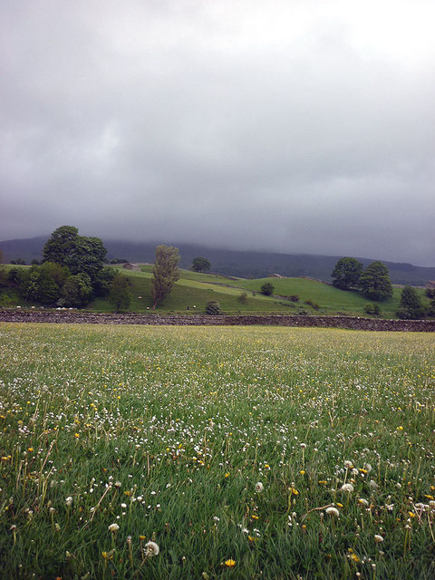
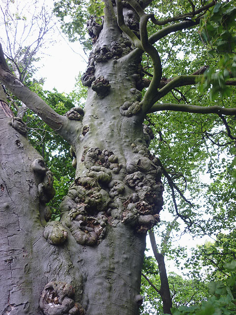
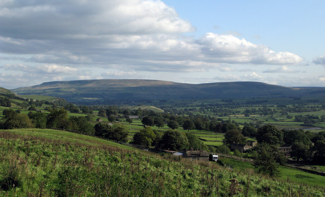
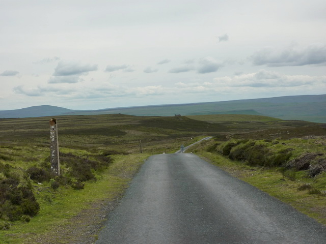
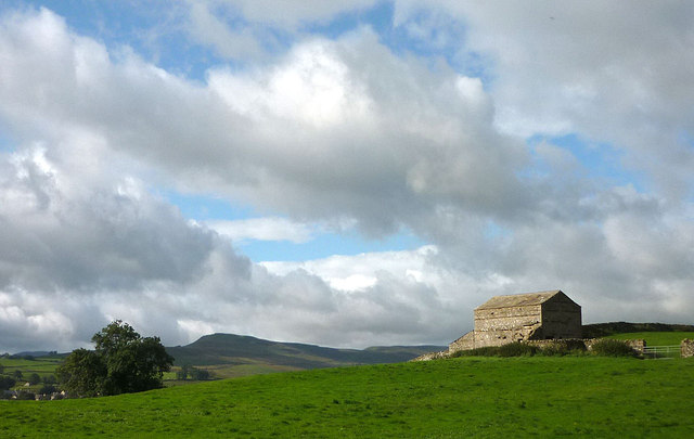
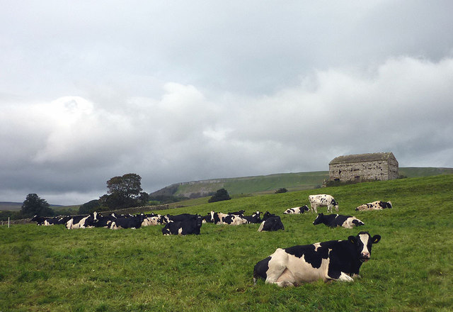
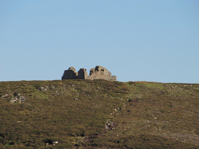
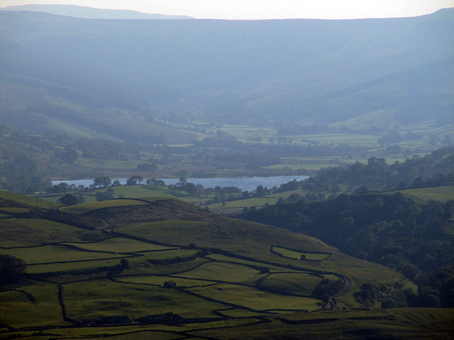
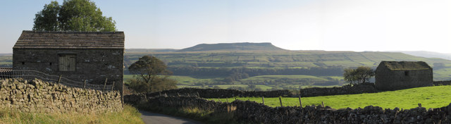
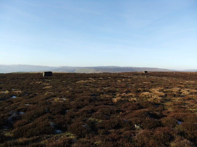
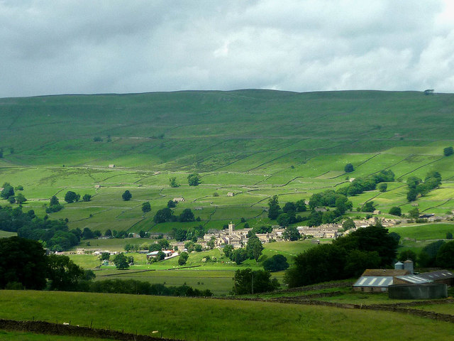
Arn Gill is a picturesque valley located in Yorkshire, England. Situated in the heart of the Yorkshire Dales National Park, this charming area is known for its breathtaking natural beauty and tranquil atmosphere. The valley is surrounded by rolling hills, rugged cliffs, and lush green meadows, making it a haven for outdoor enthusiasts and nature lovers alike.

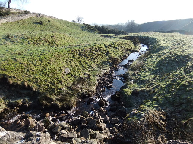
Arn Gill is famed for its stunning waterfalls, with the most prominent being the Arn Gill Force. This powerful cascade plunges down a series of steps, creating a mesmerizing sight and providing a perfect backdrop for photographers and artists. The valley is also home to several other smaller waterfalls, each adding to the enchanting ambiance of the area.

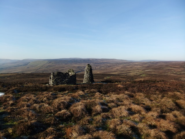
The valley is crisscrossed by numerous walking trails, making it a popular destination for hikers and walkers. These trails offer breathtaking views of the surrounding countryside and allow visitors to fully immerse themselves in nature. Arn Gill is also a favored spot for birdwatching, with a variety of bird species inhabiting the area, including peregrine falcons and red kites.

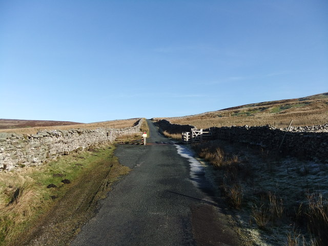
Despite its remote location, Arn Gill is easily accessible by road, and there is ample parking available for visitors. The nearby village of Kettlewell provides basic amenities, including a few shops and cafes, where visitors can refuel and enjoy a warm meal after a day of exploring the valley.

Overall, Arn Gill is a hidden gem within the Yorkshire Dales, offering unparalleled natural beauty, tranquility, and opportunities for outdoor adventures. Whether it's admiring the waterfalls, hiking the trails, or simply soaking up the peaceful atmosphere, Arn Gill is a must-visit destination for nature enthusiasts.

If you have any feedback on the listing, please let us know in the comments section below.

Arn Gill Images

Images are sourced within 2km of 54.326737/-2.0738468 or Grid Reference SD9592. Thanks to Geograph Open Source API. All images are credited.

Main Street, Askrigg Fairly tourist-free on a Monday in March.
Main Street, Askrigg
Fairly tourist-free on a Monday in March.
Cyclists welcomed here Sykes House, Askrigg.
Cyclists welcomed here
Sykes House, Askrigg.
"Skeldale House" Askrigg The outside of this house featured as the surgery where James Herriot practised in the TV series "All Creatures Great and Small" Askrigg, North Yorkshire.
"Skeldale House" Askrigg
The outside of this house featured as the surgery where James Herriot practised in the TV series "All Creatures Great and Small" Askrigg, North Yorkshire.
Main Street Looking up Main Street Askrigg, North Yorkshire. Skeldale House is on the right the outside of this house featured as the surgery where James Herriot practised in the TV series "All Creatures Great and Small" for single view of the house see <a title="https://www.geograph.org.uk/photo/2376629" href="https://www.geograph.org.uk/photo/2376629">Link</a>
Main Street
Looking up Main Street Askrigg, North Yorkshire. Skeldale House is on the right the outside of this house featured as the surgery where James Herriot practised in the TV series "All Creatures Great and Small" for single view of the house see Link
Askrigg Bottoms This is the flat flood plain between Askrigg and the River Ure. Due to the flood risk there are no houses here, only pastures, dry stone walls and barns.
Askrigg Bottoms
This is the flat flood plain between Askrigg and the River Ure. Due to the flood risk there are no houses here, only pastures, dry stone walls and barns.
Beech tree trunk, Mill Gill There are several large beeches in the wooded gill. This one is covered in many wart-like growths and protrusions. Beech trees normally have a very smooth bark.
Beech tree trunk, Mill Gill
There are several large beeches in the wooded gill. This one is covered in many wart-like growths and protrusions. Beech trees normally have a very smooth bark.
Wensleydale from north of Askrigg The view is to Pen Hill, south-eastwards through Wensleydale from a minor road descending from a crossing of the Swaledale/Wensleydale watershed.
Wensleydale from north of Askrigg
The view is to Pen Hill, south-eastwards through Wensleydale from a minor road descending from a crossing of the Swaledale/Wensleydale watershed.
Long Band With Greets Shooting House in the distance
Long Band
With Greets Shooting House in the distance
Barn above Mill Gill, Askrigg Looking across Wensleydale to Crag, the ridge above Bainbridge which carries the Cam High Roman road.
Barn above Mill Gill, Askrigg
Looking across Wensleydale to Crag, the ridge above Bainbridge which carries the Cam High Roman road.
West End cows and barn, Askrigg They must think rain is on the way (the lone optimist apart)?
West End cows and barn, Askrigg
They must think rain is on the way (the lone optimist apart)?
Greets Shooting House ruin
Semerwater seen from Windgate Greets Interesting distant view of Semerwater showing it's unusual elevated location above Wensleydale.
More information about semerwater from here.
<span class="nowrap"><a title="http://www.yorkshiredales.org.uk/visit-the-dales/discover-the-dales/lovely-lakes/semer-water" rel="nofollow ugc noopener" href="http://www.yorkshiredales.org.uk/visit-the-dales/discover-the-dales/lovely-lakes/semer-water">Link</a><img style="margin-left:2px;" alt="External link" title="External link - shift click to open in new window" src="https://s1.geograph.org.uk/img/external.png" width="10" height="10"/></span>
"Semer Water is a natural lake of glacial origin, a rare feature and one of the largest in Yorkshire. It was dammed at its lower end by glacial debris and was formerly much bigger reaching further up Raydale; the overflow from the lake formed the gorge and falls of the River Bain above Bainbridge. The former course of the Bain at the Countersett end is blocked by a drift tail. "
Semerwater seen from Windgate Greets
Interesting distant view of Semerwater showing it's unusual elevated location above Wensleydale. More information about semerwater from here. LinkExternal link "Semer Water is a natural lake of glacial origin, a rare feature and one of the largest in Yorkshire. It was dammed at its lower end by glacial debris and was formerly much bigger reaching further up Raydale; the overflow from the lake formed the gorge and falls of the River Bain above Bainbridge. The former course of the Bain at the Countersett end is blocked by a drift tail. "
View of Addlebrough framed by old barns Classic Wensleydale scene.
View of Addlebrough framed by old barns
Classic Wensleydale scene.
Newbiggin Beck
Newbiggin Beck
Cattle Grid north of Askrigg
Beacon on Woodhall Greets
Grouse butts above Ellerkin Scar
Askrigg Sunlight passes over the Wensleydale village with the square tower of the church prominent.
Askrigg
Sunlight passes over the Wensleydale village with the square tower of the church prominent.
Show me another place!

Arn Gill is located at Grid Ref: SD9592 (Lat: 54.326737, Lng: -2.0738468)

Division: North Riding

Administrative County: North Yorkshire

District: Richmondshire

Police Authority: North Yorkshire

What 3 Words

///vocals.beep.think. Near Leyburn, North Yorkshire

Related Wikis

Newbiggin, Askrigg

Newbiggin is a hamlet very close to Askrigg, North Yorkshire, England. Another Newbiggin is only about 7 miles (11 km) away. The hamlet consists of eight...
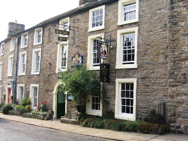
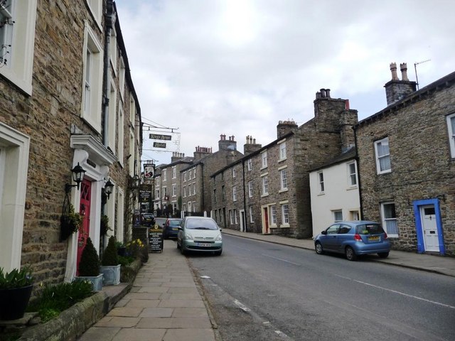
Kings Arms Hotel

The Kings Arms Hotel is a public house and inn in the English village of Askrigg, North Yorkshire. A Grade II listed building, standing on the northern...
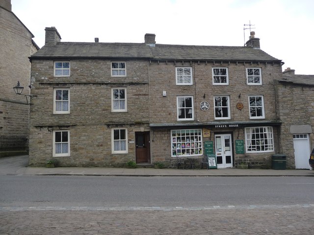
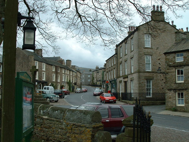
Askrigg

Askrigg is a small village and civil parish in Wensleydale in the Yorkshire Dales National Park. It was formerly a part of the Richmondshire district of...
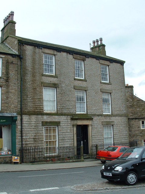
Cringley House

Cringley House (also known as Skeldale House) is an historic building in the English village of Askrigg, North Yorkshire. Standing on the south side of...

St Oswald's Church, Askrigg

St Oswald's Church is a Grade I listed parish church in the Church of England in Askrigg, North Yorkshire. == History == The church dates largely from...

Askrigg railway station

Askrigg railway station is a disused railway station in North Yorkshire, England and served the village of Askrigg. It was part of the Wensleydale Railway...

Nappa Hall

Nappa Hall is a fortified manor house in Wensleydale, North Yorkshire, England, described by English Heritage as "probably the finest and least-spoilt...

Worton, North Yorkshire

Worton is a hamlet in Wensleydale in the Yorkshire Dales in the Richmondshire district of North Yorkshire, England. It lies 1-mile (1.6 km) east of Bainbridge...

Nearby Amenities

Located within 500m of 54.326737,-2.0738468
Ford: yes
Source: OS_OpenData_Streetview
Lat/Long: 54.3249713/-2.0805862
Bench
Backrest: no
Lat/Long: 54.3236249/-2.0756596
The data included in this document is from www.openstreetmap.org. The data is made available under ODbL.

Have you been to Arn Gill?

Leave your review of Arn Gill below (or comments, questions and feedback).