Lower Dingle
Valley in Lancashire
England
Lower Dingle
Lower Dingle, Lancashire, also referred to as Dingle Valley, is a picturesque area located in the southern part of the county of Lancashire, England. Situated within the stunning Forest of Bowland, Lower Dingle is renowned for its natural beauty and tranquil atmosphere.
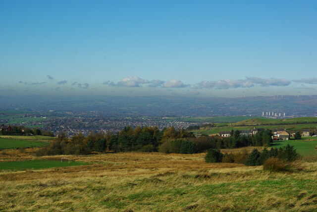
The valley is characterized by its rolling hills, lush green landscapes, and winding streams that meander through the area. It is surrounded by dense woodlands, providing a haven for wildlife and making it an ideal destination for nature lovers and outdoor enthusiasts. The scenic beauty of Lower Dingle attracts visitors seeking peace and tranquility away from the bustling cities.
The small community within Lower Dingle consists mainly of traditional stone cottages and farmhouses, reflecting the area's rural charm. The tight-knit community is known for its warm hospitality and friendly locals.
Popular activities in Lower Dingle include hiking, cycling, and horseback riding, with numerous trails and paths crisscrossing the area. The valley offers breathtaking vistas and opportunities to spot various wildlife species, such as deer, foxes, and a wide range of birdlife.
Although Lower Dingle is primarily a residential area, there are limited amenities and services available. Visitors can find a few small local businesses, including a village shop and a cozy pub, where they can enjoy a pint of locally brewed ale.
Overall, Lower Dingle, Lancashire, is a hidden gem nestled within the stunning countryside of Lancashire. Its natural beauty, friendly community, and abundance of outdoor activities make it a must-visit destination for those seeking a peaceful retreat in the heart of nature.
If you have any feedback on the listing, please let us know in the comments section below.
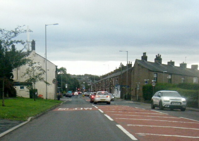
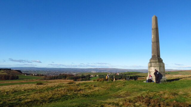
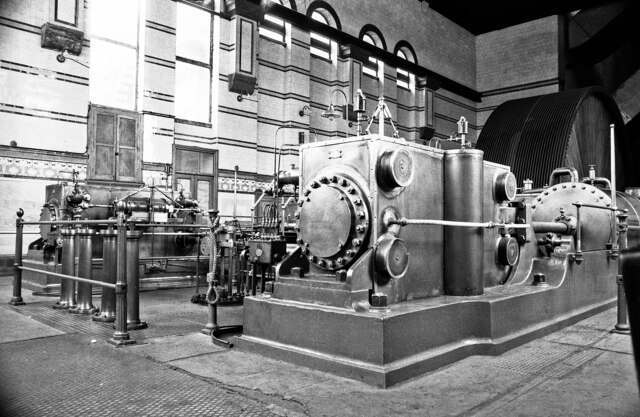
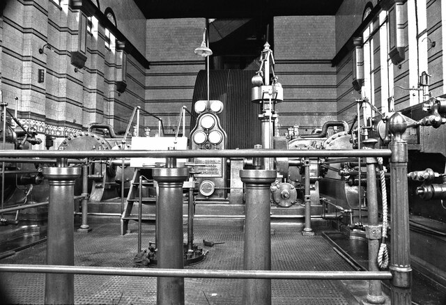
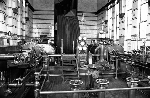
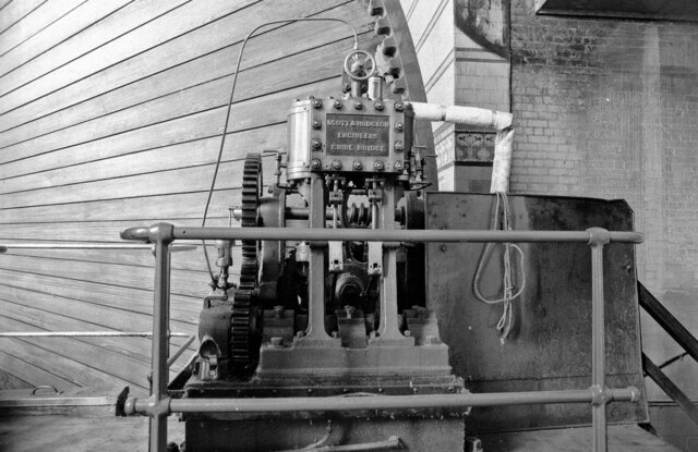
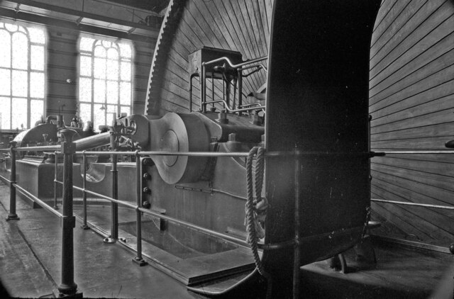
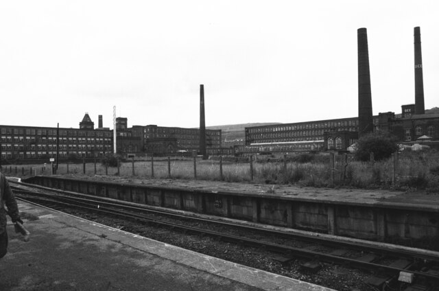
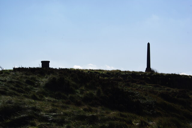
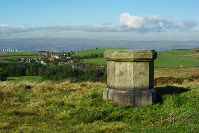
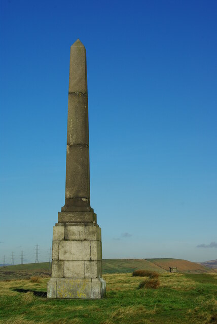
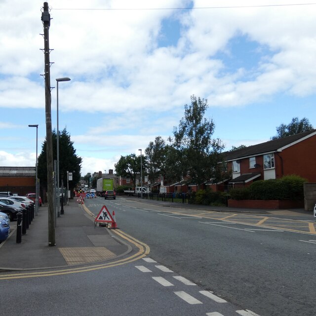
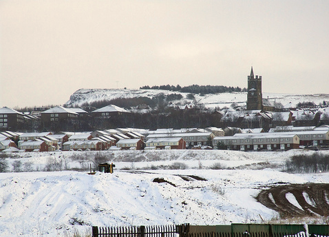
Lower Dingle Images
Images are sourced within 2km of 53.572143/-2.0774137 or Grid Reference SD9408. Thanks to Geograph Open Source API. All images are credited.

Lower Dingle is located at Grid Ref: SD9408 (Lat: 53.572143, Lng: -2.0774137)
Unitary Authority: Oldham
Police Authority: Greater Manchester
What 3 Words
///class.state.highs. Near Shaw, Manchester
Nearby Locations
Related Wikis
Sholver
Sholver is an area of Oldham, in Greater Manchester, England. An elevated, residential area, it lies near the middle of the Oldham part of the valley of...

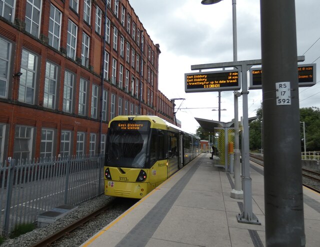
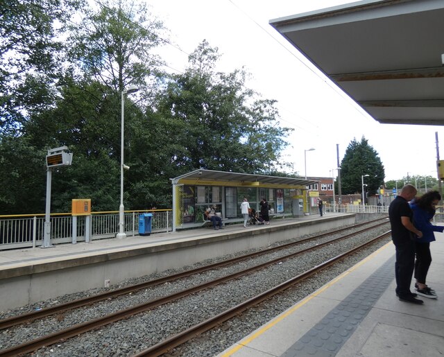
Shaw and Crompton tram stop
Shaw and Crompton is a tram stop on the Oldham and Rochdale Line (ORL) of Greater Manchester's light-rail Metrolink system. It opened to passengers on...

Shaw National Distribution Centre
Shaw National Distribution Centre (also known as Shaw NDC) was a warehouse distribution centre located in Shaw and Crompton, a town in Greater Manchester...

Dawn Mill, Shaw
Dawn Mill, Shaw was a cotton spinning mill in Shaw and Crompton, Oldham, Greater Manchester. It was built on the site of Shaw Mill at the "dawn" of the...

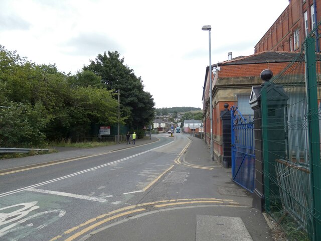
Shaw and Crompton
Shaw and Crompton is a civil parish in the Metropolitan Borough of Oldham, Greater Manchester, England, and lies on the River Beal at the foothills of...

Newby Mill, Shaw
Elm Mill, was a four-storey cotton spinning mill in Shaw and Crompton, Greater Manchester, England. It was built in 1890 for the Elm Spinning Company Ltd...
Rutland Mill
Rutland Mill was a cotton spinning mill on Linney Lane, in Shaw and Crompton, Greater Manchester, England. It was built by F. W. Dixon & Son in 1907 for...
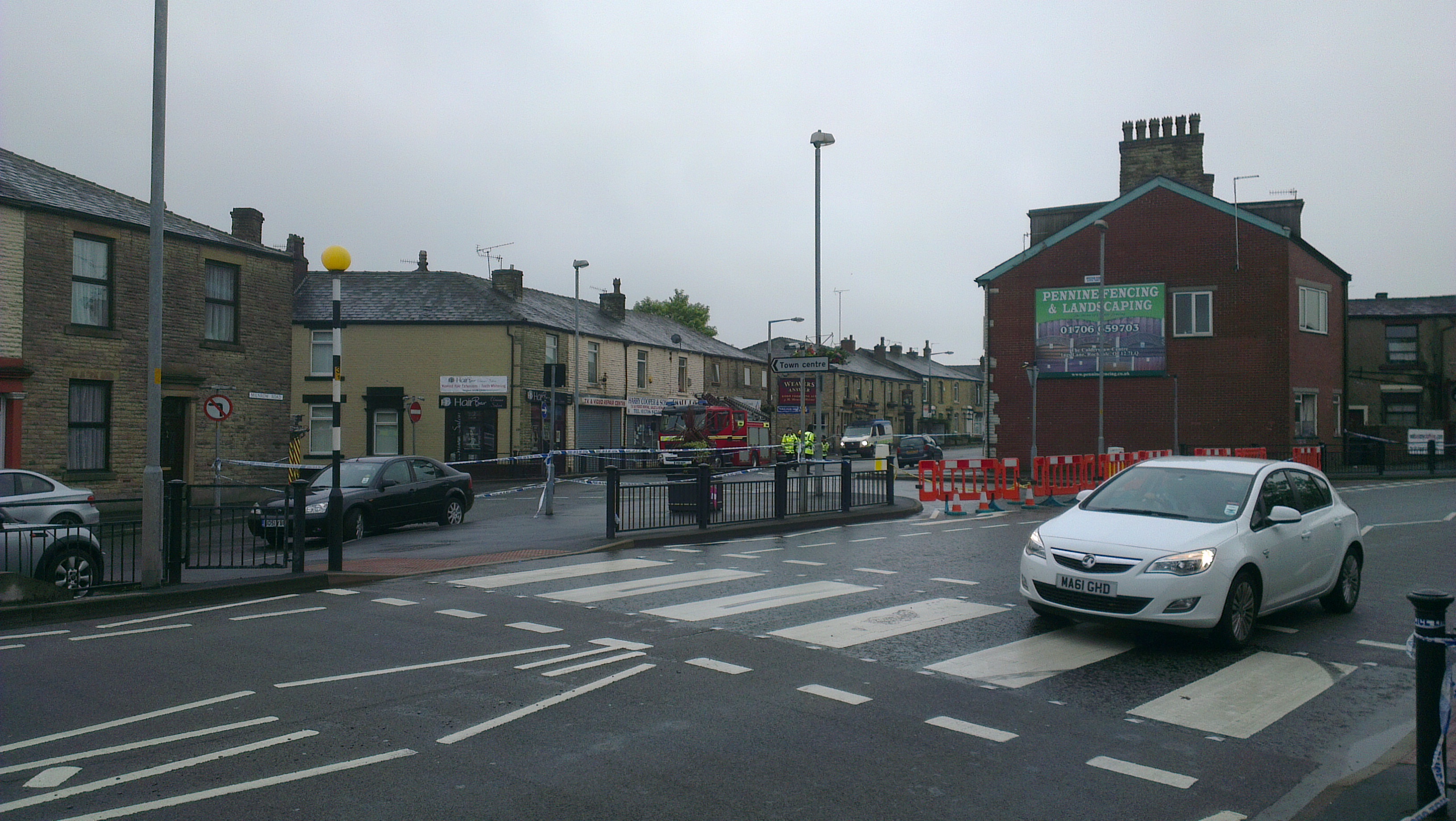
2012 Oldham explosion
The 2012 Oldham explosion occurred on 26 June 2012. A house on Buckley Street in Shaw, a town in the Metropolitan Borough of Oldham, England exploded...
Nearby Amenities
Located within 500m of 53.572143,-2.0774137Have you been to Lower Dingle?
Leave your review of Lower Dingle below (or comments, questions and feedback).