Glead's Cleugh
Valley in Northumberland
England
Glead's Cleugh
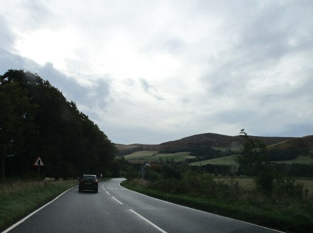
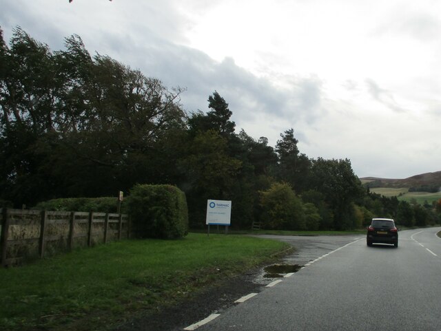
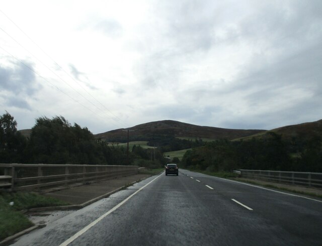
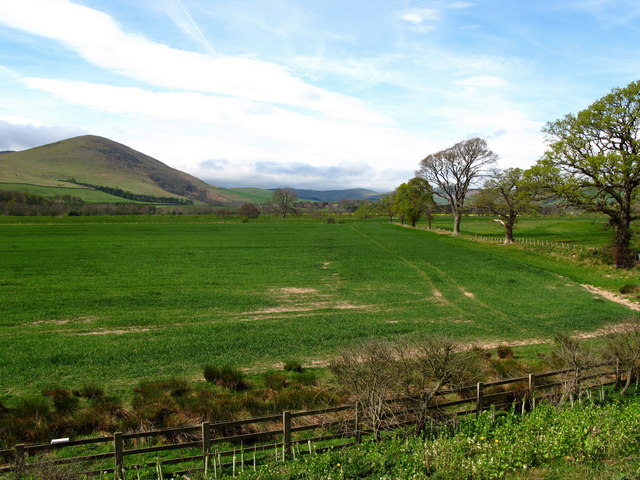
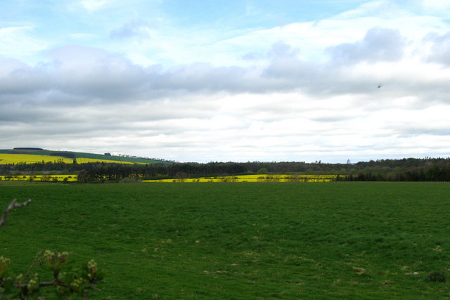
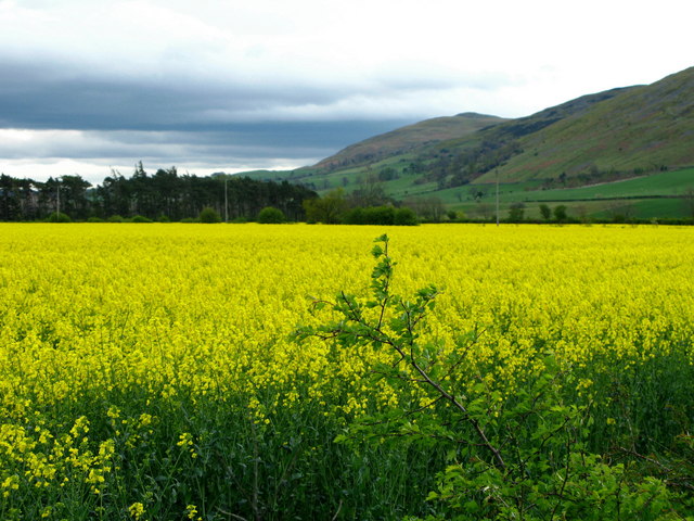
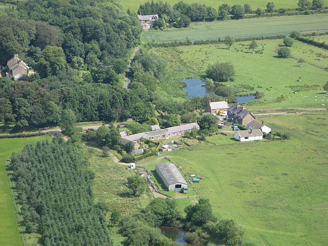
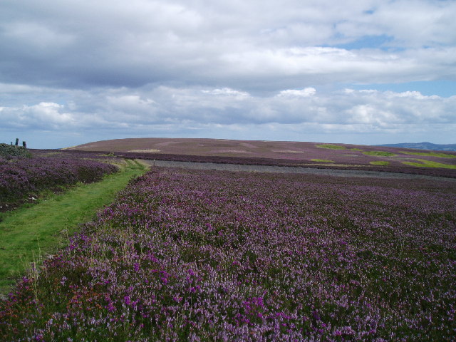
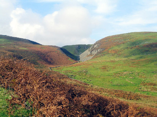
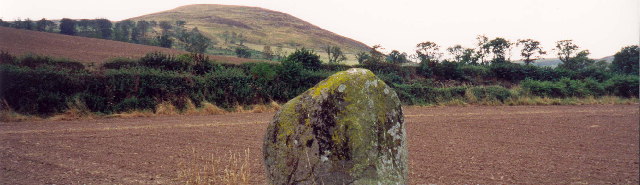
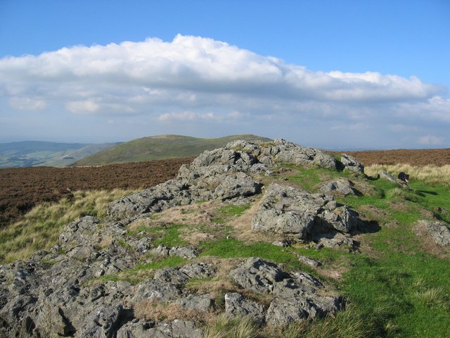
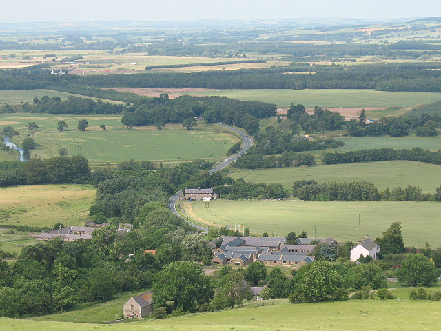
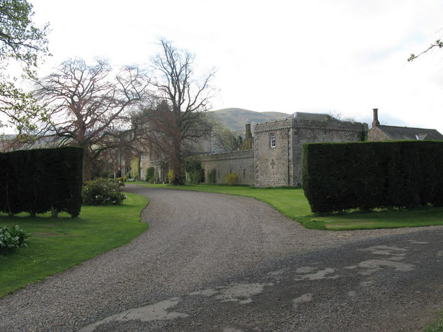
Glead's Cleugh is a picturesque valley located in Northumberland, England. Situated in the northern part of the county, Glead's Cleugh is known for its stunning natural beauty and tranquil atmosphere. The valley is nestled between rolling hills and is surrounded by lush greenery, making it an idyllic destination for nature lovers and outdoor enthusiasts.
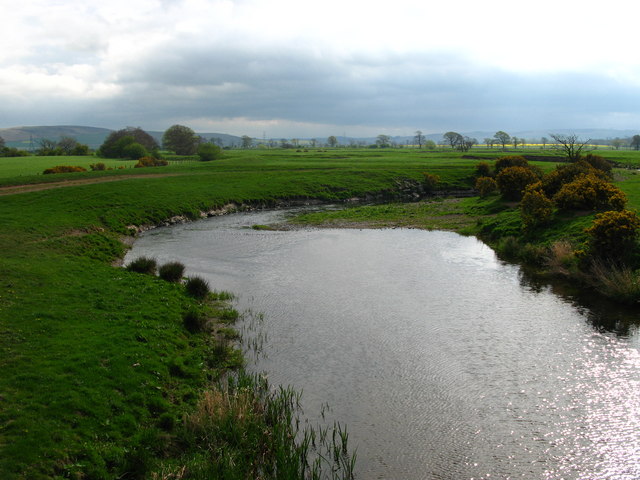
The cleugh, or valley, is carved out by the Glead's Burn, a small river that meanders through the landscape. The river adds to the charm of the area, providing a peaceful soundtrack as it gently flows along its course. The crystal-clear waters of the Glead's Burn are also home to a variety of wildlife, including trout and other freshwater species.
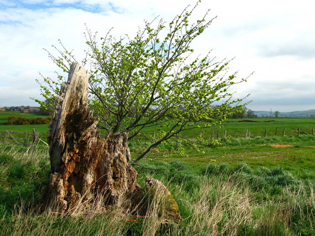
Glead's Cleugh offers several walking trails and hiking routes, allowing visitors to explore the area and take in the breathtaking views. The paths wind through the valley, offering glimpses of cascading waterfalls, ancient woodland, and vibrant wildflowers. Along the way, walkers may also spot a range of bird species, such as woodpeckers and owls, which call this valley their home.
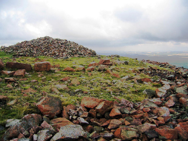
In addition to its natural beauty, Glead's Cleugh is rich in history. The valley is dotted with remnants of old lead mining operations, which were once a significant industry in the area. These historical sites provide a fascinating insight into the region's industrial past and offer a glimpse into the lives of the miners who worked here.
Overall, Glead's Cleugh is a hidden gem in Northumberland, offering visitors a chance to escape the hustle and bustle of everyday life and immerse themselves in the tranquility of nature. Whether exploring the walking trails, admiring the wildlife, or delving into the valley's history, Glead's Cleugh has something to offer for everyone.
If you have any feedback on the listing, please let us know in the comments section below.
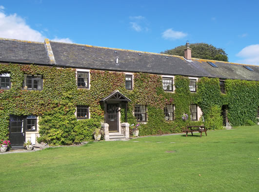
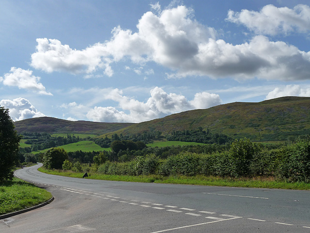
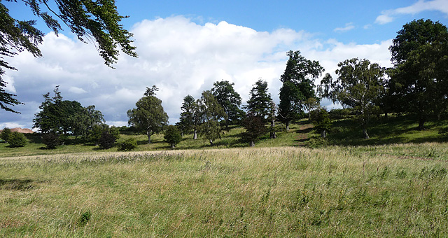
Glead's Cleugh Images
Images are sourced within 2km of 55.554755/-2.0832577 or Grid Reference NT9429. Thanks to Geograph Open Source API. All images are credited.

Glead's Cleugh is located at Grid Ref: NT9429 (Lat: 55.554755, Lng: -2.0832577)
Unitary Authority: Northumberland
Police Authority: Northumbria
What 3 Words
///imprints.shrug.surprised. Near Kirknewton, Northumberland
Nearby Locations
Related Wikis
Akeld
Akeld is a village and civil parish in Northumberland, England. It is situated around 2.7 miles (4.3 km) to the west of Wooler and 9.3 miles (15.0 km)...

Akeld railway station
Akeld was a stone built railway station serving the hamlet of Akeld in Northumberland, England. It was on the Alnwick to Cornhill Branch which ran from...

Yeavering
Yeavering () is a hamlet in the north-east corner of the civil parish of Kirknewton in the English county of Northumberland. It is located on the River...

Yeavering Bell
Yeavering Bell is a twin-peaked hill near the River Glen in north Northumberland, England, to the west of Wooler, and forming part of the Cheviot Hills...

Humbleton Hill
Humbleton Hill is a hill in Northumberland, England, about 1.5 miles (2.4 km) west of Wooler. It is the location of the Battle of Homildon Hill of 1402...
Battle of Homildon Hill
The Battle of Holmedon Hill or Battle of Homildon Hill was a conflict between English and Scottish armies on 14 September 1402 in Northumberland, England...
Battle of Yeavering
The Battle of Yeavering (or Battle of Geteryne) was fought in 1415 between English and Scottish forces near Yeavering in Northumberland. A small English...
Coupland Castle
Coupland Castle is situated in the village of Coupland, 4 miles (6 km) to the north-west of Wooler, Northumberland, England. It is a Grade I listed building...
Nearby Amenities
Located within 500m of 55.554755,-2.0832577Have you been to Glead's Cleugh?
Leave your review of Glead's Cleugh below (or comments, questions and feedback).