Stack Hill Scar

Valley in Lancashire Pendle

England

Stack Hill Scar

Wooden bridge . Crossing over Turnhole Clough.
Wooden bridge . Credit: Stephen Shaw

Stack Hill Scar is a prominent geological feature located in the county of Lancashire, England. Situated in the region known as the Ribble Valley, Stack Hill Scar is a stunning valley that stretches for approximately 2 miles. The scar is characterized by steep, rocky slopes and a deep, narrow gorge carved out by the River Ribble over millions of years.

The valley is flanked by high cliffs on either side, reaching heights of up to 300 feet in some places. These cliffs are composed of layers of sedimentary rock, predominantly sandstone and shale, which showcase a variety of colors and textures. The exposed rock formations provide a glimpse into the area's geological history, with evidence of ancient sea beds and the effects of glacial erosion.

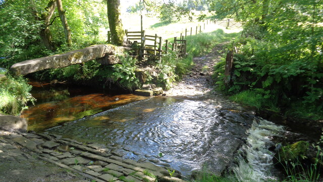
The River Ribble flows through the valley, meandering its way through the scar and adding to its natural beauty. The river's presence has contributed to the formation of small waterfalls and rapids, creating a dynamic and picturesque landscape.

Stack Hill Scar is home to a diverse range of flora and fauna, with woodlands, wildflower meadows, and grassy slopes providing habitats for various plant and animal species. Visitors to the area can expect to see a variety of bird species, including peregrine falcons, as well as deer, foxes, and other wildlife.

The scar has become a popular destination for outdoor enthusiasts and nature lovers, offering opportunities for hiking, birdwatching, and photography. Its breathtaking vistas and tranquil atmosphere make Stack Hill Scar an enchanting location to explore and appreciate Lancashire's natural beauty.

If you have any feedback on the listing, please let us know in the comments section below.

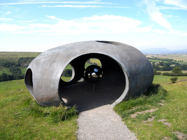
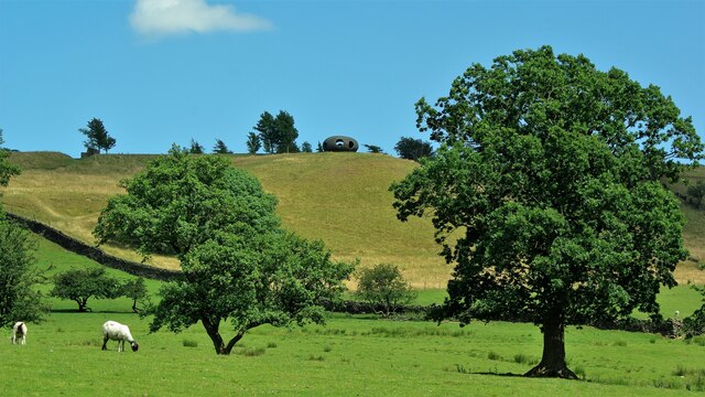
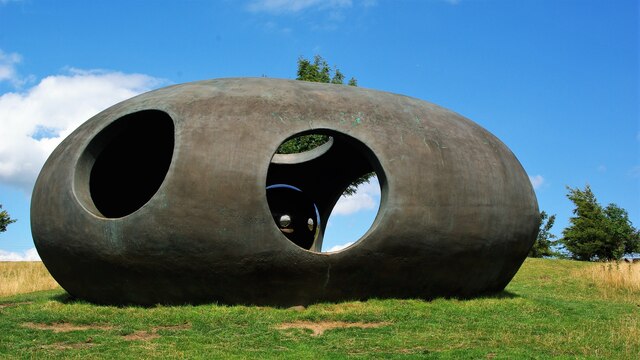
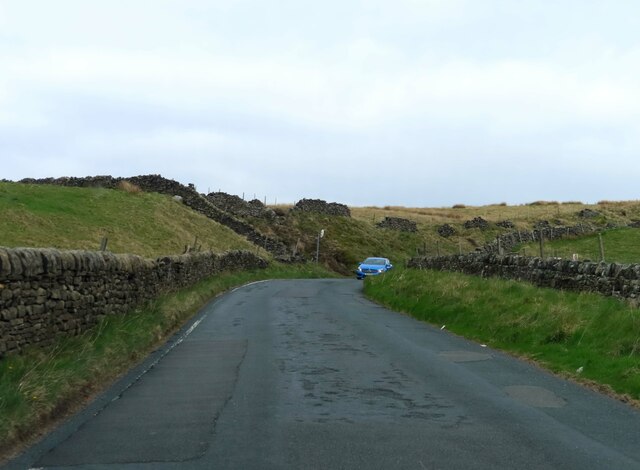
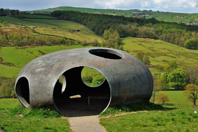
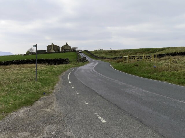
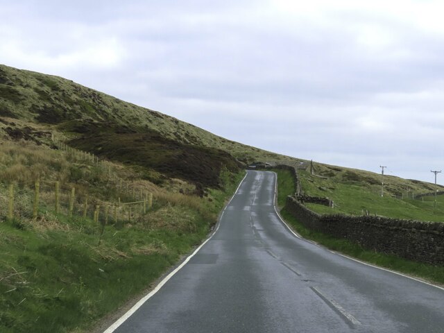
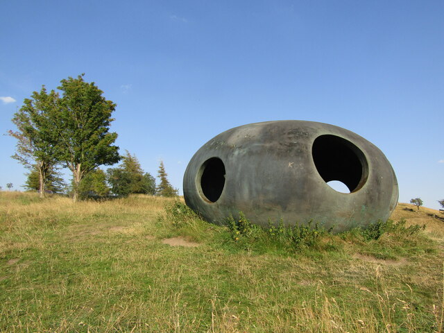
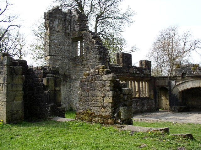
Stack Hill Scar Images

Images are sourced within 2km of 53.832465/-2.0907944 or Grid Reference SD9437. Thanks to Geograph Open Source API. All images are credited.

Wooden bridge . Crossing over Turnhole Clough.
Wooden bridge .
Crossing over Turnhole Clough.
"The Atom", Wycoller Country Park Panopticons (2003 – 2007) was a unique creative project created by the East Lancashire Environmental Arts Network (ELEAN). 

The project was set up to erect a series of 21st-century landmarks, or Panopticons (structures providing a comprehensive view), located across East Lancashire as symbols of the renaissance of the area. 

The Panopticons are a unique series of 21st century landmarks, designed to attract visitors into the countryside to enjoy the stunning landscapes and wealth of attractions on offer in Pennine Lancashire. Each Panopticon is situated on a high point site commanding spectacular views, and are all within easy reach of the M65 motorway.

The four structures are: Atom near Wycoller <a href="https://www.geograph.org.uk/photo/2537477">SD9339 : The Panopticon Above Wycoller</a>, Colourfields in Blackburn <a href="https://www.geograph.org.uk/photo/6603058">SD6729 : Colourfields, the Panopticon in Corporation Park</a>, Halo <a href="https://www.geograph.org.uk/photo/3353727">SD7923 : The Halo at Top o'Slate</a> at Haslingden and The Singing Ringing Tree above Burnley <a href="https://www.geograph.org.uk/photo/3346256">SD8528 : The Singing Ringing Tree above Burnley</a>.
"The Atom", Wycoller Country Park
Panopticons (2003 – 2007) was a unique creative project created by the East Lancashire Environmental Arts Network (ELEAN). The project was set up to erect a series of 21st-century landmarks, or Panopticons (structures providing a comprehensive view), located across East Lancashire as symbols of the renaissance of the area. The Panopticons are a unique series of 21st century landmarks, designed to attract visitors into the countryside to enjoy the stunning landscapes and wealth of attractions on offer in Pennine Lancashire. Each Panopticon is situated on a high point site commanding spectacular views, and are all within easy reach of the M65 motorway. The four structures are: Atom near Wycoller SD9339 : The Panopticon Above Wycoller, Colourfields in Blackburn SD6729 : Colourfields, the Panopticon in Corporation Park, Halo SD7923 : The Halo at Top o'Slate at Haslingden and The Singing Ringing Tree above Burnley SD8528 : The Singing Ringing Tree above Burnley.
The Atom Panoptican Viewed from the Bronte Way by Wycoller Beck
The Atom Panoptican
Viewed from the Bronte Way by Wycoller Beck
The Atom Panopticon In this view the Atom has its silvered ball reflector which subsequently went missing
The Atom Panopticon
In this view the Atom has its silvered ball reflector which subsequently went missing
Lancashire Moor Road heading towards Haworth
The Atom Panopticon One of East Lacashire's Panopticons. The silvered ball inside the Atom was now missing.
The Atom Panopticon
One of East Lacashire's Panopticons. The silvered ball inside the Atom was now missing.
Looking up Lancashire Moor Road towards Laneshawbridge
Looking down to Smithy Clough
Looking over the wall to Coombe House
Lancashire Moor Road up to Near Combe Hill Cross
Ancient Clam Bridge With the ford across Wycoller Beck
Ancient Clam Bridge
With the ford across Wycoller Beck
Wycoller Country Park - The Atom The modern atom panopticon is a shelter and viewpoint for the Wycoller Valley and Pendle Hill.
<span class="nowrap"><a title="www.visitpendle.com" rel="nofollow ugc noopener" href="http://www.visitpendle.com">Link</a><img style="margin-left:2px;" alt="External link" title="External link - shift click to open in new window" src="https://s1.geograph.org.uk/img/external.png" width="10" height="10"/></span>
Wycoller Country Park - The Atom
The modern atom panopticon is a shelter and viewpoint for the Wycoller Valley and Pendle Hill. LinkExternal link
Wycoller Country Park View of the Wycoller hillside from the Atom Panopticon sculpture.
Wycoller Country Park
View of the Wycoller hillside from the Atom Panopticon sculpture.
Clam Bridge, Wycoller Clam Bridge next to the Ford along the path from the village
Clam Bridge, Wycoller
Clam Bridge next to the Ford along the path from the village
Turnhole Clough Looking upstream from the Pendle Way / Bronte Way bridge.
Turnhole Clough
Looking upstream from the Pendle Way / Bronte Way bridge.
Boundary stone near Brink Ends Engraved JW Junr
Boundary stone near Brink Ends
Engraved JW Junr
Bridge over Turnhole Clough This modern wooden bridge carries the Pendle Way / Bronte Way bridleway.
It appears that the crossing point used to be in the foreground.
Bridge over Turnhole Clough
This modern wooden bridge carries the Pendle Way / Bronte Way bridleway. It appears that the crossing point used to be in the foreground.
Boulsworth Dyke Farm The Pendle Way / Bronte Way bridleway passes in front of the farm.
Boulsworth Dyke Farm
The Pendle Way / Bronte Way bridleway passes in front of the farm.
Show me another place!

Stack Hill Scar is located at Grid Ref: SD9437 (Lat: 53.832465, Lng: -2.0907944)

Administrative County: Lancashire

District: Pendle

Police Authority: Lancashire

What 3 Words

///mergers.thud.sheets. Near Colne, Lancashire

Related Wikis

Wycoller

Wycoller is a village in the civil parish of Trawden Forest in Pendle, Lancashire, England. It is 3 miles (4.8 km) east of Colne, near to the junction...

Wycoller Hall

Wycoller Hall was a late sixteenth-century manor house in the village of Wycoller, Lancashire, England. The hall was the centre of a sizeable estate but...

Wycoller Beck

Wycoller Beck is a stream in Lancashire, running through Wycoller Country Park and the village of Wycoller in Pendle. It is 3.76 miles (6.05 km) long and...

Boulsworth Hill

Boulsworth Hill is a large expanse of moorland, the highest point of the South Pennines of south-eastern Lancashire, England, separating the Borough of...

Trawden Brook

Trawden Brook is a minor river in Lancashire, England. It is 3.48 miles (5.6 km) long and has a catchment area of 4.40 square miles (11.4 km2).Rising on...

Watersheddles Reservoir

Watersheddles Reservoir is an upland artificial lake in Lancashire, England. The reservoir was opened in 1877 by the Keighley Corporation Water Works,...

Trawden

Trawden is a village in the Trawden Forest parish of Pendle, at the foot of Boulsworth Hill, in Lancashire, England. The village co-operatively owns and...

Trawden Forest

Trawden Forest is a civil parish in the Pendle district of Lancashire, England. It has a population of 2,765, and contains the village of Trawden (formerly...

Have you been to Stack Hill Scar?

Leave your review of Stack Hill Scar below (or comments, questions and feedback).