Brink Ends Moor
Downs, Moorland in Lancashire Pendle
England
Brink Ends Moor

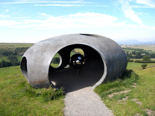
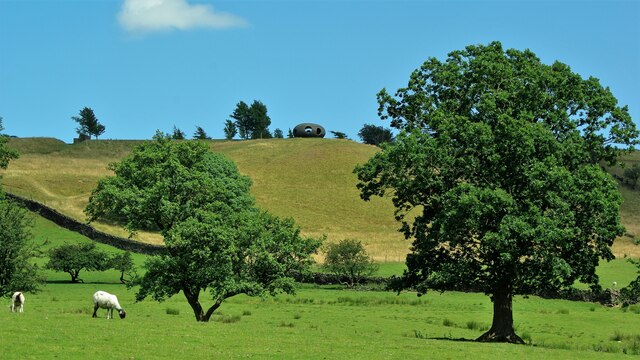
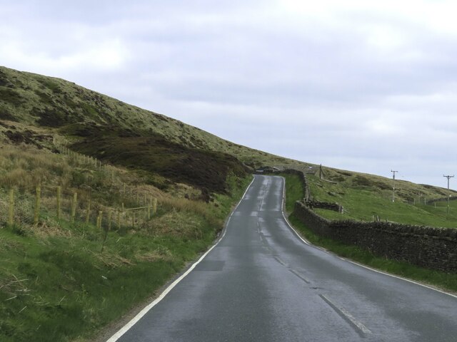
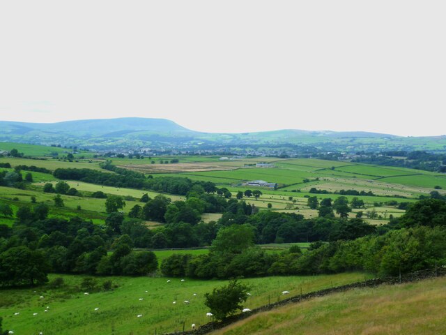
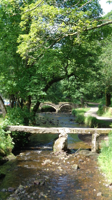
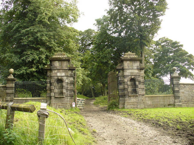
Brink Ends Moor, located in Lancashire, England, is a picturesque expanse of downs and moorland offering a diverse range of natural beauty. Spanning approximately 200 acres, it is nestled within the rolling hills of the Lancashire countryside, providing a serene escape from the hustle and bustle of urban life.
The moorland of Brink Ends Moor boasts a rich tapestry of vegetation, including heather, gorse, and bilberry, creating a vibrant and colorful landscape throughout the year. The area is known for its stunning panoramic views, with vast open spaces stretching as far as the eye can see.
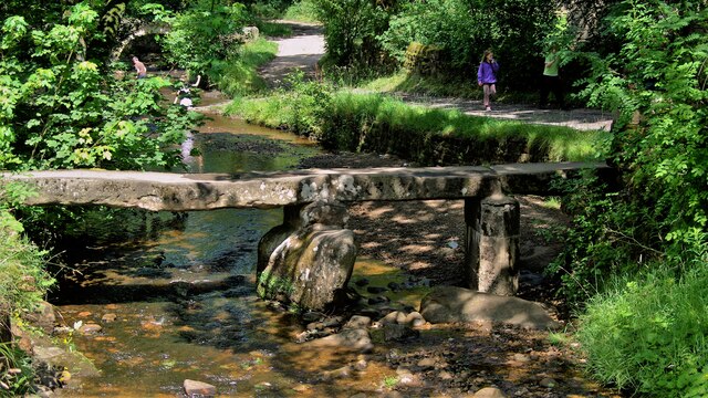
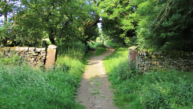
Visitors to Brink Ends Moor can enjoy leisurely walks along the numerous footpaths that crisscross the area, offering opportunities to explore the unique flora and fauna of the region. The moorland is home to a variety of bird species, such as lapwings, curlews, and skylarks, making it a haven for birdwatching enthusiasts.
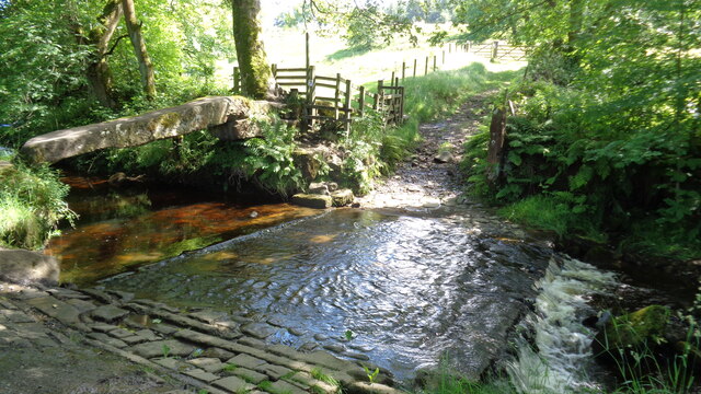
This natural haven also features several small ponds, adding to its charm and attracting a diverse range of wildlife, including frogs, newts, and dragonflies. The tranquil atmosphere of the moorland provides a perfect setting for nature lovers and photographers alike, with its ever-changing light and dramatic skies.
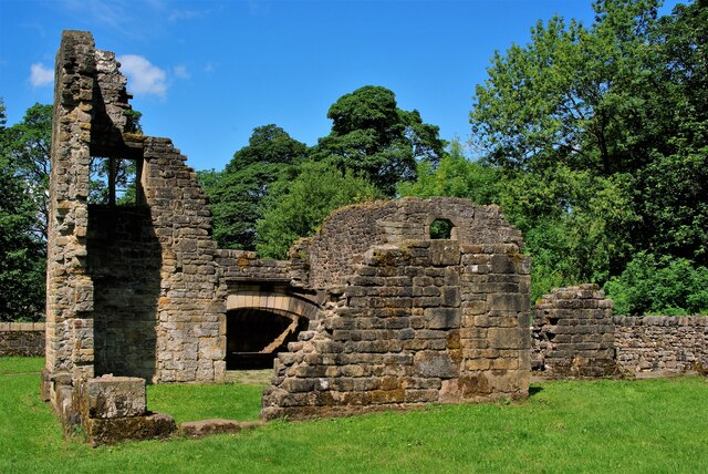
Brink Ends Moor is easily accessible, with nearby parking facilities and well-maintained paths suitable for walkers of all abilities. Its close proximity to neighboring villages and towns allows visitors to combine their visit with a taste of the local culture and cuisine. Whether seeking solitude or a chance to connect with nature, Brink Ends Moor offers a tranquil retreat for all who venture into its enchanting landscapes.
If you have any feedback on the listing, please let us know in the comments section below.
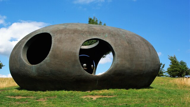
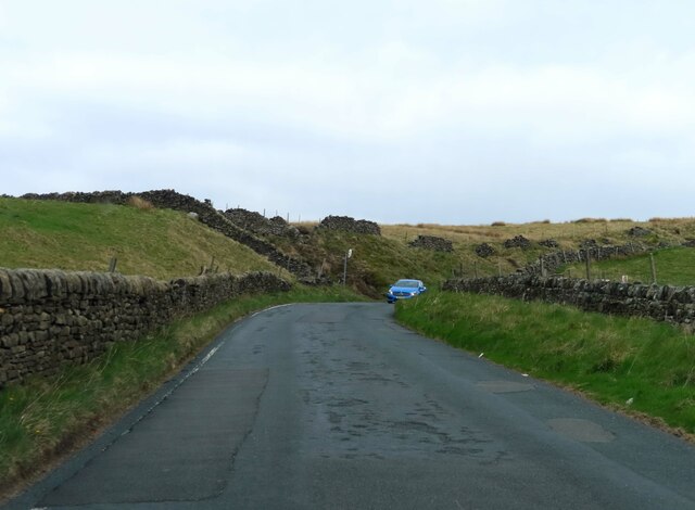
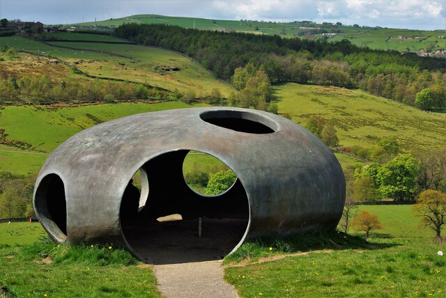
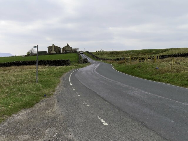
Brink Ends Moor Images
Images are sourced within 2km of 53.834526/-2.0866658 or Grid Reference SD9437. Thanks to Geograph Open Source API. All images are credited.


Brink Ends Moor is located at Grid Ref: SD9437 (Lat: 53.834526, Lng: -2.0866658)
Administrative County: Lancashire
District: Pendle
Police Authority: Lancashire
What 3 Words
///nodded.credited.startles. Near Colne, Lancashire
Nearby Locations
Related Wikis

Wycoller
Wycoller is a village in the civil parish of Trawden Forest in Pendle, Lancashire, England. It is 3 miles (4.8 km) east of Colne, near to the junction...
Wycoller Hall
Wycoller Hall was a late sixteenth-century manor house in the village of Wycoller, Lancashire, England. The hall was the centre of a sizeable estate but...

Wycoller Beck
Wycoller Beck is a stream in Lancashire, running through Wycoller Country Park and the village of Wycoller in Pendle. It is 3.76 miles (6.05 km) long and...

Watersheddles Reservoir
Watersheddles Reservoir is an upland artificial lake in Lancashire, England. The reservoir was opened in 1877 by the Keighley Corporation Water Works,...

Boulsworth Hill
Boulsworth Hill is a large expanse of moorland, the highest point of the South Pennines of south-eastern Lancashire, England, separating the Borough of...

Trawden Brook
Trawden Brook is a minor river in Lancashire, England. It is 3.48 miles (5.6 km) long and has a catchment area of 4.40 square miles (11.4 km2).Rising on...

Trawden
Trawden is a village in the Trawden Forest parish of Pendle, at the foot of Boulsworth Hill, in Lancashire, England. The village co-operatively owns and...
Emmott Hall
Emmott Hall was a country house in the village of Laneshawbridge, Colne, Lancashire, England. It stood on high ground two and a half miles east of Colne...
Have you been to Brink Ends Moor?
Leave your review of Brink Ends Moor below (or comments, questions and feedback).