Stack Hill Moor
Downs, Moorland in Lancashire Pendle
England
Stack Hill Moor

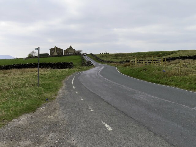
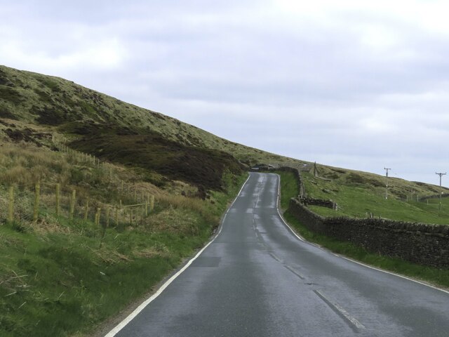
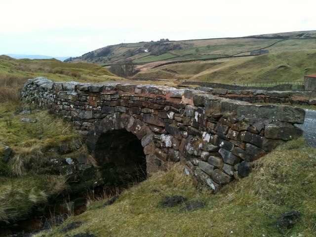
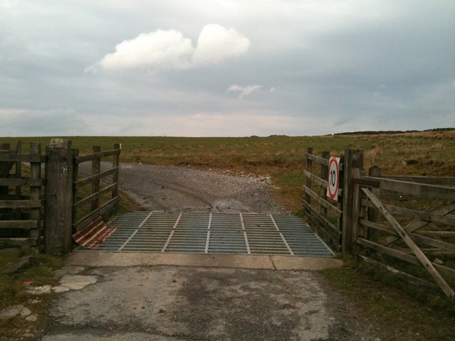
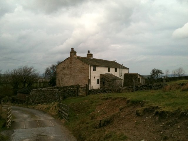
Stack Hill Moor is a vast expanse of moorland located in Lancashire, England. Spanning an area of approximately 500 acres, it is situated near the town of Bury, between the villages of Ainsworth and Walshaw. The moorland is characterized by its rolling hills, heather-covered expanses, and stunning panoramic views of the surrounding countryside.
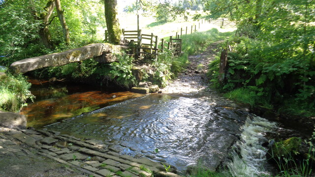
The area is predominantly composed of acidic peat soil, common in upland moorlands, supporting a diverse range of plant and animal species. The moorland is home to a variety of heather species, including ling and bell heather, which create a vibrant carpet of purple hues during the summer months. Other notable plant species found here include cotton grass, bog asphodel, and sphagnum moss.
Stack Hill Moor is also an important habitat for several bird species. It is particularly known for its populations of red grouse, which thrive in the moorland environment. Visitors may also spot other bird species such as curlews, lapwings, and meadow pipits. The moorland provides important nesting and feeding grounds for these birds, contributing to the local biodiversity.
In addition to its natural beauty and ecological importance, Stack Hill Moor offers ample opportunities for outdoor recreation. The area is crisscrossed by several footpaths, allowing visitors to explore its vast expanses and enjoy the breathtaking views. The moorland is also a popular spot for birdwatching, photography, and nature enthusiasts seeking tranquility and a connection with the natural world.
Overall, Stack Hill Moor is a captivating and ecologically significant moorland, offering a peaceful retreat for nature lovers and a home for a diverse range of plant and animal species.
If you have any feedback on the listing, please let us know in the comments section below.
Stack Hill Moor Images
Images are sourced within 2km of 53.831587/-2.0859608 or Grid Reference SD9437. Thanks to Geograph Open Source API. All images are credited.


Stack Hill Moor is located at Grid Ref: SD9437 (Lat: 53.831587, Lng: -2.0859608)
Administrative County: Lancashire
District: Pendle
Police Authority: Lancashire
What 3 Words
///majoring.blanks.lateral. Near Colne, Lancashire
Nearby Locations
Related Wikis

Boulsworth Hill
Boulsworth Hill is a large expanse of moorland, the highest point of the South Pennines of south-eastern Lancashire, England, separating the Borough of...

Wycoller
Wycoller is a village in the civil parish of Trawden Forest in Pendle, Lancashire, England. It is 3 miles (4.8 km) east of Colne, near to the junction...
Wycoller Hall
Wycoller Hall was a late sixteenth-century manor house in the village of Wycoller, Lancashire, England. The hall was the centre of a sizeable estate but...

Wycoller Beck
Wycoller Beck is a stream in Lancashire, running through Wycoller Country Park and the village of Wycoller in Pendle. It is 3.76 miles (6.05 km) long and...

Watersheddles Reservoir
Watersheddles Reservoir is an upland artificial lake in Lancashire, England. The reservoir was opened in 1877 by the Keighley Corporation Water Works,...

Trawden Brook
Trawden Brook is a minor river in Lancashire, England. It is 3.48 miles (5.6 km) long and has a catchment area of 4.40 square miles (11.4 km2).Rising on...

Trawden
Trawden is a village in the Trawden Forest parish of Pendle, at the foot of Boulsworth Hill, in Lancashire, England. The village co-operatively owns and...

Trawden Forest
Trawden Forest is a civil parish in the Pendle district of Lancashire, England. It has a population of 2,765, and contains the village of Trawden (formerly...
Have you been to Stack Hill Moor?
Leave your review of Stack Hill Moor below (or comments, questions and feedback).