Rossen Dale

Valley in Cheshire

England

Rossen Dale

Ryles Arms Pub with residential accommodation and restaurant, Hollin Lane
Ryles Arms Credit: Anthony O'Neil

Rossendale is a district located in Lancashire, England, near the southern border with Greater Manchester. It is composed of several towns and villages, including the town of Rawtenstall and the villages of Bacup, Haslingden, and Waterfoot. Rossendale is situated in a valley surrounded by the Pennines, a range of hills and mountains that provide a picturesque backdrop to the area.

The district is known for its rich industrial heritage, particularly in the textile industry. In the 19th century, Rossendale was a prominent center for cotton spinning and weaving, with numerous mills dotting the landscape. Today, many of these mills have been converted into residential or commercial properties, adding to the district's unique character.

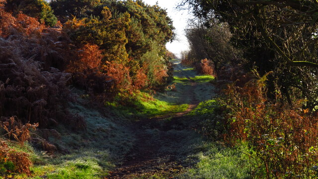
Rossendale offers a wide range of recreational activities and attractions for both residents and visitors. The area is home to several parks and nature reserves, including the stunning Rossendale Valley, where visitors can enjoy walking, cycling, and picnicking while taking in the beautiful scenery. The district also boasts a number of cultural and historical sites, such as the Whitaker Museum and Art Gallery, which showcases local art and history.

In terms of amenities, Rossendale has a good selection of shops, restaurants, and pubs, providing residents with everything they need for day-to-day living. The district also benefits from excellent transport links, with easy access to nearby cities such as Manchester and Blackburn via road and rail.

Overall, Rossendale is a charming district with a rich industrial history, stunning natural surroundings, and a range of recreational activities to suit all tastes.

If you have any feedback on the listing, please let us know in the comments section below.

Rossen Dale Images

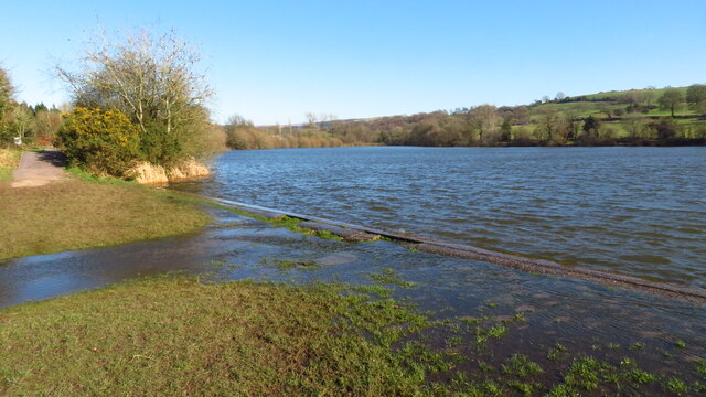
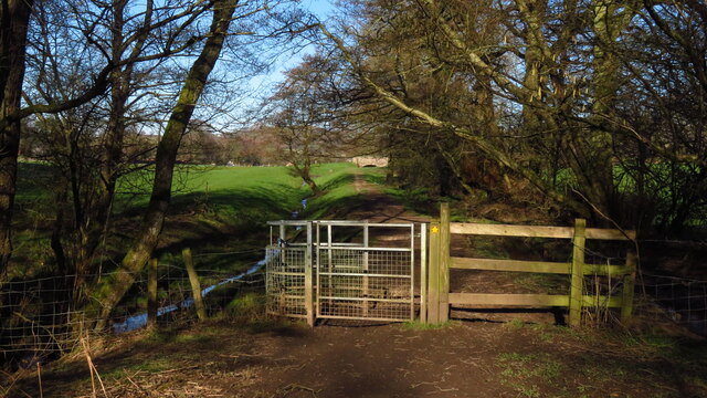
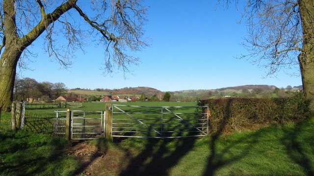
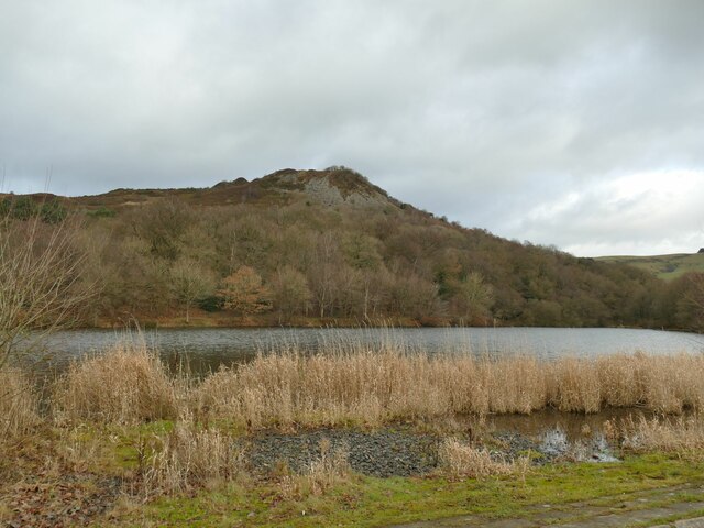
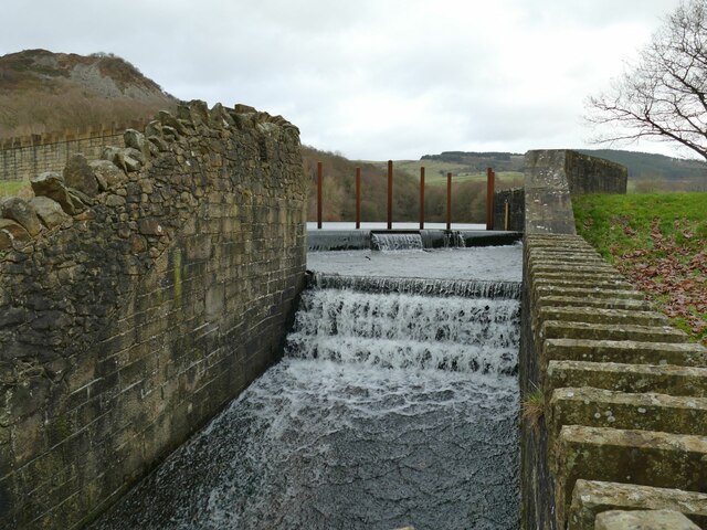
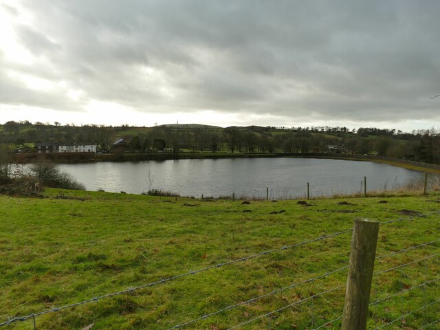
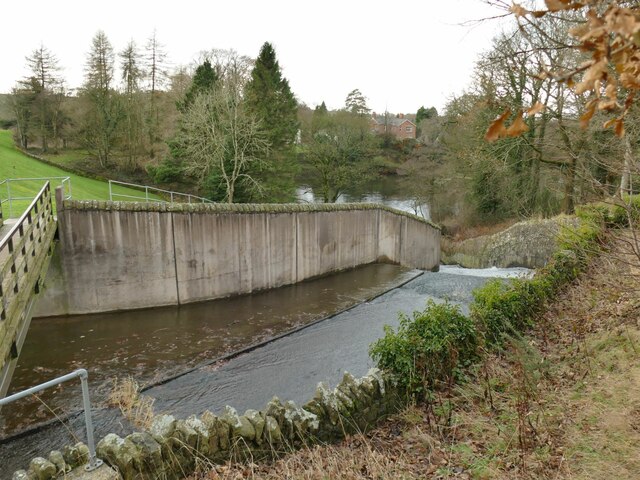
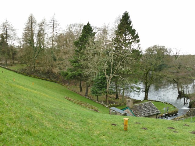
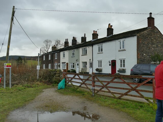
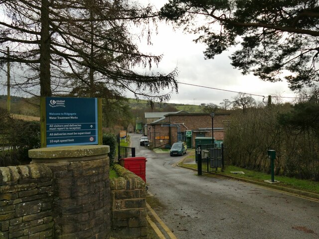
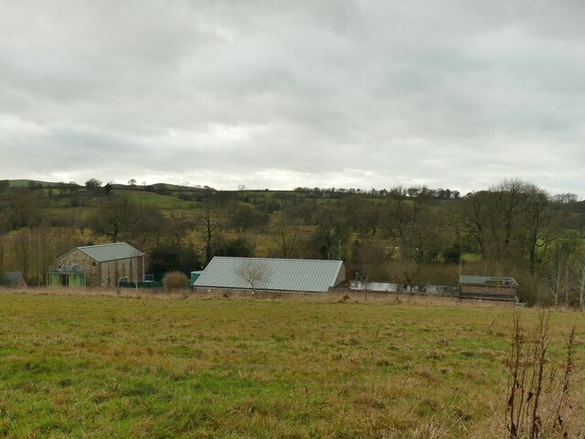
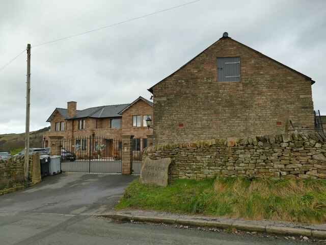
Images are sourced within 2km of 53.229375/-2.0988573 or Grid Reference SJ9370. Thanks to Geograph Open Source API. All images are credited.

Ryles Arms Pub with residential accommodation and restaurant, Hollin Lane
Ryles Arms
Pub with residential accommodation and restaurant, Hollin Lane
Snowy valley below Sutton Reservoir
Following the Gritstone Trail northeast of Higher Sutton
The Macclesfield Canal - at Oakgrove
Sutton Reservoir - Sutton Lane Ends - overflow
Kissing gate on path between Sutton Reservoir & Symondley Rd, Sutton Lane Ends
Field path leading north towards Symondley Rd, Sutton Lane Ends
St James's Church, Sutton Lane Ends
Slipway, Teggsnose Reservoir Somewhat clogged with reeds and gravel, but this appears to have been built as a shallow slipway for boats.
Slipway, Teggsnose Reservoir
Somewhat clogged with reeds and gravel, but this appears to have been built as a shallow slipway for boats.
Overflow, Teggsnose Reservoir The country park's website explains that the reservoir was constructed in 1871 to supply water to factories in nearby Langley Village. The 1897 OS map tells a slightly different story as what was then called Teggsnosewood Reservoir is labelled as belonging to Macclesfield Corporation Water Works, suggesting that it was built mainly for public supply. There is a slightly unusual arrangement with this and the adjacent Bottoms Reservoir discharging their overflows into a combined, small reservoir or stilling basin.
Overflow, Teggsnose Reservoir
The country park's website explains that the reservoir was constructed in 1871 to supply water to factories in nearby Langley Village. The 1897 OS map tells a slightly different story as what was then called Teggsnosewood Reservoir is labelled as belonging to Macclesfield Corporation Water Works, suggesting that it was built mainly for public supply. There is a slightly unusual arrangement with this and the adjacent Bottoms Reservoir discharging their overflows into a combined, small reservoir or stilling basin.
Bottoms Reservoir The country park's website explains that the reservoir was constructed in 1850 to supply water to factories in nearby Langley Village. The 1897 OS map tells a slightly different story as it is labelled as belonging to Macclesfield Corporation Water Works, suggesting that it was built mainly for public supply.
Bottoms Reservoir
The country park's website explains that the reservoir was constructed in 1850 to supply water to factories in nearby Langley Village. The 1897 OS map tells a slightly different story as it is labelled as belonging to Macclesfield Corporation Water Works, suggesting that it was built mainly for public supply.
Overflow, Bottoms Reservoir The country park's website explains that the reservoir was constructed in 1850 to supply water to factories in nearby Langley Village. The 1897 OS map tells a slightly different story as it is labelled as belonging to Macclesfield Corporation Water Works, suggesting that it was built mainly for public supply. There is a slightly unusual arrangement with this and the adjacent Bottoms Reservoir discharging their overflows into a combined, small reservoir or stilling basin.
Overflow, Bottoms Reservoir
The country park's website explains that the reservoir was constructed in 1850 to supply water to factories in nearby Langley Village. The 1897 OS map tells a slightly different story as it is labelled as belonging to Macclesfield Corporation Water Works, suggesting that it was built mainly for public supply. There is a slightly unusual arrangement with this and the adjacent Bottoms Reservoir discharging their overflows into a combined, small reservoir or stilling basin.
Valve house, Bottoms Reservoir There is a slightly unusual arrangement with this and the adjacent Bottoms Reservoir discharging their overflows into a combined, small reservoir or stilling basin, along with the compensation flow that is controlled in this building below the dam.
Valve house, Bottoms Reservoir
There is a slightly unusual arrangement with this and the adjacent Bottoms Reservoir discharging their overflows into a combined, small reservoir or stilling basin, along with the compensation flow that is controlled in this building below the dam.
Cottages on Clarke Lane, Langley  Named on a large scale map as 'Redhouses' and possibly built for the workers on the nearby reservoirs.
Cottages on Clarke Lane, Langley
Named on a large scale map as 'Redhouses' and possibly built for the workers on the nearby reservoirs.
Entrance to Ridgegate Water Treatment Works A United Utilities facility at Langley, Cheshire.
Entrance to Ridgegate Water Treatment Works
A United Utilities facility at Langley, Cheshire.
Ridgegate Water Treatment Works A United Utilities facility at Langley, Cheshire. Viewed from Clarke Lane.
Ridgegate Water Treatment Works
A United Utilities facility at Langley, Cheshire. Viewed from Clarke Lane.
High Low Farm, Clarke Lane, Langley On older maps this is a single name - Highlow Farm. So it's not the higher part of Low Farm; 'Low' as a placename element in the Peak District can confusingly refer to a hill.
High Low Farm, Clarke Lane, Langley
On older maps this is a single name - Highlow Farm. So it's not the higher part of Low Farm; 'Low' as a placename element in the Peak District can confusingly refer to a hill.
The path between The Hollins & Langley
Show me another place!

Rossen Dale is located at Grid Ref: SJ9370 (Lat: 53.229375, Lng: -2.0988573)

Unitary Authority: Cheshire East

Police Authority: Cheshire

What 3 Words

///counts.supper.calculating. Near Macclesfield, Cheshire

Related Wikis

Sutton Lane Ends

Sutton Lane Ends or Sutton is a semi-rural village and civil parish, approximately one mile south of Macclesfield. In 2020 it had an estimated population...

Langley, Cheshire

Langley is a semi-rural village in civil parish of Sutton, in the Cheshire East district, in the ceremonial county of Cheshire, England, on the River Bollin...

Langley Hall, Cheshire

Langley Hall is a country house in the village of Langley, Cheshire, England. It was built in about 1650, and is described by the authors of the Buildings...

Sutton Hall, Sutton Lane Ends

Sutton Hall is a former country house to the west of the village of Sutton Lane Ends, Cheshire, England. The present building dates from the middle of...

Have you been to Rossen Dale?

Leave your review of Rossen Dale below (or comments, questions and feedback).