Rossendale Wood
Wood, Forest in Cheshire
England
Rossendale Wood
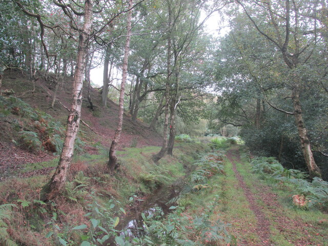
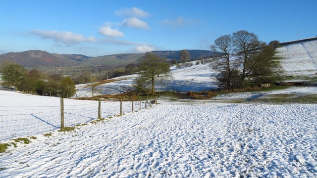
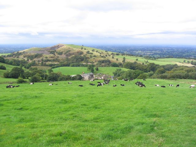
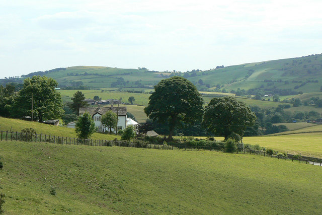
Rossendale Wood is a charming woodland area located in the county of Cheshire, England. Spanning over a vast area of approximately 50 acres, this tranquil forest is a haven for nature lovers and outdoor enthusiasts alike. The wood is situated near the village of Adlington, providing easy access for visitors from both nearby towns and cities.
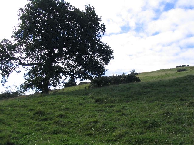
The woodland is predominantly composed of native broadleaf trees, including oak, birch, and beech, creating a diverse and lush environment. The dense vegetation, combined with the gentle babbling of the nearby river, creates a soothing atmosphere that offers a peaceful retreat from the hustle and bustle of everyday life.
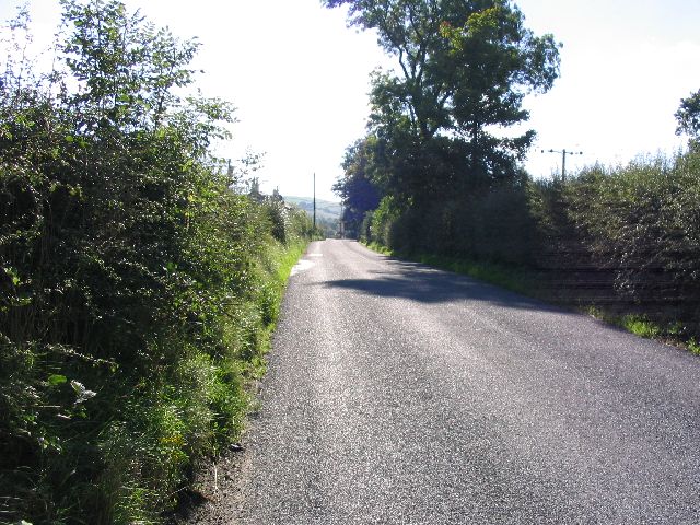
Rossendale Wood is home to a wide range of wildlife, making it an ideal spot for nature enthusiasts. Visitors can spot various bird species, such as woodpeckers, owls, and finches, as well as mammals like deer, rabbits, and foxes, which roam freely throughout the forest. The wood also features a network of well-maintained trails and footpaths, allowing visitors to explore its beauty while enjoying a leisurely walk or hike.
The wood has been carefully managed to preserve its natural beauty and ecological value. Conservation efforts have been made to maintain the balance of the ecosystem and protect the fragile habitats within the wood. Additionally, educational programs and events are often held to raise awareness about the importance of woodland conservation and promote sustainable practices.
Overall, Rossendale Wood in Cheshire offers a captivating natural escape, providing visitors with a chance to immerse themselves in the beauty of the British countryside and discover the wonders of its diverse flora and fauna.
If you have any feedback on the listing, please let us know in the comments section below.
Rossendale Wood Images
Images are sourced within 2km of 53.231666/-2.1007801 or Grid Reference SJ9370. Thanks to Geograph Open Source API. All images are credited.


Rossendale Wood is located at Grid Ref: SJ9370 (Lat: 53.231666, Lng: -2.1007801)
Unitary Authority: Cheshire East
Police Authority: Cheshire
What 3 Words
///studio.chain.intend. Near Macclesfield, Cheshire
Nearby Locations
Related Wikis

Sutton Lane Ends
Sutton Lane Ends or Sutton is a semi-rural village and civil parish, approximately one mile south of Macclesfield. In 2020 it had an estimated population...

Langley Hall, Cheshire
Langley Hall is a country house in the village of Langley, Cheshire, England. It was built in about 1650, and is described by the authors of the Buildings...

Langley, Cheshire
Langley is a semi-rural village in civil parish of Sutton, in the Cheshire East district, in the ceremonial county of Cheshire, England, on the River Bollin...

Sutton Hall, Sutton Lane Ends
Sutton Hall is a former country house to the west of the village of Sutton Lane Ends, Cheshire, England. The present building dates from the middle of...

Edgar Brothers
Edgar Brothers is a British company registered at Companies House as Ian Edgar (Liverpool) Limited. Their main business is as a firearms wholesaler.Edgar...

Moss Rose
Moss Rose, known as The Leasing.com Stadium for sponsorship reasons, is a football stadium in Macclesfield, Cheshire, England, which is the home ground...
Macclesfield F.C.
Macclesfield Football Club is an association football club based in Macclesfield, Cheshire, England. It is a phoenix club of the former Macclesfield Town...

Tegg's Nose
Tegg's Nose is a hill east of Macclesfield in Cheshire, England. It has a short ridge with a high point of 380 metres (1246 feet) at SJ947725, terminating...
Nearby Amenities
Located within 500m of 53.231666,-2.1007801Have you been to Rossendale Wood?
Leave your review of Rossendale Wood below (or comments, questions and feedback).