Pond Bottom

Valley in Dorset

England

Pond Bottom

Entrance to Archway Nursery School off A354
Entrance to Archway Nursery School off A354 Credit: Paul Barnett

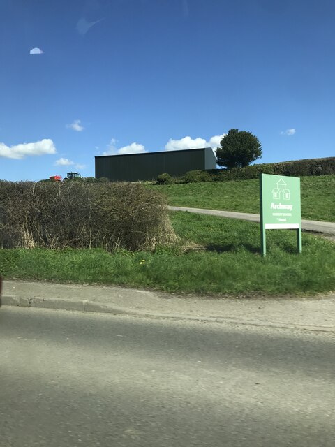
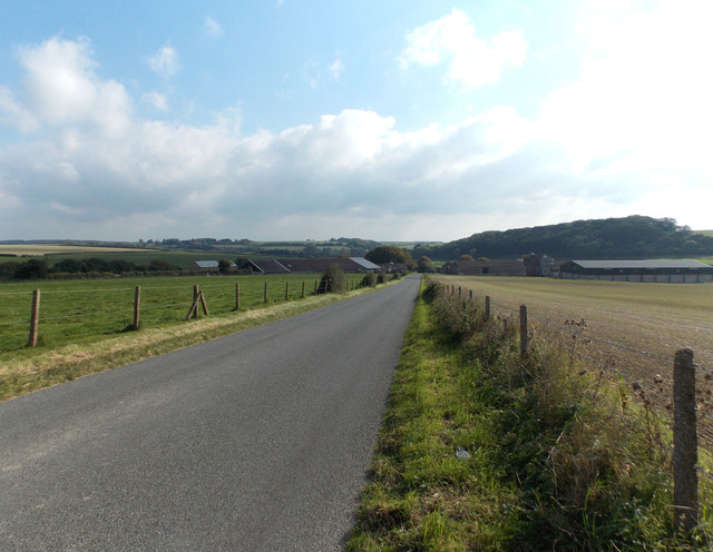
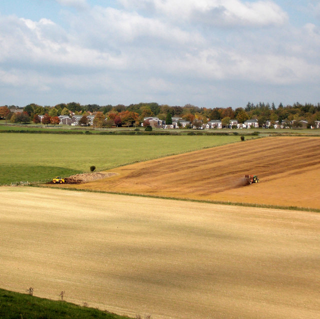
Pond Bottom is a small valley located in the county of Dorset, England. Situated in the rural countryside, it is surrounded by rolling hills and picturesque landscapes, making it an ideal destination for nature enthusiasts and those seeking tranquility away from city life.

The valley derives its name from a natural pond that is nestled within its confines. The pond is a prominent feature of Pond Bottom and serves as a habitat for various species of aquatic plants and animals. Its crystal-clear waters are a result of the constant flow from nearby springs, creating a serene and idyllic environment.

The vegetation in Pond Bottom is diverse, with an abundance of wildflowers, shrubs, and trees that flourish in the fertile soil. This rich ecosystem supports a wide range of wildlife, including various bird species, small mammals, and insects. The valley is a haven for birdwatchers, who can observe a variety of native and migratory birds in their natural habitat.

Pond Bottom is also known for its network of walking trails that wind through the valley and offer stunning views of the surrounding countryside. These paths provide an opportunity for visitors to immerse themselves in nature and explore the diverse flora and fauna that call this valley home.

While Pond Bottom is primarily a natural area, there are a few small settlements nearby that offer basic amenities such as accommodations and dining options. The valley attracts a mix of locals and tourists, who come to enjoy the peace and beauty that Pond Bottom has to offer.

If you have any feedback on the listing, please let us know in the comments section below.
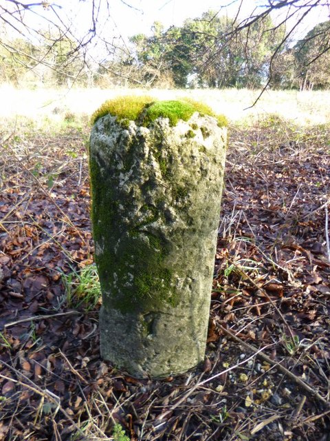
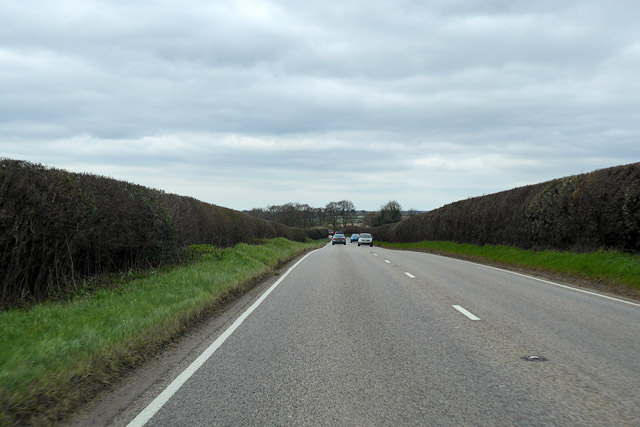
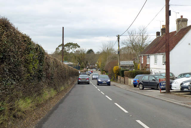
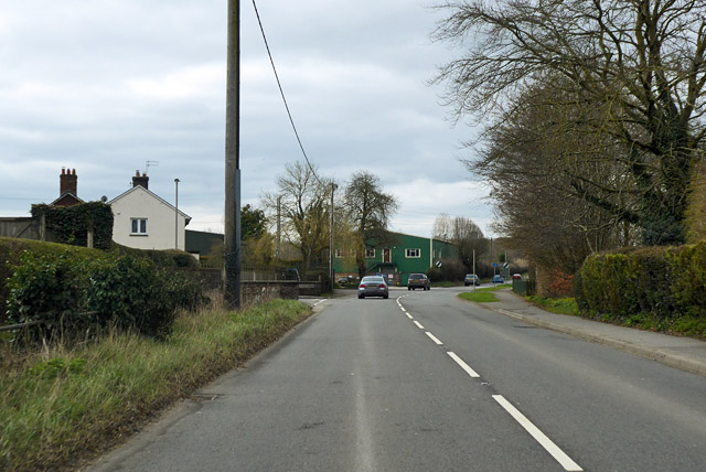
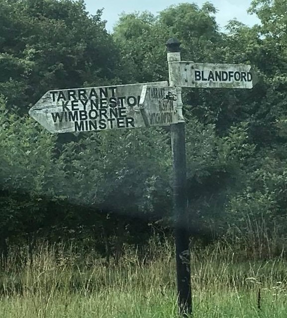
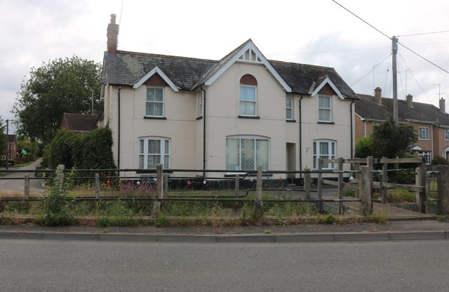
Pond Bottom Images

Images are sourced within 2km of 50.872212/-2.1106582 or Grid Reference ST9208. Thanks to Geograph Open Source API. All images are credited.

Entrance to Archway Nursery School off A354
Great Dorset Steam Fair 2015 The Swanage Railway's U class locomotive No. 31625 is winched aboard a trailer, as 1917-built McLaren general purpose engine, Cracker, passes beside.
Great Dorset Steam Fair 2015
The Swanage Railway's U class locomotive No. 31625 is winched aboard a trailer, as 1917-built McLaren general purpose engine, Cracker, passes beside.
Great Dorset Steam Fair 2015 A Holt gun carriage and replica Howitzer gun at the World War I display.
Great Dorset Steam Fair 2015
A Holt gun carriage and replica Howitzer gun at the World War I display.
Great Dorset Steam Fair 2015 A look at the heavy haulage arena, where a generator is being moved by three road locomotives.
Great Dorset Steam Fair 2015
A look at the heavy haulage arena, where a generator is being moved by three road locomotives.
Great Dorset Steam Fair 2015 Traction engines darken the sky in the Heavy Haulage Arena
Great Dorset Steam Fair 2015
Traction engines darken the sky in the Heavy Haulage Arena
Looking towards Down Barn Agricultural land around Down Barn, near Tarrant Rawston.
Looking towards Down Barn
Agricultural land around Down Barn, near Tarrant Rawston.
Muck spreading Muck spreading on Luton Down, south of Blandford Camp.
Muck spreading
Muck spreading on Luton Down, south of Blandford Camp.
Old Milestone, A354, Salisbury Road, Pimperne The milestone is located  against the brick wall on the west side of the road opposite the Yarde Farm housing development. Parish of Pimperne (North Dorset District). Carved stone post, Dorset 3 (limestone), erected by the Harnham, Blandford & Dorchester turnpike trust in the 19th century. 

Inscription reads:-
Blandford
2
Sarum
20   

Grade II Listed. List Entry Number:1324315
<span class="nowrap"><a title="https://historicengland.org.uk/listing/the-list/list-entry/1324315" rel="nofollow ugc noopener" href="https://historicengland.org.uk/listing/the-list/list-entry/1324315">Link</a><img style="margin-left:2px;" alt="External link" title="External link - shift click to open in new window" src="https://s1.geograph.org.uk/img/external.png" width="10" height="10"/></span>

Milestone Society National ID: DO_BFSA02
Old Milestone, A354, Salisbury Road, Pimperne
The milestone is located against the brick wall on the west side of the road opposite the Yarde Farm housing development. Parish of Pimperne (North Dorset District). Carved stone post, Dorset 3 (limestone), erected by the Harnham, Blandford & Dorchester turnpike trust in the 19th century. Inscription reads:- Blandford 2 Sarum 20 Grade II Listed. List Entry Number:1324315 LinkExternal link Milestone Society National ID: DO_BFSA02
Old Milestone, A354, Salisbury Road, North East of Pimperne The milestone is located 200m south west of the turning to Blandford Camp, by the roadside on the south side of road. Parish of Pimperne (North Dorset District). Carved stone post, Dorset 1 (limestone) design, erected by the Harnham, Blandford & Dorchester turnpike trust in the 19th century. 

Inscription reads:-
Blandford
3
Sarum
19  

Grade II Listed. List Entry Number: 1110836
<span class="nowrap"><a title="https://historicengland.org.uk/listing/the-list/list-entry/1110836" rel="nofollow ugc noopener" href="https://historicengland.org.uk/listing/the-list/list-entry/1110836">Link</a><img style="margin-left:2px;" alt="External link" title="External link - shift click to open in new window" src="https://s1.geograph.org.uk/img/external.png" width="10" height="10"/></span>

Milestone Society National ID: DO_BFSA03
Old Milestone, A354, Salisbury Road, North East of Pimperne
The milestone is located 200m south west of the turning to Blandford Camp, by the roadside on the south side of road. Parish of Pimperne (North Dorset District). Carved stone post, Dorset 1 (limestone) design, erected by the Harnham, Blandford & Dorchester turnpike trust in the 19th century. Inscription reads:- Blandford 3 Sarum 19 Grade II Listed. List Entry Number: 1110836 LinkExternal link Milestone Society National ID: DO_BFSA03
Old Milestone by the B3082, Keynston Down Carved stone post by the B3082, in parish of LANGTON LONG BLANDFORD (NORTH DORSET District), Keynston Down, by Golf Course opposite footpath to Keynston Down, on East side of road. Dorset 3 (limestone), erected by the Blandford & Wimborne turnpike trust in the 19th century. 

Inscription reads:-
BLANDFORD
2
WIMBORNE
7   
Carved benchmark on top of stone.

Grade II Listed. List Entry Number:1110833
<span class="nowrap"><a title="https://historicengland.org.uk/listing/the-list/list-entry/1110833" rel="nofollow ugc noopener" href="https://historicengland.org.uk/listing/the-list/list-entry/1110833">Link</a><img style="margin-left:2px;" alt="External link" title="External link - shift click to open in new window" src="https://s1.geograph.org.uk/img/external.png" width="10" height="10"/></span>

Milestone Society National ID: DO_BFWB02.
Old Milestone by the B3082, Keynston Down
Carved stone post by the B3082, in parish of LANGTON LONG BLANDFORD (NORTH DORSET District), Keynston Down, by Golf Course opposite footpath to Keynston Down, on East side of road. Dorset 3 (limestone), erected by the Blandford & Wimborne turnpike trust in the 19th century. Inscription reads:- BLANDFORD 2 WIMBORNE 7 Carved benchmark on top of stone. Grade II Listed. List Entry Number:1110833 LinkExternal link Milestone Society National ID: DO_BFWB02.
A354 towards Blandford Approaching Pimperne.
A354 towards Blandford
Approaching Pimperne.
A354, Pimperne Heading towards Blandford. Most of the village is off to the right.
A354, Pimperne
Heading towards Blandford. Most of the village is off to the right.
A354, Pimperne Ahead is one of the buildings on an industrial estate.
A354, Pimperne
Ahead is one of the buildings on an industrial estate.
Old Direction Sign - Signpost by the B3082, Wimborne Road No finial - 3 arms; by the B3082, in parish of Langton Long Blandford (North Dorset District), junction of Wimborne Road with UC road to Tarrant Rushton.

To be surveyed

Milestone Society National ID: DO_ST9106
Old Direction Sign - Signpost by the B3082, Wimborne Road
No finial - 3 arms; by the B3082, in parish of Langton Long Blandford (North Dorset District), junction of Wimborne Road with UC road to Tarrant Rushton. To be surveyed Milestone Society National ID: DO_ST9106
MA Clark Car Sales, Pimperne
House on Chapel Lane, Pimperne From Salisbury Road
House on Chapel Lane, Pimperne
From Salisbury Road
Show me another place!

Pond Bottom is located at Grid Ref: ST9208 (Lat: 50.872212, Lng: -2.1106582)

Unitary Authority: Dorset

Police Authority: Dorset

What 3 Words

///innovator.zoned.trades. Near Pimperne, Dorset

Related Wikis

Defence School of Communications and Information Systems

The Defence School of Communications and Information Systems (DSCIS) is a Defence Training Establishment of the British Ministry of Defence. It was formed...

Blandford Camp

Blandford Camp is a military base comprising some 390 hectares of downland lying 2 miles (3 km) north-east of Blandford Forum in the county of Dorset in...

Royal Signals Museum

The Royal Signals Museum is a military museum based at Blandford Camp in the civil parish of Tarrant Monkton, northwest of the town of Blandford Forum...

Pimperne Hundred

Pimperne Hundred was a hundred in the county of Dorset, England, containing the following parishes: Bryanston Durweston Fifehead Neville Hammoon Hazelbury...

Nearby Amenities

Located within 500m of 50.872212,-2.1106582
The data included in this document is from www.openstreetmap.org. The data is made available under ODbL.

Have you been to Pond Bottom?

Leave your review of Pond Bottom below (or comments, questions and feedback).