Acre Nook Clough

Valley in Lancashire

England

Acre Nook Clough

Astronomy Centre off Bacup Road The even skyline watershed extends to Freeholds Top in this view
Astronomy Centre off Bacup Road Credit: Kevin Waterhouse

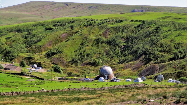
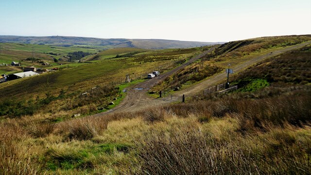
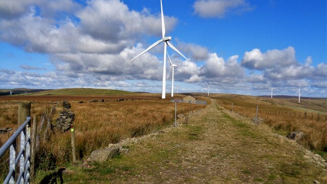
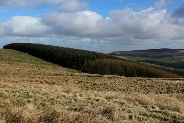
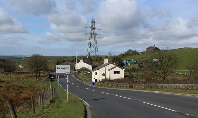
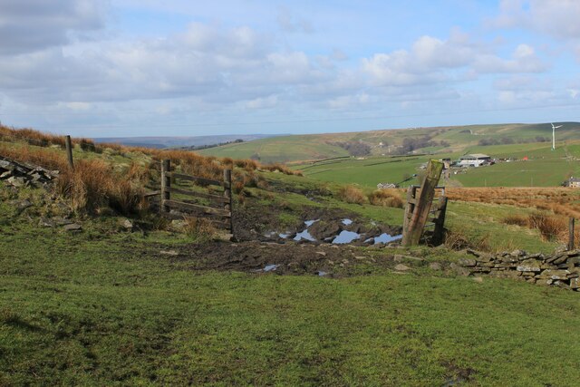
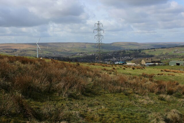
Acre Nook Clough is a picturesque valley located in Lancashire, England. Situated near the town of Bacup, it is known for its breathtaking natural beauty and tranquil atmosphere. The valley is characterized by its lush greenery, rolling hills, and meandering streams.

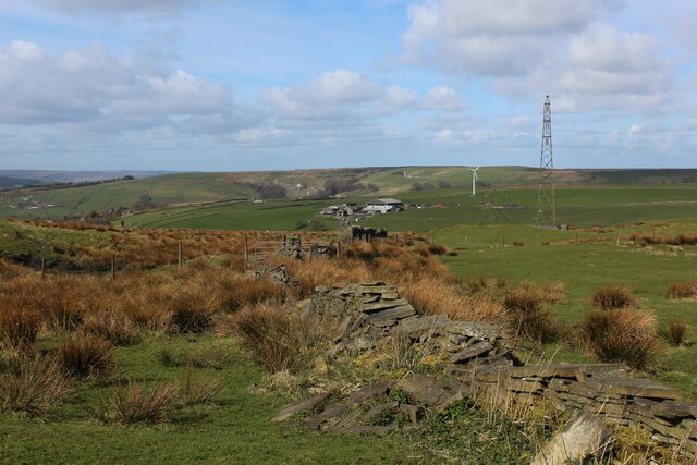
Covering an area of approximately 100 acres, Acre Nook Clough is a haven for nature enthusiasts and hikers. The valley is home to a diverse range of plant and animal species, making it an ideal spot for wildlife observation and photography. Visitors can expect to encounter birds such as kingfishers, herons, and various species of owls.

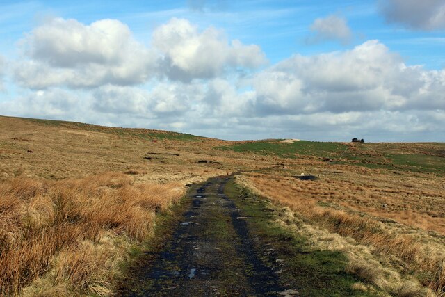
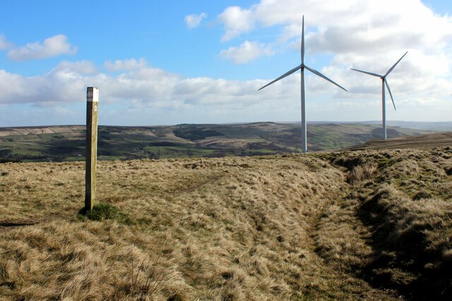
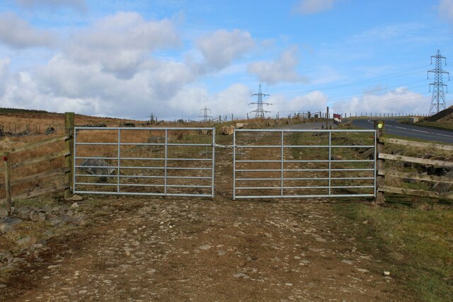
The valley is crisscrossed by a network of footpaths and trails, providing ample opportunities for walking, cycling, and horse riding. The paths lead visitors through ancient woodlands, alongside babbling brooks, and up to panoramic viewpoints. The scenic beauty of Acre Nook Clough makes it a popular destination for outdoor activities and picnics.

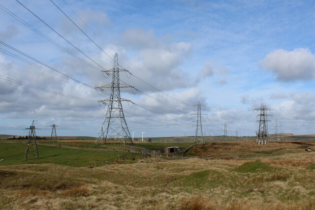
In addition to its natural wonders, Acre Nook Clough also boasts historical significance. Remnants of old mills and quarries can be found within the valley, serving as a reminder of its industrial past. The valley's rich history adds depth to its charm, offering visitors a glimpse into Lancashire's heritage.

Overall, Acre Nook Clough in Lancashire is a hidden gem that showcases the beauty of the British countryside. With its stunning landscapes, abundant wildlife, and historical landmarks, it is a must-visit destination for those seeking a peaceful retreat in nature.

If you have any feedback on the listing, please let us know in the comments section below.

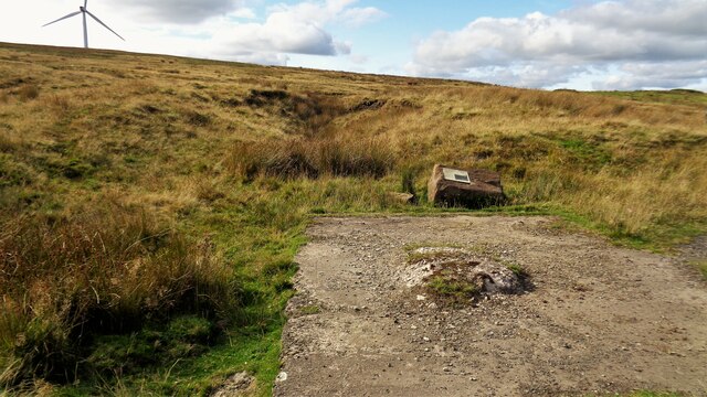
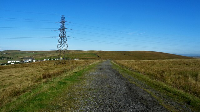
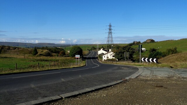
Acre Nook Clough Images

Images are sourced within 2km of 53.71446/-2.1462673 or Grid Reference SD9024. Thanks to Geograph Open Source API. All images are credited.

Astronomy Centre off Bacup Road The even skyline watershed extends to Freeholds Top in this view
Astronomy Centre off Bacup Road
The even skyline watershed extends to Freeholds Top in this view
Wind Turbine on Todmorden Moor Viewed from Flower Scar Road
Wind Turbine on Todmorden Moor
Viewed from Flower Scar Road
Boundary Marker at Sharneyford At the side of the A681
Boundary Marker at Sharneyford
At the side of the A681
Tramway course to Tower Clough Mine The former tramway track bed linking Tower Clough mine with Flower Scar Road
Tramway course to Tower Clough Mine
The former tramway track bed linking Tower Clough mine with Flower Scar Road
Former Tower Clough Mine The drift mine entrance is beyond the concrete slab which is believed to have housed ancillary equipment for the mine operation. There is an information board mounted on a rock giving a useful history
Former Tower Clough Mine
The drift mine entrance is beyond the concrete slab which is believed to have housed ancillary equipment for the mine operation. There is an information board mounted on a rock giving a useful history
Track to Hill Top Mine Old road to the last mine around the Heald Moor area
Track to Hill Top Mine
Old road to the last mine around the Heald Moor area
The A681 at the county boundary Where Bacup Road becomes Todmorden Road at Sharneyford
The A681 at the county boundary
Where Bacup Road becomes Todmorden Road at Sharneyford
Limers Gate and Wind Farm access road The junction of the gated new access road to Reaps Moss Wind Farm and the older Limers Gate. The latter has its own gate further from the junction
Limers Gate and Wind Farm access road
The junction of the gated new access road to Reaps Moss Wind Farm and the older Limers Gate. The latter has its own gate further from the junction
Reaps Moss Wind Farm access road The Rossendale Way crosses the access road at the camera position and continues north against the broken-down wall. The Rossendale Way crosses very rough unmarked ground and the access road is a far easy alternative, apart from the locked gate at its junction with Limers Gate
Reaps Moss Wind Farm access road
The Rossendale Way crosses the access road at the camera position and continues north against the broken-down wall. The Rossendale Way crosses very rough unmarked ground and the access road is a far easy alternative, apart from the locked gate at its junction with Limers Gate
Plantation on Carr and Craggs Moor
Track across Carr and Craggs Moor Heading towards the long abandoned workings of Tower Clough Coal Mine, one of a few that dot the windswept landscape, hereabouts.
An earlier contributor stated that this is an abandoned tramway trackbed.
Track across Carr and Craggs Moor
Heading towards the long abandoned workings of Tower Clough Coal Mine, one of a few that dot the windswept landscape, hereabouts. An earlier contributor stated that this is an abandoned tramway trackbed.
Footpath on Todmorden Moor Public footpath heading north east off Flower Scar Road
Footpath on Todmorden Moor
Public footpath heading north east off Flower Scar Road
Limers Gate approaching the A681 at Clough Head This section of the ancient Limers Gate is adopted by the Rossendale long distance footpath.  The track itself predates Medieval times, running between Rochdale and Clitheroe - much of it on lonely moorland
Limers Gate approaching the A681 at Clough Head
This section of the ancient Limers Gate is adopted by the Rossendale long distance footpath. The track itself predates Medieval times, running between Rochdale and Clitheroe - much of it on lonely moorland
A681 Todmorden Road on the County Boundary The county boundary between West Yorkshire and Lancashire at Clough Head.
A681 Todmorden Road on the County Boundary
The county boundary between West Yorkshire and Lancashire at Clough Head.
Assortment of Electricity Transmission Pylons at Sharneyford
Broken Stone Wall on Little Tooter Hill
Open Gateway on the Flanks of Tooter Hill
View from the Northern Flanks of Tooter Hill
Show me another place!

Acre Nook Clough is located at Grid Ref: SD9024 (Lat: 53.71446, Lng: -2.1462673)

Unitary Authority: Calderdale

Police Authority: West Yorkshire

What 3 Words

///commuted.fidelity.half. Near Cornholme, West Yorkshire

Related Wikis

Astronomy Centre

The Astronomy Centre, also known as the Amateur Astronomy Centre, is an astronomical observatory located in northern England which is run by experienced...

Portsmouth, West Yorkshire

Portsmouth is a village on the A646 road in the Calderdale district, in the county of West Yorkshire, England. Nearby settlements include the towns of...
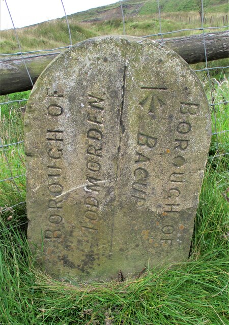
Hill Top Colliery

The Hill Top Colliery in Sharneyford between Bacup and Todmorden was, until 2014, the last coal mine still in operation in Lancashire. == Foundation... ==

Cornholme

Cornholme is a village near Todmorden, in the metropolitan borough of Calderdale, in West Yorkshire, England. It lies at the edge of Calderdale, on the...

Portsmouth (Lancs) railway station

Portsmouth railway station was on the Copy Pit line and served the village of Portsmouth, which was part of Lancashire, before being incorporated into...

Cornholme railway station

Cornholme railway station served the village of Cornholme in West Yorkshire, England on the Copy Pit line. The station was opened by the Lancashire and...

Sharneyford

Sharneyford is a hamlet in Lancashire, England, on the A681 road between Bacup and Todmorden. It is home to one of the smallest schools in Britain, Sharneyford...

Pudsey, Calderdale

Pudsey is a neighbourhood in the village of Cornholme, Calderdale, West Yorkshire, England. It is near the town of Todmorden and the A646 Burnley Road...

Nearby Amenities

Located within 500m of 53.71446,-2.1462673
Design: barrel
Power: tower
Lat/Long: 53.7104908/-2.1444701
Design: barrel
Power: tower
Lat/Long: 53.711458/-2.1475373
Design: barrel
Power: tower
Lat/Long: 53.7121871/-2.1500514
Design: barrel
Power: tower
Lat/Long: 53.7131989/-2.1534705
Bus Stop
Bacup Road Clough Foot
Bus: yes
Local Ref: 45018976
Naptan AtcoCode: 450018976
Naptan Bearing: W
Naptan CommonName: Bacup Road Clough Foot
Naptan Indicator: Stop 45018976
Naptan PlusbusZoneRef: LEEDS
Naptan ShortCommonName: South Midgelden
Naptan Street: Bacup Road
Naptan Verified: no
Public Transport: platform
Source: naptan_import
Lat/Long: 53.7107778/-2.1450386
Generator Method: wind_turbine
Generator Source: wind
Generator Type: horizontal_axis
Power: generator
Lat/Long: 53.7177834/-2.1510679
Acre Nook
Historic: ruins
Ruins: house
Lat/Long: 53.7145322/-2.1464604
The data included in this document is from www.openstreetmap.org. The data is made available under ODbL.

Have you been to Acre Nook Clough?

Leave your review of Acre Nook Clough below (or comments, questions and feedback).