Flower Scar Hill
Hill, Mountain in Lancashire
England
Flower Scar Hill
Flower Scar Hill is a prominent hill located in the county of Lancashire, England. It is part of the Pennines, a range of hills and mountains that runs through Northern England. Rising to a height of approximately 432 meters (1,417 feet), Flower Scar Hill offers breathtaking panoramic views of the surrounding countryside.
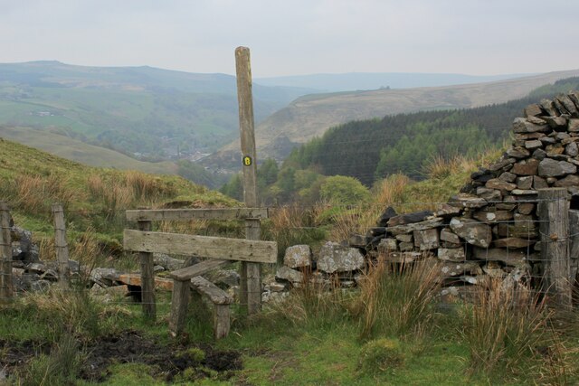
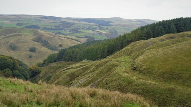
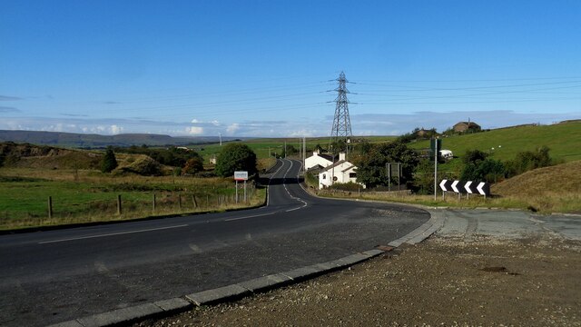
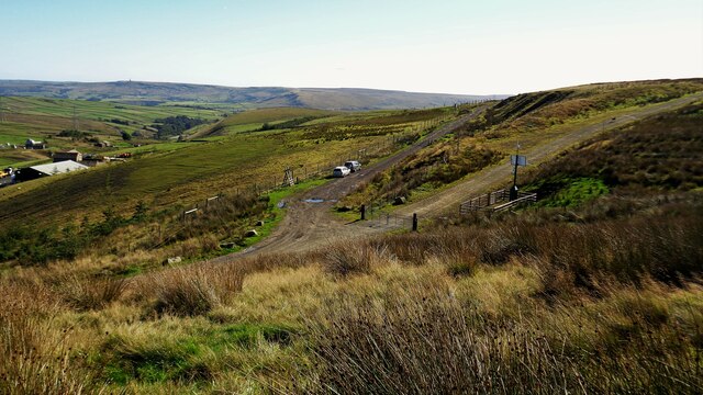
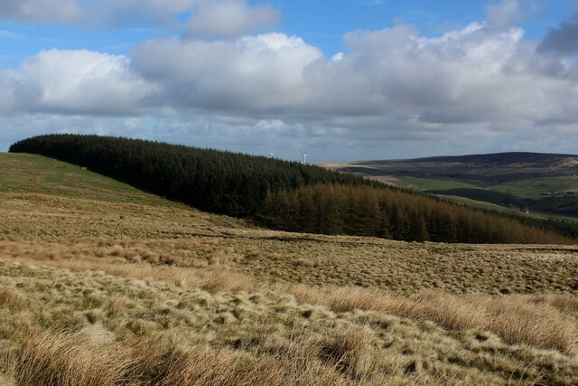
Situated near the town of Bacup, Flower Scar Hill is a popular destination for hikers and nature enthusiasts. Its distinctive shape, with a steep incline and rugged terrain, makes it a challenging but rewarding climb. The hill is also known for its diverse flora and fauna, with a variety of wildflowers and bird species found in its vicinity.
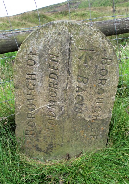
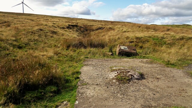
Flower Scar Hill is steeped in history and has several ancient features that add to its allure. One notable landmark is the Flower Scar Cross, a medieval stone cross located at the summit of the hill. The cross is believed to have been erected as a marker or boundary point and serves as a reminder of the hill's rich heritage.
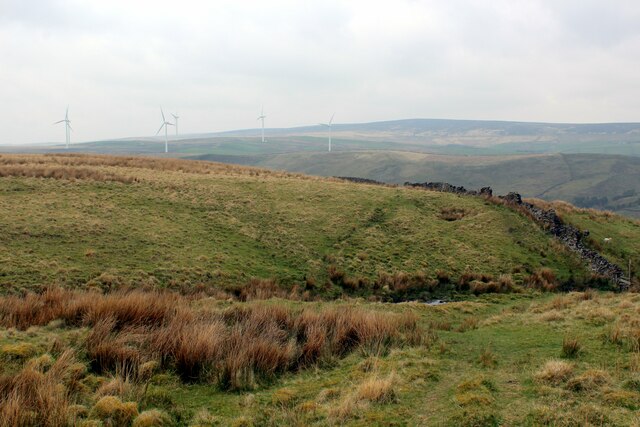
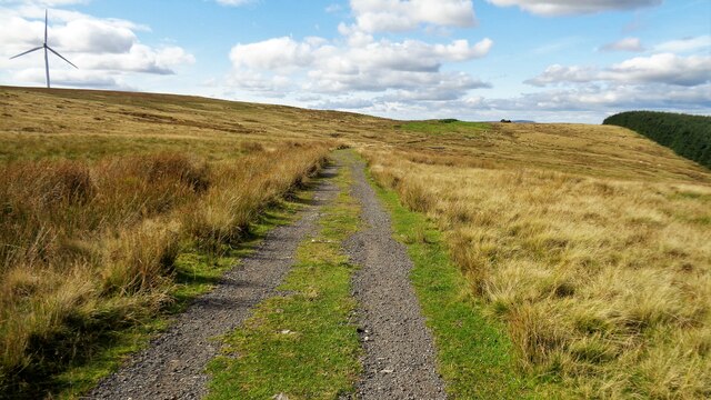
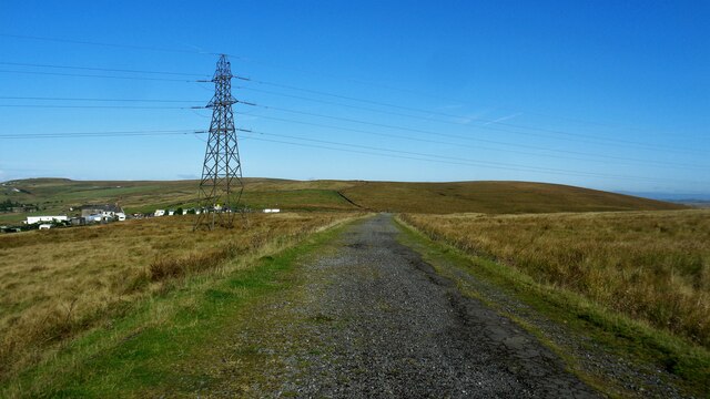
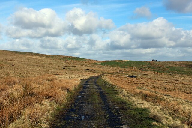
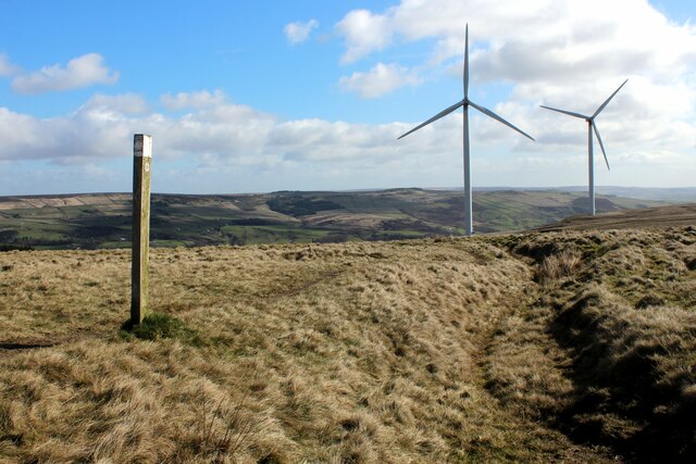
In addition to its natural beauty, Flower Scar Hill is surrounded by picturesque countryside, with rolling hills, valleys, and dales. The hill is easily accessible, with several walking routes and trails leading to its peak. It is a popular spot for outdoor activities such as hill-walking, bird-watching, and photography.
Overall, Flower Scar Hill is a remarkable natural landmark in Lancashire, offering visitors an opportunity to immerse themselves in its scenic beauty and explore its historical significance.
If you have any feedback on the listing, please let us know in the comments section below.
Flower Scar Hill Images
Images are sourced within 2km of 53.72016/-2.1451203 or Grid Reference SD9024. Thanks to Geograph Open Source API. All images are credited.


Flower Scar Hill is located at Grid Ref: SD9024 (Lat: 53.72016, Lng: -2.1451203)
Unitary Authority: Calderdale
Police Authority: West Yorkshire
What 3 Words
///guitars.pays.abandons. Near Cornholme, West Yorkshire
Nearby Locations
Related Wikis

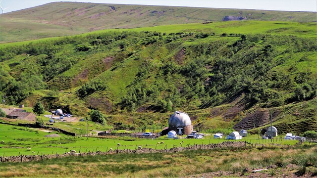
Astronomy Centre
The Astronomy Centre, also known as the Amateur Astronomy Centre, is an astronomical observatory located in northern England which is run by experienced...

Cornholme
Cornholme is a village near Todmorden, in the metropolitan borough of Calderdale, in West Yorkshire, England. It lies at the edge of Calderdale, on the...

Portsmouth, West Yorkshire
Portsmouth is a village on the A646 road in the Calderdale district, in the county of West Yorkshire, England. Nearby settlements include the towns of...
Cornholme railway station
Cornholme railway station served the village of Cornholme in West Yorkshire, England on the Copy Pit line. The station was opened by the Lancashire and...

Portsmouth (Lancs) railway station
Portsmouth railway station was on the Copy Pit line and served the village of Portsmouth, which was part of Lancashire, before being incorporated into...

Pudsey, Calderdale
Pudsey is a neighbourhood in the village of Cornholme, Calderdale, West Yorkshire, England. It is near the town of Todmorden and the A646 Burnley Road...
Hill Top Colliery
The Hill Top Colliery in Sharneyford between Bacup and Todmorden was, until 2014, the last coal mine still in operation in Lancashire. == Foundation... ==
Todmorden High School
Todmorden High School is a comprehensive school in the town of Todmorden, Calderdale LEA, West Yorkshire, England. == Admissions == Todmorden High School...
Related Videos

Stoodley Pile #short #todmorden #tourism
Great news!!
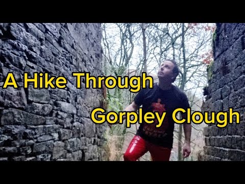
A Walk through the Woods and Waterfalls and Ruins of Gorpley Clough. Todmorden
Another of Calderdale's 'Cloughs' alongside Jumble Hole Clough and Colden Clough, Gorpley is, like those, a high wooded ...
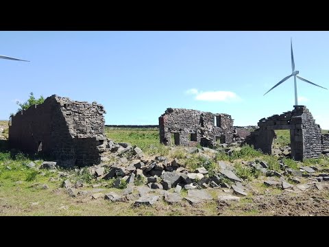
Searching for Ruins on a Hike Across The Hills of Cornholme / Cliviger. Todmorden
On the road to Burnley, leaving Cornholme, you reach Cliviger, perhaps best known for the geographical wonder of Cliviger ...
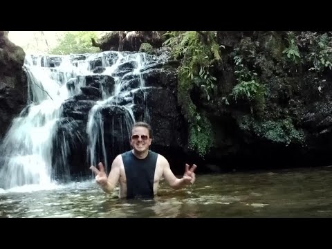
A walk through Gorpley Clough to Gorpley Reservoir. Bacup Road. Todmorden
Gorpley Clough is a beautiful wooded valley with a river running through it that, like other 'cloughs' nearby was once home to mills ...
Nearby Amenities
Located within 500m of 53.72016,-2.1451203Have you been to Flower Scar Hill?
Leave your review of Flower Scar Hill below (or comments, questions and feedback).