Back Pasture Hill
Hill, Mountain in Yorkshire Craven
England
Back Pasture Hill

Back Pasture Hill is a prominent geographical feature located in the county of Yorkshire, England. Situated in the picturesque Yorkshire Dales National Park, it is a prominent hill/mountain, offering stunning panoramic views of the surrounding countryside. With an elevation of approximately 600 meters, it stands tall and proud, attracting hikers, nature enthusiasts, and photographers alike.
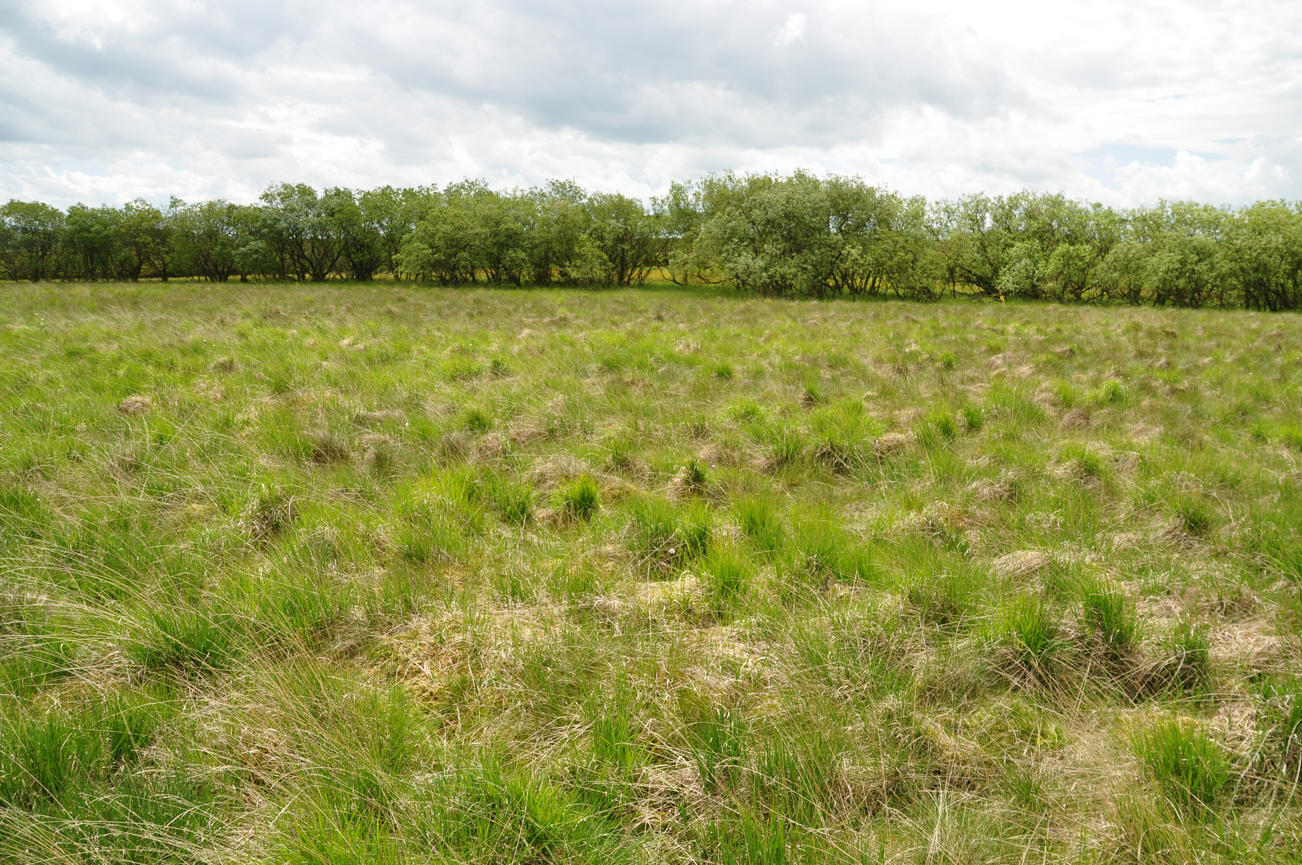
The hill is characterized by its gentle slopes, which are covered in lush green grass and interspersed with patches of heather and wildflowers. Its unique geological formation consists of layers of limestone, gritstone, and shale, showcasing the rich geological history of the region.
The summit of Back Pasture Hill provides visitors with breathtaking views of the expansive valleys, rolling hills, and quaint villages that dot the landscape below. On a clear day, one can even catch a glimpse of the distant Yorkshire coast.
The area surrounding Back Pasture Hill is home to a diverse range of flora and fauna, including rare species of birds, butterflies, and wild animals. Walkers can often spot grazing sheep and cattle, adding to the idyllic countryside ambiance.
Access to Back Pasture Hill is facilitated by well-marked footpaths and trails that wind their way up the hill, ensuring a safe and enjoyable hiking experience for all levels of fitness. Its accessibility and natural beauty make it a popular destination for both locals and tourists seeking a peaceful retreat in the heart of Yorkshire's stunning countryside.
In conclusion, Back Pasture Hill is a captivating hill/mountain located in Yorkshire, England, offering visitors a chance to immerse themselves in the natural beauty of the Yorkshire Dales National Park.
If you have any feedback on the listing, please let us know in the comments section below.
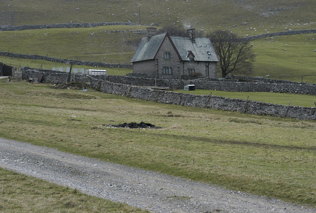
Back Pasture Hill Images
Images are sourced within 2km of 54.108638/-2.1464759 or Grid Reference SD9068. Thanks to Geograph Open Source API. All images are credited.


Back Pasture Hill is located at Grid Ref: SD9068 (Lat: 54.108638, Lng: -2.1464759)
Division: West Riding
Administrative County: North Yorkshire
District: Craven
Police Authority: North Yorkshire
What 3 Words
///snappy.enveloped.outboard. Near Settle, North Yorkshire
Nearby Locations
Related Wikis
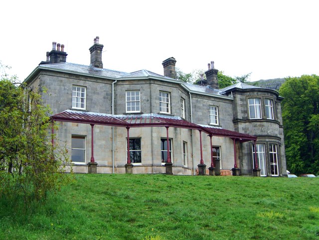
Malham Tarn Field Studies Centre
FSC Malham Tarn, situated near Malham Tarn in the Yorkshire Dales National Park, North Yorkshire, England, occupies a large Georgian country house, leased...
Malham Tarn Estate
Malham Tarn Estate is a National Trust property in North Yorkshire, England. The estate is located in the Pennines and lies between Wharfedale and Ribblesdale...
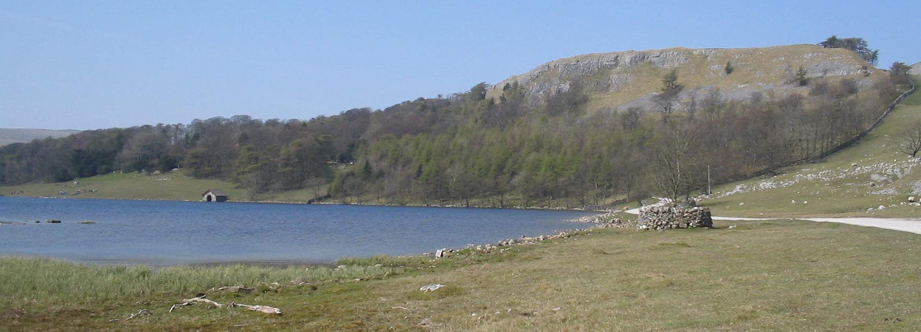
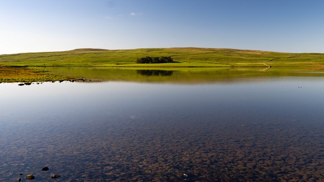
Malham Tarn
Malham Tarn is a glacial lake near the village of Malham in the Yorkshire Dales, England. The lake is one of only eight upland alkaline lakes in Europe...
Malham Moor
Malham Moor is a civil parish in the Craven district of North Yorkshire, England. Its population was estimated at 70 in 2015.It has a joint parish council...
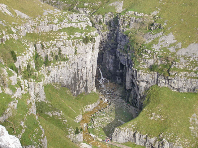
Gordale Scar
Gordale Scar is a limestone ravine 1 mile (1.6 km) north-east of Malham, North Yorkshire, England. It contains two waterfalls and has overhanging limestone...

Malham Cove
Malham Cove is a large curved limestone formation 0.6 miles (1 km) north of the village of Malham, North Yorkshire, England. It was formed by a waterfall...

Arncliffe, North Yorkshire
Arncliffe is a small village and civil parish in Littondale, one of the Yorkshire Dales in England. Littondale is a small valley beside Upper Wharfedale...

Scoska Wood
Scoska Wood is an IUCN Category IV – habitat or species management area, a British national nature reserve (NNR), and a Site of Special Scientific Interest...
Nearby Amenities
Located within 500m of 54.108638,-2.1464759Have you been to Back Pasture Hill?
Leave your review of Back Pasture Hill below (or comments, questions and feedback).