Shepherd's Bottom

Valley in Dorset

England

Shepherd's Bottom

North Road, Ashmore Down
North Road, Ashmore Down Credit: Richard Webb

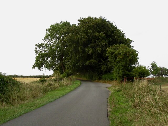
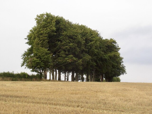
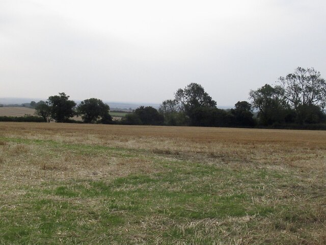
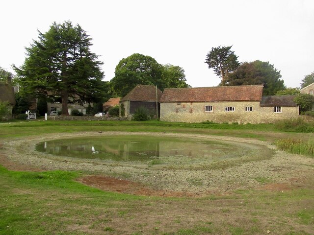
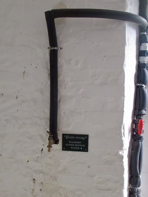
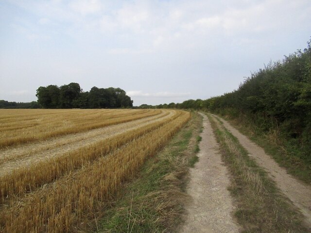
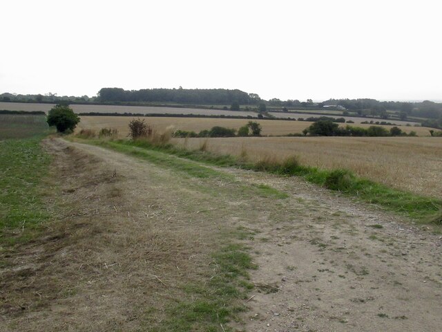
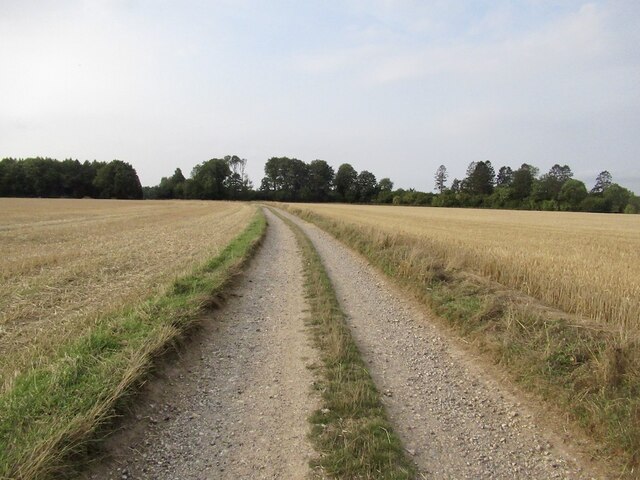
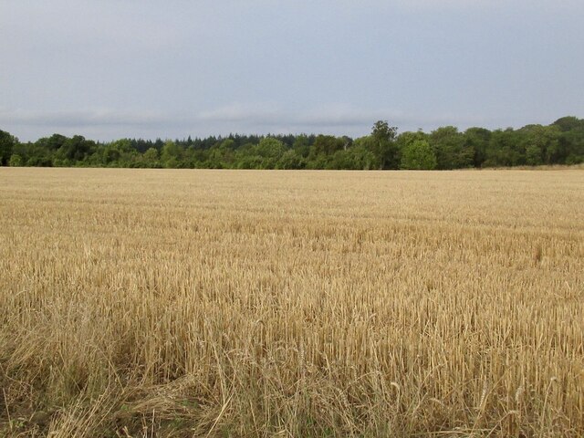
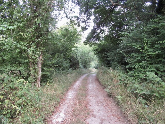
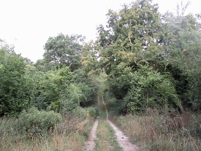
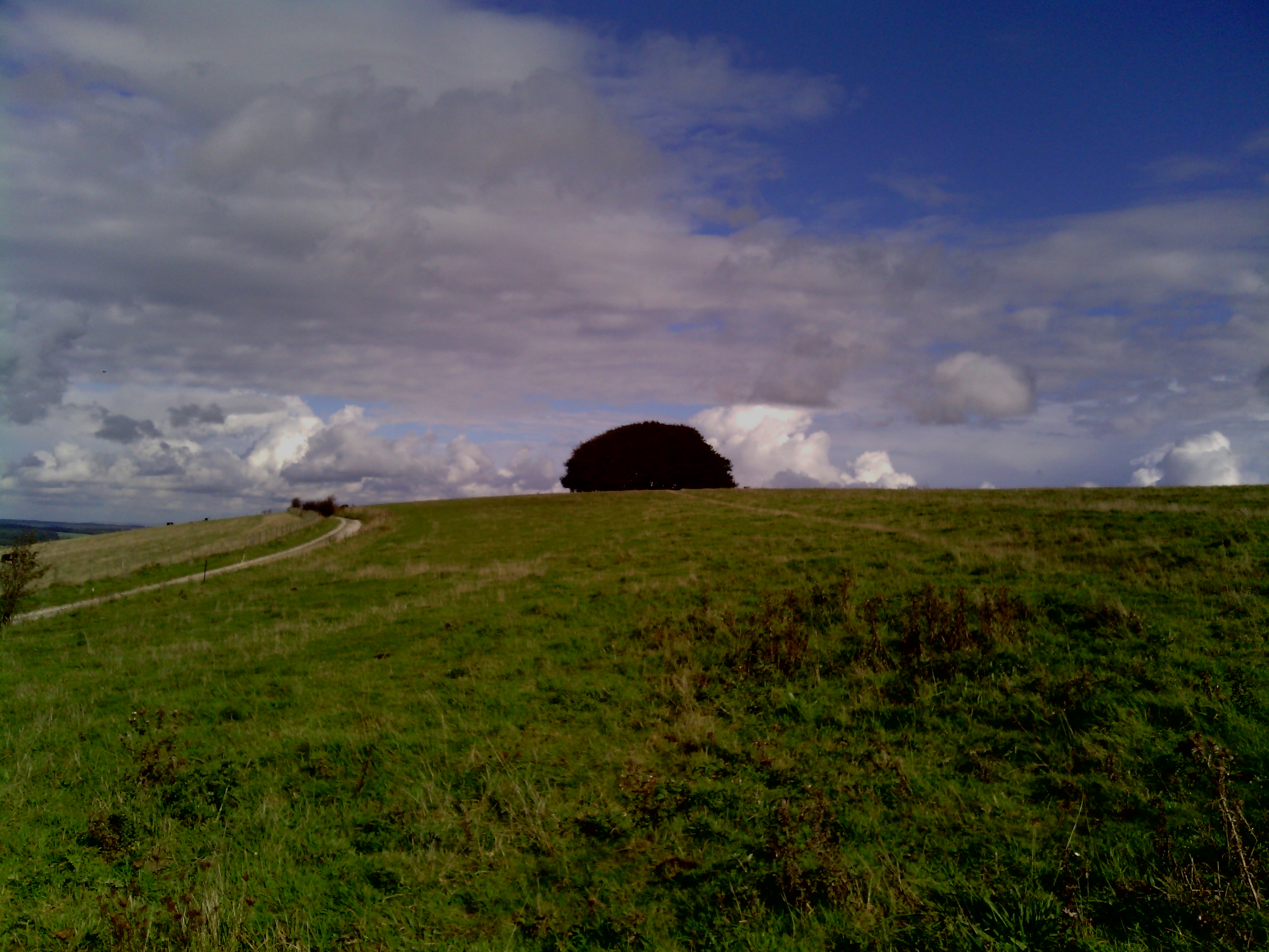
Shepherd's Bottom is a picturesque valley nestled in the heart of Dorset, England. Located near the village of Evershot, this idyllic countryside destination offers visitors a peaceful and serene retreat. The valley is surrounded by rolling green hills, dotted with charming cottages, and adorned with vibrant wildflowers.

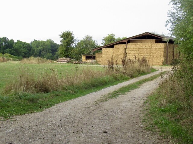
The name Shepherd's Bottom is derived from its historical use as grazing land for sheep, highlighting its rich agricultural heritage. The valley is known for its fertile soil, which has supported farming and livestock rearing for centuries.

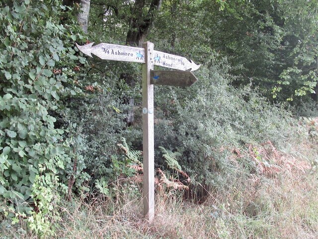
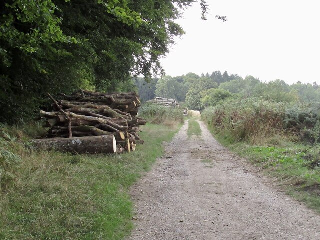
Visitors to Shepherd's Bottom can explore the area's natural beauty through a network of walking trails that wind through the valley and its surrounding hills. These trails offer breathtaking views of the picturesque landscape, making it a popular destination for nature enthusiasts and hikers.

Wildlife lovers will also find plenty to admire in Shepherd's Bottom. The valley is home to a variety of bird species, including skylarks and pheasants, which can often be spotted soaring above the fields. The tranquil environment provides a haven for other fauna as well, such as rabbits and squirrels.

Shepherd's Bottom also offers a glimpse into the region's history. The valley is dotted with remnants of ancient settlements, including burial mounds and earthworks, which provide insight into the area's past.

Whether it's exploring the natural beauty, discovering the local wildlife, or immersing oneself in the rich history, Shepherd's Bottom promises a memorable and enriching experience for all who visit.

If you have any feedback on the listing, please let us know in the comments section below.

Shepherd's Bottom Images

Images are sourced within 2km of 50.960084/-2.1377354 or Grid Reference ST9017. Thanks to Geograph Open Source API. All images are credited.

North Road, Ashmore Down
Stubble, Ashmore Down
Dip slope, Ashmore Farmland off North Road.
Dip slope, Ashmore
Farmland off North Road.
Former telephone box, Ashmore Now carrying a defibrillator.
Former telephone box, Ashmore
Now carrying a defibrillator.
Pond, Ashmore It can be a lot bigger.
Pond, Ashmore
It can be a lot bigger.
Fair Organ, Ashmore Felt fitting here.
Fair Organ, Ashmore
Felt fitting here.
Ancient Aquifer A bench on Ashmore's green over looking the pond.
Ancient Aquifer
A bench on Ashmore's green over looking the pond.
Milk and coffee Vending machine and source of water in Ashmore. Very welcome.
Milk and coffee
Vending machine and source of water in Ashmore. Very welcome.
Water source, Ashmore At the shed selling coffee. A very handy find as I was carrying a lot of water from Salisbury. Always a headache in chalk country.
Water source, Ashmore
At the shed selling coffee. A very handy find as I was carrying a lot of water from Salisbury. Always a headache in chalk country.
Farm track, Ashmore
Farm track, Ashmore
Farm track, Ashmore Arable land on a chalk dip slope.
Farm track, Ashmore
Arable land on a chalk dip slope.
Halfpenny Lane A very enjoyable chalk track under a big sky.
Halfpenny Lane
A very enjoyable chalk track under a big sky.
Stubble off Halfpenny Lane
Dorset path sign After the plain, and often absent Wiltshire signage, the flamboyant Dorset ones were quite a surprise.  Dorset suffers less from the horrible ableist English path restrictions than most places and is a great place to visit if you cannot backpack on foot anymore. There is always a feeling of having saved yourself a ferry fare, and the beer's better than further south.
Dorset path sign
After the plain, and often absent Wiltshire signage, the flamboyant Dorset ones were quite a surprise. Dorset suffers less from the horrible ableist English path restrictions than most places and is a great place to visit if you cannot backpack on foot anymore. There is always a feeling of having saved yourself a ferry fare, and the beer's better than further south.
Halfpenny Lane, south of Ashmore
Farm road near Ashmore Leads into a forest off Halfpenny Lane.
Farm road near Ashmore
Leads into a forest off Halfpenny Lane.
Road into Stony Bottom A chalk woodland track.
Road into Stony Bottom
A chalk woodland track.
Road, Stony Bottom What they call gravel riding now. I prefer bigger tyres than those currently fashionble - not all tracks are as kind as this and narrower tyres cut up the ground which helps promote restrictions.  However there is a serpent or two in this Eden, one of which are the small flints that shred inner tubes. Many ride tubeless now. I got all the way unscathed!
Road, Stony Bottom
What they call gravel riding now. I prefer bigger tyres than those currently fashionble - not all tracks are as kind as this and narrower tyres cut up the ground which helps promote restrictions. However there is a serpent or two in this Eden, one of which are the small flints that shred inner tubes. Many ride tubeless now. I got all the way unscathed!
Show me another place!

Shepherd's Bottom is located at Grid Ref: ST9017 (Lat: 50.960084, Lng: -2.1377354)

Unitary Authority: Dorset

Police Authority: Dorset

What 3 Words

///homecare.adverbs.onion. Near Shaftesbury, Dorset

Related Wikis

Ashmore

Ashmore is a village and civil parish in the North Dorset district of Dorset, England, 20 miles (32 kilometres) southwest of Salisbury. The village is...

Compton Abbas Airfield

Compton Abbas Airfield (IATA: n/a, ICAO: EGHA) is a grass airstrip 2.7 NM (5.0 km; 3.1 mi) south of Shaftesbury, Dorset, England. Compton Abbas Aerodrome...

Melbury Down

Melbury Down is an area of downland in northern Dorset, England. It is owned by the National Trust. The chalk grassland here supports large butterfly populations...

Breeze Hill

Breeze Hill is a prominent, largely treeless, rounded summit, 262 metres high, on the edge of Cranborne Chase about a mile east of the village of Melbury...

Melbury Abbas

Melbury Abbas is a village and civil parish in north Dorset, England, 3 km SSW of the town of Shaftesbury, east of the A350 Shaftesbury to Blandford Forum...

Win Green Down

Win Green Down at grid reference ST927209 in south-western Wiltshire, England is a 26.0 hectares (64 acres) biological Site of Special Scientific Interest...

Compton Abbas

Compton Abbas is a village and civil parish in north Dorset, England. It lies 3 miles (5 kilometres) south of the town of Shaftesbury. It is sited on greensand...

Melbury Hill

Melbury Hill, whose summit is also called Melbury Beacon, is a prominent hill, 263 metres high, on the high chalk escarpment of the North Dorset Downs...

Nearby Amenities

Located within 500m of 50.960084,-2.1377354
Power: pole
Source: bing
Lat/Long: 50.9640101/-2.1373209
Power: pole
Source: bing
Lat/Long: 50.9633344/-2.1373424
Power: pole
Source: bing
Lat/Long: 50.9627212/-2.136822
Power: pole
Source: bing
Lat/Long: 50.9621113/-2.1363232
Power: pole
Source: bing
Lat/Long: 50.9623478/-2.1351028
Power: pole
Source: bing
Lat/Long: 50.9625472/-2.133885
Power: pole
Source: bing
Lat/Long: 50.962189/-2.1328497
Power: pole
Source: bing
Lat/Long: 50.9618191/-2.1318412
The data included in this document is from www.openstreetmap.org. The data is made available under ODbL.

Have you been to Shepherd's Bottom?

Leave your review of Shepherd's Bottom below (or comments, questions and feedback).