Shedden Clough
Valley in Lancashire Burnley
England
Shedden Clough
Shedden Clough is a picturesque valley located in the county of Lancashire, England. Nestled amidst the rolling hills and verdant landscapes, this valley is a haven of natural beauty and tranquility.
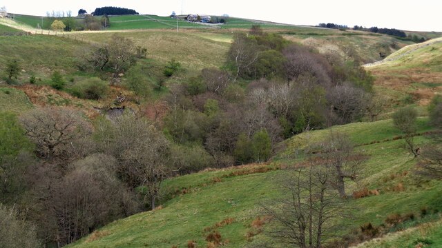
The valley is characterized by its lush greenery, with a meandering stream that runs through its heart. This stream, known as Shedden Clough Brook, adds to the charm of the area, offering a soothing soundtrack as it gurgles over the rocks. The brook is also home to a variety of aquatic life, including trout and small fish species.
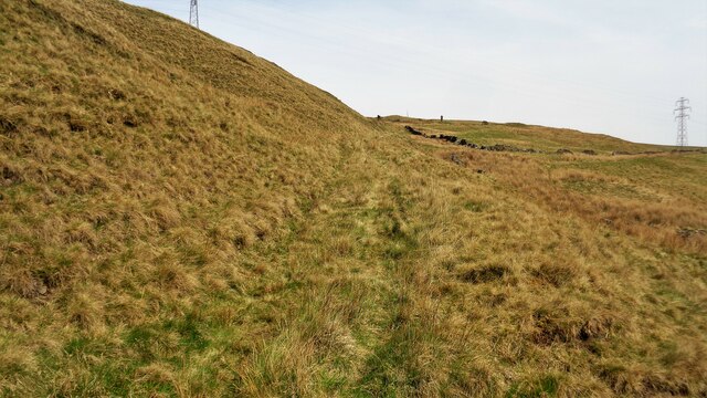
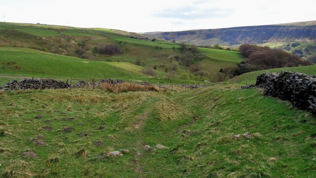
Surrounded by dense woodlands, Shedden Clough is a haven for nature enthusiasts and hikers alike. The valley boasts an extensive network of walking trails, allowing visitors to explore its scenic beauty at their own pace. The trails wind through ancient woodlands, offering glimpses of native flora and fauna, including oak, birch, and beech trees, as well as a rich diversity of bird species.
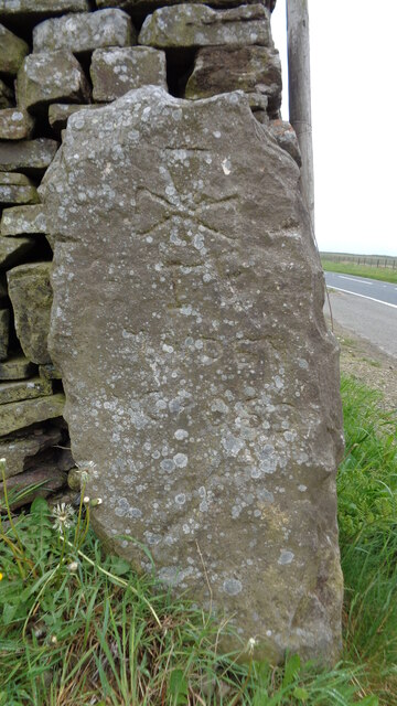
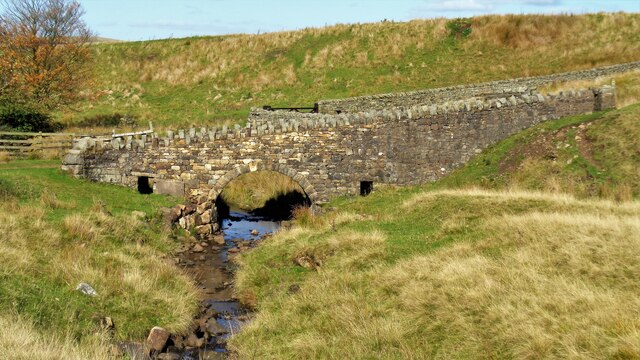
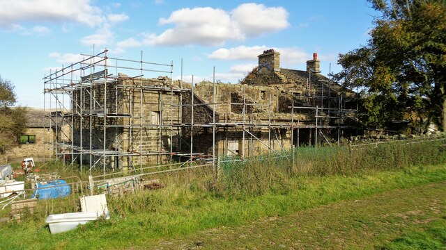
Shedden Clough is also known for its historical significance. The valley is home to several remnants of its industrial past, including old mill buildings and stone bridges. These historic structures serve as a reminder of the area's former role in the textile industry, which thrived in Lancashire during the 19th century.
In conclusion, Shedden Clough is a hidden gem in Lancashire, offering a peaceful retreat from the hustle and bustle of modern life. With its stunning natural beauty and rich history, this valley is a must-visit destination for nature lovers and history enthusiasts alike.
If you have any feedback on the listing, please let us know in the comments section below.
Shedden Clough Images
Images are sourced within 2km of 53.758606/-2.1563709 or Grid Reference SD8929. Thanks to Geograph Open Source API. All images are credited.


Shedden Clough is located at Grid Ref: SD8929 (Lat: 53.758606, Lng: -2.1563709)
Administrative County: Lancashire
District: Burnley
Police Authority: Lancashire
What 3 Words
///incensed.grit.phones. Near Cornholme, West Yorkshire
Nearby Locations
Related Wikis

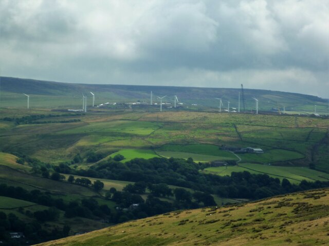
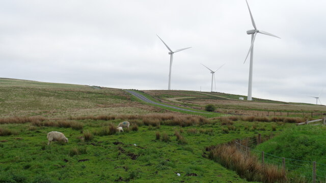
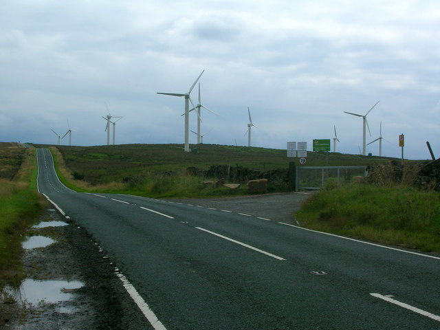
Coal Clough Wind Farm
Coal Clough Wind Farm is one of the oldest onshore wind farms in England. The wind farm, which was built for Scottish Power, produced electricity from...

Holme Hall, Cliviger
Holme Hall (or The Holme) is a Grade II* listed manor house in Cliviger near Burnley, in Lancashire, England. The house dates back to at least the 15th...

Church of St John the Divine, Holme Chapel
The Church of St John the Divine is in Burnley Road, Holme Chapel, a village in the civil parish of Cliviger, near Burnley, Lancashire, England. It is...

Holme railway station (Lancashire)
Holme railway station served Holme Chapel on the Copy Pit line. The station closed in July 1930 and the line now serves as a non-stop route between Hebden...
Nearby Amenities
Located within 500m of 53.758606,-2.1563709Have you been to Shedden Clough?
Leave your review of Shedden Clough below (or comments, questions and feedback).