Shackleton Clough

Valley in Lancashire Rossendale

England

Shackleton Clough

Former Shawforth Station Subway Steps Steps leading up to what is now Knowsley Crescent housing
Former Shawforth Station Subway Steps Credit: Kevin Waterhouse

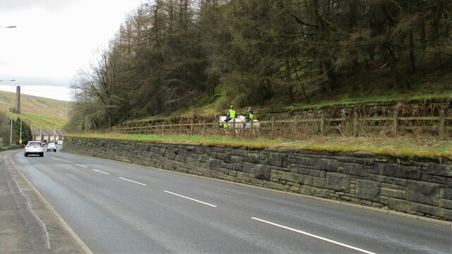
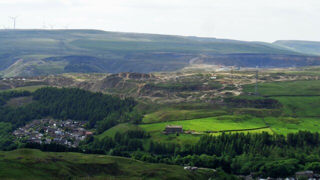
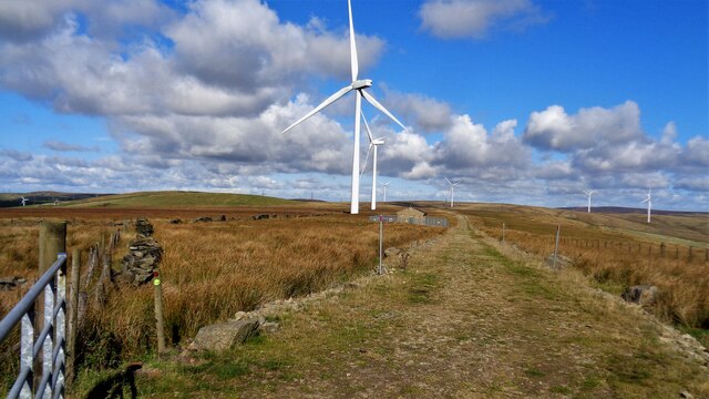
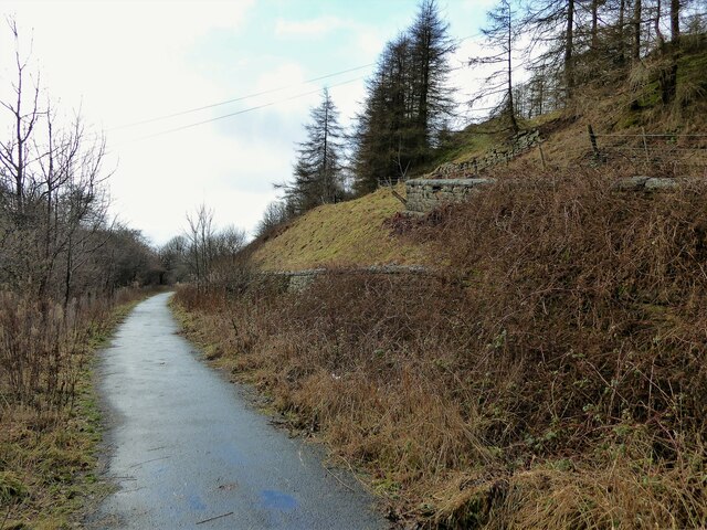
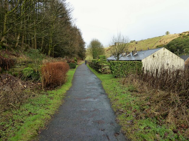
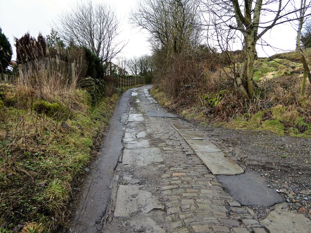
Shackleton Clough is a picturesque valley located in the county of Lancashire, England. Nestled in the Pennine Hills, this idyllic landscape is renowned for its natural beauty and tranquil surroundings. The valley is situated near the town of Todmorden and is a popular destination for nature enthusiasts and hikers alike.

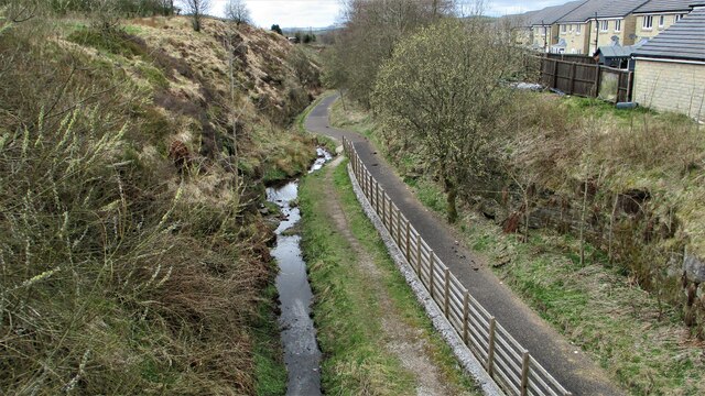
The main feature of Shackleton Clough is its stunning waterfalls, which cascade down the rocky cliffs, creating a mesmerizing sight and a soothing soundtrack of rushing water. These waterfalls are fed by the Shackleton Brook, a small stream that runs through the valley. The brook meanders its way through the lush vegetation, adding to the serenity of the area.

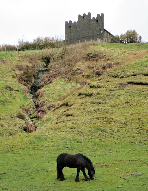
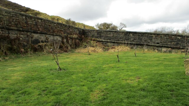
The valley is also home to a diverse range of flora and fauna. The surrounding woodland is dominated by ancient trees, including oak, beech, and birch, providing a habitat for a variety of bird species and small mammals. The valley floor is carpeted with vibrant wildflowers during the spring and summer months, adding a burst of color to the landscape.

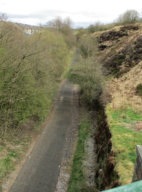
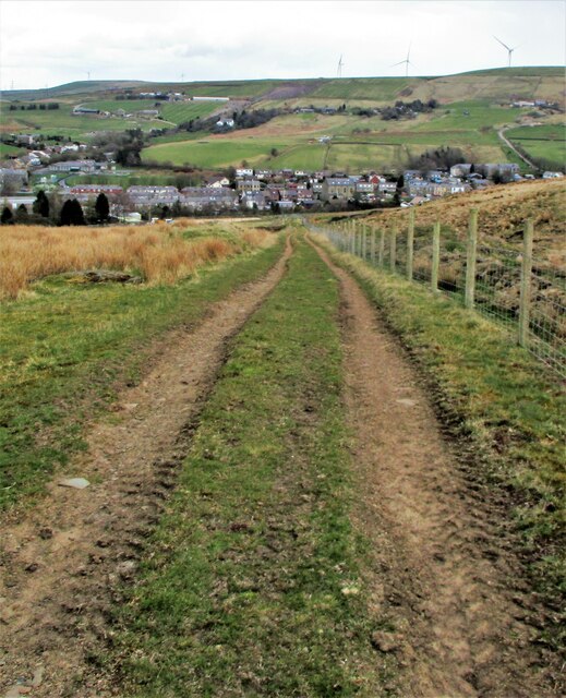
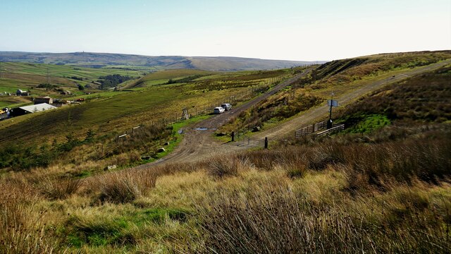
For those who enjoy outdoor activities, Shackleton Clough offers numerous hiking trails that wind their way through the valley and up the surrounding hills. These trails provide stunning views of the valley below and the surrounding countryside.

Overall, Shackleton Clough is a hidden gem in Lancashire, offering a peaceful retreat from the hustle and bustle of modern life. Its natural beauty and abundance of wildlife make it a must-visit destination for nature lovers and adventurers.

If you have any feedback on the listing, please let us know in the comments section below.

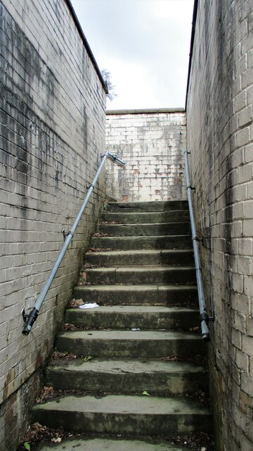
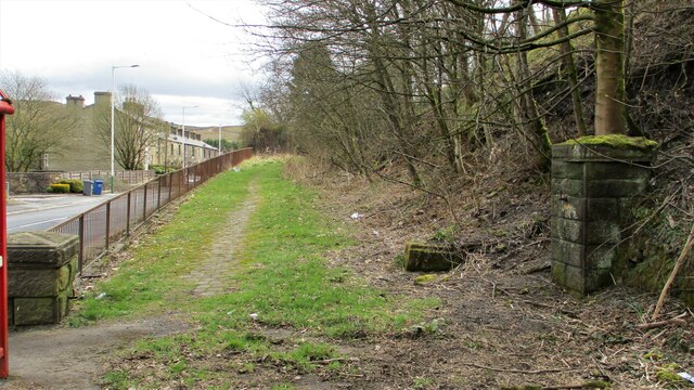
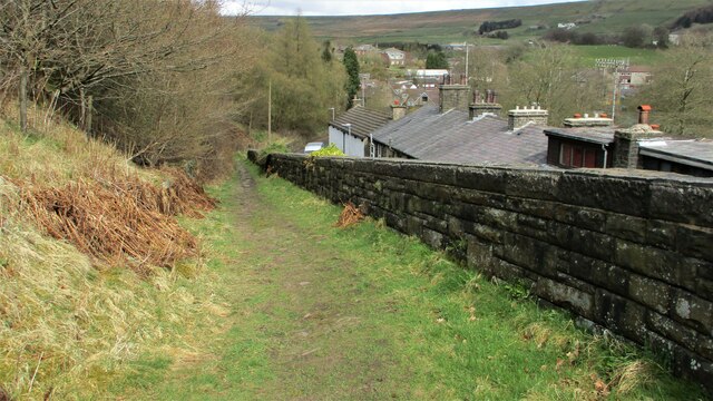
Shackleton Clough Images

Images are sourced within 2km of 53.693178/-2.1594293 or Grid Reference SD8921. Thanks to Geograph Open Source API. All images are credited.

Former Shawforth Station Subway Steps Steps leading up to what is now Knowsley Crescent housing
Former Shawforth Station Subway Steps
Steps leading up to what is now Knowsley Crescent housing
Footbridge over former Rochdale to Bacup Railway Footbridge North of Shawforth Station connecting Old Lane with Market Street
Footbridge over former Rochdale to Bacup Railway
Footbridge North of Shawforth Station connecting Old Lane with Market Street
Former Approach Road to Shawforth Station Yard The approach road runs parallel with Market Street but rises up to the former rail level
Former Approach Road to Shawforth Station Yard
The approach road runs parallel with Market Street but rises up to the former rail level
Access Track from Cowm Street to Former Railway Crossing Track up to what appears to be a former level crossing on the Rochdale-Bacup Railway
Access Track from Cowm Street to Former Railway Crossing
Track up to what appears to be a former level crossing on the Rochdale-Bacup Railway
Weather-break Farmhouse Gable End Old House Farmhouse has a gable end designed to control the wind and protect the roof. Viewed from Market Street, Trough Gate.
Weather-break Farmhouse Gable End
Old House Farmhouse has a gable end designed to control the wind and protect the roof. Viewed from Market Street, Trough Gate.
Horse Riders on Former Rochdale-Bacup Railway View down Market Street with former railway to right but within a cutting now filled. Peel Mill Chimney, Shawforth in the distance.
Horse Riders on Former Rochdale-Bacup Railway
View down Market Street with former railway to right but within a cutting now filled. Peel Mill Chimney, Shawforth in the distance.
Old Lane Railway Bridge, Trough Gate The arch of the former railway bridge and cutting have been completely filled with land fill and landscaped.
Old Lane Railway Bridge, Trough Gate
The arch of the former railway bridge and cutting have been completely filled with land fill and landscaped.
Boundary Stone at Trough Gate Car Park Stone has Whitworth on the visible face and Bacup on the other. It appears to be an ecclesiastical boundary between Salford and Blackburn.
Boundary Stone at Trough Gate Car Park
Stone has Whitworth on the visible face and Bacup on the other. It appears to be an ecclesiastical boundary between Salford and Blackburn.
Deansgreave Road Railway Bridge View of the bridge from the East around about the summit of the former Rochdale to Bacup railway. The now cyclepath falls away rapidily after the bridge.
Deansgreave Road Railway Bridge
View of the bridge from the East around about the summit of the former Rochdale to Bacup railway. The now cyclepath falls away rapidily after the bridge.
Former Trackbed of Rochdale to Bacup Railway View East from Lee Moor Colliery Incline Bridge along the now cycleway.
Former Trackbed of Rochdale to Bacup Railway
View East from Lee Moor Colliery Incline Bridge along the now cycleway.
Former Trackbed of Rochdale to Bacup Railway View West from Deansgreave Road railway bridge along the former trackbed now a cycleway.
Former Trackbed of Rochdale to Bacup Railway
View West from Deansgreave Road railway bridge along the former trackbed now a cycleway.
Former Britannia Quarry Railway Incline View down incline from Stubbylee Moss to Britannia
Former Britannia Quarry Railway Incline
View down incline from Stubbylee Moss to Britannia
Mast and Pylon at Facit Quarry With the active Britannia Quarry beyond, viewed from Hades Hill
Mast and Pylon at Facit Quarry
With the active Britannia Quarry beyond, viewed from Hades Hill
Limers Gate and Wind Farm access road The junction of the gated new access road to Reaps Moss Wind Farm and the older Limers Gate. The latter has its own gate further from the junction
Limers Gate and Wind Farm access road
The junction of the gated new access road to Reaps Moss Wind Farm and the older Limers Gate. The latter has its own gate further from the junction
Reaps Moss Wind Farm access road The Rossendale Way crosses the access road at the camera position and continues north against the broken-down wall. The Rossendale Way crosses very rough unmarked ground and the access road is a far easy alternative, apart from the locked gate at its junction with Limers Gate
Reaps Moss Wind Farm access road
The Rossendale Way crosses the access road at the camera position and continues north against the broken-down wall. The Rossendale Way crosses very rough unmarked ground and the access road is a far easy alternative, apart from the locked gate at its junction with Limers Gate
Former railway trackbed The Rochdale to Bacup branch line was cut into the hillside around Cowm. Now used as a cycle path.
Former railway trackbed
The Rochdale to Bacup branch line was cut into the hillside around Cowm. Now used as a cycle path.
Former railway trackbed The Rochdale to Bacup branch line was cut into the hillside on the climb beyond Shawforth. Now a cycle route and here used as a rear garden for the terraced row of cottages sandwiched between the railway and the road.
Former railway trackbed
The Rochdale to Bacup branch line was cut into the hillside on the climb beyond Shawforth. Now a cycle route and here used as a rear garden for the terraced row of cottages sandwiched between the railway and the road.
Old paved lane An old route called Trough Gate Lane on early OS maps
Old paved lane
An old route called Trough Gate Lane on early OS maps
Show me another place!

Shackleton Clough is located at Grid Ref: SD8921 (Lat: 53.693178, Lng: -2.1594293)

Administrative County: Lancashire

District: Rossendale

Police Authority: Lancashire

What 3 Words

///lazy.resembles.touches. Near Bacup, Lancashire

Related Wikis

Britannia, Lancashire

Britannia is a suburb of Bacup in the Rossendale borough of Lancashire, England. It lies on the course of two major roads and has a school and a nature...

Shawforth

Shawforth ( SHAW-fərth) is a ward in the township of Whitworth within the Rossendale borough of Lancashire, England. It lies amongst the South Pennines...

Britannia railway station

Britannia railway station served Britannia near Bacup, Lancashire, England, from 1881 until closure in 1917. The station was just to the west of the summit...

Shawforth railway station

Shawforth railway station served Shawforth near Bacup, Rossendale, Lancashire, England, from 1881 until closure in 1947. == References == Suggitt, Gordon...

Nearby Amenities

Located within 500m of 53.693178,-2.1594293
Place: farm
Lat/Long: 53.6927846/-2.1558801
Place: farm
Lat/Long: 53.6911074/-2.1608369
Building: yes
Lat/Long: 53.6926185/-2.1657747
Building: yes
Lat/Long: 53.694232/-2.1610111
The data included in this document is from www.openstreetmap.org. The data is made available under ODbL.

Have you been to Shackleton Clough?

Leave your review of Shackleton Clough below (or comments, questions and feedback).