Reddish Hill

Hill, Mountain in Lancashire Rossendale

England

Reddish Hill

Former Shawforth Station Subway Steps Steps leading up to what is now Knowsley Crescent housing
Former Shawforth Station Subway Steps Credit: Kevin Waterhouse

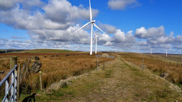
Reddish Hill is a prominent natural feature located in the county of Lancashire, England. Situated near the town of Rossendale, it is considered a hill rather than a mountain due to its elevation of approximately 1,033 feet (315 meters) above sea level. The hill is part of the Pennine Range, a rugged and picturesque landscape known for its rolling hills and valleys.

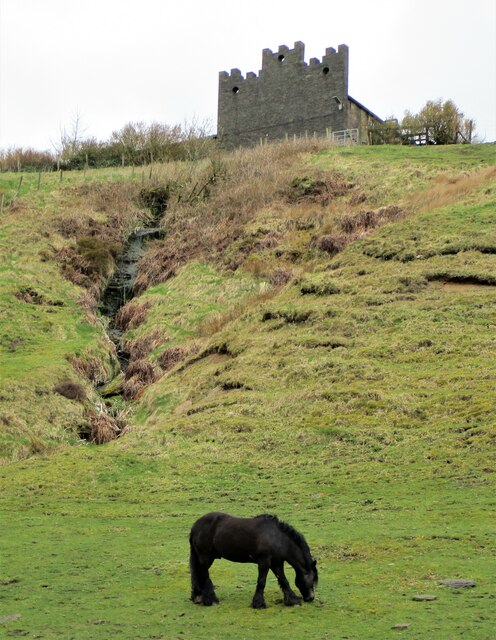
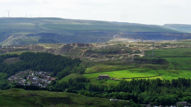
Reddish Hill offers breathtaking panoramic views of the surrounding countryside, including the Lancashire Plain, the West Pennine Moors, and the Rossendale Valley. Its distinctive reddish color, which gives the hill its name, is caused by the presence of iron oxide in the soil composition.

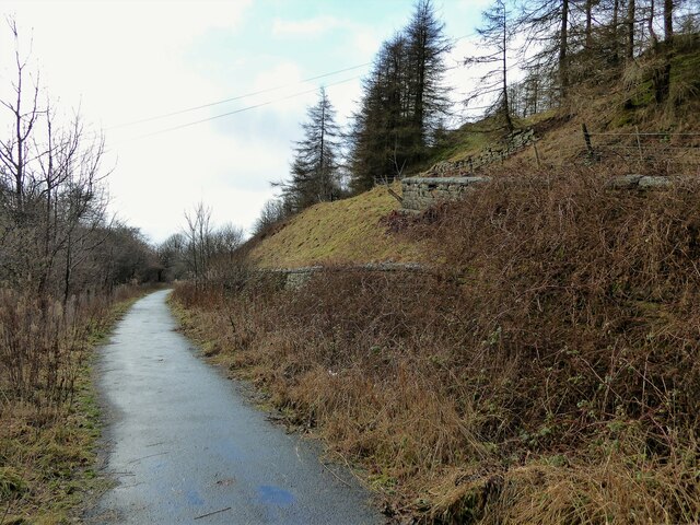
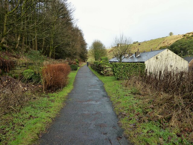
The hill is a popular destination for hikers, nature enthusiasts, and photographers, who are drawn to its natural beauty and tranquility. Several footpaths and trails crisscross the area, providing opportunities for exploration and admiring the diverse flora and fauna that inhabit the hillside.

Reddish Hill also holds historical significance, with evidence of human activity dating back to the Bronze Age. The remains of ancient settlements and burial sites have been discovered in the vicinity, adding to the hill's allure for those interested in archaeology and history.

In addition to its natural and historical appeal, Reddish Hill is home to a variety of wildlife, including birds of prey, small mammals, and rare plant species. Conservation efforts have been implemented to preserve the hill's unique ecosystem and protect its biodiversity.

Overall, Reddish Hill is a captivating destination in Lancashire, offering a blend of natural beauty, recreational opportunities, and historical significance that appeals to a wide range of visitors.

If you have any feedback on the listing, please let us know in the comments section below.
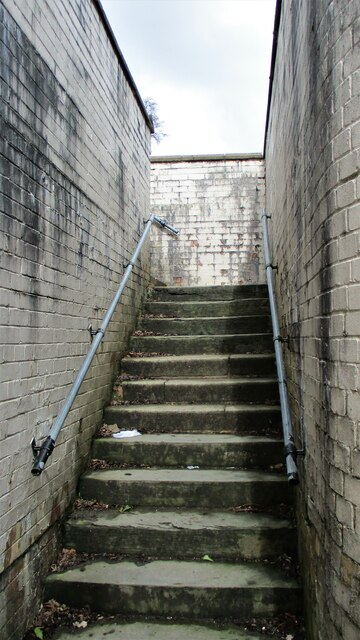
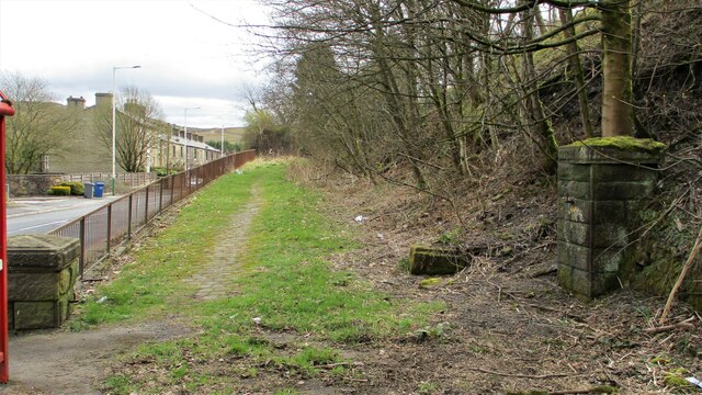
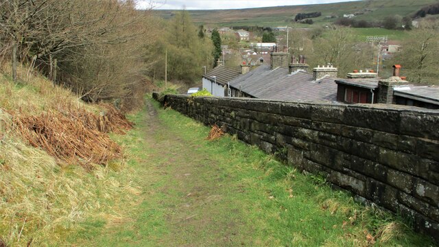
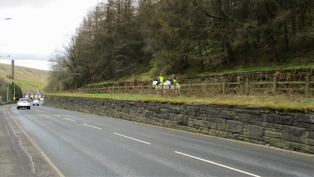
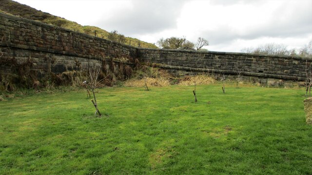
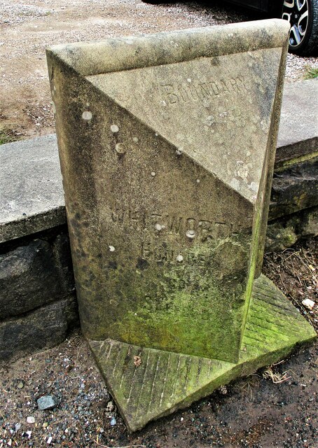
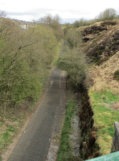
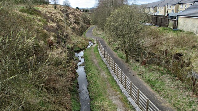
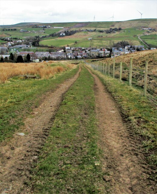
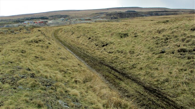
Reddish Hill Images

Images are sourced within 2km of 53.690488/-2.1675661 or Grid Reference SD8921. Thanks to Geograph Open Source API. All images are credited.

Former Shawforth Station Subway Steps Steps leading up to what is now Knowsley Crescent housing
Former Shawforth Station Subway Steps
Steps leading up to what is now Knowsley Crescent housing
Footbridge over former Rochdale to Bacup Railway Footbridge North of Shawforth Station connecting Old Lane with Market Street
Footbridge over former Rochdale to Bacup Railway
Footbridge North of Shawforth Station connecting Old Lane with Market Street
Former Approach Road to Shawforth Station Yard The approach road runs parallel with Market Street but rises up to the former rail level
Former Approach Road to Shawforth Station Yard
The approach road runs parallel with Market Street but rises up to the former rail level
Access Track from Cowm Street to Former Railway Crossing Track up to what appears to be a former level crossing on the Rochdale-Bacup Railway
Access Track from Cowm Street to Former Railway Crossing
Track up to what appears to be a former level crossing on the Rochdale-Bacup Railway
Weather-break Farmhouse Gable End Old House Farmhouse has a gable end designed to control the wind and protect the roof. Viewed from Market Street, Trough Gate.
Weather-break Farmhouse Gable End
Old House Farmhouse has a gable end designed to control the wind and protect the roof. Viewed from Market Street, Trough Gate.
Horse Riders on Former Rochdale-Bacup Railway View down Market Street with former railway to right but within a cutting now filled. Peel Mill Chimney, Shawforth in the distance.
Horse Riders on Former Rochdale-Bacup Railway
View down Market Street with former railway to right but within a cutting now filled. Peel Mill Chimney, Shawforth in the distance.
Old Lane Railway Bridge, Trough Gate The arch of the former railway bridge and cutting have been completely filled with land fill and landscaped.
Old Lane Railway Bridge, Trough Gate
The arch of the former railway bridge and cutting have been completely filled with land fill and landscaped.
Boundary Stone at Trough Gate Car Park Stone has Whitworth on the visible face and Bacup on the other. It appears to be an ecclesiastical boundary between Salford and Blackburn.
Boundary Stone at Trough Gate Car Park
Stone has Whitworth on the visible face and Bacup on the other. It appears to be an ecclesiastical boundary between Salford and Blackburn.
Deansgreave Road Railway Bridge View of the bridge from the East around about the summit of the former Rochdale to Bacup railway. The now cyclepath falls away rapidily after the bridge.
Deansgreave Road Railway Bridge
View of the bridge from the East around about the summit of the former Rochdale to Bacup railway. The now cyclepath falls away rapidily after the bridge.
Former Trackbed of Rochdale to Bacup Railway View East from Lee Moor Colliery Incline Bridge along the now cycleway.
Former Trackbed of Rochdale to Bacup Railway
View East from Lee Moor Colliery Incline Bridge along the now cycleway.
Former Trackbed of Rochdale to Bacup Railway View West from Deansgreave Road railway bridge along the former trackbed now a cycleway.
Former Trackbed of Rochdale to Bacup Railway
View West from Deansgreave Road railway bridge along the former trackbed now a cycleway.
Former Britannia Quarry Railway Incline View down incline from Stubbylee Moss to Britannia
Former Britannia Quarry Railway Incline
View down incline from Stubbylee Moss to Britannia
Former Britannia Quarry Railway Trackbed View South across Stubbylee Moss with current quarrying activity beyond in what was Britannia Quarry, but always over the border in Whitworth.
Former Britannia Quarry Railway Trackbed
View South across Stubbylee Moss with current quarrying activity beyond in what was Britannia Quarry, but always over the border in Whitworth.
Mast and Pylon at Facit Quarry With the active Britannia Quarry beyond, viewed from Hades Hill
Mast and Pylon at Facit Quarry
With the active Britannia Quarry beyond, viewed from Hades Hill
Reaps Moss Wind Farm access road The Rossendale Way crosses the access road at the camera position and continues north against the broken-down wall. The Rossendale Way crosses very rough unmarked ground and the access road is a far easy alternative, apart from the locked gate at its junction with Limers Gate
Reaps Moss Wind Farm access road
The Rossendale Way crosses the access road at the camera position and continues north against the broken-down wall. The Rossendale Way crosses very rough unmarked ground and the access road is a far easy alternative, apart from the locked gate at its junction with Limers Gate
Former railway trackbed The Rochdale to Bacup branch line was cut into the hillside around Cowm. Now used as a cycle path.
Former railway trackbed
The Rochdale to Bacup branch line was cut into the hillside around Cowm. Now used as a cycle path.
Former railway trackbed The Rochdale to Bacup branch line was cut into the hillside on the climb beyond Shawforth. Now a cycle route and here used as a rear garden for the terraced row of cottages sandwiched between the railway and the road.
Former railway trackbed
The Rochdale to Bacup branch line was cut into the hillside on the climb beyond Shawforth. Now a cycle route and here used as a rear garden for the terraced row of cottages sandwiched between the railway and the road.
Old paved lane An old route called Trough Gate Lane on early OS maps
Old paved lane
An old route called Trough Gate Lane on early OS maps
Show me another place!

Reddish Hill is located at Grid Ref: SD8921 (Lat: 53.690488, Lng: -2.1675661)

Administrative County: Lancashire

District: Rossendale

Police Authority: Lancashire

What 3 Words

///warm.lighters.newsprint. Near Bacup, Lancashire

Related Wikis

Britannia, Lancashire

Britannia is a suburb of Bacup in the Rossendale borough of Lancashire, England. It lies on the course of two major roads and has a school and a nature...

Britannia railway station

Britannia railway station served Britannia near Bacup, Lancashire, England, from 1881 until closure in 1917. The station was just to the west of the summit...

Shawforth

Shawforth ( SHAW-fərth) is a ward in the township of Whitworth within the Rossendale borough of Lancashire, England. It lies amongst the South Pennines...

Shawforth railway station

Shawforth railway station served Shawforth near Bacup, Rossendale, Lancashire, England, from 1881 until closure in 1947. == References == Suggitt, Gordon...

Nearby Amenities

Located within 500m of 53.690488,-2.1675661
Power: tower
Lat/Long: 53.6894643/-2.1708091
Power: tower
Lat/Long: 53.6915706/-2.1724445
Place: farm
Lat/Long: 53.6911074/-2.1608369
Building: yes
Lat/Long: 53.694016/-2.1708173
Building: yes
Lat/Long: 53.6926185/-2.1657747
Building: yes
Lat/Long: 53.6892006/-2.1653241
Building: yes
Lat/Long: 53.6886796/-2.1674699
Building: yes
Lat/Long: 53.6889464/-2.1700448
Building: yes
Lat/Long: 53.6883238/-2.1686501
Generator Method: photovoltaic
Generator Output Electricity: yes
Generator Source: solar
Generator Type: solar_photovoltaic_panel
Location: roof
Power: generator
Lat/Long: 53.6896037/-2.1742273
Post Box
Brand: Post Office
Brand Wikidata: Q1783168
Collection Times: Mo-Fr 09:00; Sa 07:00
Operator: Post Office
Operator Wikidata: Q1783168
Post Box Type: wall
Ref: OL13 273D
Royal Cypher: EIIR
Lat/Long: 53.6895514/-2.1749814
The data included in this document is from www.openstreetmap.org. The data is made available under ODbL.

Have you been to Reddish Hill?

Leave your review of Reddish Hill below (or comments, questions and feedback).