Beater Clough
Valley in Lancashire Burnley
England
Beater Clough
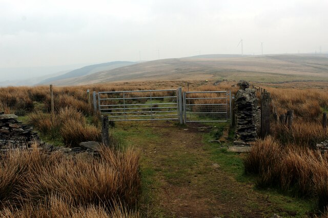
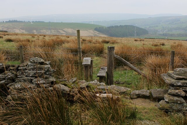
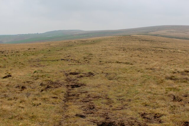
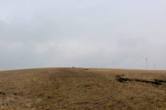
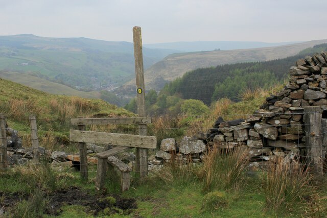
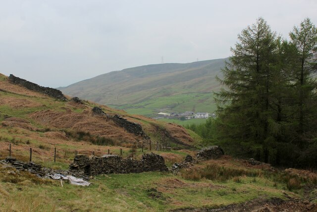
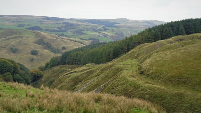
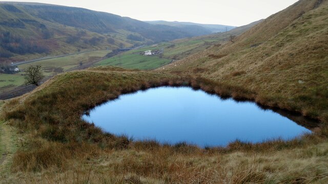
Beater Clough is a picturesque valley located in Lancashire, England. Situated within the larger region of Rossendale, it is known for its natural beauty and tranquil atmosphere. The valley is surrounded by rolling hills and dense woodland, creating a serene setting that attracts nature lovers and outdoor enthusiasts.
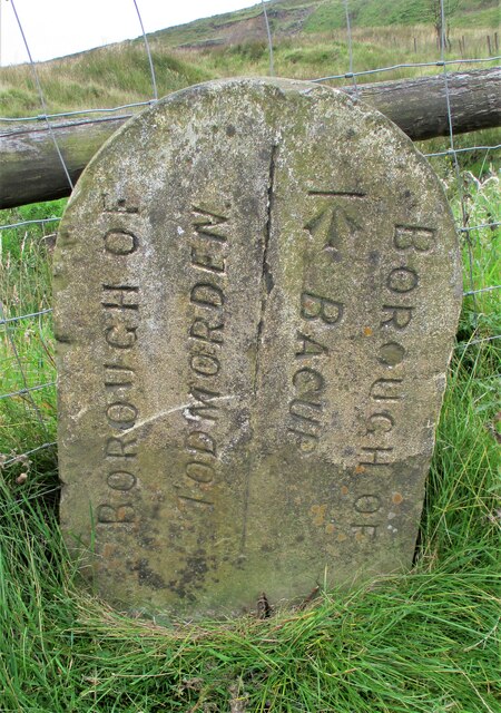
The name "Beater Clough" originates from the Old English term "beatan," meaning to strike or beat, and "clough," which refers to a steep-sided valley or ravine. This nomenclature reflects the valley's rugged terrain and the presence of a small stream that runs through it.
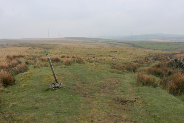
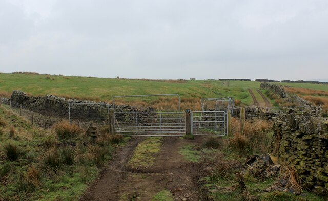
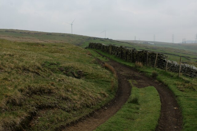
The valley is home to a diverse range of flora and fauna, including various species of birds, insects, and plants. It offers numerous walking trails and paths, allowing visitors to explore its scenic surroundings. One popular route is the Beater's Clough Circular Walk, which offers stunning views of the valley and the surrounding countryside.
Beater Clough is also known for its historical significance. The valley has evidence of ancient settlements, with archaeological finds suggesting human activity dating back to the Bronze Age. The remnants of stone circles and burial mounds can still be seen in the area, adding to its historical charm.
Overall, Beater Clough is a hidden gem in Lancashire, offering visitors a chance to immerse themselves in nature while discovering the region's rich history. Whether it's for a leisurely walk, birdwatching, or simply enjoying the tranquility of the countryside, Beater Clough is a must-visit destination for nature enthusiasts and history buffs alike.
If you have any feedback on the listing, please let us know in the comments section below.
Beater Clough Images
Images are sourced within 2km of 53.732057/-2.1615623 or Grid Reference SD8926. Thanks to Geograph Open Source API. All images are credited.


Beater Clough is located at Grid Ref: SD8926 (Lat: 53.732057, Lng: -2.1615623)
Administrative County: Lancashire
District: Burnley
Police Authority: Lancashire
What 3 Words
///resettle.munched.stove. Near Cornholme, West Yorkshire
Nearby Locations
Related Wikis

Portsmouth, West Yorkshire
Portsmouth is a village on the A646 road in the Calderdale district, in the county of West Yorkshire, England. Nearby settlements include the towns of...

Portsmouth (Lancs) railway station
Portsmouth railway station was on the Copy Pit line and served the village of Portsmouth, which was part of Lancashire, before being incorporated into...

Hill Top Colliery
The Hill Top Colliery in Sharneyford between Bacup and Todmorden was, until 2014, the last coal mine still in operation in Lancashire. == Foundation... ==

Cornholme
Cornholme is a village near Todmorden, in the metropolitan borough of Calderdale, in West Yorkshire, England. It lies at the edge of Calderdale, on the...

Pudsey, Calderdale
Pudsey is a neighbourhood in the village of Cornholme, Calderdale, West Yorkshire, England. It is near the town of Todmorden and the A646 Burnley Road...
Cornholme railway station
Cornholme railway station served the village of Cornholme in West Yorkshire, England on the Copy Pit line. The station was opened by the Lancashire and...

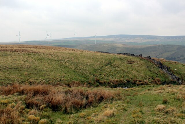
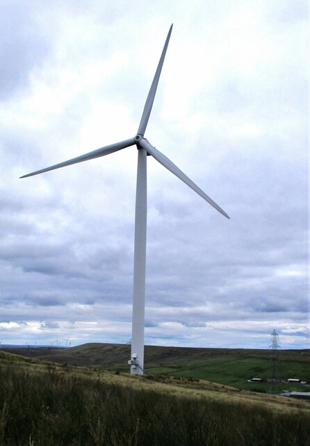
Coal Clough Wind Farm
Coal Clough Wind Farm is one of the oldest onshore wind farms in England. The wind farm, which was built for Scottish Power, produced electricity from...

Sharneyford
Sharneyford is a hamlet in Lancashire, England, on the A681 road between Bacup and Todmorden. It is home to one of the smallest schools in Britain, Sharneyford...
Nearby Amenities
Located within 500m of 53.732057,-2.1615623Have you been to Beater Clough?
Leave your review of Beater Clough below (or comments, questions and feedback).