Chatham Hill Plantation
Wood, Forest in Lancashire Burnley
England
Chatham Hill Plantation
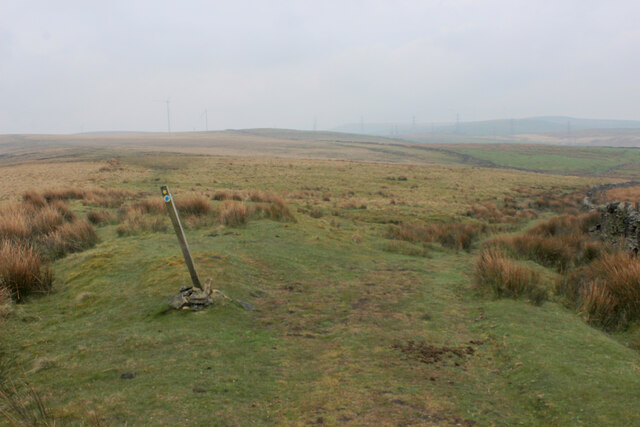
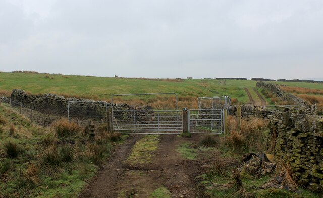
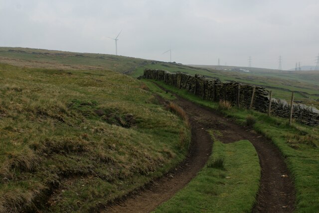
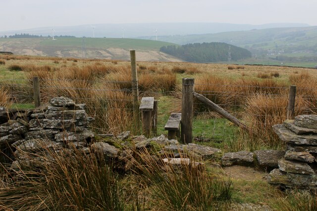
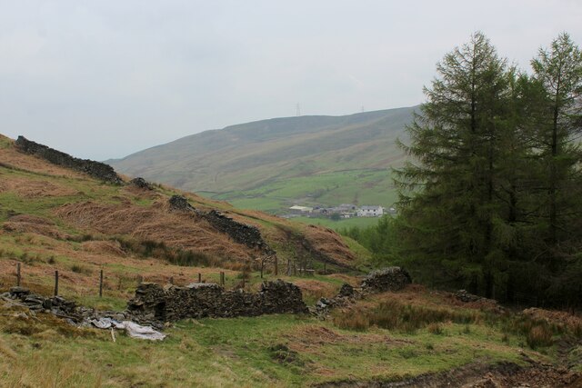
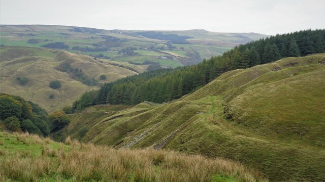
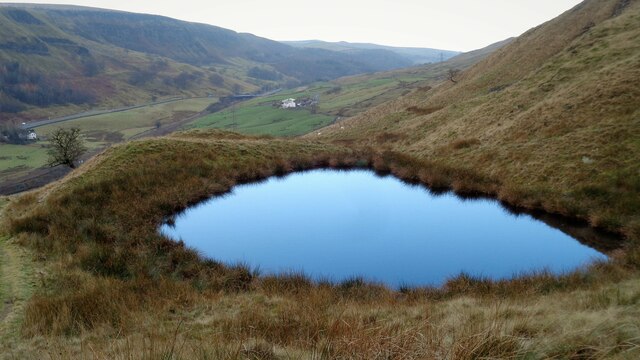
Chatham Hill Plantation is a sprawling woodland area located in Lancashire, England. Covering a vast expanse of land, this plantation is a haven for nature enthusiasts and outdoor adventurers alike. It is situated in the heart of Lancashire, surrounded by picturesque countryside and rolling hills.
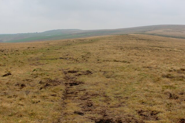
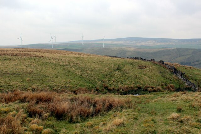
The plantation is primarily composed of dense forests, with a variety of tree species such as oak, beech, and pine dominating the landscape. These trees provide a thriving habitat for numerous wildlife species including deer, birds, and small mammals.
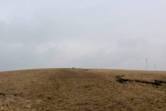
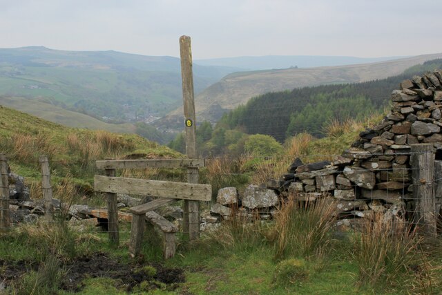
Visitors to Chatham Hill Plantation can enjoy a range of recreational activities, from hiking and walking along the numerous trails that meander through the woodland, to mountain biking and horseback riding. The plantation offers a well-maintained network of paths and tracks, catering to all levels of fitness and outdoor experience.
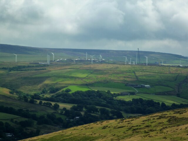
The plantation also boasts several picnic areas and designated camping spots, allowing visitors to immerse themselves in the peaceful surroundings and spend quality time with family and friends. Additionally, there are several viewpoints and lookout spots that offer breathtaking views of the Lancashire countryside.
Chatham Hill Plantation is managed by the local authorities, who work diligently to preserve and protect this natural treasure. The plantation serves as an important site for conservation efforts, with ongoing initiatives to maintain the ecosystem and protect the diverse flora and fauna found within its boundaries.
Overall, Chatham Hill Plantation offers a wonderful opportunity for individuals to reconnect with nature, explore the beauty of Lancashire, and enjoy a range of outdoor activities in a tranquil and scenic setting.
If you have any feedback on the listing, please let us know in the comments section below.
Chatham Hill Plantation Images
Images are sourced within 2km of 53.735316/-2.1579366 or Grid Reference SD8926. Thanks to Geograph Open Source API. All images are credited.


Chatham Hill Plantation is located at Grid Ref: SD8926 (Lat: 53.735316, Lng: -2.1579366)
Administrative County: Lancashire
District: Burnley
Police Authority: Lancashire
What 3 Words
///sprinkler.structure.spoils. Near Cornholme, West Yorkshire
Nearby Locations
Related Wikis

Portsmouth (Lancs) railway station
Portsmouth railway station was on the Copy Pit line and served the village of Portsmouth, which was part of Lancashire, before being incorporated into...

Portsmouth, West Yorkshire
Portsmouth is a village on the A646 road in the Calderdale district, in the county of West Yorkshire, England. Nearby settlements include the towns of...

Cornholme
Cornholme is a village near Todmorden, in the metropolitan borough of Calderdale, in West Yorkshire, England. It lies at the edge of Calderdale, on the...

Hill Top Colliery
The Hill Top Colliery in Sharneyford between Bacup and Todmorden was, until 2014, the last coal mine still in operation in Lancashire. == Foundation... ==

Pudsey, Calderdale
Pudsey is a neighbourhood in the village of Cornholme, Calderdale, West Yorkshire, England. It is near the town of Todmorden and the A646 Burnley Road...

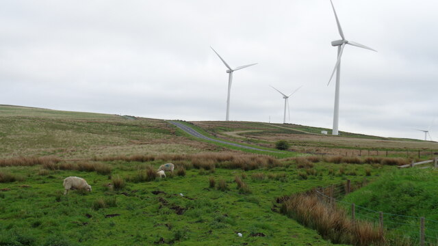
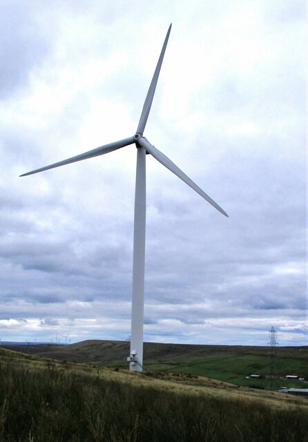
Coal Clough Wind Farm
Coal Clough Wind Farm is one of the oldest onshore wind farms in England. The wind farm, which was built for Scottish Power, produced electricity from...
Cornholme railway station
Cornholme railway station served the village of Cornholme in West Yorkshire, England on the Copy Pit line. The station was opened by the Lancashire and...

Holme Hall, Cliviger
Holme Hall (or The Holme) is a Grade II* listed manor house in Cliviger near Burnley, in Lancashire, England. The house dates back to at least the 15th...
Nearby Amenities
Located within 500m of 53.735316,-2.1579366Have you been to Chatham Hill Plantation?
Leave your review of Chatham Hill Plantation below (or comments, questions and feedback).