Westfield Bog Plantation

Wood, Forest in Northumberland

England

Westfield Bog Plantation

Flodden Battlefield Monument (1513), Northumberland The Battle of Flodden, Flodden Field, or occasionally Branxton, was a battle fought on 9 September 1513 during the War of the League of Cambrai between the Kingdom of England and the Kingdom of Scotland, resulting in an English victory. The battle was fought near Branxton in the county of Northumberland in northern England, between an invading Scots army under King James IV and an English army commanded by the Earl of Surrey. In terms of troop numbers, it was the largest battle fought between the two kingdoms.

<span class="nowrap"><a title="https://en.wikipedia.org/wiki/Battle_of_Flodden" rel="nofollow ugc noopener" href="https://en.wikipedia.org/wiki/Battle_of_Flodden">Link</a><img style="margin-left:2px;" alt="External link" title="External link - shift click to open in new window" src="https://s1.geograph.org.uk/img/external.png" width="10" height="10"/></span>
Flodden Battlefield Monument (1513), Northumberland Credit: Brian Deegan

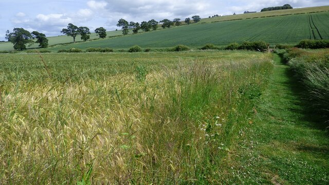
Westfield Bog Plantation is a captivating woodland located in Northumberland, England. This 200-acre site is renowned for its stunning natural beauty and diverse flora and fauna. The plantation primarily consists of a dense forest, characterized by a mix of deciduous and coniferous trees, creating a picturesque landscape throughout the year.

One of the notable features of Westfield Bog Plantation is its bog habitat, which is a unique ecosystem formed by the accumulation of peat moss and other organic materials. This wetland environment supports a wide range of plant species, including sphagnum mosses, heathers, and carnivorous plants such as sundews and bladderworts. The bog is also home to several rare and endangered species, making it a significant conservation area.

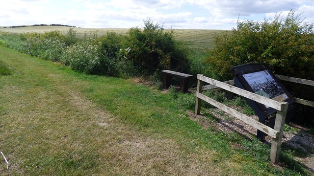
Visitors to Westfield Bog Plantation can enjoy various recreational activities, such as hiking, birdwatching, and photography. The woodland provides an extensive network of well-maintained trails, allowing visitors to explore its different sections and discover its natural wonders. The plantation is especially popular among bird enthusiasts, as it attracts a diverse array of avian species, including woodpeckers, owls, and warblers.

Westfield Bog Plantation is not only a haven for wildlife but also a valuable carbon sink, playing a vital role in mitigating climate change. The dense vegetation and the peat bog help store and sequester carbon dioxide, contributing to efforts to combat global warming.

In summary, Westfield Bog Plantation is a captivating woodland in Northumberland, offering a unique blend of diverse habitats, recreational opportunities, and ecological significance. Whether for nature lovers, hikers, or conservationists, this woodland is a must-visit destination for anyone seeking to immerse themselves in the beauty of the natural world.

If you have any feedback on the listing, please let us know in the comments section below.

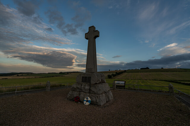
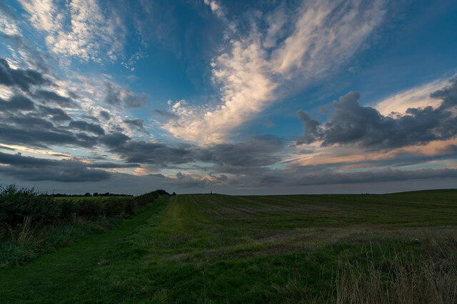
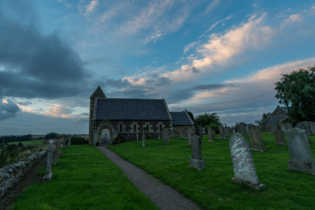
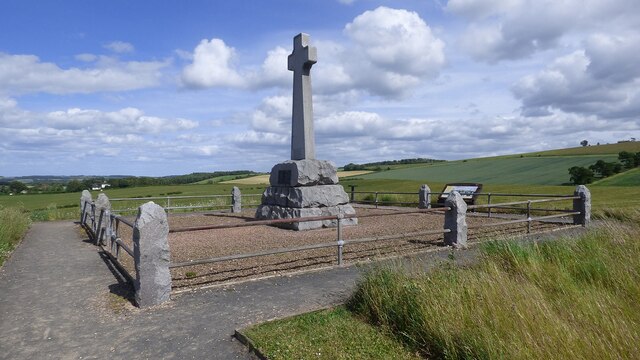
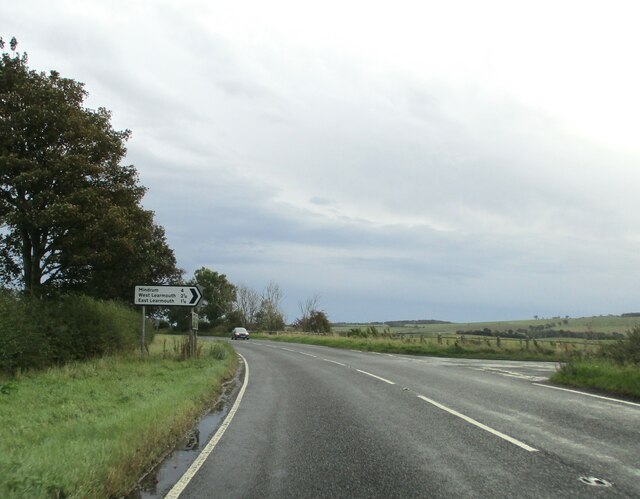
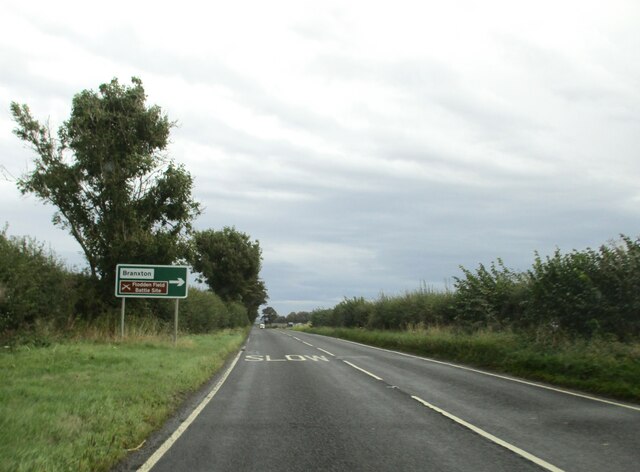
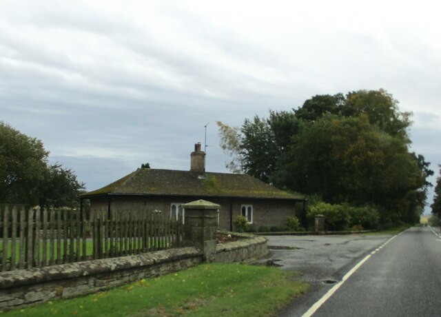
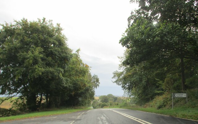
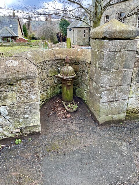
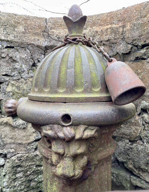
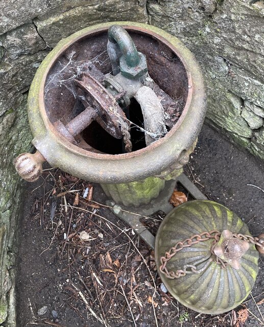
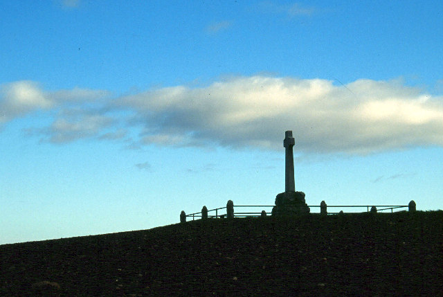
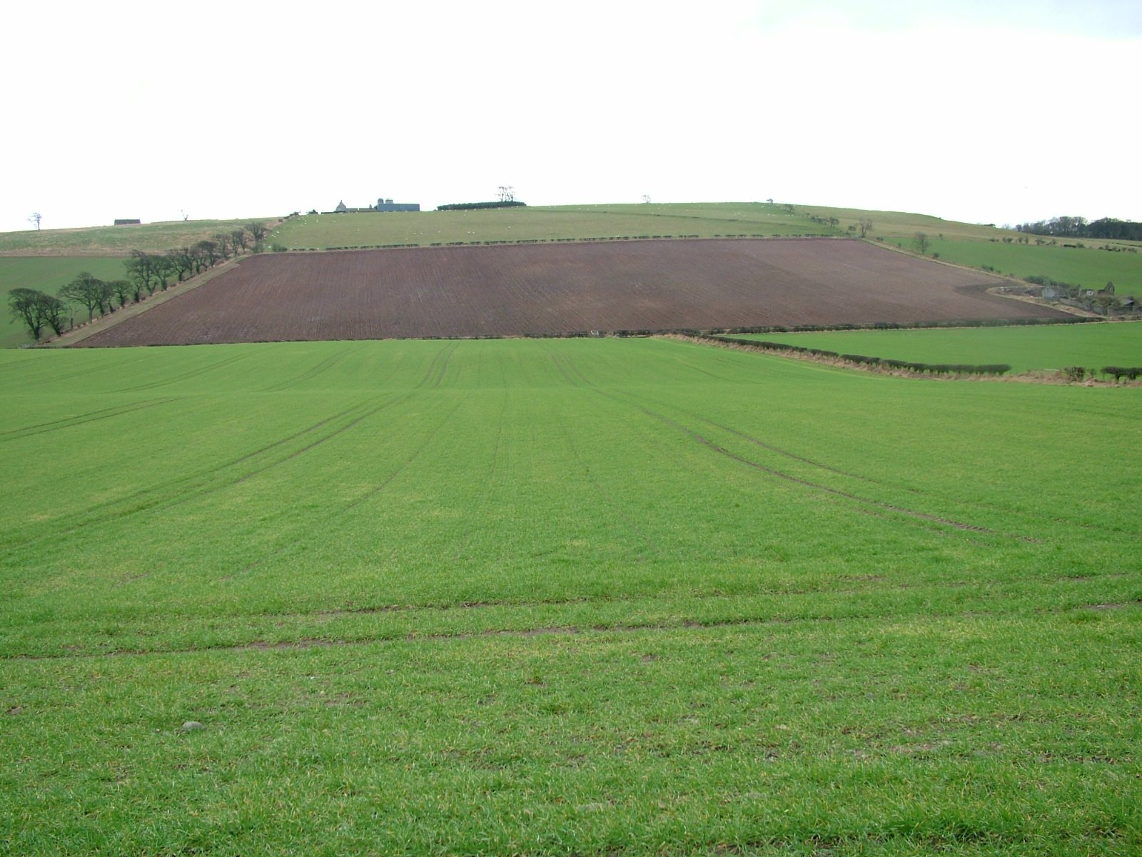
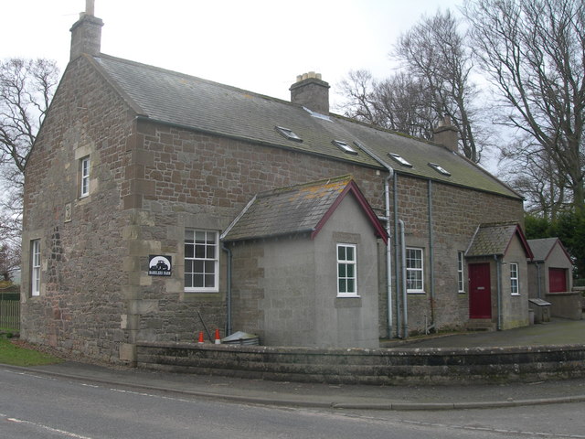
Westfield Bog Plantation Images

Images are sourced within 2km of 55.637049/-2.1655258 or Grid Reference NT8938. Thanks to Geograph Open Source API. All images are credited.

Flodden Battlefield Monument (1513), Northumberland The Battle of Flodden, Flodden Field, or occasionally Branxton, was a battle fought on 9 September 1513 during the War of the League of Cambrai between the Kingdom of England and the Kingdom of Scotland, resulting in an English victory. The battle was fought near Branxton in the county of Northumberland in northern England, between an invading Scots army under King James IV and an English army commanded by the Earl of Surrey. In terms of troop numbers, it was the largest battle fought between the two kingdoms.

<span class="nowrap"><a title="https://en.wikipedia.org/wiki/Battle_of_Flodden" rel="nofollow ugc noopener" href="https://en.wikipedia.org/wiki/Battle_of_Flodden">Link</a><img style="margin-left:2px;" alt="External link" title="External link - shift click to open in new window" src="https://s1.geograph.org.uk/img/external.png" width="10" height="10"/></span>
Flodden Battlefield Monument (1513), Northumberland
The Battle of Flodden, Flodden Field, or occasionally Branxton, was a battle fought on 9 September 1513 during the War of the League of Cambrai between the Kingdom of England and the Kingdom of Scotland, resulting in an English victory. The battle was fought near Branxton in the county of Northumberland in northern England, between an invading Scots army under King James IV and an English army commanded by the Earl of Surrey. In terms of troop numbers, it was the largest battle fought between the two kingdoms. LinkExternal link
Battle Ground Flodden (1513) Looking back up the hill to the monument. This would have been marsh ground and very difficult to cross.
Battle Ground Flodden (1513)
Looking back up the hill to the monument. This would have been marsh ground and very difficult to cross.
St Paul's Church, Branxton
Battle of Flodden Field Monument <span class="nowrap"><a title="https://www.flodden1513ecomuseum.org/places/local/flodden-field" rel="nofollow ugc noopener" href="https://www.flodden1513ecomuseum.org/places/local/flodden-field">Link</a><img style="margin-left:2px;" alt="External link" title="External link - shift click to open in new window" src="https://s1.geograph.org.uk/img/external.png" width="10" height="10"/></span>
Battle of Flodden Field Monument
Flodden Field Where barley now grows there once was a bog that swallowed up an army.
Flodden Field
Where barley now grows there once was a bog that swallowed up an army.
Flodden Field At this spot James IV of Scotland was killed.
Flodden Field
At this spot James IV of Scotland was killed.
Branxton. Northumberland St Paul's Church, Branxton.
Branxton. Northumberland
St Paul's Church, Branxton.
Stock Law, Northumberland Looking southeast across Stock Law. In the distance can be seen the Flodden Field Memorial.
Stock Law, Northumberland
Looking southeast across Stock Law. In the distance can be seen the Flodden Field Memorial.
Minor  road  junction  on  A697  to  Mindrun
Minor road junction on A697 to Mindrun
Approaching  Branxton  turn  on  A697
Approaching Branxton turn on A697
Farming  complex  at  Crookham  Westfield
Farming complex at Crookham Westfield
Access  track  to  Cookstead  farm From A697
Access track to Cookstead farm
From A697
East  Lodge  for  Pallinsburn  House From A697 southbound
East Lodge for Pallinsburn House
From A697 southbound
Access  road  to  Crookham  Eastfield  farm  from  A697
Access road to Crookham Eastfield farm from A697
Cast iron village water pillar Complete with attached cup but not functioning; the handle is seized up. Same design as the one in Branxton and similar to ones in  Cropton, North Yorkshire.

<a href="https://www.geograph.org.uk/photo/3987860">NT8937 : Drinking Fountain</a>

<a href="https://www.geograph.org.uk/photo/2368160">SE7588 : Old pump and water trough</a>
Cast iron village water pillar
Complete with attached cup but not functioning; the handle is seized up. Same design as the one in Branxton and similar to ones in Cropton, North Yorkshire. NT8937 : Drinking Fountain SE7588 : Old pump and water trough
Cast iron village water pillar Complete with attached cup but not functioning; the handle is seized up.  It's actually a self closing tap rather than a pump, designed to deliver water from a pressurised supply.  Grade II listed, manufactured by Glenfield and Kennedy of Kilmarnock.  See also

<a href="https://www.geograph.org.uk/photo/7434916">NT9138 : Cast iron village water pillar</a>
Cast iron village water pillar
Complete with attached cup but not functioning; the handle is seized up. It's actually a self closing tap rather than a pump, designed to deliver water from a pressurised supply. Grade II listed, manufactured by Glenfield and Kennedy of Kilmarnock. See also NT9138 : Cast iron village water pillar
Cast iron village water pillar The inner workings of the pillar.  It's simply a tap on the mains water supply.  A weight on the end of the chain turns it off automatically when the rotated tap handle is released.  Sadly this one is not connected to water any more .
Cast iron village water pillar
The inner workings of the pillar. It's simply a tap on the mains water supply. A weight on the end of the chain turns it off automatically when the rotated tap handle is released. Sadly this one is not connected to water any more .
Flodden Memorial This monument commemorates the Battle of Flodden Field in 1513.
Flodden Memorial
This monument commemorates the Battle of Flodden Field in 1513.
Show me another place!

Westfield Bog Plantation is located at Grid Ref: NT8938 (Lat: 55.637049, Lng: -2.1655258)

Unitary Authority: Northumberland

Police Authority: Northumbria

What 3 Words

///cemented.proofread.goose. Near Ford, Northumberland

Related Wikis

Branxton, Northumberland

Branxton is a village and civil parish in northern Northumberland, England. It lies about 3 miles (5 km) from the England-Scotland border and about 4 miles...

Pallinsburn House

Pallinsburn House is an 18th-century country house situated at Ford, Northumberland. It is a Grade II* listed building. The house was built about 1763...

Battle of Flodden

The Battle of Flodden, Flodden Field, or occasionally Branxton or Brainston Moor was a battle that was fought on 9 September 1513 during the War of the...

Crookham, Northumberland

Crookham is a village on the River Till in Northumberland, in England. It is situated approximately 8 km (5.0 mi) to the east of Coldstream and 14 km...

Bareless

Bareless is a village in Northumberland, England. == Governance == Bareless is in the parliamentary constituency of Berwick-upon-Tweed. == References ==

Barelees Pond

Barelees Pond is the name given to a Site of Special Scientific Interest (SSSI) in north Northumberland, England. The site is a kettle hole, a deep pond...

Etal Castle

Etal Castle is a ruined medieval fortification in the village of Etal, Northumberland, England. It was built around 1341 by Robert Manners, and comprised...

Etal, Northumberland

Etal ( EE-təl) is a small village in the far north of the county of Northumberland, England, in the civil parish of Ford. It lies on a bridging point of...

Nearby Amenities

Located within 500m of 55.637049,-2.1655258
Addr Housename: Old School
Lat/Long: 55.6327734/-2.1670011
Direction: SW
Generator Method: photovoltaic
Generator Output Electricity: yes
Generator Solar Modules: 4
Generator Source: solar
Generator Type: solar_photovoltaic_panel
Location: roof
Power: generator
Lat/Long: 55.632992/-2.1675394
Direction: SE
Generator Method: photovoltaic
Generator Output Electricity: yes
Generator Solar Modules: 10
Generator Source: solar
Generator Type: solar_photovoltaic_panel
Location: roof
Power: generator
Lat/Long: 55.6329735/-2.1674053
The data included in this document is from www.openstreetmap.org. The data is made available under ODbL.

Have you been to Westfield Bog Plantation?

Leave your review of Westfield Bog Plantation below (or comments, questions and feedback).