Henshaw Cleugh
Valley in Northumberland
England
Henshaw Cleugh

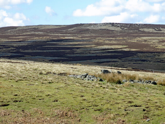
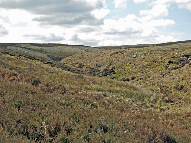
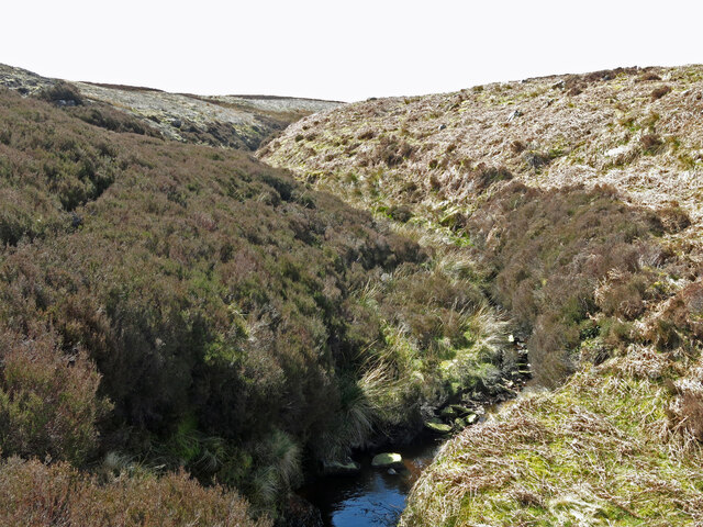
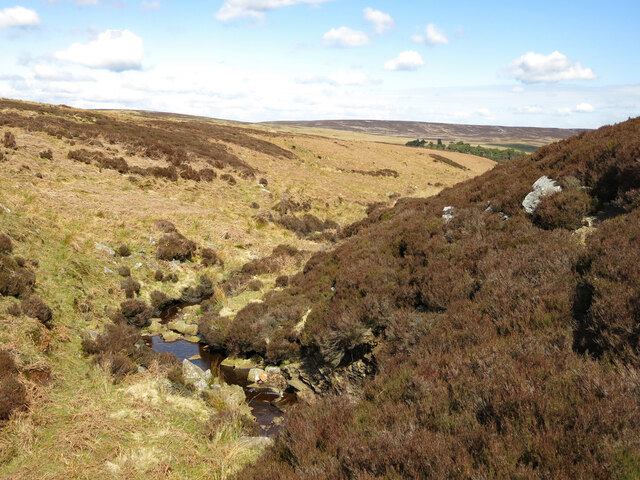
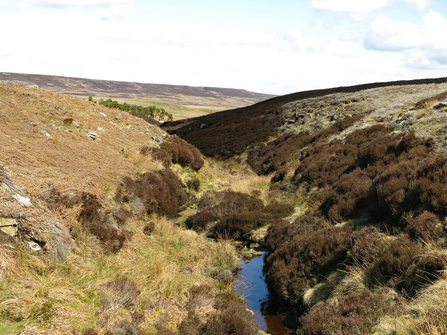
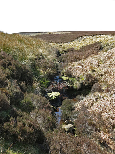
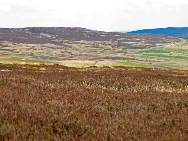
Henshaw Cleugh is a picturesque valley located in Northumberland, England. Nestled amidst breathtaking natural surroundings, this scenic landscape is renowned for its captivating beauty and tranquil atmosphere.
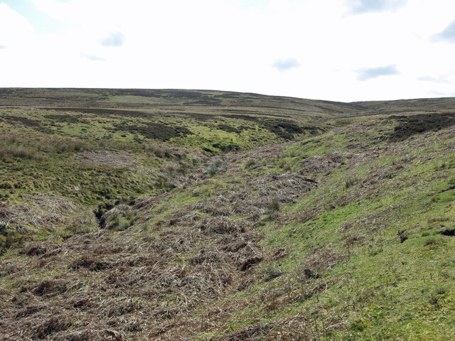
Situated in the northern part of Northumberland, Henshaw Cleugh is characterized by its rolling hills, lush green meadows, and sparkling streams that flow through the valley. The area is dotted with charming stone cottages and farmhouses, adding to its idyllic charm.
The valley is a haven for nature enthusiasts and outdoor adventurers. It provides numerous opportunities for hiking, walking, and cycling, with a network of well-maintained trails that crisscross through the valley. The diverse wildlife and flora of Henshaw Cleugh also make it an excellent spot for birdwatching and nature photography.
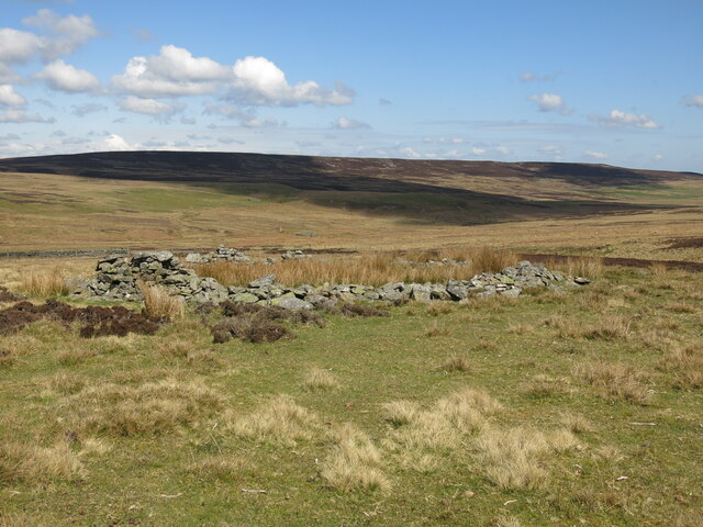
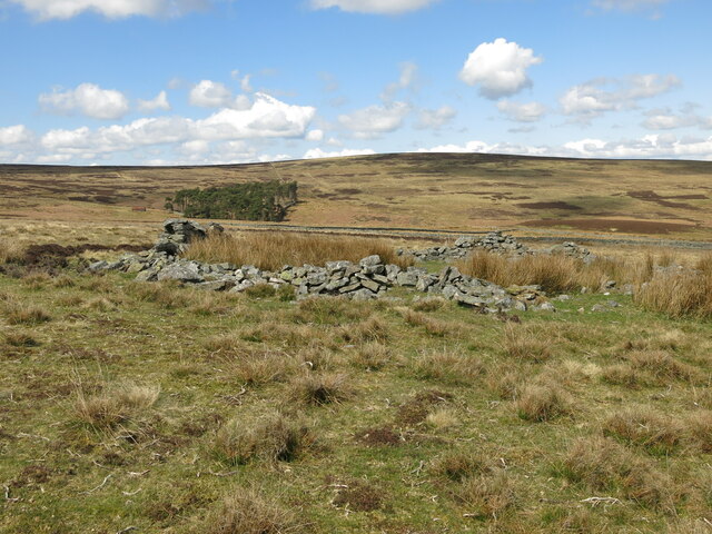
In addition to its natural beauty, Henshaw Cleugh is also home to several historical landmarks. The remains of an ancient Roman fort can be found in the valley, offering a glimpse into the area's rich history. The nearby village of Henshaw boasts a quaint church, believed to date back to the 12th century, further adding to the historical significance of the area.
Visitors to Henshaw Cleugh can enjoy a peaceful escape from the hustle and bustle of city life. The valley offers a serene and tranquil retreat, where one can unwind amidst stunning natural scenery and immerse themselves in the beauty of Northumberland's countryside.
If you have any feedback on the listing, please let us know in the comments section below.
Henshaw Cleugh Images
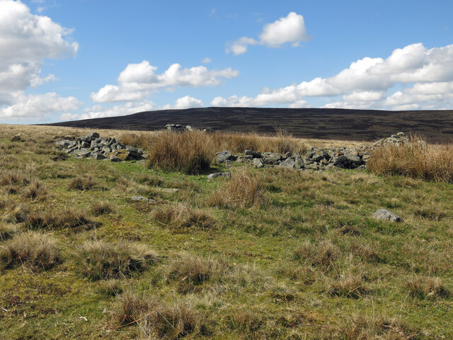
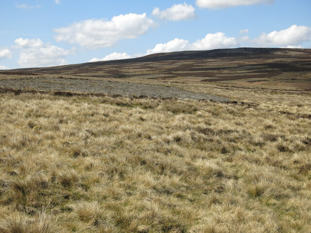
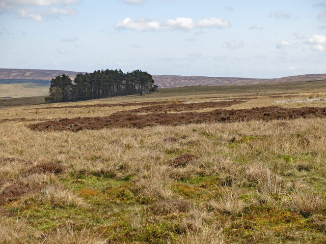
Images are sourced within 2km of 54.835539/-2.1850641 or Grid Reference NY8848. Thanks to Geograph Open Source API. All images are credited.


Henshaw Cleugh is located at Grid Ref: NY8848 (Lat: 54.835539, Lng: -2.1850641)
Unitary Authority: Northumberland
Police Authority: Northumbria
What 3 Words
///monument.heckler.tuck. Near Slaley, Northumberland
Nearby Locations
Related Wikis

Hexhamshire Moors
Hexhamshire Moors is a Site of Special Scientific Interest covering an extensive area of moorland in the Wear Valley district of north-west County Durham...

Allenheads
Allenheads is a former mining village in the Pennines to the north of Weardale in Northumberland, England. Lead extraction was the settlement's industry...

Sinderhope
Sinderhope is a hamlet situated on the east Allen Valley in south-west Northumberland. The population is spread over farms in an area approximately 25...

Acton, Northumberland
Acton is a small hamlet in Northumberland, north-east England, about 3 miles (5 km) south of Allendale Town. Acton is usually Anglo-Saxon Old English...
Nearby Amenities
Located within 500m of 54.835539,-2.1850641Have you been to Henshaw Cleugh?
Leave your review of Henshaw Cleugh below (or comments, questions and feedback).