Western Meadows
Downs, Moorland in Northumberland
England
Western Meadows
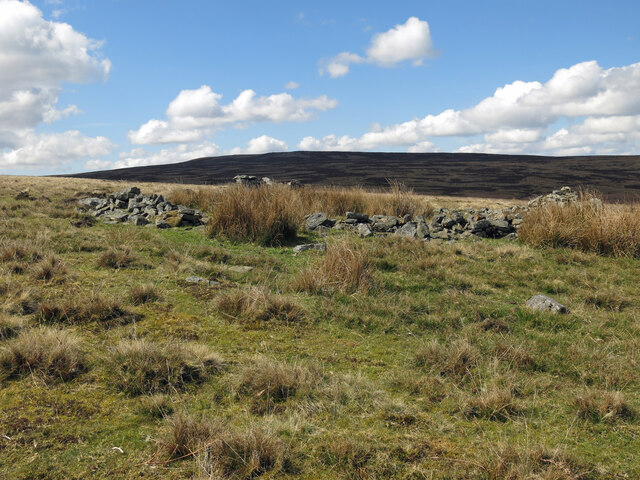
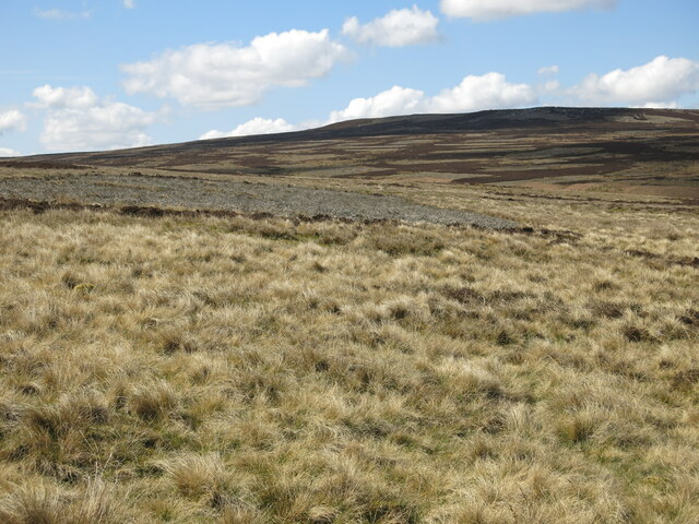
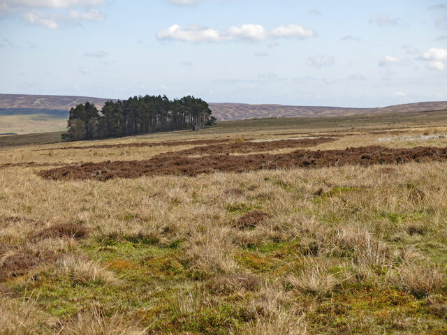
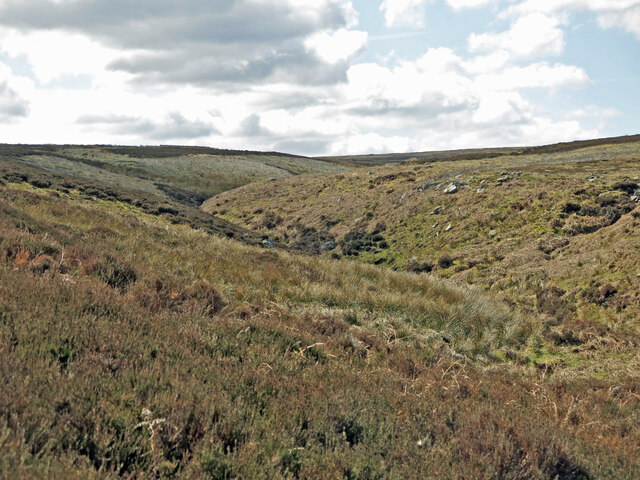
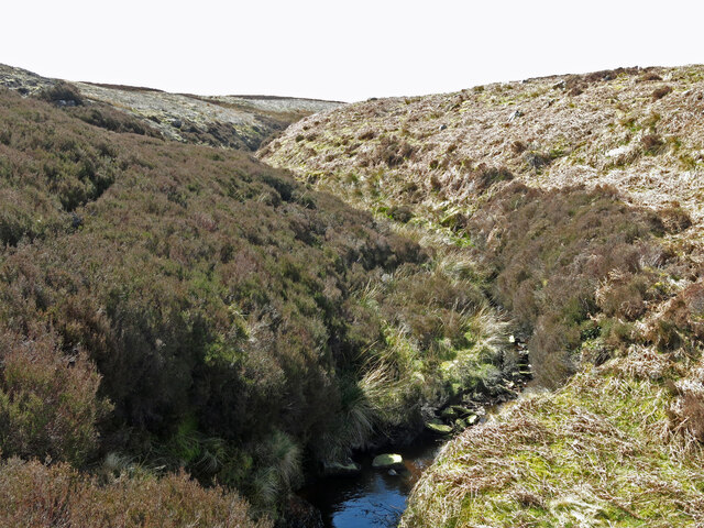
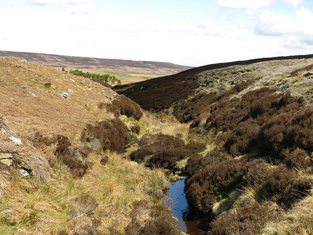
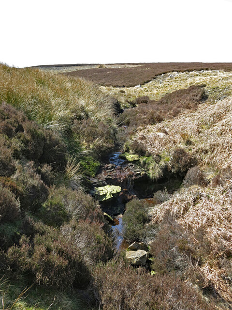
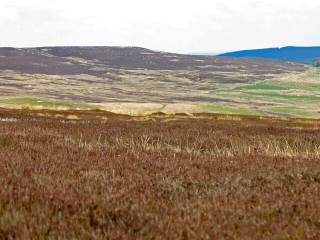
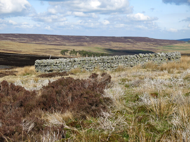
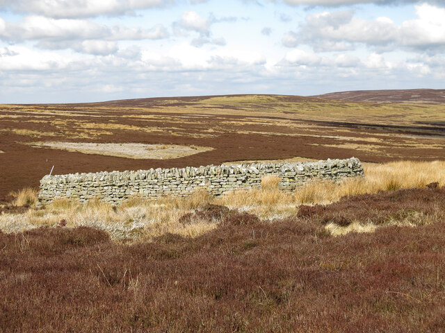
Western Meadows is a picturesque area located in the Northumberland region of England. It is known for its diverse landscape, which includes downs, moorland, and beautiful meadows.
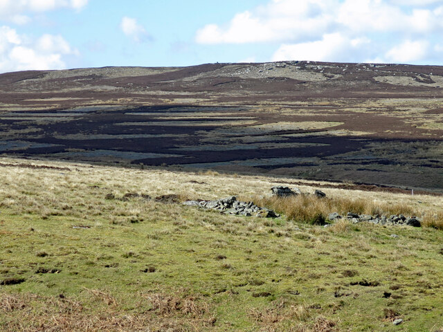
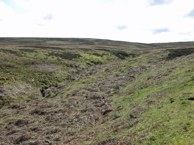
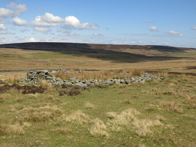
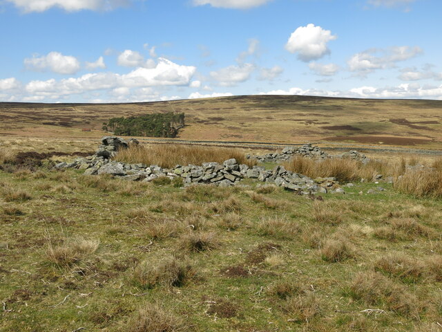
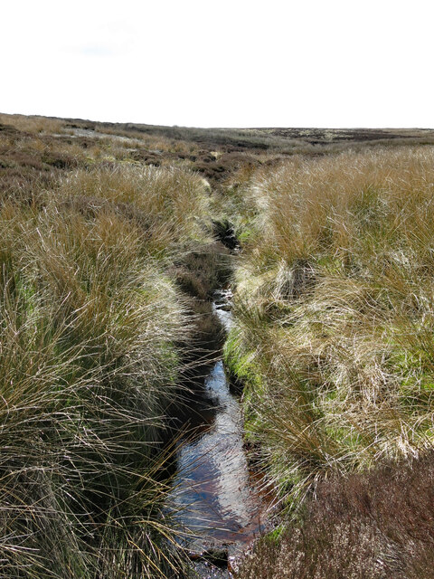
The downs in Western Meadows are characterized by their rolling hills and expansive grasslands. They provide breathtaking panoramic views of the surrounding countryside and are ideal for leisurely walks and picnics. The meadows, on the other hand, are a haven for wildlife and are often dotted with wildflowers, creating a colorful and vibrant atmosphere. Visitors can enjoy the tranquility of these meadows while observing a variety of birds and small mammals.
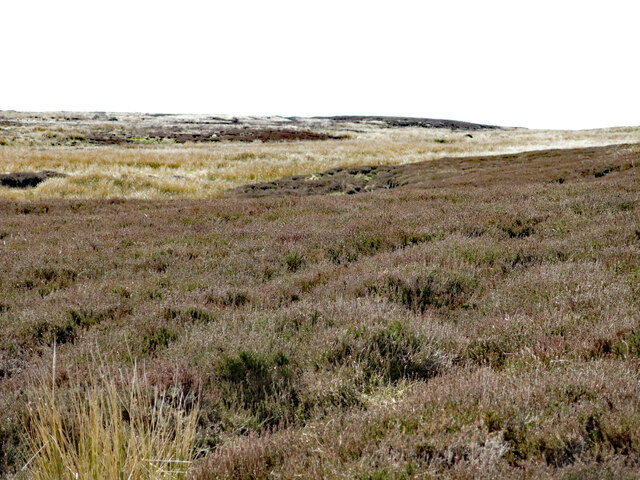
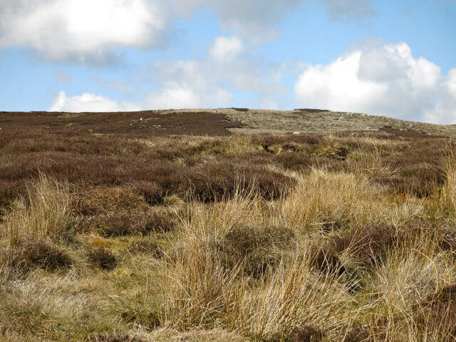
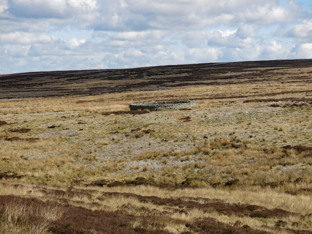
The moorland in Western Meadows offers a unique and rugged beauty. This area is covered in heather and bracken, giving it a rich purple hue during the summer months. The moors are also home to a wide range of wildlife, including rare bird species such as curlews and lapwings.
Western Meadows is a popular destination for outdoor enthusiasts due to its numerous walking and hiking trails. These trails offer something for everyone, from easy strolls through the meadows to more challenging hikes in the moorland. The area is also crisscrossed with well-maintained cycling routes, allowing visitors to explore the landscape on two wheels.
In addition to its natural beauty, Western Meadows is also known for its historical significance. The area is dotted with ancient ruins, including prehistoric stone circles and Roman forts, providing a glimpse into the region's rich past.
Overall, Western Meadows is a stunning and diverse landscape that offers visitors the perfect opportunity to connect with nature and explore the history of Northumberland.
If you have any feedback on the listing, please let us know in the comments section below.
Western Meadows Images
Images are sourced within 2km of 54.831126/-2.1737111 or Grid Reference NY8848. Thanks to Geograph Open Source API. All images are credited.
Western Meadows is located at Grid Ref: NY8848 (Lat: 54.831126, Lng: -2.1737111)
Unitary Authority: Northumberland
Police Authority: Northumbria
What 3 Words
///superhero.asset.protected. Near Slaley, Northumberland
Nearby Locations
Related Wikis

Hexhamshire Moors
Hexhamshire Moors is a Site of Special Scientific Interest covering an extensive area of moorland in the Wear Valley district of north-west County Durham...

Allenheads
Allenheads is a former mining village in the Pennines to the north of Weardale in Northumberland, England. Lead extraction was the settlement's industry...

Sinderhope
Sinderhope is a hamlet situated on the east Allen Valley in south-west Northumberland. The population is spread over farms in an area approximately 25...

Beldon Burn
Beldon Burn is a headwater stream of the River Derwent in Northumberland and County Durham, England.It rises at Quickcleugh Moss as the Quickcleugh Burn...

Townfield
Townfield is a village in County Durham, in England. It is situated just to the south of Hunstanworth and part of that parish, about 10 miles (16 km) west...
Acton, Northumberland
Acton is a small hamlet in Northumberland, north-east England, about 3 miles (5 km) south of Allendale Town. Acton is usually Anglo-Saxon Old English...
Ramshaw, Consett
Ramshaw is a small village in County Durham, in England. It is situated to the south of Hunstanworth, a few miles west of Consett. Lead mining was an important...
Baybridge, Northumberland
Baybridge is a small village in Northumberland, England, just to the west of Blanchland and on the border with County Durham. It is situated to the west...
Nearby Amenities
Located within 500m of 54.831126,-2.1737111Have you been to Western Meadows?
Leave your review of Western Meadows below (or comments, questions and feedback).