Halleywell Fell
Downs, Moorland in Northumberland
England
Halleywell Fell
Halleywell Fell is a picturesque area located in the county of Northumberland, England. Situated in the northern part of the county, it is known for its stunning landscape, consisting of downs and moorland.
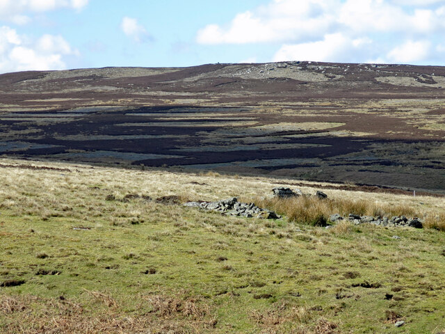
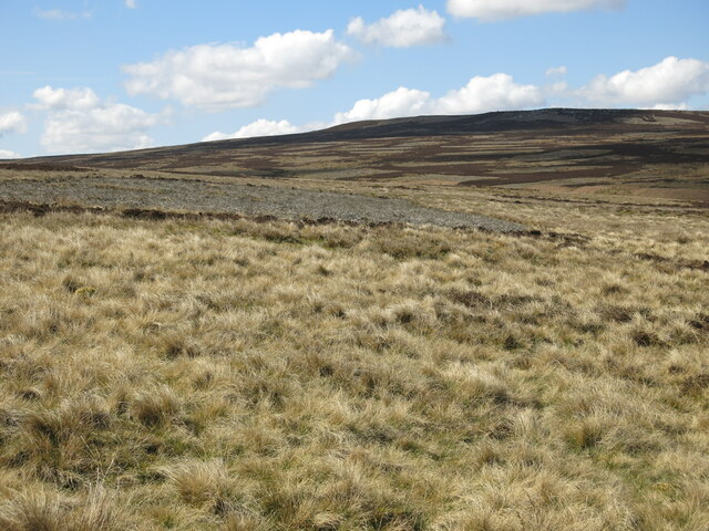
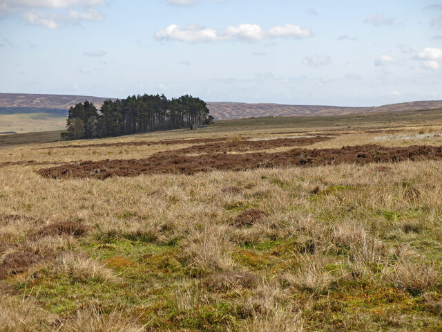
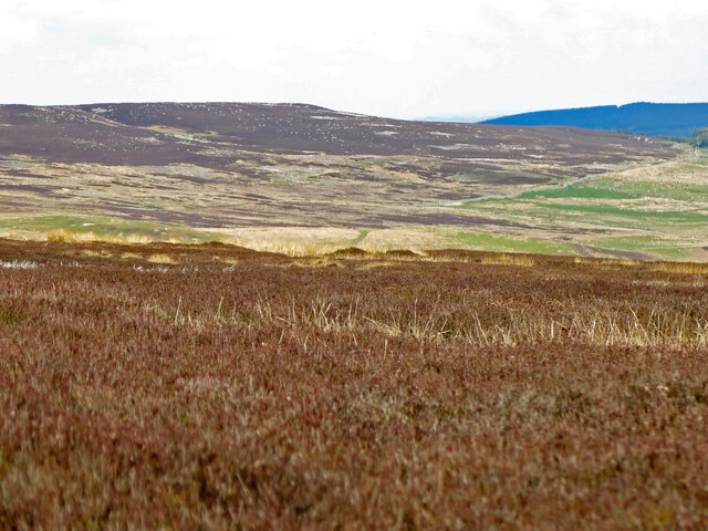
The downs of Halleywell Fell are characterized by their gently rolling hills and extensive grasslands. These open areas provide breathtaking panoramic views of the surrounding countryside, offering visitors a sense of tranquility and natural beauty. The downs are home to a diverse range of flora and fauna, including wildflowers, butterflies, and birds, making it a popular spot for nature enthusiasts and birdwatchers.
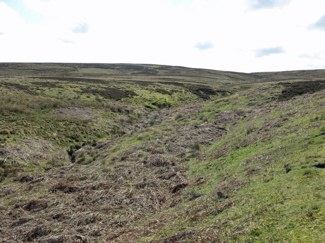
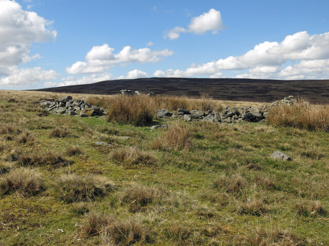
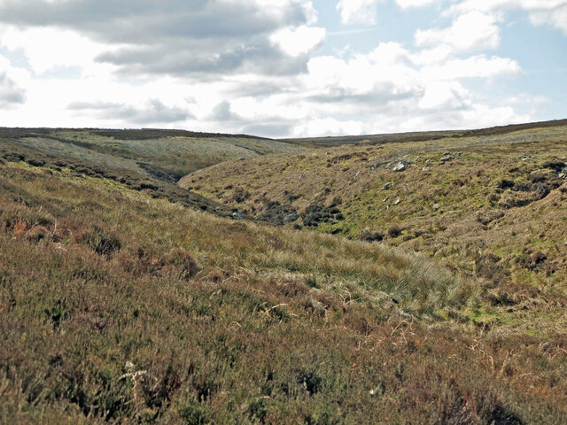
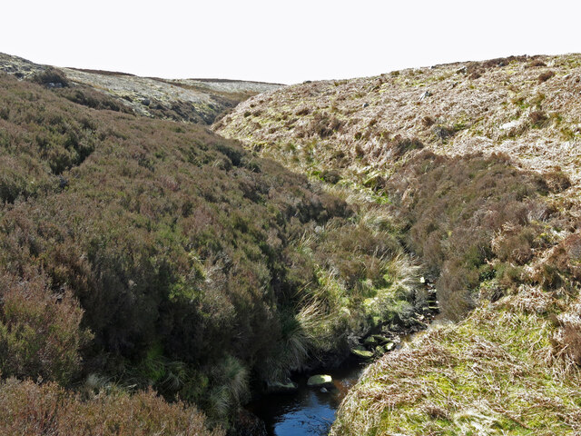
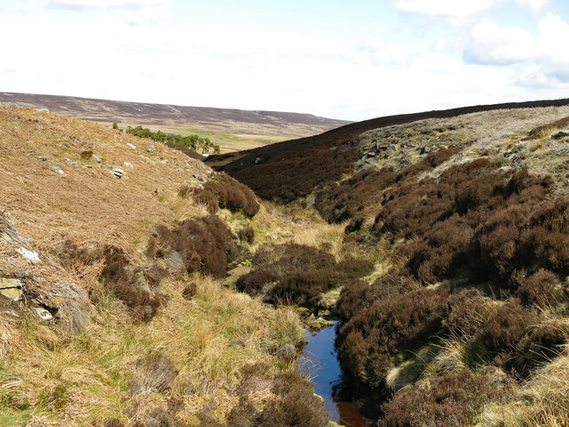
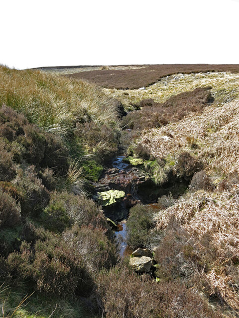
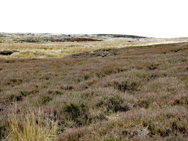
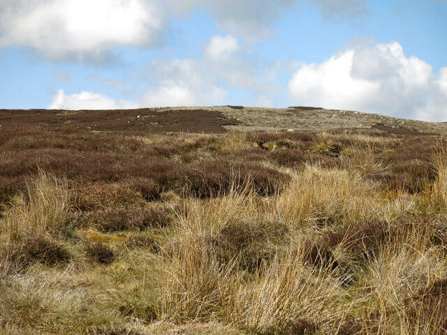
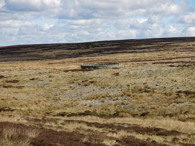
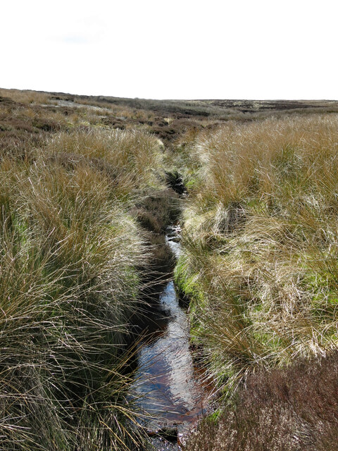
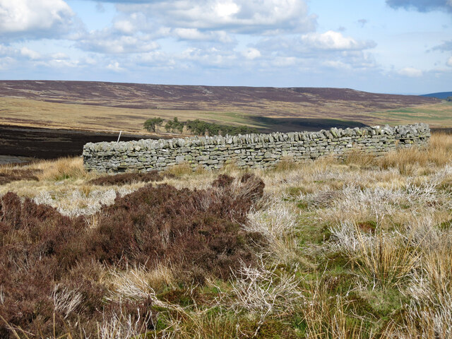
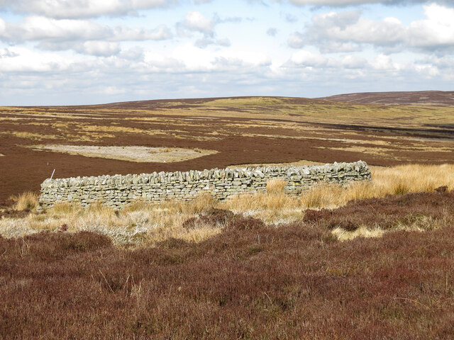
The moorland of Halleywell Fell is a rugged and wild terrain, marked by heather-covered hills and rocky outcrops. This unique landscape creates a stark and striking contrast to the downs, attracting hikers and outdoor adventurers. The moorland is traversed by numerous footpaths and trails, allowing visitors to explore its untamed beauty and discover hidden gems along the way.
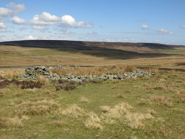
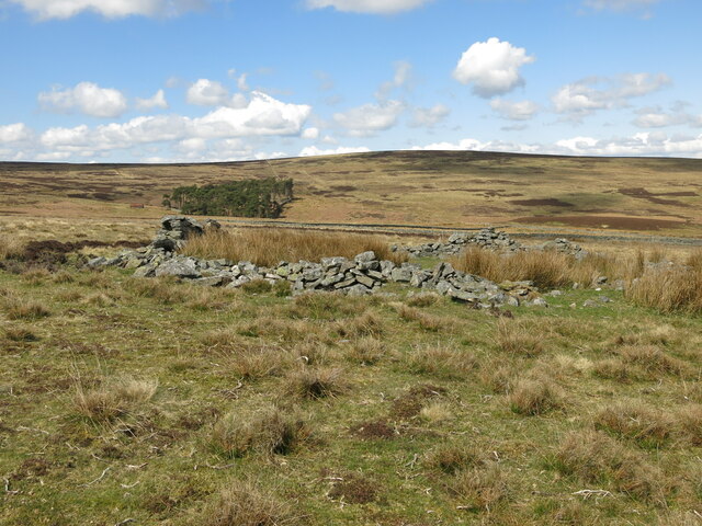
Halleywell Fell is also rich in history and cultural heritage. The area is dotted with ancient ruins, including prehistoric stone circles and burial mounds, providing a glimpse into the region's past. Additionally, the nearby villages surrounding the fell offer charming pubs, quaint cottages, and local shops, allowing visitors to experience the traditional Northumberland way of life.
Overall, Halleywell Fell in Northumberland is a captivating destination that combines natural beauty, outdoor exploration, and historical significance, making it a must-visit for those seeking an authentic and enriching experience in the heart of England's countryside.
If you have any feedback on the listing, please let us know in the comments section below.
Halleywell Fell Images
Images are sourced within 2km of 54.831108/-2.1737422 or Grid Reference NY8848. Thanks to Geograph Open Source API. All images are credited.
Halleywell Fell is located at Grid Ref: NY8848 (Lat: 54.831108, Lng: -2.1737422)
Unitary Authority: Northumberland
Police Authority: Northumbria
What 3 Words
///date.trickster.tapers. Near Slaley, Northumberland
Nearby Locations
Related Wikis

Hexhamshire Moors
Hexhamshire Moors is a Site of Special Scientific Interest covering an extensive area of moorland in the Wear Valley district of north-west County Durham...

Allenheads
Allenheads is a former mining village in the Pennines to the north of Weardale in Northumberland, England. Lead extraction was the settlement's industry...

Sinderhope
Sinderhope is a hamlet situated on the east Allen Valley in south-west Northumberland. The population is spread over farms in an area approximately 25...

Beldon Burn
Beldon Burn is a headwater stream of the River Derwent in Northumberland and County Durham, England.It rises at Quickcleugh Moss as the Quickcleugh Burn...
Nearby Amenities
Located within 500m of 54.831108,-2.1737422Have you been to Halleywell Fell?
Leave your review of Halleywell Fell below (or comments, questions and feedback).