Fairney Cleugh
Valley in Northumberland
England
Fairney Cleugh
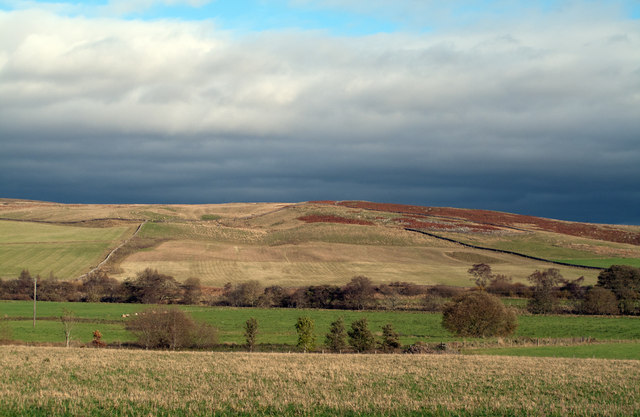
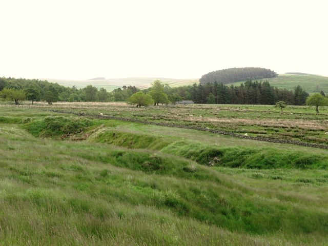
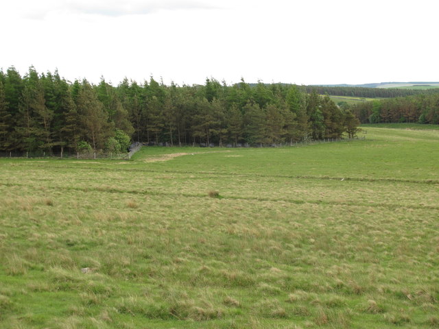
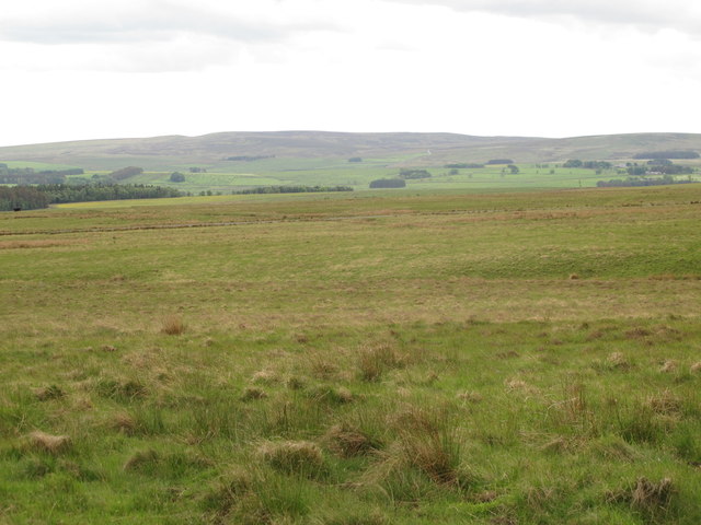
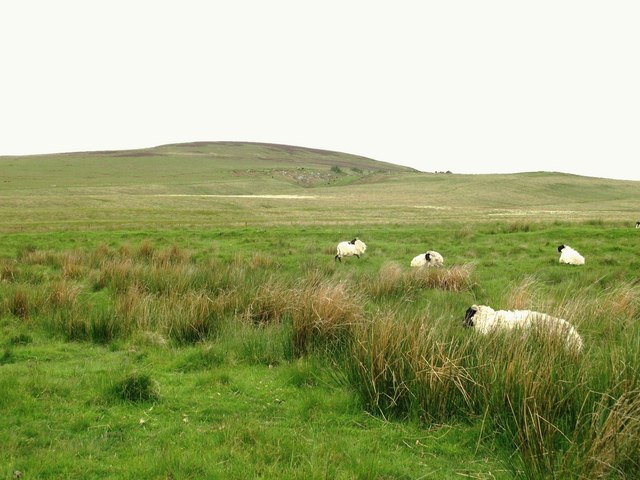
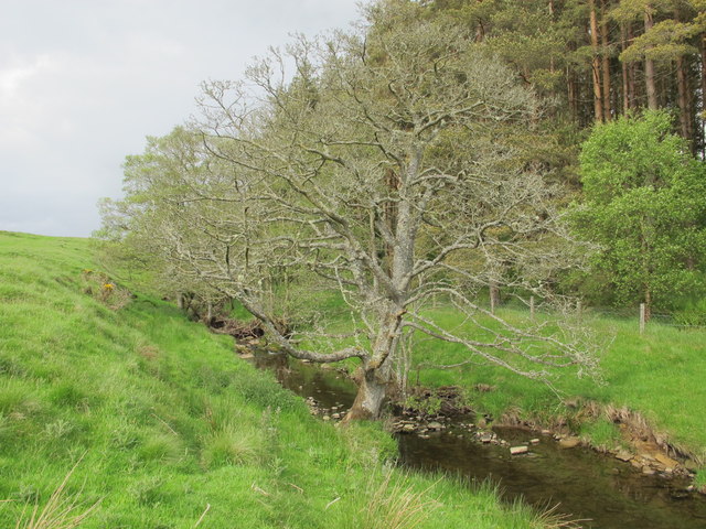
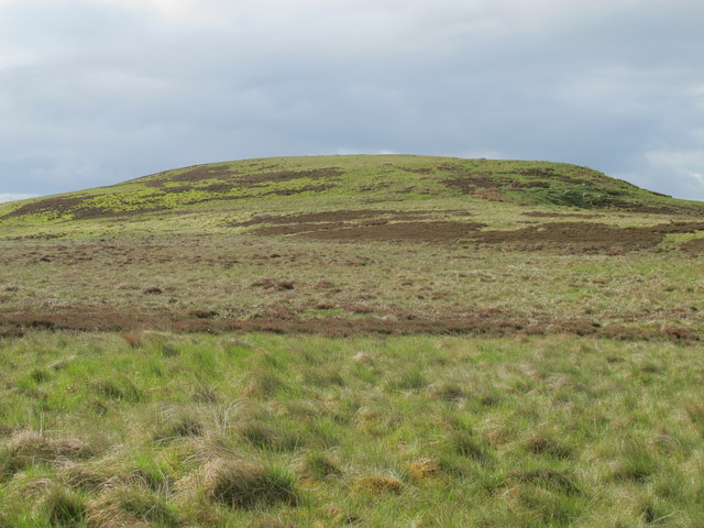
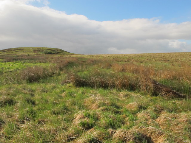
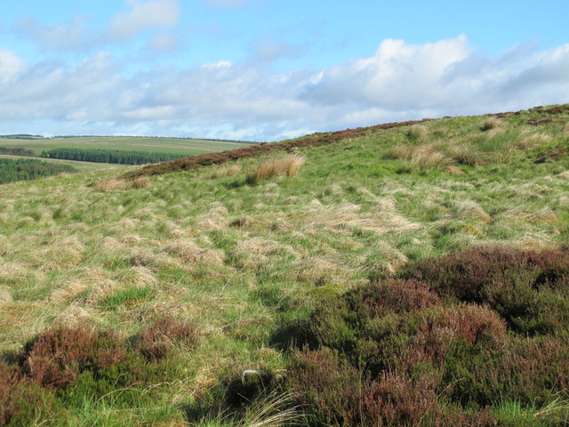
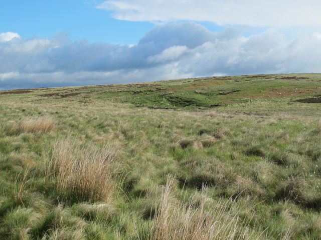
Fairney Cleugh is a picturesque valley located in the county of Northumberland, England. Situated in the northern part of the country, it is renowned for its stunning natural beauty and tranquil atmosphere. The valley is nestled between rolling hills and is characterized by its lush greenery, meandering streams, and abundant wildlife.
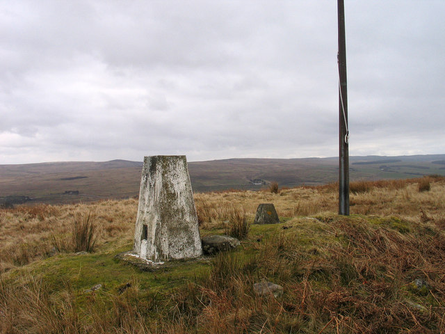
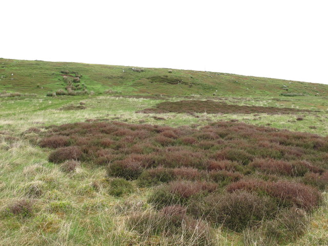
Fairney Cleugh is a haven for outdoor enthusiasts and nature lovers. The valley offers a myriad of walking and hiking trails, providing visitors with the opportunity to explore its enchanting landscapes and discover hidden gems along the way. The valley's diverse flora and fauna make it a popular destination for birdwatching and wildlife spotting.
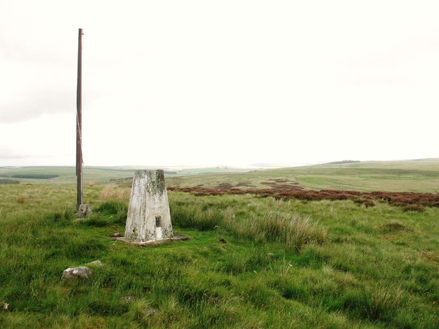
The region surrounding Fairney Cleugh is steeped in history and boasts numerous historical sites. The remains of an ancient cairn, believed to date back to the Bronze Age, can be found in the valley, offering a glimpse into the area's rich heritage. Additionally, there are several traditional villages nearby, where visitors can immerse themselves in the local culture and enjoy charming pubs and shops.
Fairney Cleugh is a place of serenity and tranquility, providing a welcome escape from the hustle and bustle of modern life. Whether it's exploring its natural wonders, delving into its history, or simply enjoying the peaceful surroundings, this Northumberland valley offers a truly unforgettable experience for all who visit.
If you have any feedback on the listing, please let us know in the comments section below.
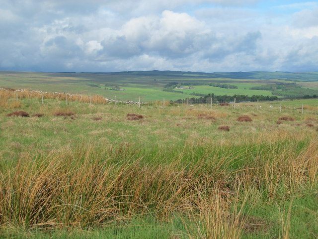
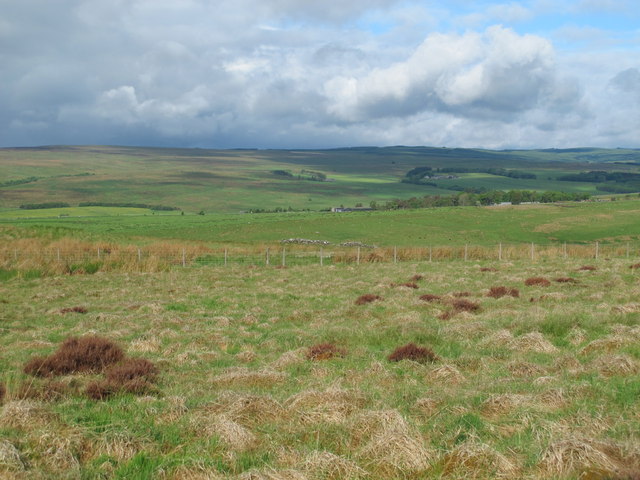
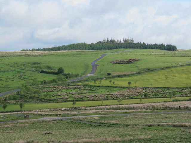
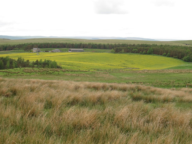
Fairney Cleugh Images
Images are sourced within 2km of 55.256104/-2.1872521 or Grid Reference NY8895. Thanks to Geograph Open Source API. All images are credited.
Fairney Cleugh is located at Grid Ref: NY8895 (Lat: 55.256104, Lng: -2.1872521)
Unitary Authority: Northumberland
Police Authority: Northumbria
What 3 Words
///flexibly.wedding.tornado. Near Otterburn, Northumberland
Nearby Locations
Related Wikis

Otterburn Hall
Otterburn Hall is an English country house and estate in Otterburn, Northumberland. It is situated in 500 acres (200 ha) of deer park and woodland in...
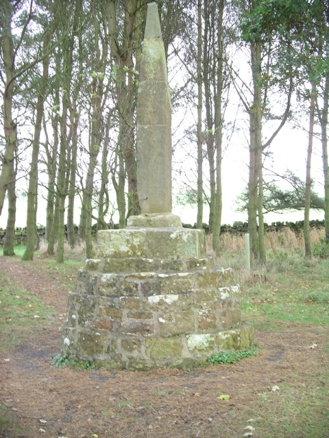
Percy Cross
The Percy Cross (also Battle Stone) is located just off the A696, 1 kilometre (0.62 mi) from Otterburn, Northumberland, England. It was erected before...
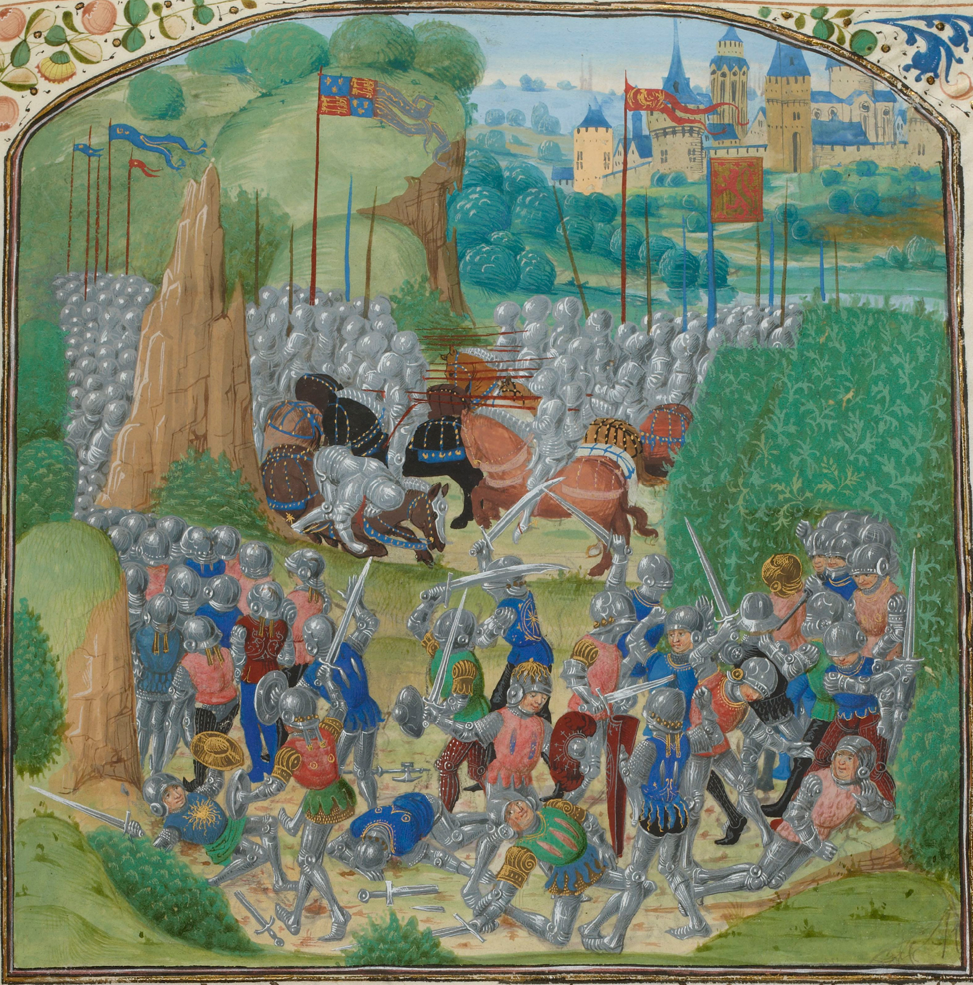
Battle of Otterburn
The Battle of Otterburn took place according to Scottish sources on 5 August 1388, or 19 August according to English sources, as part of the continuing...

Otterburn, Northumberland
Otterburn is a small village in Northumberland, England, 31 miles (50 km) northwest of Newcastle upon Tyne on the banks of the River Rede, near the confluence...
Related Videos

EP 23 Rochester to Chew Green - The Grand Tour of Northumberland
18th July 2020 Join me on my walk of historic Northumberland as I continue my hike. Packed full of history and beautiful scenery.


Short Walk up one of the hills in the Otterburn Ranges
A fantastic day on top of one of the Northumberland Dewey. Apologise for the wind noise.

STAYING IN A 5 STAR LUXURY LODGE | OTTERBURN LODGE DAY 1
Hi and welcome to our YouTube channel today's video is a vlog of our experience staying a 5 star luxury lodge. #hottubparty ...
Nearby Amenities
Located within 500m of 55.256104,-2.1872521Have you been to Fairney Cleugh?
Leave your review of Fairney Cleugh below (or comments, questions and feedback).