Hell Clough

Valley in Lancashire Burnley

England

Hell Clough

The Pennine Bridleway above Swinden Water The bridleway does a lot of zigzags both on this side and the other side of the valley.
The Pennine Bridleway above Swinden Water Credit: Bill Boaden

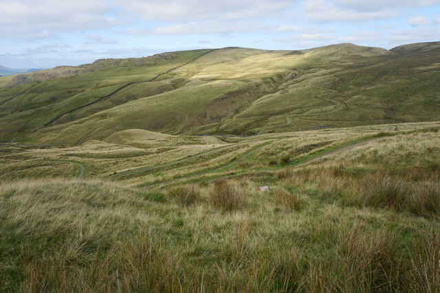
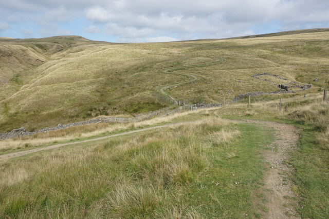
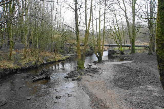
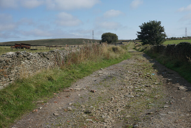
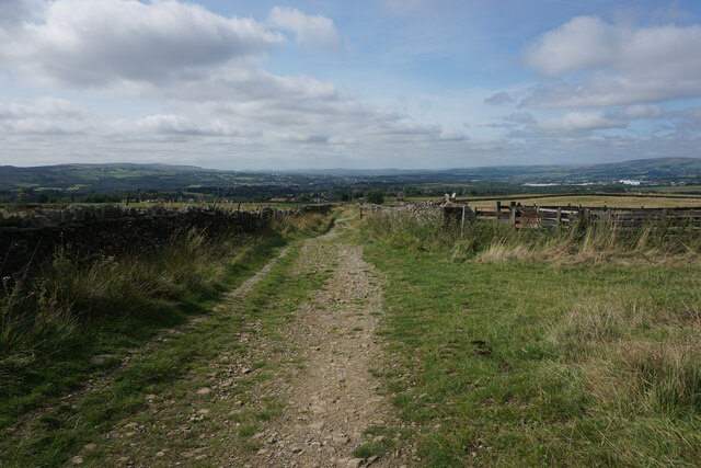
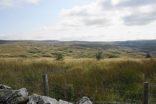
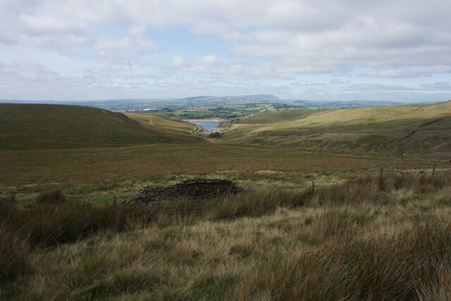
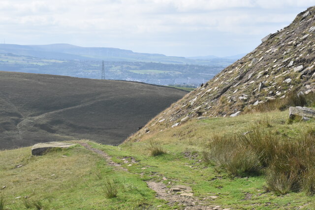
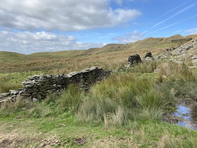
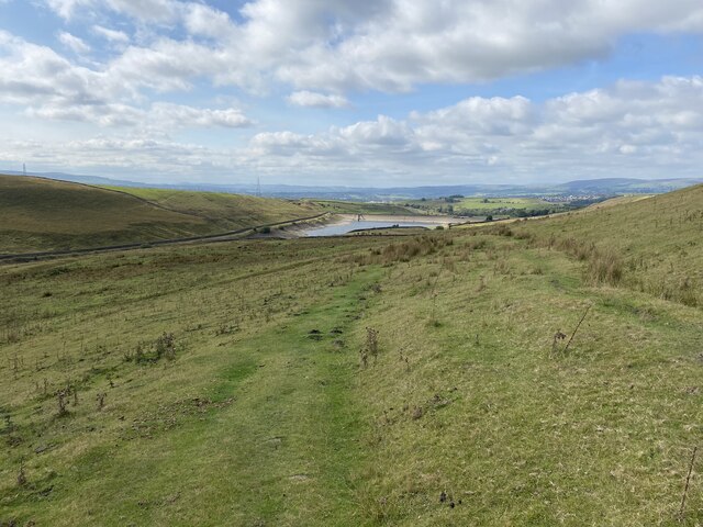
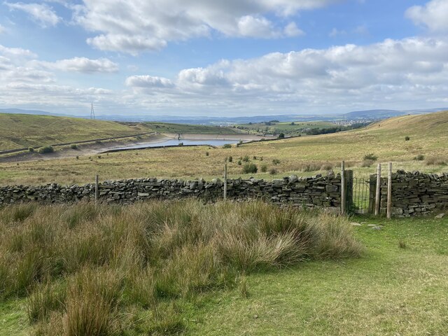
Hell Clough is a narrow valley located in Lancashire, England. The valley is known for its rugged and steep terrain, with rocky outcrops and dense woodland surrounding the area. The name "Hell Clough" is believed to have originated from the challenging and treacherous nature of the landscape.

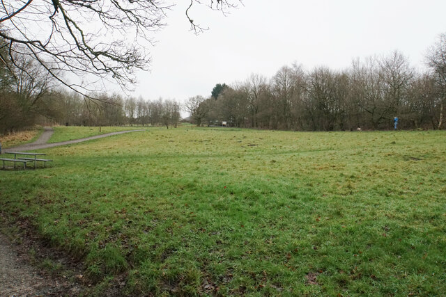
The valley is a popular destination for hikers and outdoor enthusiasts, offering a variety of walking trails and paths that provide stunning views of the surrounding countryside. The area is also home to a diverse range of wildlife, including birds of prey, deer, and various species of plants and trees.

Hell Clough is situated within the larger landscape of the West Pennine Moors, which is designated as an Area of Outstanding Natural Beauty. The valley's remote location and natural beauty make it a peaceful and tranquil retreat for those looking to escape the hustle and bustle of city life.

Overall, Hell Clough is a picturesque and rugged valley that offers visitors a chance to immerse themselves in the natural beauty of Lancashire's countryside.

If you have any feedback on the listing, please let us know in the comments section below.
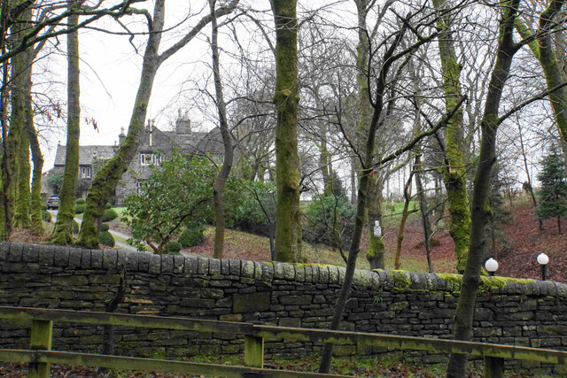
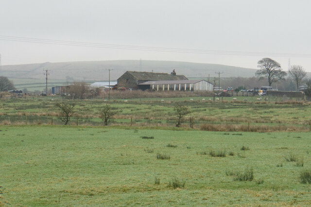
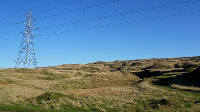
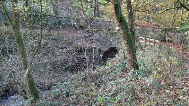
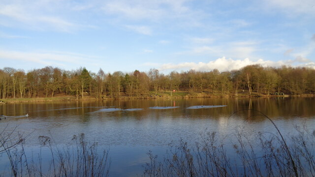
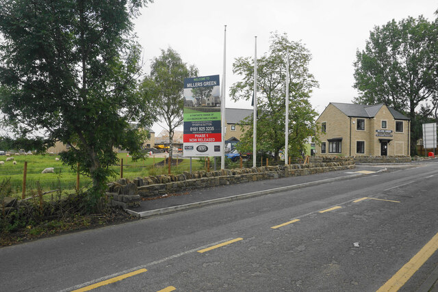
Hell Clough Images

Images are sourced within 2km of 53.793202/-2.1807878 or Grid Reference SD8833. Thanks to Geograph Open Source API. All images are credited.

The Pennine Bridleway above Swinden Water The bridleway does a lot of zigzags both on this side and the other side of the valley.
The Pennine Bridleway above Swinden Water
The bridleway does a lot of zigzags both on this side and the other side of the valley.
The Pennine Bridleway crossing Swinden Water A winding route which reflects previous quarrying activity in the valley.
The Pennine Bridleway crossing Swinden Water
A winding route which reflects previous quarrying activity in the valley.
Footpaths at Pike Hill Open space attached to Rowley Lake which has been developed by Burnley Borough Council as an attractive woodland leisure area.
Footpaths at Pike Hill
Open space attached to Rowley Lake which has been developed by Burnley Borough Council as an attractive woodland leisure area.
River Brun above Rowley Lake Looking upstream from the circular path around the lake.
River Brun above Rowley Lake
Looking upstream from the circular path around the lake.
Rowley Hall A lot of farm buildings are behind the grand house, as seen from Rowley Lane.
Rowley Hall
A lot of farm buildings are behind the grand house, as seen from Rowley Lane.
Heckenhurst Farm Viewed from Rowley Lane on a slightly misty day. Wasnop Edge is in the background, the beginning of the higher Pennines.
Heckenhurst Farm
Viewed from Rowley Lane on a slightly misty day. Wasnop Edge is in the background, the beginning of the higher Pennines.
Limestone Hushings Landscape On the east bank of Hurstwood Reservoir
Limestone Hushings Landscape
On the east bank of Hurstwood Reservoir
Foxstones Bridge Over the infant River Brun
Foxstones Bridge
Over the infant River Brun
Rowley Lake From the viewing platform
Rowley Lake
From the viewing platform
Millers Green A new housing development on the edge of Worsthorne. The green gap between Worsthorne and the Burnley conurbation is getting smaller.
Millers Green
A new housing development on the edge of Worsthorne. The green gap between Worsthorne and the Burnley conurbation is getting smaller.
Gorple Road The road has become a track continuing across the Pennines.
Gorple Road
The road has become a track continuing across the Pennines.
Gorple Road Heading straight down towards Worsthorne. The view extends from Crown Point and Great Hameldon on the left round to Pendle and Pen-y-Ghent which are out of this image on the right.
Gorple Road
Heading straight down towards Worsthorne. The view extends from Crown Point and Great Hameldon on the left round to Pendle and Pen-y-Ghent which are out of this image on the right.
The results of quarrying above Hurstwood Reservoir Scarring on the hillside viewed from Gorple Road.
The results of quarrying above Hurstwood Reservoir
Scarring on the hillside viewed from Gorple Road.
Moorland below Ben Edge Swinden Reservoir is at the bottom and Pendle in the background.
Moorland below Ben Edge
Swinden Reservoir is at the bottom and Pendle in the background.
Path on Delf Hill The path down to Swinden Bridge passes the remains of quarrying on Delf Hill.
Path on Delf Hill
The path down to Swinden Bridge passes the remains of quarrying on Delf Hill.
Dilapidated wall on Delf Hill The remains of former quarrying on the top of the hill are quite evident.
Dilapidated wall on Delf Hill
The remains of former quarrying on the top of the hill are quite evident.
Path down to Swinden Bridge The lower part of the path is a gentle grassy descent. Swinden Reservoir is seen below, with the water level clearly below capacity.
Path down to Swinden Bridge
The lower part of the path is a gentle grassy descent. Swinden Reservoir is seen below, with the water level clearly below capacity.
Iron gate in a wall The gate is an unusual feature on the moors, but it is in perfect working order.
Iron gate in a wall
The gate is an unusual feature on the moors, but it is in perfect working order.
Show me another place!

Hell Clough is located at Grid Ref: SD8833 (Lat: 53.793202, Lng: -2.1807878)

Administrative County: Lancashire

District: Burnley

Police Authority: Lancashire

What 3 Words

///clap.ruler.planet. Near Burnley, Lancashire

Related Wikis

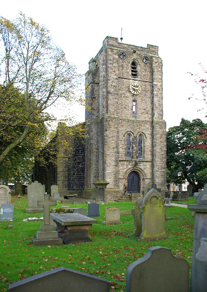
St John the Evangelist's Church, Worsthorne

St John the Evangelist's Church is in Church Square in the village of Worsthorne, Lancashire, England. It is an active Anglican parish church in the deanery...

Worsthorne

Worsthorne is a rural village on the eastern outskirts of Burnley in Lancashire, England. It is in the civil parish of Worsthorne-with-Hurstwood and the...

Worsthorne-with-Hurstwood

Worsthorne-with-Hurstwood is a civil parish in the Borough of Burnley, in Lancashire, England. Situated on the eastern outskirts of Burnley, in 2011 it...

Fother Royd Wood

Fother Royd Wood is a woodland in Lancashire, England, near Worsthorne. It covers a total area of 1.03 hectares (2.55 acres). It is owned and managed by...

Nearby Amenities

Located within 500m of 53.793202,-2.1807878
Remains of stone circle
Archaeological Site: megalith
Historic: archaeological_site
Megalith Type: stone_circle
Source: OS 1:25000
Lat/Long: 53.7910777/-2.1766814
The data included in this document is from www.openstreetmap.org. The data is made available under ODbL.

Have you been to Hell Clough?

Leave your review of Hell Clough below (or comments, questions and feedback).