Black Clough

Valley in Lancashire Burnley

England

Black Clough

Old Boundary Marker on Bacup Old Road Municipal Boundary Marker on the east side of Bacup Old Road, southeast of its junction with the A671 Burnley Road. On the boundary of Cliviger parish and the former Newchurch parish. One of a series marking the boundary of Bacup Borough.

Milestone Society National ID: LA_BACCLI02pb
Old Boundary Marker on Bacup Old Road Credit: C Chatham

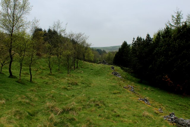
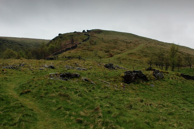
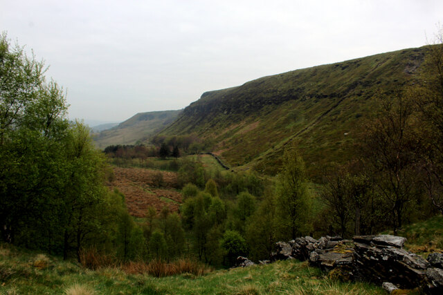
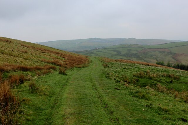
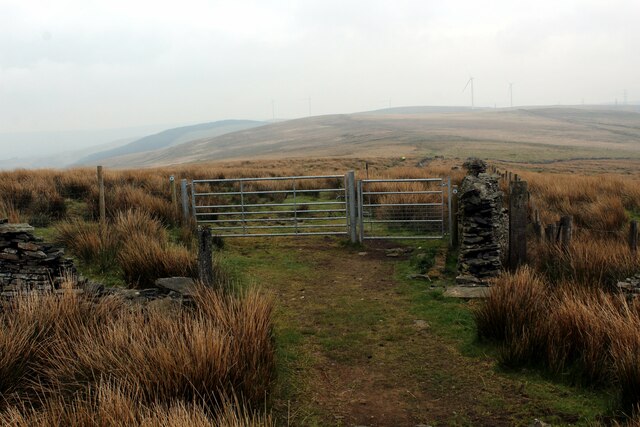
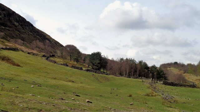
Black Clough is a picturesque valley located in the county of Lancashire, England. Nestled in the heart of the Pennines, this natural wonder is known for its breathtaking beauty and tranquil atmosphere. The valley is situated near the town of Ramsbottom, and its name refers to the deep, narrow gorge carved over centuries by Black Clough Beck, a small river that runs through the area.

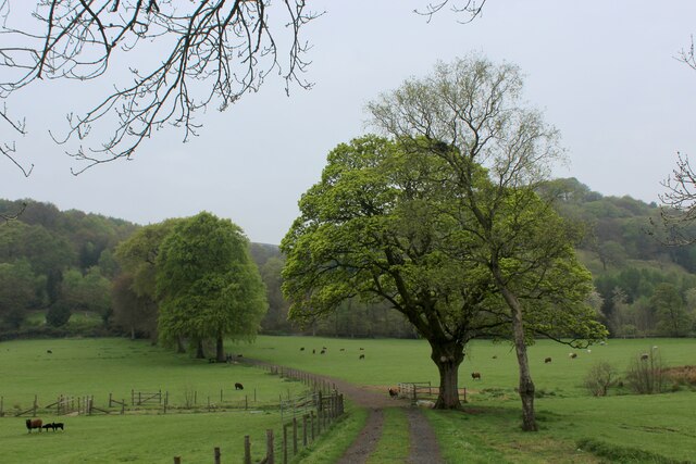
The landscape of Black Clough is characterized by rugged hillsides covered with lush vegetation, creating a rich and diverse ecosystem. The valley is home to a variety of plant and animal species, including rare birds, butterflies, and wildflowers. The river itself is teeming with fish, adding to the area's natural charm.

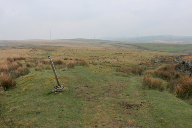
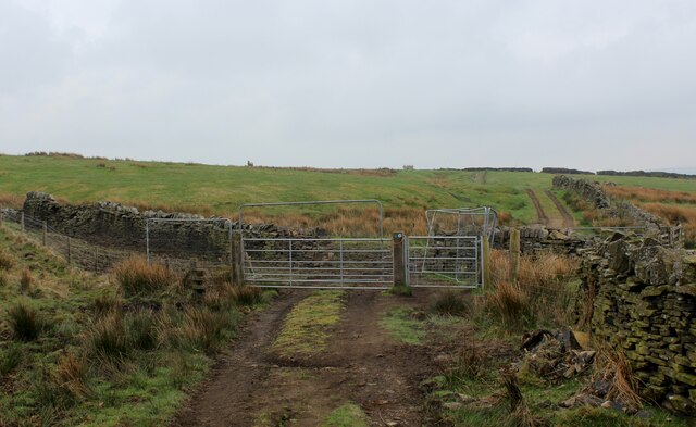
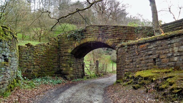
Visitors to Black Clough can explore the valley by following a network of walking trails that wind through the picturesque countryside. These paths offer panoramic views of the surrounding countryside and provide an opportunity to observe the local flora and fauna up close. Along the way, hikers can also discover hidden waterfalls and cascades, adding to the enchanting atmosphere of the valley.

Black Clough is a popular destination for nature lovers, hikers, and photographers seeking to capture the beauty of the Lancashire countryside. Its idyllic setting and peaceful ambiance make it a perfect escape from the hustle and bustle of everyday life. Whether it's a leisurely stroll or a more challenging hike, Black Clough offers a serene retreat for those seeking to connect with nature.

If you have any feedback on the listing, please let us know in the comments section below.
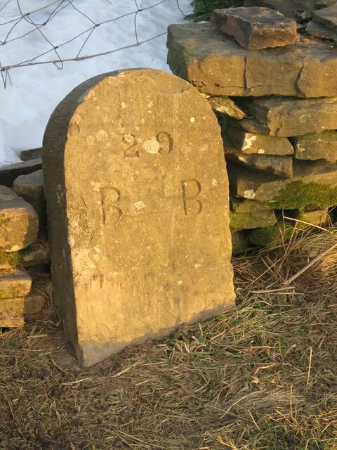
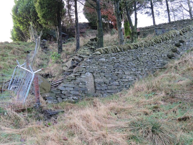
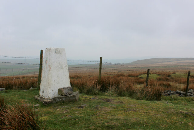
Black Clough Images

Images are sourced within 2km of 53.747068/-2.2023187 or Grid Reference SD8627. Thanks to Geograph Open Source API. All images are credited.

Old Boundary Marker on Bacup Old Road Municipal Boundary Marker on the east side of Bacup Old Road, southeast of its junction with the A671 Burnley Road. On the boundary of Cliviger parish and the former Newchurch parish. One of a series marking the boundary of Bacup Borough.

Milestone Society National ID: LA_BACCLI02pb
Old Boundary Marker on Bacup Old Road
Municipal Boundary Marker on the east side of Bacup Old Road, southeast of its junction with the A671 Burnley Road. On the boundary of Cliviger parish and the former Newchurch parish. One of a series marking the boundary of Bacup Borough. Milestone Society National ID: LA_BACCLI02pb
Old Boundary Marker west of Burnley Road Municipal Boundary Marker set in a drystone wall beside the disused tramway of Deerplay Colliery, 75 metres west of the B671 Burnley Road. On the boundary of Cliviger parish and the former Newchurch parish. One of a series marking the boundary of Bacup Borough. Inscribed 31 / B B.

Milestone Society National ID: LA_BACCLI03pb
Old Boundary Marker west of Burnley Road
Municipal Boundary Marker set in a drystone wall beside the disused tramway of Deerplay Colliery, 75 metres west of the B671 Burnley Road. On the boundary of Cliviger parish and the former Newchurch parish. One of a series marking the boundary of Bacup Borough. Inscribed 31 / B B. Milestone Society National ID: LA_BACCLI03pb
Track heading towards Buckley Wood Public footpath from A646 south of Holme Chapel leading to Buckley Wood over the River Calder
Track heading towards Buckley Wood
Public footpath from A646 south of Holme Chapel leading to Buckley Wood over the River Calder
Trig Point on Thieveley Pike Highest point on Deerplay Moor at 449 metres.
The trig point now supports a fresh coat of white paint.
Trig Point on Thieveley Pike
Highest point on Deerplay Moor at 449 metres. The trig point now supports a fresh coat of white paint.
Footpath on the Southern Edge of Buckley Wood Woods on the flanks of Deerplay Moor
Footpath on the Southern Edge of Buckley Wood
Woods on the flanks of Deerplay Moor
Burnley Way ascending Deerplay Moor The long distance footpath climbs steeply beside Dean Scout
Burnley Way ascending Deerplay Moor
The long distance footpath climbs steeply beside Dean Scout
Flanks of Thieveley Scout
Grass Track on the Flanks of Deerplay Moor
Burnley Way heading South East towards Heald Moor Following the ridge from Deerplay Moor to Heald Moor on a misty morning
Burnley Way heading South East towards Heald Moor
Following the ridge from Deerplay Moor to Heald Moor on a misty morning
Fork in the Paths on Heald Moor The Burnley Way runs straight ahead over the moor, while a bridleway veers to right beside the wall towards the village of Weir
Fork in the Paths on Heald Moor
The Burnley Way runs straight ahead over the moor, while a bridleway veers to right beside the wall towards the village of Weir
Bridleway on the Edge of Heald Moor
The Singing Ringing Tree One of East Lancashire's Panopticons
The Singing Ringing Tree
One of East Lancashire's Panopticons
The Singing Ringing Tree One of East Lancashire's Panopticons, but I do not think the view is better from on top of the structure
The Singing Ringing Tree
One of East Lancashire's Panopticons, but I do not think the view is better from on top of the structure
Weir and District War Memorial On Deerplay Hill
Weir and District War Memorial
On Deerplay Hill
Farms on Burnley Road View towards Bacup from Weir War Memorial on Deerplay Hill
Farms on Burnley Road
View towards Bacup from Weir War Memorial on Deerplay Hill
Railway Bridge at Calder Head Used by the farmer to store baled sileage. Thieveley Scout is beyond the railway
Railway Bridge at Calder Head
Used by the farmer to store baled sileage. Thieveley Scout is beyond the railway
Track to Millennium Wood (Thieveley) An indistinct footpath to the gate for the wood on the flank of Thieveley Scout
Track to Millennium Wood (Thieveley)
An indistinct footpath to the gate for the wood on the flank of Thieveley Scout
Former Private Footbridge The footbridge gave access to Holmes Chapel railway station for the owners of the large house The Holme. The path from The Holme has already come through an underpass under the main road and another under the railway to reach this bridge
Former Private Footbridge
The footbridge gave access to Holmes Chapel railway station for the owners of the large house The Holme. The path from The Holme has already come through an underpass under the main road and another under the railway to reach this bridge
Show me another place!

Black Clough is located at Grid Ref: SD8627 (Lat: 53.747068, Lng: -2.2023187)

Administrative County: Lancashire

District: Burnley

Police Authority: Lancashire

What 3 Words

///starred.surfacing.agent. Near Cornholme, West Yorkshire

Nearby Locations

Black Clough Deerplay Moor

Related Wikis

Holme railway station (Lancashire)

Holme railway station served Holme Chapel on the Copy Pit line. The station closed in July 1930 and the line now serves as a non-stop route between Hebden...

Church of St John the Divine, Holme Chapel

The Church of St John the Divine is in Burnley Road, Holme Chapel, a village in the civil parish of Cliviger, near Burnley, Lancashire, England. It is...

Holme Hall, Cliviger

Holme Hall (or The Holme) is a Grade II* listed manor house in Cliviger near Burnley, in Lancashire, England. The house dates back to at least the 15th...

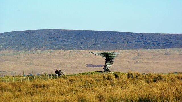
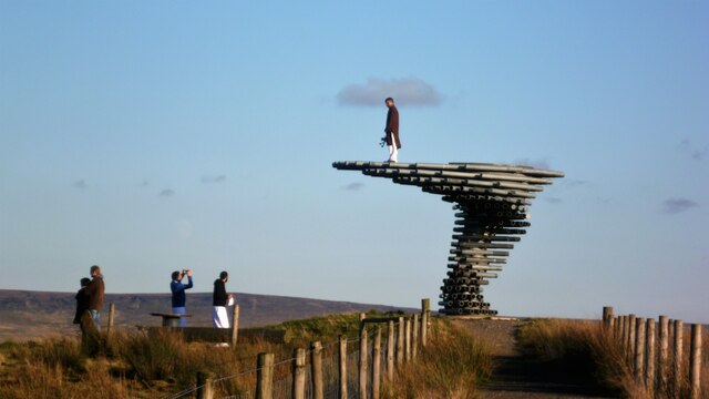
Singing Ringing Tree (sculpture)

The Singing Ringing Tree is a wind powered sound sculpture resembling a tree set in the landscape of the Pennine hill range overlooking Burnley, in Lancashire...
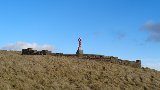
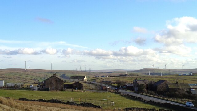
Cliviger

Cliviger is a civil parish in the Borough of Burnley, in Lancashire, England. It is situated to the southeast of Burnley, and northwest of Todmorden....

Weir, Lancashire

Weir is a village to the north of Bacup in the Rossendale borough of Lancashire, England, and immediately south of the boundary with the Borough of Burnley...

A671 road

The A671 is a road in the North West of England, that runs between Oldham, Greater Manchester and Worston, near Clitheroe, Lancashire. Major towns on the...

Hill Top Colliery

The Hill Top Colliery in Sharneyford between Bacup and Todmorden was, until 2014, the last coal mine still in operation in Lancashire. == Foundation... ==

Have you been to Black Clough?

Leave your review of Black Clough below (or comments, questions and feedback).