Black Cleuch
Valley in Roxburghshire
Scotland
Black Cleuch
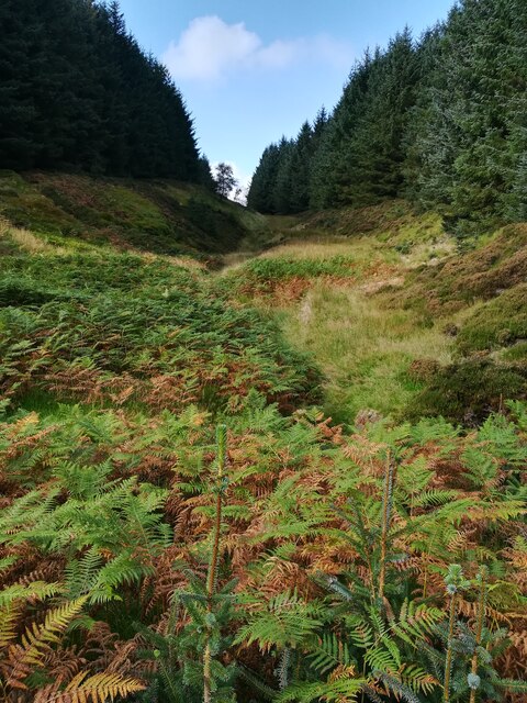
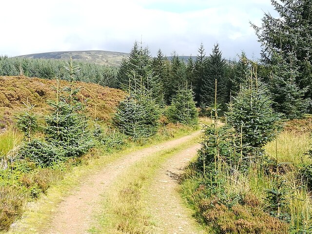
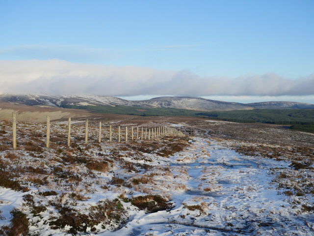
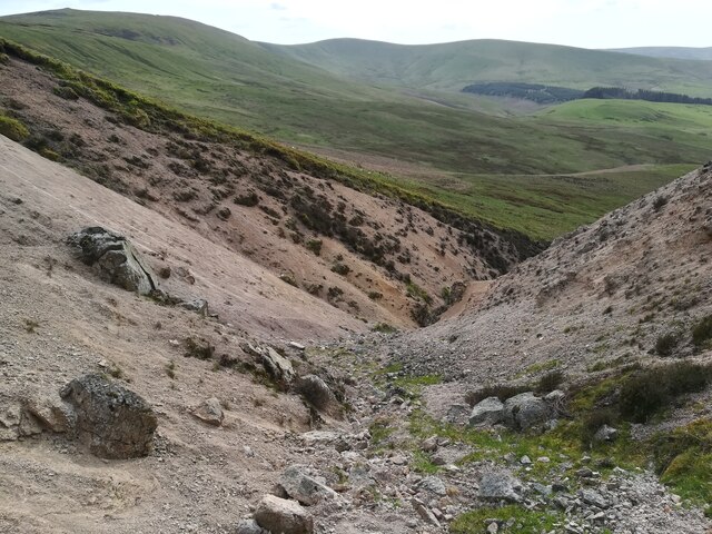
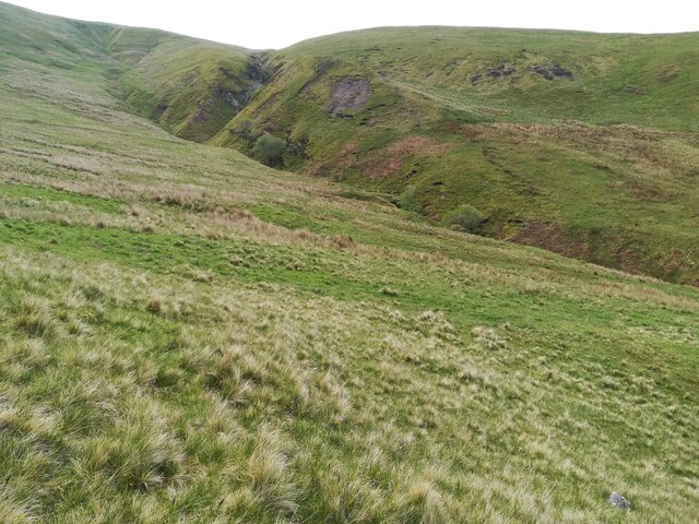
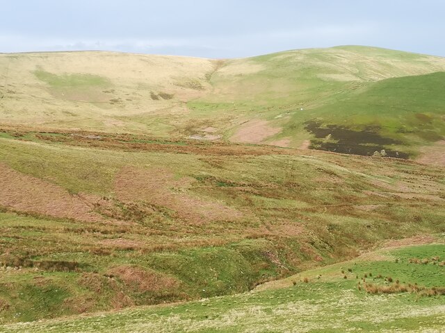
Black Cleuch is a picturesque valley located in the county of Roxburghshire, Scotland. Nestled within the Southern Uplands, this valley is renowned for its stunning natural beauty and tranquil ambiance. The word "cleuch" is a Scottish term for a narrow, steep-sided valley, and Black Cleuch aptly fits this description.
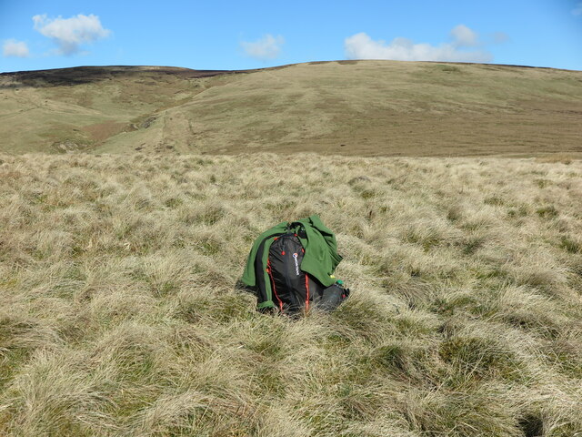
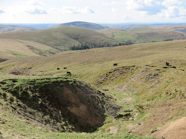
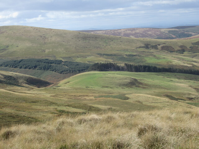
The valley is characterized by rolling green hills, scattered forests, and a winding river that meanders through its heart. The landscape is dotted with charming farmhouses, adding to the idyllic countryside feel. The fertile soil and favorable climate of the region make it an ideal location for agricultural activities, particularly sheep farming.
Wildlife enthusiasts will be delighted by the diverse flora and fauna that call Black Cleuch home. The valley is home to a variety of bird species, including red kites, buzzards, and peregrine falcons. Additionally, the surrounding forests provide habitat for deer, badgers, and other small mammals.
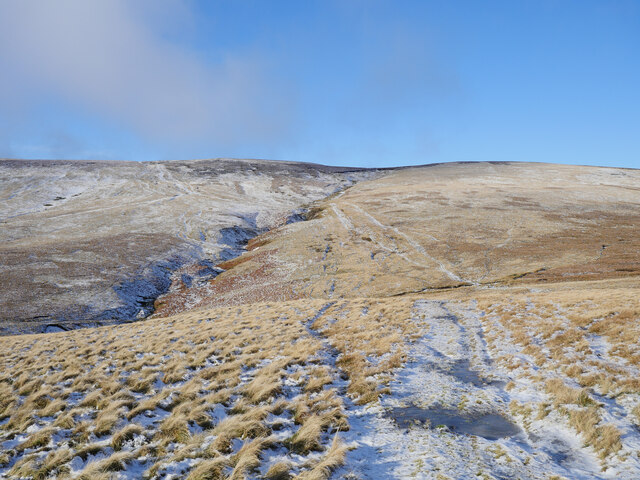
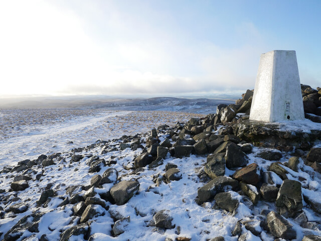
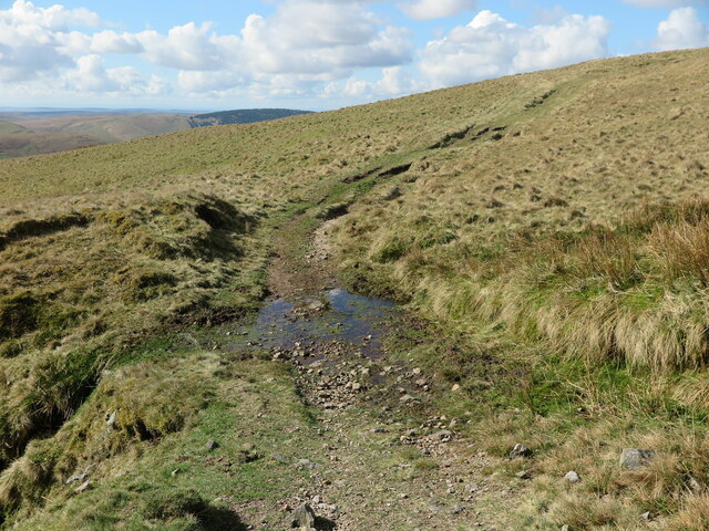
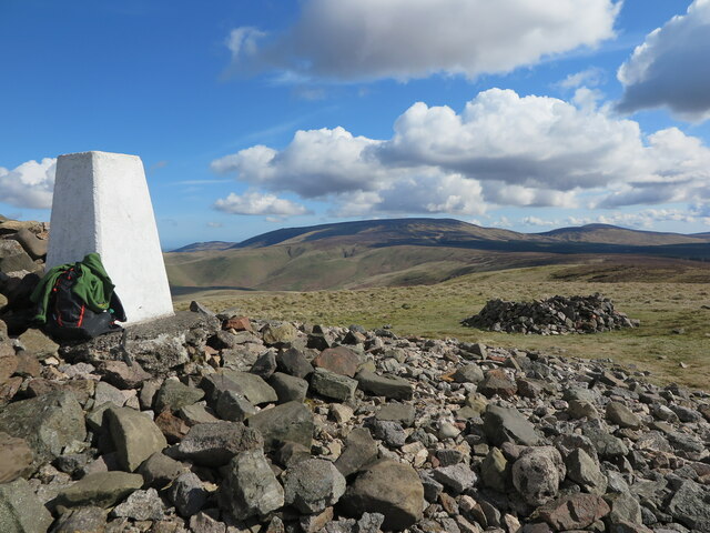
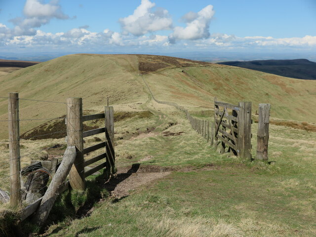
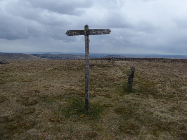
Outdoor enthusiasts are drawn to Black Cleuch for its numerous hiking trails and scenic viewpoints. A popular trail leads visitors up to the nearby summit of Black Law, offering breathtaking panoramic views of the valley and surrounding hills. The valley is also a great spot for fishing, with its river teeming with trout and salmon.
The peaceful and unspoiled nature of Black Cleuch makes it a haven for those seeking an escape from the bustle of city life. Its scenic beauty, rich wildlife, and recreational opportunities make it a must-visit destination for nature lovers and outdoor enthusiasts alike.
If you have any feedback on the listing, please let us know in the comments section below.
Black Cleuch Images
Images are sourced within 2km of 55.439552/-2.2111178 or Grid Reference NT8616. Thanks to Geograph Open Source API. All images are credited.


Black Cleuch is located at Grid Ref: NT8616 (Lat: 55.439552, Lng: -2.2111178)
Unitary Authority: The Scottish Borders
Police Authority: The Lothians and Scottish Borders
What 3 Words
///below.paces.pursuing. Near Kirknewton, Northumberland
Nearby Locations
Related Wikis

Windy Gyle
Windy Gyle is a mountain in the Cheviot Hills range, on the border between England and Scotland. Like the other hills in the area, it is rounded and grass...

Barrow Burn Meadows
Barrow Burn Meadows is a Site of Special Scientific Interest (SSSI) in north Northumberland, England. The site is a species-rich hay meadow of a sort now...

Cheviot Hills
The Cheviot Hills (), or sometimes The Cheviots, are a range of uplands straddling the Anglo-Scottish border between Northumberland and the Scottish Borders...

Barrow Burn
Barrowburn is a hamlet in Upper Coquetdale in the county of Northumberland, England. It comprises a working farm with associated buildings and two holiday...

The Cheviot
The Cheviot () is an extinct volcano and the highest summit in the Cheviot Hills and in the county of Northumberland. Located in the extreme north of England...
Kidland
Kidland is a former civil parish, now in the parish of Alwinton in Northumberland, England, about 2 miles (3 km) northwest of Alwinton village. In 1951...

Shillhope Law
Shillhope Law is a hill in the southern Cheviots, a range of hills in Northumberland, England. Shillhope Law is a relatively unremarkable member of this...

Mowhaugh
Mowhaugh is a hamlet and farm steading near the Calroust Burn and the Bowmont Water, near Morebattle, in the Scottish Borders area of Scotland, and in...
Nearby Amenities
Located within 500m of 55.439552,-2.2111178Have you been to Black Cleuch?
Leave your review of Black Cleuch below (or comments, questions and feedback).