Scout Moor Bottom

Valley in Lancashire Rossendale

England

Scout Moor Bottom

Wall and cairns
Wall and cairns Credit: thejackrustles

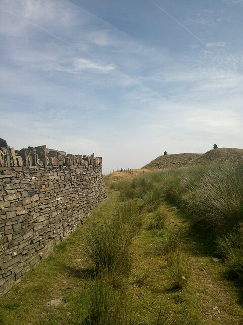
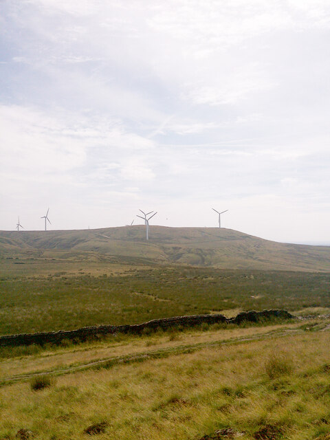
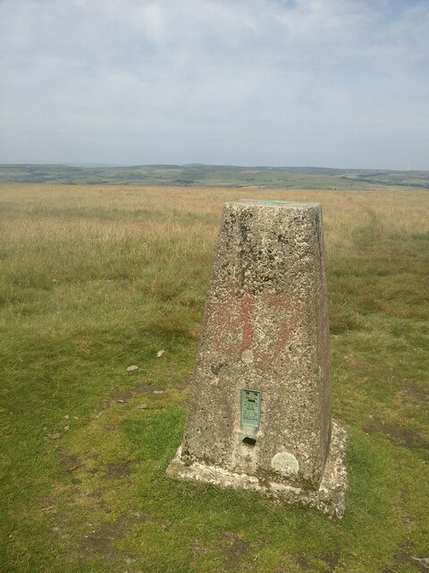
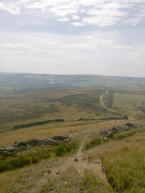
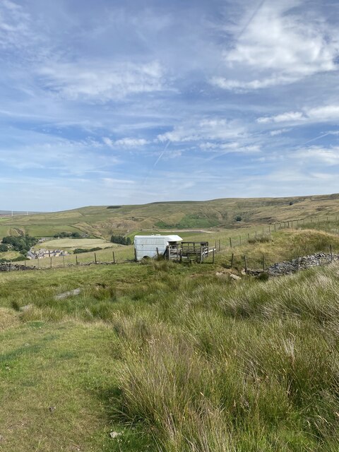
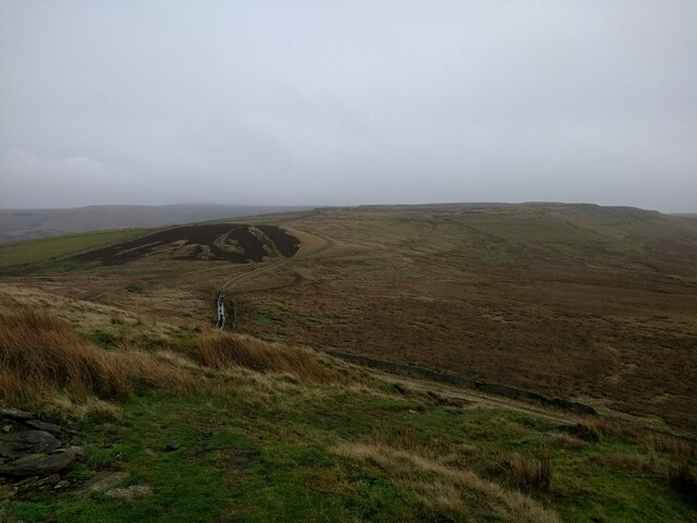
Scout Moor Bottom is a picturesque valley located in the county of Lancashire, England. Situated near the town of Rochdale, it is a popular destination for nature enthusiasts and hikers seeking tranquility and scenic beauty. The valley is nestled amidst the rolling hills of the South Pennines, offering breathtaking views of the surrounding landscape.

The area is blessed with diverse flora and fauna, making it a haven for wildlife. Visitors to Scout Moor Bottom can expect to encounter a variety of bird species, including buzzards, kestrels, and skylarks, as well as small mammals like rabbits and foxes. The valley is also home to a number of rare plant species, adding to its ecological significance.

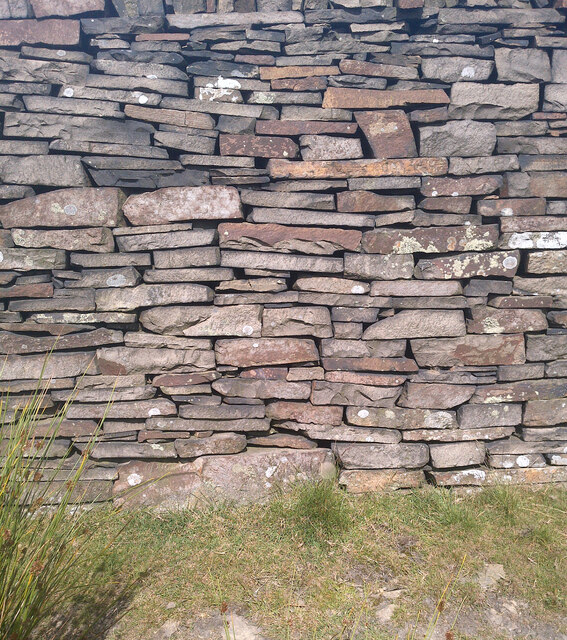
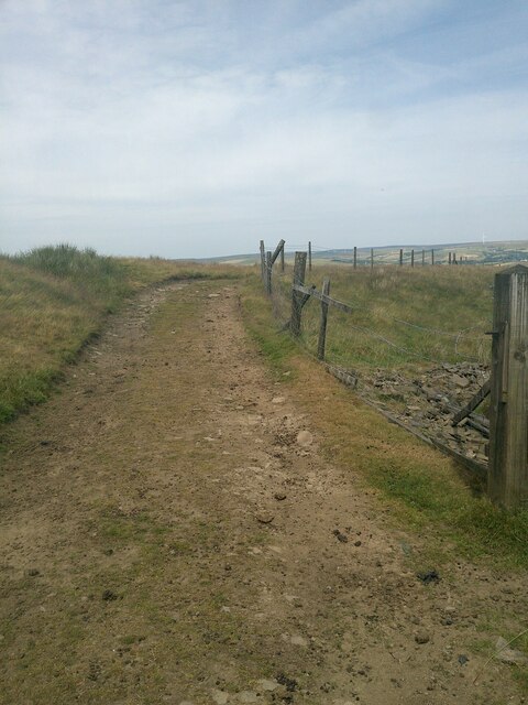
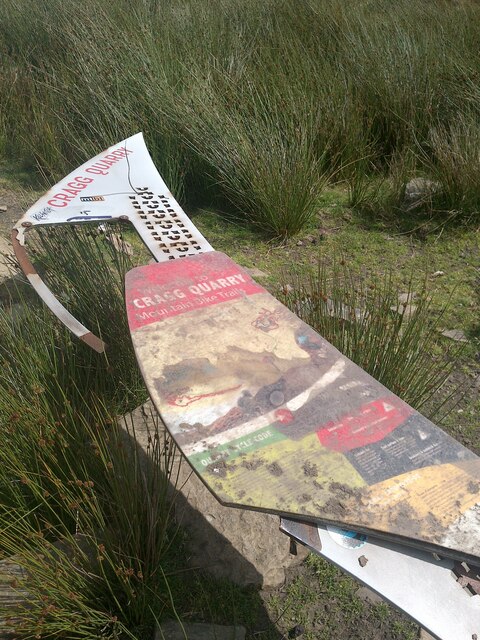
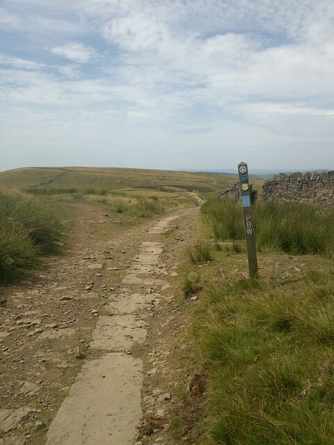
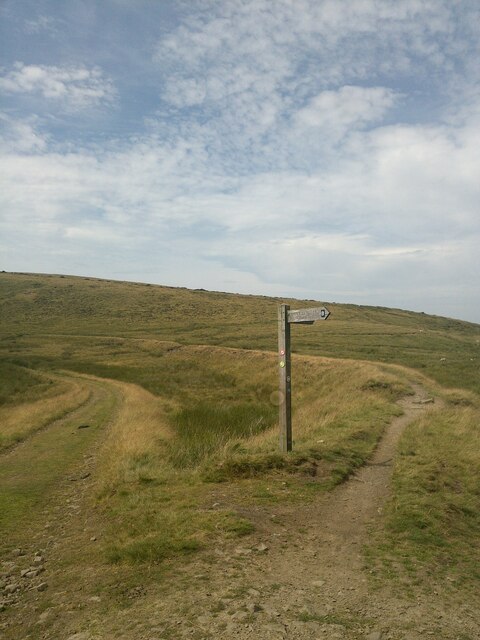
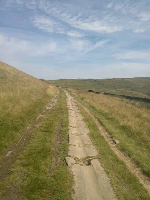
One of the main attractions of Scout Moor Bottom is its extensive network of walking trails. These paths wind through the valley, enabling visitors to explore its natural wonders at their own pace. The trails cater to all levels of fitness and offer opportunities for both leisurely strolls and more challenging hikes.

For those seeking a peaceful retreat, Scout Moor Bottom provides the perfect setting. The valley is known for its tranquility, with the sound of trickling streams and the gentle rustle of leaves creating a serene atmosphere. Visitors can choose to relax by the water's edge, or simply enjoy a picnic amidst the lush greenery.

In conclusion, Scout Moor Bottom is a hidden gem in Lancashire, offering visitors a chance to immerse themselves in the beauty of nature. With its stunning vistas, diverse wildlife, and peaceful ambiance, this valley is a must-visit destination for anyone seeking solace in the great outdoors.

If you have any feedback on the listing, please let us know in the comments section below.

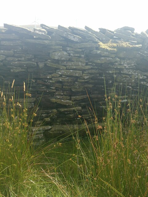
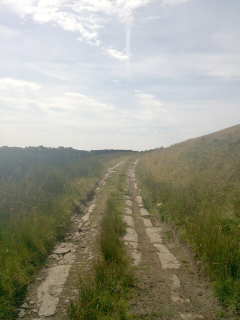
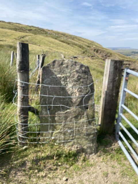
Scout Moor Bottom Images

Images are sourced within 2km of 53.673423/-2.2807987 or Grid Reference SD8119. Thanks to Geograph Open Source API. All images are credited.

Wall and cairns
Wall and cairns
OS Pivot - Cowpe, track to North of Rossendale Way <span class="nowrap"><a title="https://www.bench-marks.org.uk/bm149550" rel="nofollow ugc noopener" href="https://www.bench-marks.org.uk/bm149550">Link</a><img style="margin-left:2px;" alt="External link" title="External link - shift click to open in new window" src="https://s1.geograph.org.uk/img/external.png" width="10" height="10"/></span>
OS Pivot - Cowpe, track to North of Rossendale Way
Location of OS Pivot - Cowpe, track to North of Rossendale Way
Track towards Black Hill
Crag Quarry Mountain Bike Trail Sign - seen better days!
Pennine Bridleway
Pennine Bridleway
Pennine Bridleway near Black Hill
Views to the South
Views to the South
Cowpe Lowe Trig Point Flush Bracket S4554
Heading off Cowpe Lowe
Section of moorland tramway
OS Rivet - Cowpe Lowe, Pennine Bridleway <span class="nowrap"><a title="https://www.bench-marks.org.uk/bm149474" rel="nofollow ugc noopener" href="https://www.bench-marks.org.uk/bm149474">Link</a><img style="margin-left:2px;" alt="External link" title="External link - shift click to open in new window" src="https://s1.geograph.org.uk/img/external.png" width="10" height="10"/></span>
OS Rivet - Cowpe Lowe, Pennine Bridleway
Location of Rivet - Cowpe Lowe, Pennine Bridleway
Section of moorland tramway
OS Cut Mark - Black Hill, Northwest Slope <span class="nowrap"><a title="https://www.bench-marks.org.uk/bm93552" rel="nofollow ugc noopener" href="https://www.bench-marks.org.uk/bm93552">Link</a><img style="margin-left:2px;" alt="External link" title="External link - shift click to open in new window" src="https://s1.geograph.org.uk/img/external.png" width="10" height="10"/></span>
OS Cut Mark - Black Hill, Northwest Slope
Confluence of paths and a van
OS Cut Mark - Black Hill, Northwest Slope <span class="nowrap"><a title="https://www.bench-marks.org.uk/bm93552" rel="nofollow ugc noopener" href="https://www.bench-marks.org.uk/bm93552">Link</a><img style="margin-left:2px;" alt="External link" title="External link - shift click to open in new window" src="https://s1.geograph.org.uk/img/external.png" width="10" height="10"/></span>
OS Cut Mark - Black Hill, Northwest Slope
Looking towards the west end of Cragg quarry from the summit plateau of Cowpe Lowe Inclined track beds are visible in the col in the foreground
Looking towards the west end of Cragg quarry from the summit plateau of Cowpe Lowe
Inclined track beds are visible in the col in the foreground
Show me another place!

Scout Moor Bottom is located at Grid Ref: SD8119 (Lat: 53.673423, Lng: -2.2807987)

Administrative County: Lancashire

District: Rossendale

Police Authority: Lancashire

What 3 Words

///tidy.pure.urgent. Near Rossendale, Lancashire

Related Wikis

Turn Village

Turn Village is a hamlet in the Rossendale borough of Lancashire, England. It is located in the South Pennines, on the A680 road between Edenfield and...

Balladen

Balladen is a hamlet in Rossendale, Lancashire, England. It is located south of the town of Rawtenstall. == External links == Media related to Balladen...

Hail Storm Hill

Hail Storm Hill, also known as Cowpe Moss, is the highest point of the Rossendale Valley, England, an area of moorland and hill country situated between...

Ewood Bridge and Edenfield railway station

Ewood Bridge and Edenfield railway station served the village of Edenfield, Rossendale, Lancashire. == History == On 25 September 1916, a 179-metre (587...

Nearby Amenities

Located within 500m of 53.673423,-2.2807987
Scout Moor Bottom
Place: locality
Source: NLS 1ST SERIES
Lat/Long: 53.6717691/-2.28291
The data included in this document is from www.openstreetmap.org. The data is made available under ODbL.

Have you been to Scout Moor Bottom?

Leave your review of Scout Moor Bottom below (or comments, questions and feedback).