Hay Bottom

Valley in Gloucestershire Cotswold

England

Hay Bottom

Milestone, A4135 Stone post (plate lost) by the A4135, in parish of KINGSCOTE (COTSWOLD District), by the road, on South side of road. TDW iron plate, erected by the Coldharbour District turnpike trust in the 19th century.

Inscription once read: TETBURY / 5 / DURSLEY / & / WOTTON / 5

Grade II listed see <span class="nowrap"><a title="https://historicengland.org.uk/listing/the-list/list-entry/1153577" rel="nofollow ugc noopener" href="https://historicengland.org.uk/listing/the-list/list-entry/1153577">Link</a><img style="margin-left:2px;" alt="External link" title="External link - shift click to open in new window" src="https://s1.geograph.org.uk/img/external.png" width="10" height="10"/></span>

Milestone Society National ID: GL_TBDY05
Milestone, A4135 Credit: Mr Red

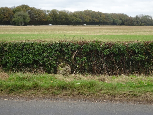
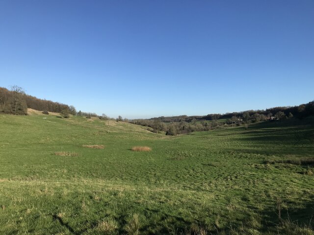
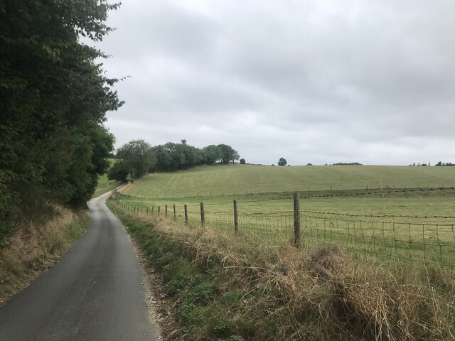
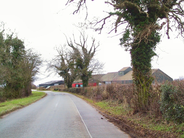
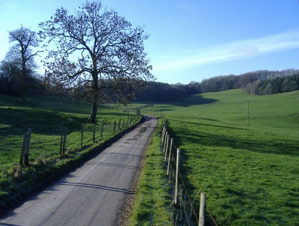
Hay Bottom is a picturesque valley located in the county of Gloucestershire, England. Situated in the heart of the countryside, this idyllic location is renowned for its natural beauty and tranquil surroundings. Nestled between rolling hills and bordered by lush green fields, Hay Bottom is a haven for nature enthusiasts and those seeking a peaceful retreat.

The valley is characterized by its meandering river, which gently winds through the landscape, offering stunning views and opportunities for leisurely walks along its banks. The river is home to a variety of wildlife, including ducks, herons, and kingfishers, making it a popular spot for birdwatching.

The surrounding countryside is adorned with vibrant wildflowers during the spring and summer months, creating a colorful and vibrant scene. The valley is also home to an abundance of mature trees, providing shade and a sense of tranquility.

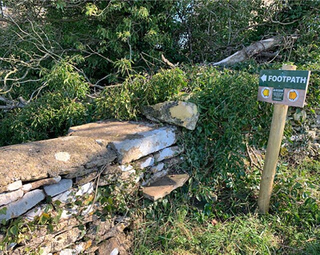
Hay Bottom is a popular destination for outdoor activities such as hiking, cycling, and picnicking. Numerous trails crisscross the area, allowing visitors to explore the valley and its surroundings at their own pace. The valley's peaceful atmosphere and breathtaking scenery also make it a popular spot for photography and painting enthusiasts.

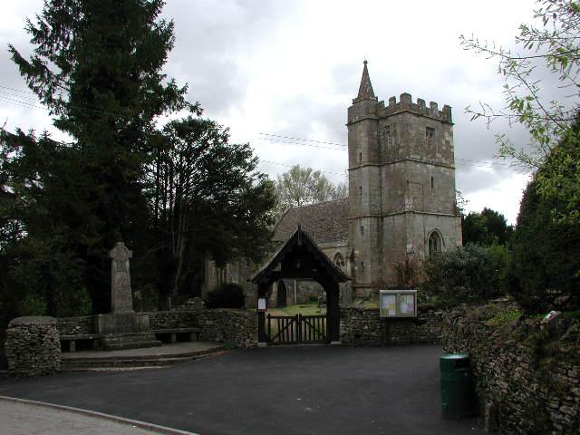
Although secluded, Hay Bottom is not far from the nearby village of Hay-on-Wye, famous for its annual book festival and charming bookshops. This proximity provides visitors with the opportunity to explore both the rural beauty of the valley and the cultural offerings of the village.

In summary, Hay Bottom offers a serene and picturesque escape from the hustle and bustle of everyday life. With its natural beauty, diverse wildlife, and abundance of outdoor activities, this Gloucestershire valley is a true gem for nature lovers and those seeking a peaceful retreat.

If you have any feedback on the listing, please let us know in the comments section below.
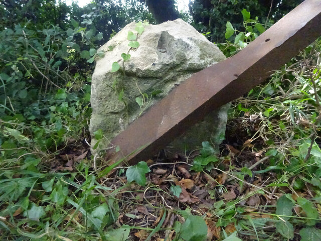
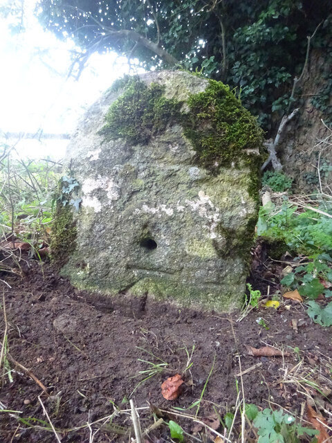
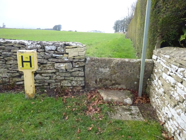
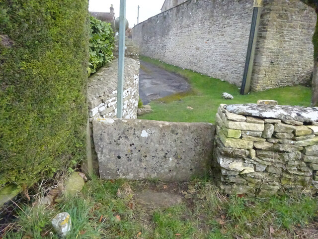
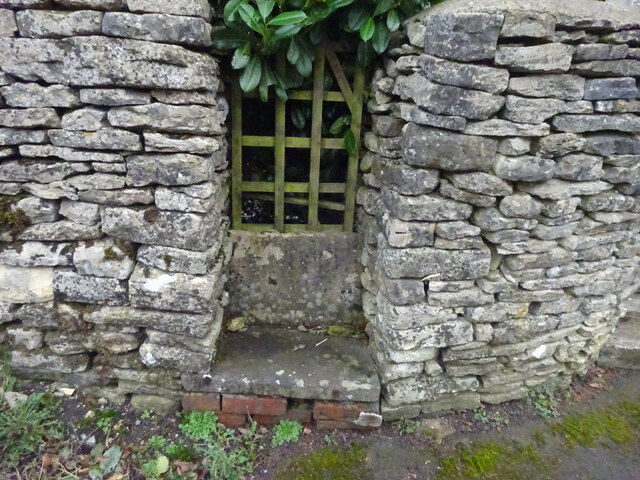
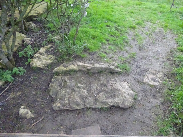
Hay Bottom Images

Images are sourced within 2km of 51.653654/-2.2681904 or Grid Reference ST8195. Thanks to Geograph Open Source API. All images are credited.

Milestone, A4135 Stone post (plate lost) by the A4135, in parish of KINGSCOTE (COTSWOLD District), by the road, on South side of road. TDW iron plate, erected by the Coldharbour District turnpike trust in the 19th century.

Inscription once read: TETBURY / 5 / DURSLEY / & / WOTTON / 5

Grade II listed see <span class="nowrap"><a title="https://historicengland.org.uk/listing/the-list/list-entry/1153577" rel="nofollow ugc noopener" href="https://historicengland.org.uk/listing/the-list/list-entry/1153577">Link</a><img style="margin-left:2px;" alt="External link" title="External link - shift click to open in new window" src="https://s1.geograph.org.uk/img/external.png" width="10" height="10"/></span>

Milestone Society National ID: GL_TBDY05
Milestone, A4135
Stone post (plate lost) by the A4135, in parish of KINGSCOTE (COTSWOLD District), by the road, on South side of road. TDW iron plate, erected by the Coldharbour District turnpike trust in the 19th century. Inscription once read: TETBURY / 5 / DURSLEY / & / WOTTON / 5 Grade II listed see LinkExternal link Milestone Society National ID: GL_TBDY05
Milestone, A46, Lasborough On the SE verge just North of the Lasborough turn. Plate missing. Cut Benchmark representing 192.8 m ASL. MS erected by the Coldharbour District turnpike trust in the 19th century. Map describes mileage as "Gloucester 18 / Bath 20".

Inscription (was): BATH / XX / GLOUᴿ / XVIII

Milestone Society National ID: GL_BAGL20
Milestone, A46, Lasborough
On the SE verge just North of the Lasborough turn. Plate missing. Cut Benchmark representing 192.8 m ASL. MS erected by the Coldharbour District turnpike trust in the 19th century. Map describes mileage as "Gloucester 18 / Bath 20". Inscription (was): BATH / XX / GLOUᴿ / XVIII Milestone Society National ID: GL_BAGL20
Milestone, Newington Bagpath In the parish of Kingscote on an unclassified road between the A4135 and A46. On the NE verge against the wall. Plate missing. MS erected by the Coldharbour District turnpike trust in the 19th century. 
Map describes mileage as "Gloucester 17 / Bath 21".
British-History.ac.uk has more information on the area see <span class="nowrap"><a title="https://www.british-history.ac.uk/vch/glos/vol11/pp283-285?" rel="nofollow ugc noopener" href="https://www.british-history.ac.uk/vch/glos/vol11/pp283-285?">Link</a><img style="margin-left:2px;" alt="External link" title="External link - shift click to open in new window" src="https://s1.geograph.org.uk/img/external.png" width="10" height="10"/></span>

Inscription (probably was): Bath XXI / Glouc XVII

Milestone Society National ID: GL_GLBAA17
Milestone, Newington Bagpath
In the parish of Kingscote on an unclassified road between the A4135 and A46. On the NE verge against the wall. Plate missing. MS erected by the Coldharbour District turnpike trust in the 19th century. Map describes mileage as "Gloucester 17 / Bath 21". British-History.ac.uk has more information on the area see LinkExternal link Inscription (probably was): Bath XXI / Glouc XVII Milestone Society National ID: GL_GLBAA17
Valley at Kingscote
Valley at Kingscote
Stone Stile, Kingscote From field to un-named cul-de-sac on Gloucestershire footpath NKS6 looking NW. The view SE is <a href="https://www.geograph.org.uk/photo/7086574">ST8196 : Stone Stile, Kingscote</a>.
Stone Stile, Kingscote
From field to un-named cul-de-sac on Gloucestershire footpath NKS6 looking NW. The view SE is ST8196 : Stone Stile, Kingscote.
Stone Stile, Kingscote From field to un-named cul-de-sac on Gloucestershire footpath NKS6 looking SE. The view NW from the road is <a href="https://www.geograph.org.uk/photo/7086571">ST8196 : Stone Stile, Kingscote</a>.
Stone Stile, Kingscote
From field to un-named cul-de-sac on Gloucestershire footpath NKS6 looking SE. The view NW from the road is ST8196 : Stone Stile, Kingscote.
Stone Stile, Kingscote This may be decorative, a private entrance or left from when the War Memorial (RHS) was erected and the footpath moved to the churchyard gate. It is certainly near Gloucestershire footpath NKS18.
Stone Stile, Kingscote
This may be decorative, a private entrance or left from when the War Memorial (RHS) was erected and the footpath moved to the churchyard gate. It is certainly near Gloucestershire footpath NKS18.
Stone Stile, Kingscote A "fallen idle". Remnant of a stone stile at the end of a former wall on Gloucestershire footpaths NKS3 & NKS5. Between Kingscote & Kingscote Barn looking South, the view North is <a href="https://www.geograph.org.uk/photo/7309083">ST8196 : Stone Stile, Kingscote</a>.
Stone Stile, Kingscote
A "fallen idle". Remnant of a stone stile at the end of a former wall on Gloucestershire footpaths NKS3 & NKS5. Between Kingscote & Kingscote Barn looking South, the view North is ST8196 : Stone Stile, Kingscote.
Pond now on OS maps There is an earlier image of this pond <a href="https://www.geograph.org.uk/photo/2355412">ST8193 : Pond near Ozleworth Bottom</a>. It is now marked on the 1:25000 OS map.
Pond now on OS maps
There is an earlier image of this pond ST8193 : Pond near Ozleworth Bottom. It is now marked on the 1:25000 OS map.
Stone Stile, Newington Bagpath GS2069 Near St Bartholomew's Church on Gloucestershire footpath NKS39.
Stone Stile, Newington Bagpath GS2069
Near St Bartholomew's Church on Gloucestershire footpath NKS39.
Stone Stile, Bagpath Off a dead-end road connecting with Scrubbett's Lane. Opposite Brook House, on Gloucestershire footpath NKS30, looking SE to a field.
Stone Stile, Bagpath
Off a dead-end road connecting with Scrubbett's Lane. Opposite Brook House, on Gloucestershire footpath NKS30, looking SE to a field.
Stone Stile, Bagpath On Gloucestershire footpaths NKS26 & NKS27, 65 metres SE from Ashcroft Rd, at its nearest point.
Stone Stile, Bagpath
On Gloucestershire footpaths NKS26 & NKS27, 65 metres SE from Ashcroft Rd, at its nearest point.
Country Lane
Country Lane
Stone Stile, Kingscote A "fallen idle". Remnant of a stone stile at the end of a former wall on Gloucestershire footpaths NKS3 & NKS5. Between Kingscote & Kingscote Barn looking North, the view South is <a href="https://www.geograph.org.uk/photo/7086600">ST8196 : Stone Stile, Kingscote</a>.
Stone Stile, Kingscote
A "fallen idle". Remnant of a stone stile at the end of a former wall on Gloucestershire footpaths NKS3 & NKS5. Between Kingscote & Kingscote Barn looking North, the view South is ST8196 : Stone Stile, Kingscote.
Kingscote (Glos) St John's Church and War Memorial
Newington Bagpath (Glos) St Bartholomew's Church The sad semi-derelict church, sold by the Gloucester diocese and still awaiting conversion by its new owners at the point of submission of this picture, which dates from 2002
Newington Bagpath (Glos) St Bartholomew's Church
The sad semi-derelict church, sold by the Gloucester diocese and still awaiting conversion by its new owners at the point of submission of this picture, which dates from 2002
Newington Barn Farm complex on minor country road near Lasborough. View looking south-east.
Newington Barn
Farm complex on minor country road near Lasborough. View looking south-east.
Lasborough Park This large country house near the very small village of Lasborough was built in 1797 for Edmund Estcourt to a design by James Wyatt.
Lasborough Park
This large country house near the very small village of Lasborough was built in 1797 for Edmund Estcourt to a design by James Wyatt.
Show me another place!

Hay Bottom is located at Grid Ref: ST8195 (Lat: 51.653654, Lng: -2.2681904)

Administrative County: Gloucestershire

District: Cotswold

Police Authority: Gloucestershire

What 3 Words

///scrapped.helping.learns. Near Nailsworth, Gloucestershire

Related Wikis

Bagpath

Bagpath is a hamlet in Gloucestershire, England, in the Ozleworth valley south of the village of Kingscote and forming part of Kingscote civil parish....

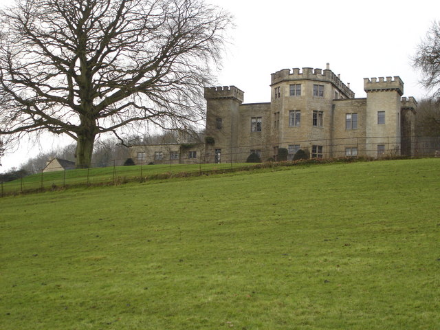
Kingscote Park, Gloucestershire

Kingscote Park (formerly Kingscote Cottage) is a Grade II listed house and country estate in Kingscote, near Tetbury, Gloucestershire, England. The original...

Lasborough

Lasborough is a settlement in Gloucestershire, England, part of the Westonbirt with Lasborough civil parish. Lasborough lies to the west of the A46, about...

Lasborough Park

Lasborough Park (or Lasborough House) is a Grade II listed country house in Newington Bagpath/Lasborough, Tetbury, Gloucestershire, England. The estate...

Kingscote, Gloucestershire

Kingscote is a village and civil parish in the Cotswold district of Gloucestershire, England, set on the uplands near the south western edge of the Cotswold...

A4135 road

The A4135 road is a road in Gloucestershire, England, connecting the town of Tetbury with the M5 motorway and the A38 road to the west, passing through...

Boxwell SSSI

Boxwell SSSI (grid reference ST816928) is a 5.31-hectare (13.1-acre) biological Site of Special Scientific Interest in Gloucestershire, notified in 1954...

Boxwell Court

Boxwell Court is a country house near Leighterton in Gloucestershire, England, about 5 km or 3 miles east of Wotton-under-Edge, dating from the 15th and...

Nearby Amenities

Located within 500m of 51.653654,-2.2681904
Barrier: cattle_grid
Lat/Long: 51.6519694/-2.2639131
Newington
Is In: Gloucestershire, England, UK
Place: hamlet
Lat/Long: 51.6519298/-2.2646159
The data included in this document is from www.openstreetmap.org. The data is made available under ODbL.

Have you been to Hay Bottom?

Leave your review of Hay Bottom below (or comments, questions and feedback).