Batch Dingle

Valley in Staffordshire South Staffordshire

England

Batch Dingle

Lane junction near Lindridge
Lane junction near Lindridge Credit: Row17

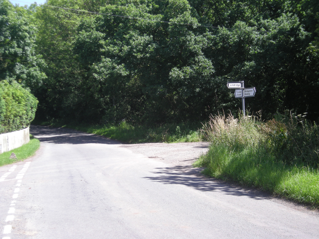
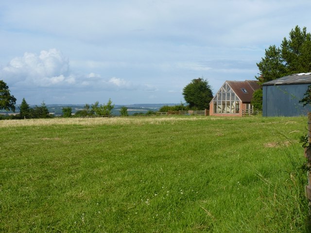
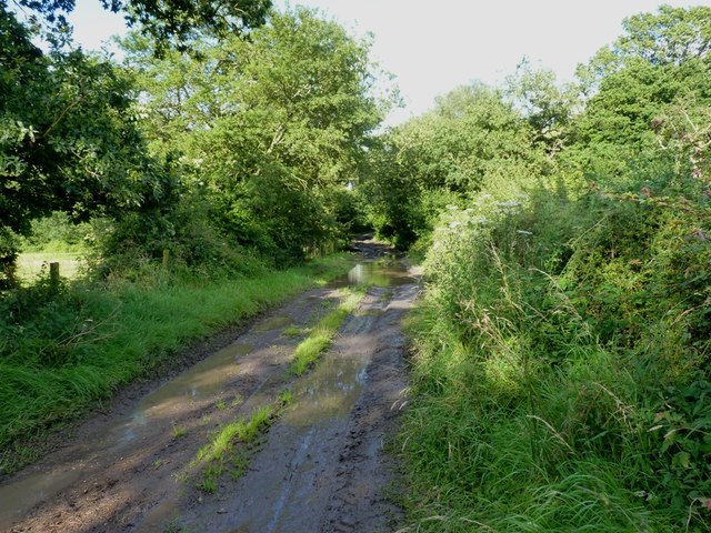
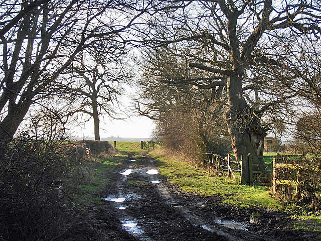
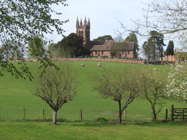
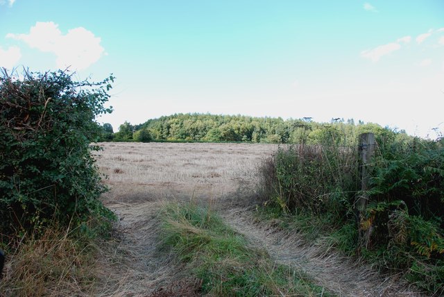
Batch Dingle is a small valley located in the county of Staffordshire, England. Nestled within the picturesque countryside, it is situated near the town of Leek, approximately 10 miles northeast of the city of Stoke-on-Trent. The valley is renowned for its natural beauty, with rolling green hills, meandering streams, and an abundance of wildlife.

The name "Batch Dingle" is derived from the Old English word "bæcce," meaning a small stream, and "dingle," which refers to a narrow valley. This aptly describes the geographical features of the area, as a charming stream flows through the valley, surrounded by dense woodlands and rugged hillsides.

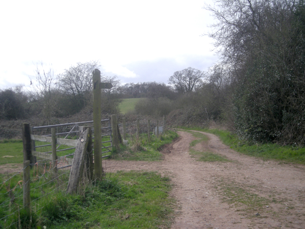
The valley is a popular destination for nature enthusiasts, hikers, and bird-watchers due to its diverse flora and fauna. Visitors can explore the numerous walking trails that wind through the valley, offering breathtaking views of the surrounding countryside.

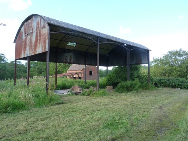
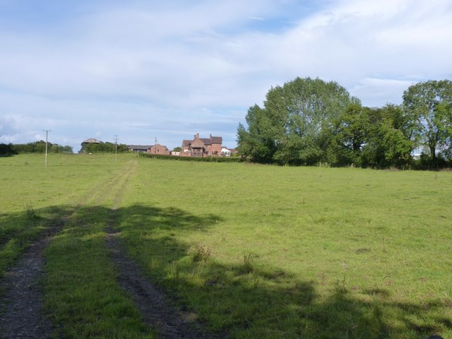
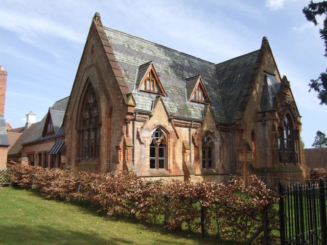
In addition to its natural attractions, Batch Dingle is also home to a small community of residents. The valley has a close-knit and friendly atmosphere, with a few scattered cottages and farms dotting the landscape. The residents often organize community events, such as fairs and farmers markets, which showcase the local produce and crafts.

Overall, Batch Dingle offers a tranquil escape from the hustle and bustle of city life, providing visitors with an opportunity to immerse themselves in the beauty of nature and experience the charm of a rural English valley.

If you have any feedback on the listing, please let us know in the comments section below.

Batch Dingle Images

Images are sourced within 2km of 52.474659/-2.2761765 or Grid Reference SO8186. Thanks to Geograph Open Source API. All images are credited.

Lane junction near Lindridge
Meeting of several farm tracks
Barrets - a couple of abandoned barns Two abandoned barns of different ages adjacent to the bridleway between The Hollies and Filletts farms.
Barrets - a couple of abandoned barns
Two abandoned barns of different ages adjacent to the bridleway between The Hollies and Filletts farms.
Towards High Barns Farm from the lane near Lindridge Grazing land west of High Barns Farm.
Towards High Barns Farm from the lane near Lindridge
Grazing land west of High Barns Farm.
Barn conversion just off Batfield Lane
A badly boggy bit The generally good bridleway between The Hollies and Filletts farms is rather let down by this boggy, muddy section in the woods.
A badly boggy bit
The generally good bridleway between The Hollies and Filletts farms is rather let down by this boggy, muddy section in the woods.
Farm track in winter
Enville Hall Grade II listed 16C&17C hall built by the Grey family, Earls of Stamford and Warrington. The extensive estate comprises 6500acres at Enville.
Enville Hall
Grade II listed 16C&17C hall built by the Grey family, Earls of Stamford and Warrington. The extensive estate comprises 6500acres at Enville.
View to Enville Church Quintessential English village church near to Enville Hall with sheep grazing the fields. The church is largely Norman built on to an earlier Saxon foundation. The tower dates from the mid 1870s and is  a late commission by George Gilbert Scott the renowned architect of churches, cathedrals and St Pancras Station.
View to Enville Church
Quintessential English village church near to Enville Hall with sheep grazing the fields. The church is largely Norman built on to an earlier Saxon foundation. The tower dates from the mid 1870s and is a late commission by George Gilbert Scott the renowned architect of churches, cathedrals and St Pancras Station.
Former Enville School School in the estate village erected by the Countess of Stamford and Warrington in the 1860s.
Former Enville School
School in the estate village erected by the Countess of Stamford and Warrington in the 1860s.
Gateway at Enville Hall The gate in the brick wall surrounding the hall leads into the landscaped gardens.
Gateway at Enville Hall
The gate in the brick wall surrounding the hall leads into the landscaped gardens.
Enville Cricket Club In the grounds of Enville Hall.
Enville Cricket Club
In the grounds of Enville Hall.
Scoreboard at Enville Cricket Club Built onto the wall surrounding Enville Hall.
Scoreboard at Enville Cricket Club
Built onto the wall surrounding Enville Hall.
Ha-ha at Enville Hall The Ha-ha or sunken wall feature separates the house and gardens from the grazing in the landscaped parkland.
Ha-ha at Enville Hall
The Ha-ha or sunken wall feature separates the house and gardens from the grazing in the landscaped parkland.
Main Entrance To Enville Hall.
Brindley Hall, Compton, Kinver This house was once owned by James Brindley, the man who played such a big part in the building of the Canals. Up until recent years it was owned by the Enville Estate and fell into disrepair, squatters moved in for a while, then it was sold to Developers, but when they came to renovate it, Bats were found in the roof and work had to stop. If anyone lives in it now I don't know, but with iron fence and Doberman dogs I will leave that to someone else to find out. The farm nextdoor is Union Hall Farm named after The Grand Union Canal.
Brindley Hall, Compton, Kinver
This house was once owned by James Brindley, the man who played such a big part in the building of the Canals. Up until recent years it was owned by the Enville Estate and fell into disrepair, squatters moved in for a while, then it was sold to Developers, but when they came to renovate it, Bats were found in the roof and work had to stop. If anyone lives in it now I don't know, but with iron fence and Doberman dogs I will leave that to someone else to find out. The farm nextdoor is Union Hall Farm named after The Grand Union Canal.
Gate House, Brindley Hall, Compton, Kinver High security, note one of the dogs in right hand corner.
Gate House, Brindley Hall, Compton, Kinver
High security, note one of the dogs in right hand corner.
Looking across to Birchwood
Show me another place!

Batch Dingle is located at Grid Ref: SO8186 (Lat: 52.474659, Lng: -2.2761765)

Administrative County: Staffordshire

District: South Staffordshire

Police Authority: Staffordshire

What 3 Words

///flute.stealthier.usual. Near Romsley, Shropshire

Related Wikis

Great Fountain, Enville

The Great Fountain, Enville, was a fountain created in the mid-19th century by the Earl of Stamford in the middle of a lake on his Enville Hall estate...

Enville Hall

Enville Hall is an English Tudor country house in the village of Enville, Staffordshire. It is a Grade II listed building.The house has a 16th and 17th...

Enville, Staffordshire

Enville is a village and civil parish in rural Staffordshire, England, on the A458 road between Stourbridge and Bridgnorth. Enville is in the South Staffordshire...

West Midlands (region)

The West Midlands is one of nine official regions of England at the first level of International Territorial Level for statistical purposes. It covers...

Kinver Edge

Kinver Edge is a high heath and woodland escarpment just west of Kinver, about four miles west of Stourbridge, and four miles north of Kidderminster, and...

Six Ashes

Six Ashes is a small village in Shropshire, England, on the Shropshire side of the border with Staffordshire. == See also == Tripartite Indenture ��2...

Kinver Edge Hillfort

Kinver Edge Hillfort, is a univallate Iron Age hillfort with a massive rampart and outer ditch along the south-west and south-east sides, with natural...

Kinver High School

Kinver High School (formerly Edgecliff High School) is a mixed secondary school and sixth form located in Kinver in the English county of Staffordshire...

Have you been to Batch Dingle?

Leave your review of Batch Dingle below (or comments, questions and feedback).