Great Bottom

Valley in Wiltshire

England

Great Bottom

White Sheet Castle Trig Point Flush Bracket S2228
White Sheet Castle Trig Point Flush Bracket S2228 Credit: thejackrustles

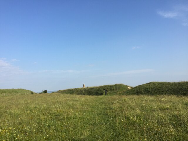
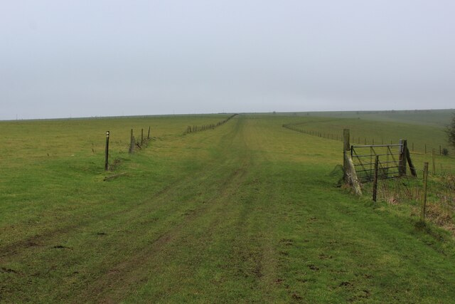
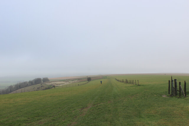
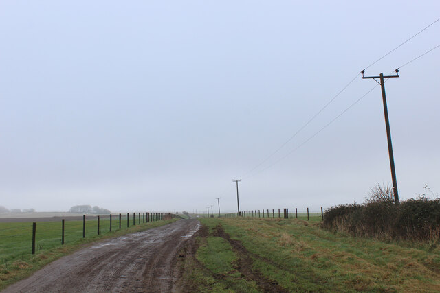
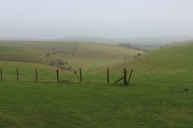
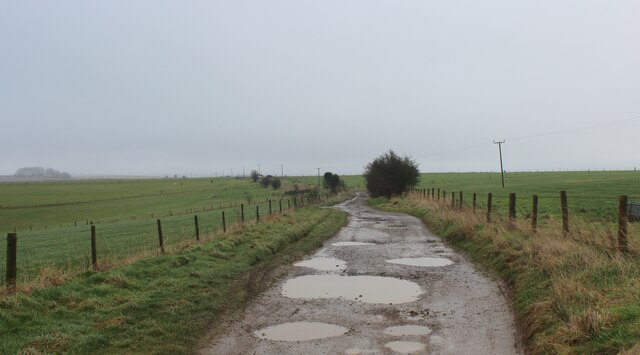
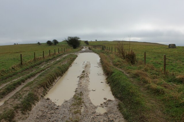
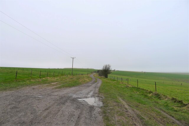
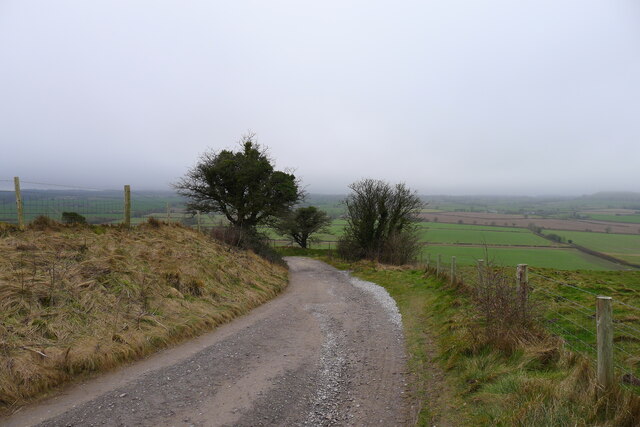
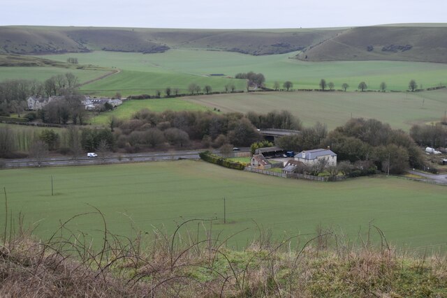
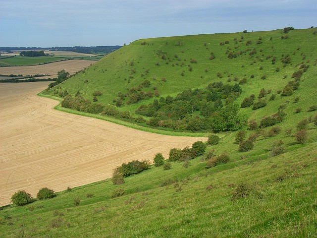
Great Bottom is a picturesque valley located in the county of Wiltshire, England. Nestled within the rolling hills of the Salisbury Plain, this rural area is known for its stunning natural beauty and tranquil atmosphere. The valley itself is situated near the village of Imber, and it is surrounded by lush green meadows and fields, providing a serene and idyllic setting.

The Great Bottom valley stretches for approximately two miles in length, and it is formed by the gentle slopes of the surrounding hills. The valley floor is predominantly flat and is characterized by fertile soil, making it an ideal location for agriculture. The area is primarily used for grazing livestock, particularly sheep and cattle, and it is not uncommon to see these animals peacefully grazing in the fields.

One of the defining features of Great Bottom is the River Wylye, which meanders through the valley, adding to its charm and beauty. The river is a tributary of the River Nadder and is known for its crystal-clear waters, which are home to various species of fish and other aquatic life.

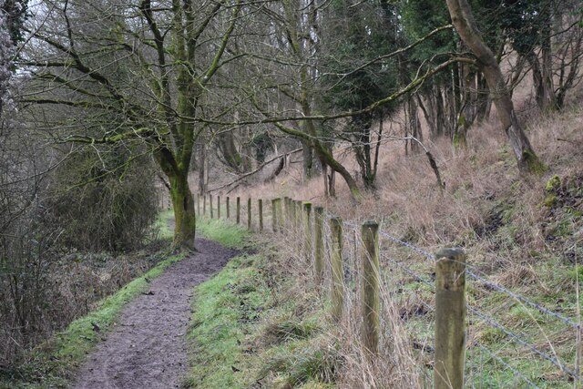
Great Bottom is also a popular destination for hikers and nature enthusiasts due to its extensive network of walking trails. These paths offer breathtaking views of the surrounding countryside, and visitors can enjoy the tranquility of the valley while exploring the diverse flora and fauna that inhabit the area.

Overall, Great Bottom is a picturesque valley in Wiltshire, offering a serene and scenic retreat for those seeking a peaceful escape in the heart of the English countryside.

If you have any feedback on the listing, please let us know in the comments section below.

Great Bottom Images

Images are sourced within 2km of 51.101519/-2.2686505 or Grid Reference ST8133. Thanks to Geograph Open Source API. All images are credited.

White Sheet Castle Trig Point Flush Bracket S2228
White Sheet Down ROC Station known as Mere <span class="nowrap"><a title="https://www.subbrit.org.uk/sites/mere-roc-post/" rel="nofollow ugc noopener" href="https://www.subbrit.org.uk/sites/mere-roc-post/">Link</a><img style="margin-left:2px;" alt="External link" title="External link - shift click to open in new window" src="https://s1.geograph.org.uk/img/external.png" width="10" height="10"/></span>
White Sheet Down ROC Station known as Mere
Did You Know?  White Castle Downs Sign
Did You Know? White Castle Downs Sign
Map of walks around White Sheet Hill
Between Rodmead Hill and White Sheet Hill The Mid Wilts Way follows the edge of windswept chalk downs
Between Rodmead Hill and White Sheet Hill
The Mid Wilts Way follows the edge of windswept chalk downs
Mid Wilts Way heading North East towards Rodmead Hill A 68 mile walk across Wiltshire.
<span class="nowrap"><a title="https://www.ldwa.org.uk/ldp/members/show_path.php?path_name=Mid-Wilts+Way" rel="nofollow ugc noopener" href="https://www.ldwa.org.uk/ldp/members/show_path.php?path_name=Mid-Wilts+Way">Link</a><img style="margin-left:2px;" alt="External link" title="External link - shift click to open in new window" src="https://s1.geograph.org.uk/img/external.png" width="10" height="10"/></span>
Mid Wilts Way heading North East towards Rodmead Hill
A 68 mile walk across Wiltshire. LinkExternal link
Byway on White Sheet Hill Heading east towards Mere Down
Byway on White Sheet Hill
Heading east towards Mere Down
View from White Sheet Hill Looks down into a dry valley, a typical feature of chalk country
View from White Sheet Hill
Looks down into a dry valley, a typical feature of chalk country
Track on White Sheet Hill
Chalky Puddles on White Sheet Hill Byway on White Sheet Hill
Chalky Puddles on White Sheet Hill
Byway on White Sheet Hill
The Mid Wilts Way running south-west from the top of Rodmead Hill
Byway leading off White Sheet Hill We leave our brief encounter with the Mid Wilts Way, and now turn to the west
Byway leading off White Sheet Hill
We leave our brief encounter with the Mid Wilts Way, and now turn to the west
Reservoirs on White Sheet Hill Wessex Water stores borehole-abstracted groundwater in three reservoirs on the hill, the first one built in 1953. They have a combined storage of over 11 megalitres, and supply water to the Yeovil area.
<span class="nowrap"><a title="https://www.wessexwater.co.uk/-/media/files/wessexwater/corporate/strategy-and-reports/business-plan/0509d--water-network-plus-meav-methodology.pdf" rel="nofollow ugc noopener" href="https://www.wessexwater.co.uk/-/media/files/wessexwater/corporate/strategy-and-reports/business-plan/0509d--water-network-plus-meav-methodology.pdf">Link</a><img style="margin-left:2px;" alt="External link" title="External link - shift click to open in new window" src="https://s1.geograph.org.uk/img/external.png" width="10" height="10"/></span> <span class="nowrap"><a title="https://www.wessexwater.co.uk/-/media/files/wessexwater/environment/water-resources-management-plan-2014.pdf" rel="nofollow ugc noopener" href="https://www.wessexwater.co.uk/-/media/files/wessexwater/environment/water-resources-management-plan-2014.pdf">Link</a><img style="margin-left:2px;" alt="External link" title="External link - shift click to open in new window" src="https://s1.geograph.org.uk/img/external.png" width="10" height="10"/></span>
Reservoirs on White Sheet Hill
Wessex Water stores borehole-abstracted groundwater in three reservoirs on the hill, the first one built in 1953. They have a combined storage of over 11 megalitres, and supply water to the Yeovil area. LinkExternal link LinkExternal link
Byway leaving White Sheet Hill The track curves round the top of the chalk down escarpment
Byway leaving White Sheet Hill
The track curves round the top of the chalk down escarpment
Bridge over A303 at Mere The bridge carries Manor Way, which in turn is carrying the Mid Wilts Way LDP.
Bridge over A303 at Mere
The bridge carries Manor Way, which in turn is carrying the Mid Wilts Way LDP.
Path on the northern flank of Long Hill
View over Mere from Long Hill
Looking towards White Sheet Downs from Mere Castle The A303 passes under the bridge near the centre of this view.
Looking towards White Sheet Downs from Mere Castle
The A303 passes under the bridge near the centre of this view.
Show me another place!

Great Bottom is located at Grid Ref: ST8133 (Lat: 51.101519, Lng: -2.2686505)

Unitary Authority: Wiltshire

Police Authority: Wiltshire

What 3 Words

///corner.lilac.rooting. Near Mere, Wiltshire

Nearby Locations

Great Bottom

Related Wikis

Castle Hill, Mere

Castle Hill, also called Mere Castle, was a medieval fortification built by Richard, the Earl of Cornwall, in 1253 on a hill overlooking the town of Mere...
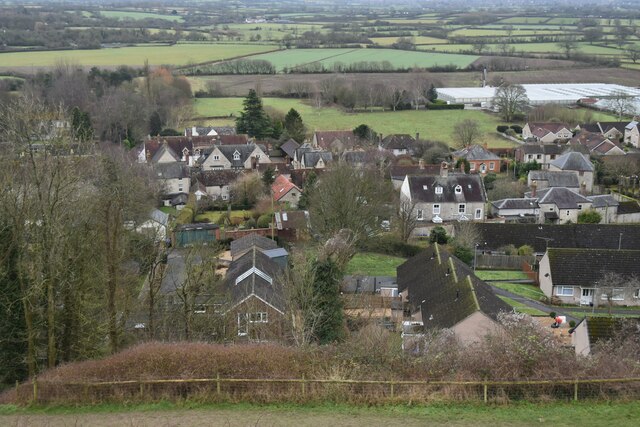
Mere, Wiltshire

Mere is a market town and civil parish in Wiltshire, England. It lies at the extreme southwestern tip of Salisbury Plain, close to the borders of Somerset...

White Sheet Hill

White Sheet Hill, also known as Whitesheet Hill, is a hill in the English county of Wiltshire. As one of the most westerly areas of downland in Britain...

Dead Maid Quarry

Dead Maid Quarry (grid reference ST803324) is a 4,400 square metre geological Site of Special Scientific Interest in Mere, Wiltshire, England, notified...

Related Videos

Places to go in Wiltshire - National Trust Stourhead

A visit to the beautiful National Trust Stourhead, nr Mere, Wiltshire on Saturday 3rd April 2021. The lockdown rules in England ...

A Walk Around Mere, Wiltshire

The town of Mere in Wiltshire contains some lovely old buildings. There is some interesting history too, and you can read more at ...

Karei Début

First outing, a month ago, and there was no wind, this time there was wind but drizzle too. It seems the weather Gods are ...

One June HOT day (32ºC) on White Sheet Hill

First time flying this year; a new model built during the Pandemic, a variation of the Aeolus from the 1980s designed by my brother ...

Nearby Amenities

Located within 500m of 51.101519,-2.2686505
Great Bottom
Place: locality
Lat/Long: 51.104101/-2.2716574
The data included in this document is from www.openstreetmap.org. The data is made available under ODbL.

Have you been to Great Bottom?

Leave your review of Great Bottom below (or comments, questions and feedback).