Bishopside Cleugh

Valley in Northumberland

England

Bishopside Cleugh

The Old School House The Old School House at Keenley is at a crossroads and seen here along the road to the west-south-west; it dates from 1875 and is a listed building. The road is also part of the route of Isaac's Tea Trail.
The Old School House Credit: Trevor Littlewood

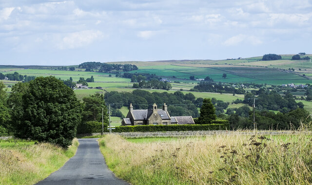
Bishopside Cleugh is a picturesque valley located in Northumberland, a county in the northeast of England. Nestled between the rolling hills and bordering the Scottish border, this valley is known for its breathtaking natural beauty and rich history.

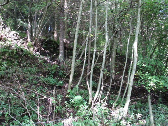
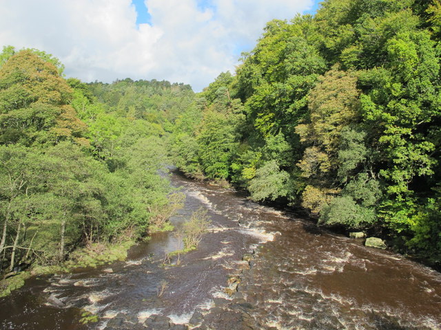
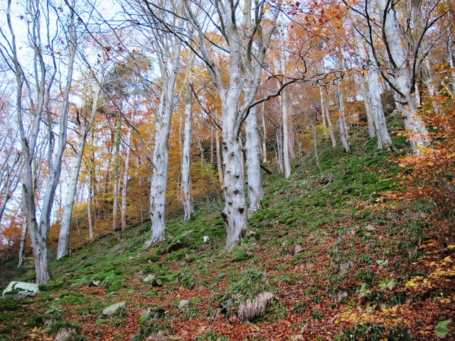
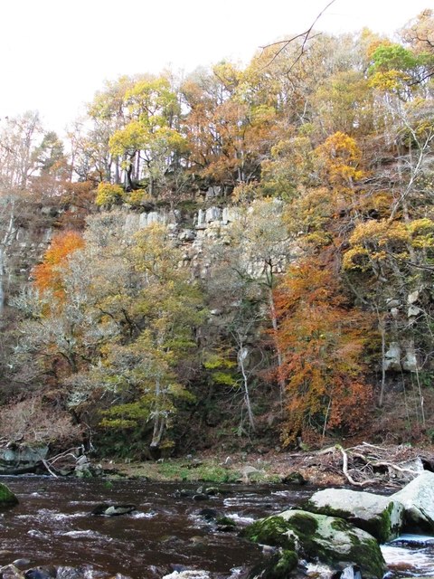
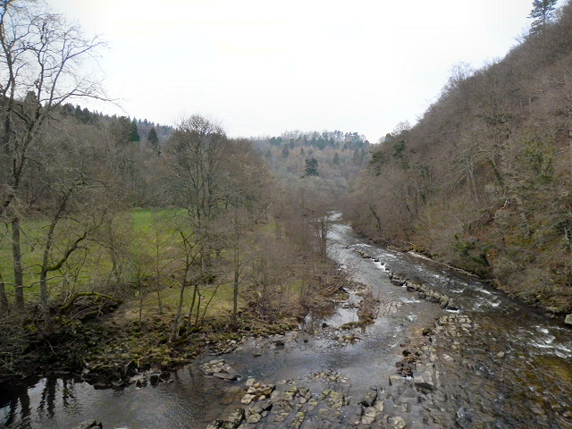
The valley is characterized by its lush green meadows, dense forests, and a winding river that runs through it. The river, known as the Cleugh Burn, adds to the charm of the landscape, providing a tranquil and serene atmosphere.

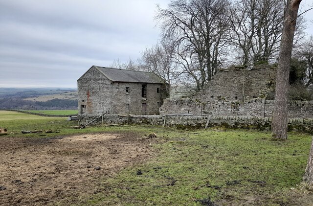
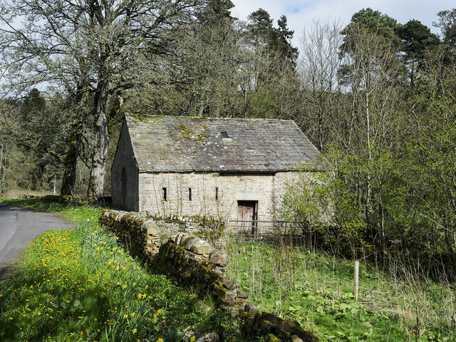
Bishopside Cleugh has a long and fascinating history. It was once a thriving mining area, with coal being the primary industry during the 19th and early 20th centuries. The remnants of the old mines can still be seen in some parts of the valley, adding an element of historical interest.

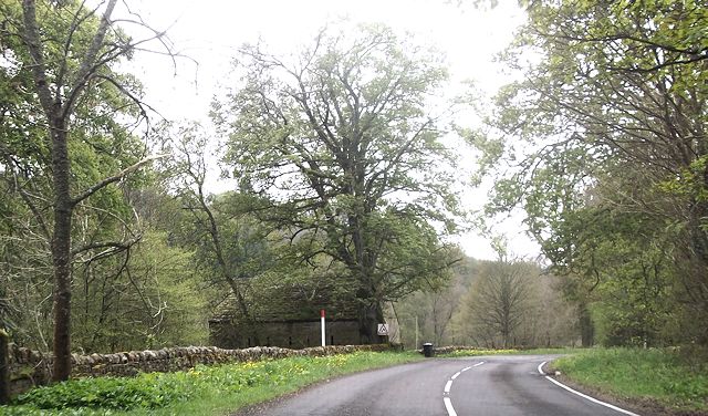
Nature enthusiasts will find plenty to explore in Bishopside Cleugh. The valley is home to a diverse range of flora and fauna, including various bird species, wildflowers, and butterflies. Walking and hiking trails crisscross the area, offering visitors the opportunity to immerse themselves in the beauty of the countryside.

The valley is also a popular spot for outdoor activities such as fishing, picnicking, and camping. The peaceful surroundings and stunning views make it an ideal destination for those seeking a break from the hustle and bustle of city life.

Overall, Bishopside Cleugh is a hidden gem in Northumberland, offering visitors a chance to experience the tranquility and natural splendor of the English countryside. With its rich history and stunning landscapes, it is a destination that is sure to captivate all who visit.

If you have any feedback on the listing, please let us know in the comments section below.

Bishopside Cleugh Images

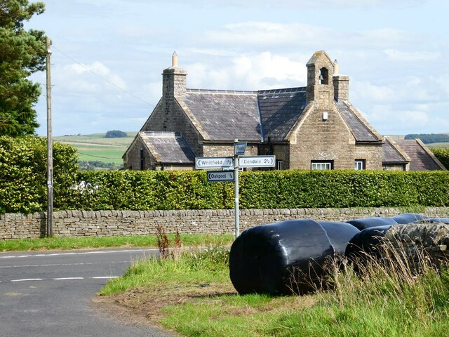
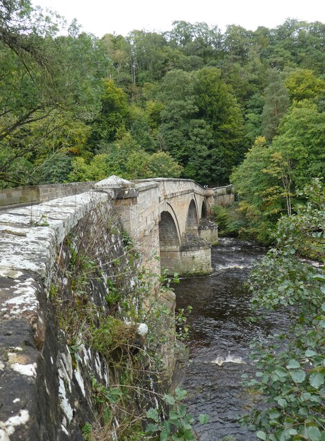
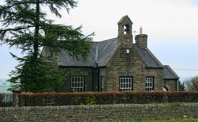
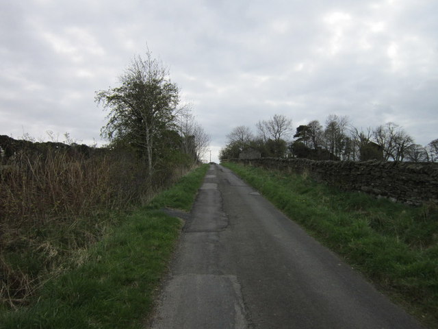
Images are sourced within 2km of 54.918898/-2.3010802 or Grid Reference NY8058. Thanks to Geograph Open Source API. All images are credited.

The Old School House The Old School House at Keenley is at a crossroads and seen here along the road to the west-south-west; it dates from 1875 and is a listed building. The road is also part of the route of Isaac's Tea Trail.
The Old School House
The Old School House at Keenley is at a crossroads and seen here along the road to the west-south-west; it dates from 1875 and is a listed building. The road is also part of the route of Isaac's Tea Trail.
Derelict Outbuildings at Keenleywell House A couple of derelict outbuildings at Keenleywell House.
Derelict Outbuildings at Keenleywell House
A couple of derelict outbuildings at Keenleywell House.
Barn close to Cupola Cottages In the West Allen valley close to the confluence of the Rivers East and West Allen. The cottages are off to the right and Cupola Bridge is a short distance along the road.
Barn close to Cupola Cottages
In the West Allen valley close to the confluence of the Rivers East and West Allen. The cottages are off to the right and Cupola Bridge is a short distance along the road.
Gas pipeline markers Near Keenleywell House.
Gas pipeline markers
Near Keenleywell House.
Keenleywell House Still displaying its antecedents as old the School House.
Keenleywell House
Still displaying its antecedents as old the School House.
Cupola Bridge
Cupola Bridge
Keenley Old School House at Keenley.
Keenley
Old School House at Keenley.
Looking towards Keenleywell House
The remains of Dodd Bank lime kiln
The River Allen below Cupola Bridge (2) See <a href="https://www.geograph.org.uk/photo/2075507">NY7959 : The River Allen below Cupola Bridge</a> for a similar view in August (2010) when the water level was quite low.
The River Allen below Cupola Bridge (2)
See NY7959 : The River Allen below Cupola Bridge for a similar view in August (2010) when the water level was quite low.
Remains of lime kiln on Carling Haugh
Remains of lime kiln on Carling Haugh (2)
Cupola Banks
Cupola Banks
Blaeberry Crags above the River Allen
Fallen leaves at Cupola Banks See <a href="https://www.geograph.org.uk/photo/3219476">NY7959 : Cupola Banks</a>.
Fallen leaves at Cupola Banks
River Allen Looking upstream from Cupola Bridge.
River Allen
Looking upstream from Cupola Bridge.
Cupola by the A686 below the hairpins
Show me another place!

Bishopside Cleugh is located at Grid Ref: NY8058 (Lat: 54.918898, Lng: -2.3010802)

Unitary Authority: Northumberland

Police Authority: Northumbria

What 3 Words

///lung.sofas.corn. Near Bardon Mill, Northumberland

Related Wikis

Allen Confluence Gravels

The Allen Confluence Gravels is the name given to a Site of Special Scientific Interest (SSSI) in Northumberland, England. The site, listed since 1968...

Staward Halt railway station

Staward Halt is a closed stone built railway station situated on a single track branch railway line in Northumberland, England, that ran from Allendale...

Catton, Northumberland

Catton is a village in Northumberland, England. It is about 7 miles (11 km) to the southwest of Hexham and is located on the outskirts of Allendale �...

Bearsbridge

Bearsbridge is a village in Northumberland, in England. It is situated to the west of Hexham, on the A686. == Governance == Bearsbridge is in the parliamentary...

Nearby Amenities

Located within 500m of 54.918898,-2.3010802
Low Bishopside
Place: locality
Lat/Long: 54.9178667/-2.3012242
Wide Eals Haugh
Place: locality
Lat/Long: 54.9166295/-2.3064843
Power: pole
Lat/Long: 54.9203736/-2.3053077
Power: pole
Lat/Long: 54.9205494/-2.3039344
Power: pole
Lat/Long: 54.9207189/-2.302663
Power: pole
Lat/Long: 54.9208438/-2.3003322
Power: pole
Lat/Long: 54.9208777/-2.2990018
Power: pole
Lat/Long: 54.9208669/-2.2976795
Power: pole
Lat/Long: 54.9208723/-2.2963464
The data included in this document is from www.openstreetmap.org. The data is made available under ODbL.

Have you been to Bishopside Cleugh?

Leave your review of Bishopside Cleugh below (or comments, questions and feedback).