Bishopside Plantation
Wood, Forest in Northumberland
England
Bishopside Plantation
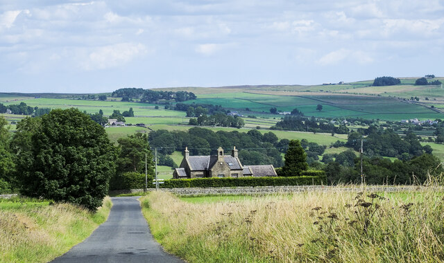
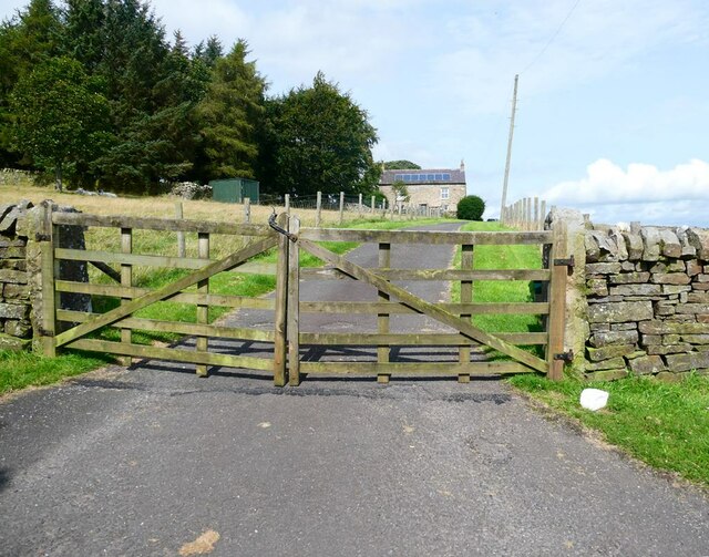
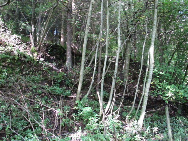
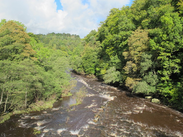
Bishopside Plantation is a picturesque woodland located in Northumberland, England. Situated near the village of Wood, this captivating forest spans over a vast area and offers a tranquil escape for nature enthusiasts.
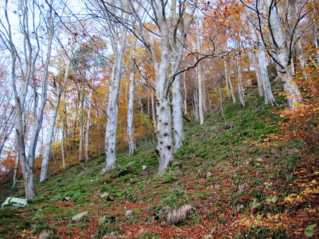
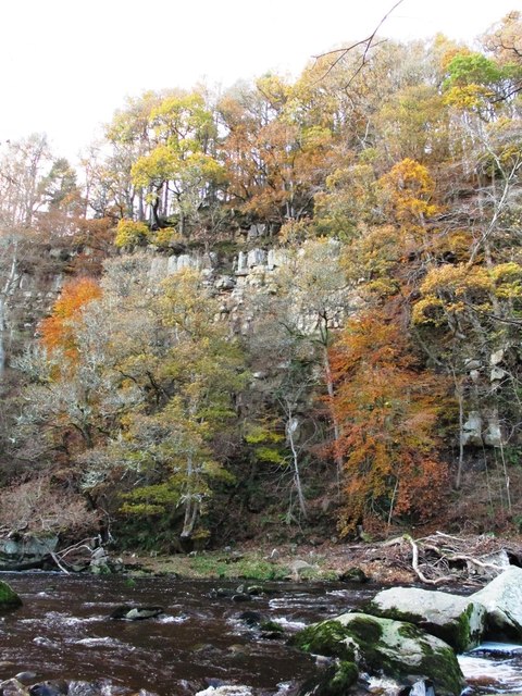
The plantation is characterized by its diverse mix of tree species, including oak, beech, birch, and pine. The lush greenery creates a stunning landscape that changes with the seasons, with vibrant colors in the autumn and fresh growth in the spring. The dense canopy of the trees provides shelter to a wide variety of wildlife, making it a popular spot for birdwatchers and animal lovers.
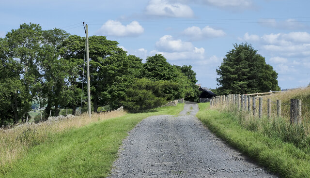
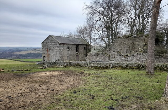
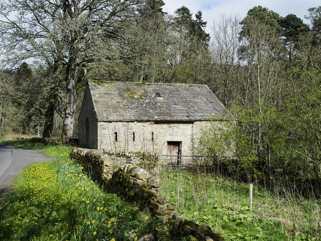
Traversing through Bishopside Plantation, visitors can explore an extensive network of well-maintained walking trails. These pathways wind through the forest, guiding visitors to discover hidden gems such as babbling brooks, wildflower meadows, and ancient ruins. The peaceful ambiance of the woodland creates a serene atmosphere, allowing visitors to immerse themselves in the beauty of nature.
In addition to its natural attractions, Bishopside Plantation also offers recreational activities for visitors. The forest is equipped with picnic areas, providing a perfect spot for families and friends to enjoy a leisurely lunch amidst the scenic surroundings. Moreover, the plantation organizes educational programs and workshops to raise awareness about conservation and the importance of sustainable forestry.
Bishopside Plantation, with its captivating beauty and abundant wildlife, is a haven for nature enthusiasts and a valuable asset to the community of Wood, Northumberland.
If you have any feedback on the listing, please let us know in the comments section below.
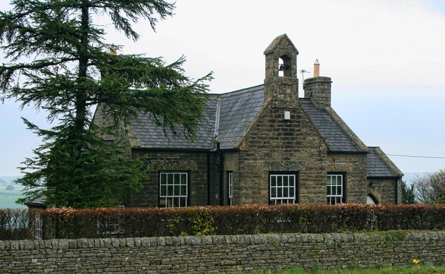
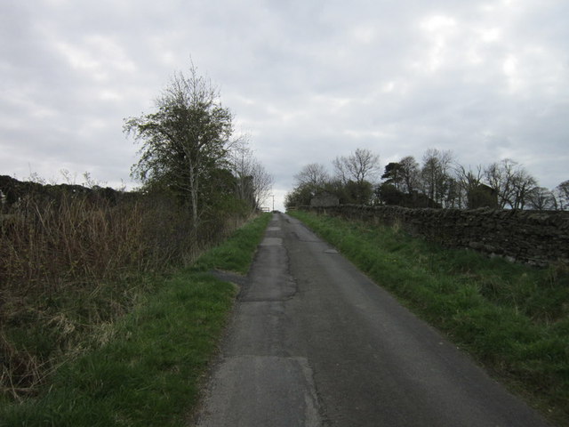
Bishopside Plantation Images
Images are sourced within 2km of 54.916846/-2.3022349 or Grid Reference NY8058. Thanks to Geograph Open Source API. All images are credited.


Bishopside Plantation is located at Grid Ref: NY8058 (Lat: 54.916846, Lng: -2.3022349)
Unitary Authority: Northumberland
Police Authority: Northumbria
What 3 Words
///smug.sunblock.resonated. Near Bardon Mill, Northumberland
Nearby Locations
Related Wikis

Allen Confluence Gravels
The Allen Confluence Gravels is the name given to a Site of Special Scientific Interest (SSSI) in Northumberland, England. The site, listed since 1968...

Staward Halt railway station
Staward Halt is a closed stone built railway station situated on a single track branch railway line in Northumberland, England, that ran from Allendale...

Catton, Northumberland
Catton is a village in Northumberland, England. It is about 7 miles (11 km) to the southwest of Hexham and is located on the outskirts of Allendale �...
Bearsbridge
Bearsbridge is a village in Northumberland, in England. It is situated to the west of Hexham, on the A686. == Governance == Bearsbridge is in the parliamentary...

Allendale railway station
Allendale railway station was the terminus of the single track branch of the Hexham and Allendale Railway, in north east England. The line connected villages...

Staward Peel
Staward Peel, or Staward Pele, is a peel tower located in the National Trust property of Allen Banks & Staward Gorge in Northumberland, England. ��2�...

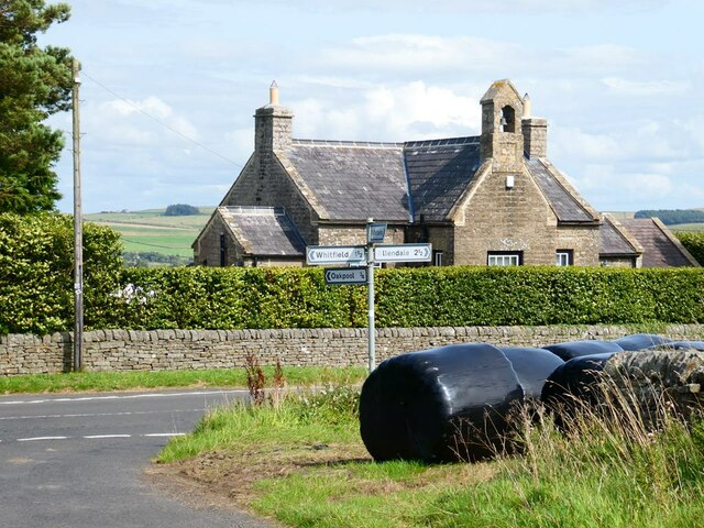
Whitfield, Northumberland
Whitfield is a village and former civil parish, now in the parish of Plenmeller with Whitfield, in the county of Northumberland, England about 10 miles...

Museum of Classic Sci-Fi
The Museum of Classic Sci-Fi is in Allendale, Northumberland in England. The museum opened in 2018 and houses a collection of more than 200 props, costumes...
Nearby Amenities
Located within 500m of 54.916846,-2.3022349Have you been to Bishopside Plantation?
Leave your review of Bishopside Plantation below (or comments, questions and feedback).