Dean Cleugh
Valley in Northumberland
England
Dean Cleugh
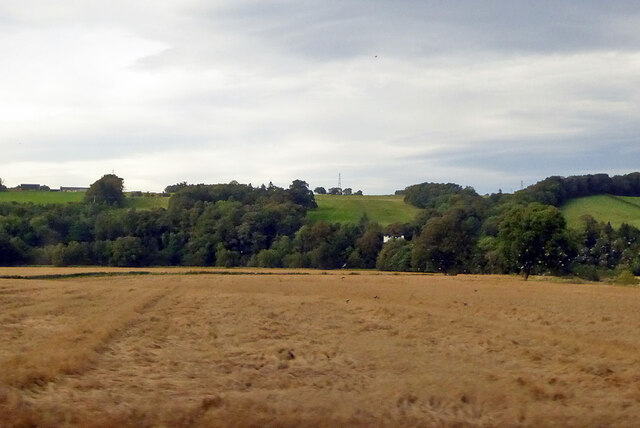
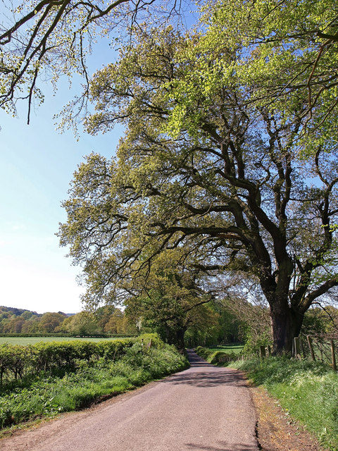
Dean Cleugh is a small village located in the picturesque county of Northumberland, England. Nestled within the stunning Northumberland National Park, the village is situated in a valley, hence its name "Dean Cleugh," which means "valley hollow" in the local dialect.
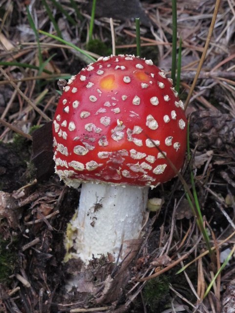
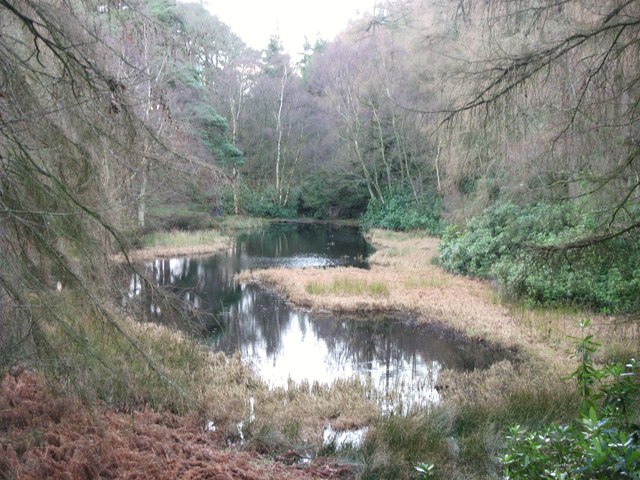
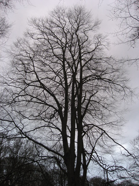
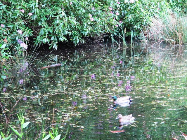
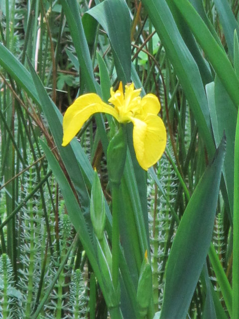
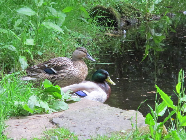
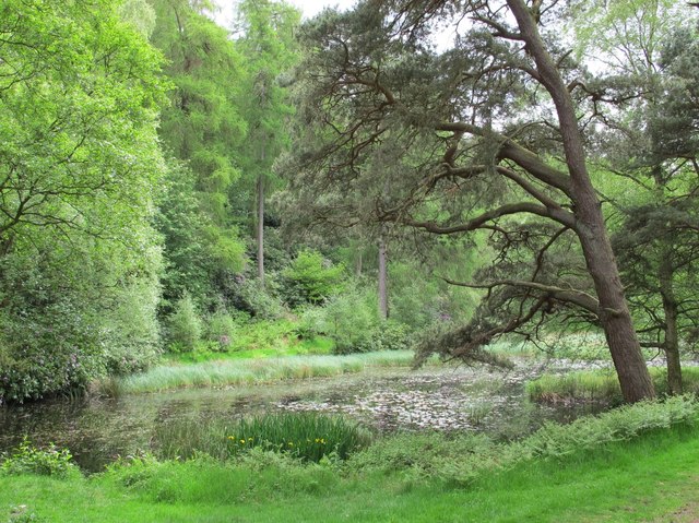
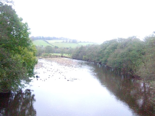
The village offers a tranquil and idyllic setting, with rolling hills, lush green fields, and meandering streams that add to its natural beauty. It is a popular destination for nature lovers and outdoor enthusiasts, who can enjoy activities such as hiking, cycling, and birdwatching in the surrounding countryside.
The village itself is characterized by its traditional stone-built houses and charming cottages, which exude a sense of old-world charm. It has a small, close-knit community that takes pride in preserving its local heritage and maintaining a sense of community spirit.
Although Dean Cleugh is a relatively quiet village, it is conveniently located near several larger towns and cities. The nearby town of Hexham, just a short drive away, offers a range of amenities including shops, restaurants, and leisure facilities. The vibrant city of Newcastle upon Tyne is also within easy reach, providing access to further amenities and cultural attractions.
In summary, Dean Cleugh is a peaceful and picturesque village in Northumberland, offering a perfect retreat for those seeking a slower pace of life amidst stunning natural surroundings.
If you have any feedback on the listing, please let us know in the comments section below.
Dean Cleugh Images
Images are sourced within 2km of 54.979283/-2.3299371 or Grid Reference NY7865. Thanks to Geograph Open Source API. All images are credited.


Dean Cleugh is located at Grid Ref: NY7865 (Lat: 54.979283, Lng: -2.3299371)
Unitary Authority: Northumberland
Police Authority: Northumbria
What 3 Words
///brushing.nurtures.curiosity. Near Bardon Mill, Northumberland
Nearby Locations
Related Wikis

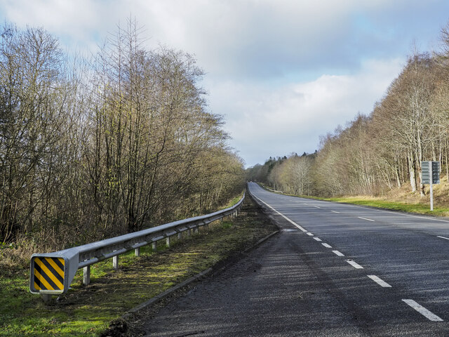
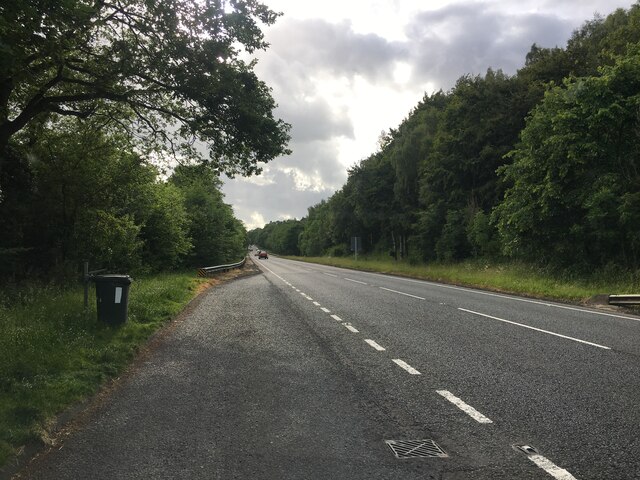
A69 road
The A69 is a major northern trunk road in England, running east–west across the Pennines, through the counties of Tyne and Wear, Northumberland and Cumbria...

Bardon Mill
Bardon Mill is a small village in Northumberland, within the vicinity of the ancient Hadrian's Wall. It is located around 10+1⁄2 miles (17 kilometres)...

Beltingham River Shingle
Beltingham River Shingle is the name given to a Site of Special Scientific Interest (SSSI) in Northumberland in the north-east of England, notable for...
Ridley Hall, Northumberland
Ridley Hall is an 18th-century country house, now a residential and conference centre, at Bardon Mill, Northumberland. It is a Grade II listed building...

Bardon Mill railway station
Bardon Mill is a railway station on the Tyne Valley Line, which runs between Newcastle and Carlisle via Hexham. The station, situated 27 miles 54 chains...

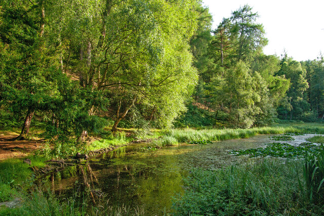
River Allen, Northumberland
The River Allen is a river in the English county of Northumberland. The river has its sources in the hills of the Northern Pennines, and is formed by the...

Beltingham
Beltingham is a small village on the River South Tyne in Northumberland, in England. It is situated 1 mile (2 km) southeast of Bardon Mill and 10 miles...

Redburn, Northumberland
Redburn is a village in Northumberland, England about 0.5 miles (0.80 km) west of Bardon Mill. It is situated about 4 miles (6 km) south of Hadrian's Wall...
Nearby Amenities
Located within 500m of 54.979283,-2.3299371Have you been to Dean Cleugh?
Leave your review of Dean Cleugh below (or comments, questions and feedback).