Middle Bottom
Valley in Dorset
England
Middle Bottom
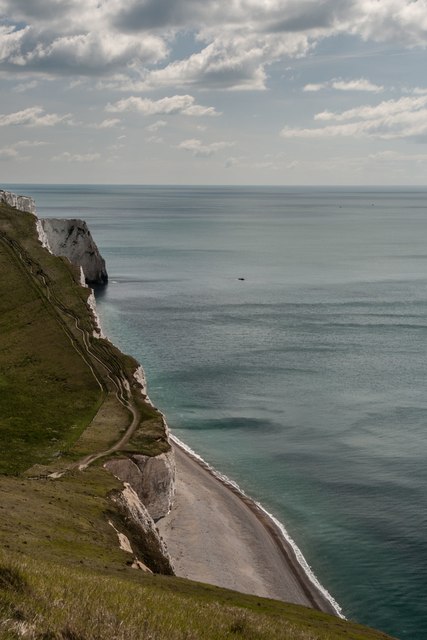
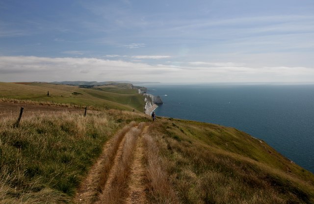
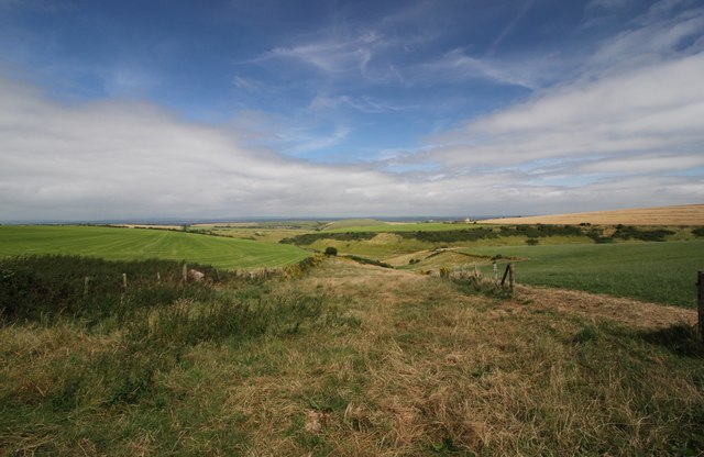
Middle Bottom is a quaint village located in the picturesque county of Dorset, England. Situated in a valley, the village is surrounded by lush greenery and rolling hills, offering stunning panoramic views of the countryside. With a population of around 500 residents, Middle Bottom exudes a sense of tranquility and community spirit.
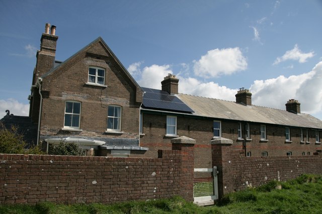
The village is characterized by its traditional English architecture, consisting mainly of charming cottages and historic buildings. The local church, St. Mary's, stands proudly at the heart of the village, with its striking bell tower and beautiful stained glass windows. The church dates back to the 12th century and serves as a focal point for religious and social gatherings.
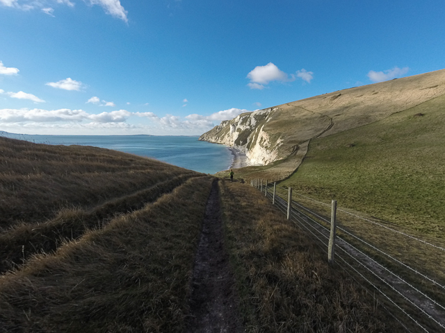
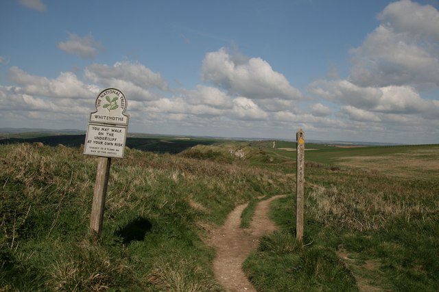
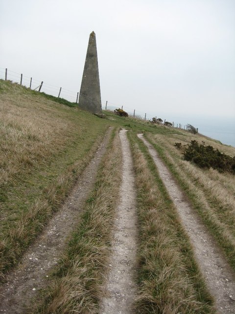
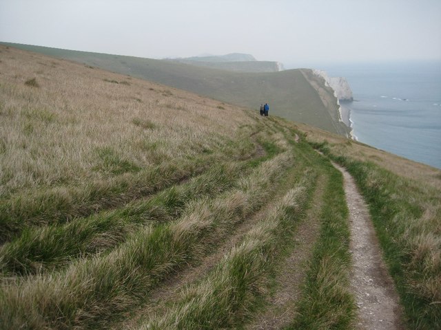
Middle Bottom is blessed with an abundance of natural beauty, making it a haven for outdoor enthusiasts. The surrounding countryside offers numerous walking and cycling trails, allowing visitors to explore the stunning landscapes and soak in the peaceful ambiance. The village is also home to a small but well-maintained park, where families can enjoy picnics, games, and leisurely strolls.
Despite its rural setting, Middle Bottom caters to the needs of its inhabitants with essential amenities. The village boasts a cozy pub, The Green Man, which serves delicious local cuisine and acts as a hub for socializing. Additionally, there is a village shop that provides basic groceries and everyday supplies.
Overall, Middle Bottom, Dorset, is a charming and idyllic village that captivates visitors with its natural beauty, historic charm, and strong sense of community. It offers a peaceful retreat from the hustle and bustle of modern life, making it a truly special place to visit or call home.
If you have any feedback on the listing, please let us know in the comments section below.
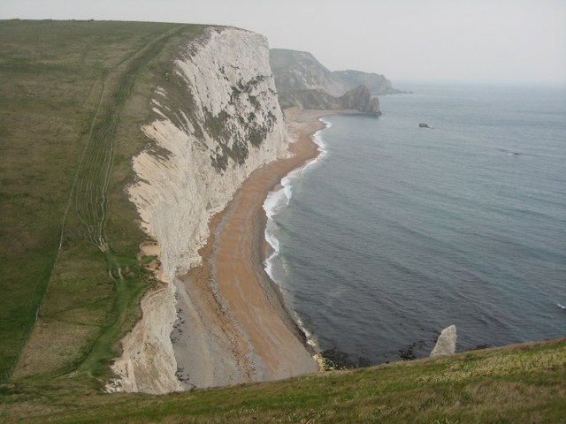
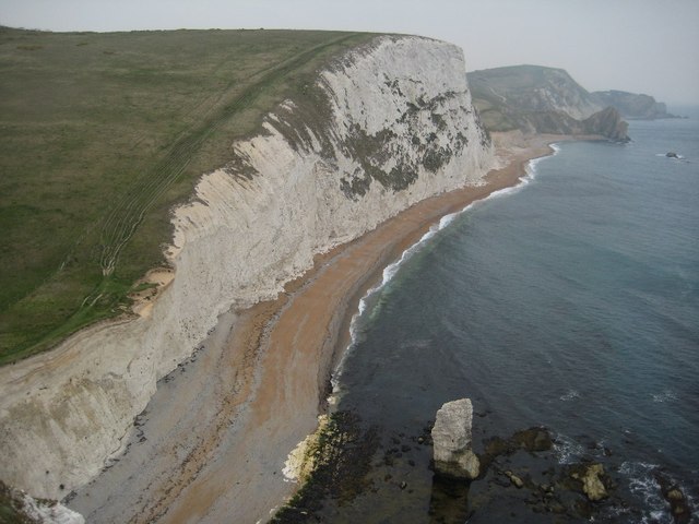
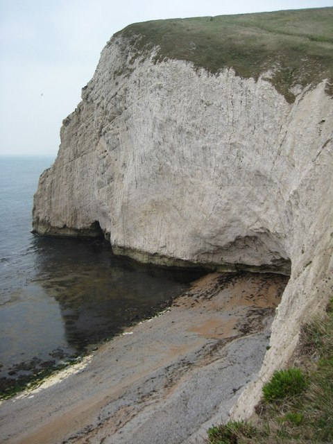
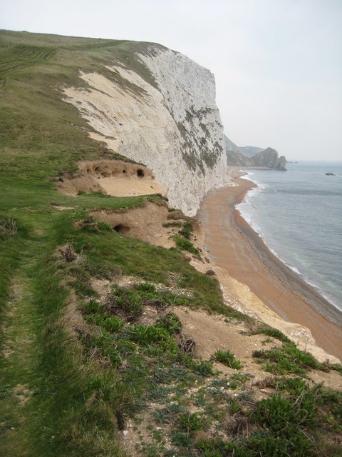
Middle Bottom Images
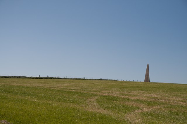
Images are sourced within 2km of 50.625223/-2.2983695 or Grid Reference SY7880. Thanks to Geograph Open Source API. All images are credited.

Middle Bottom is located at Grid Ref: SY7880 (Lat: 50.625223, Lng: -2.2983695)
Unitary Authority: Dorset
Police Authority: Dorset
What 3 Words
///commit.courts.earpiece. Near Wool, Dorset
Nearby Locations
Related Wikis
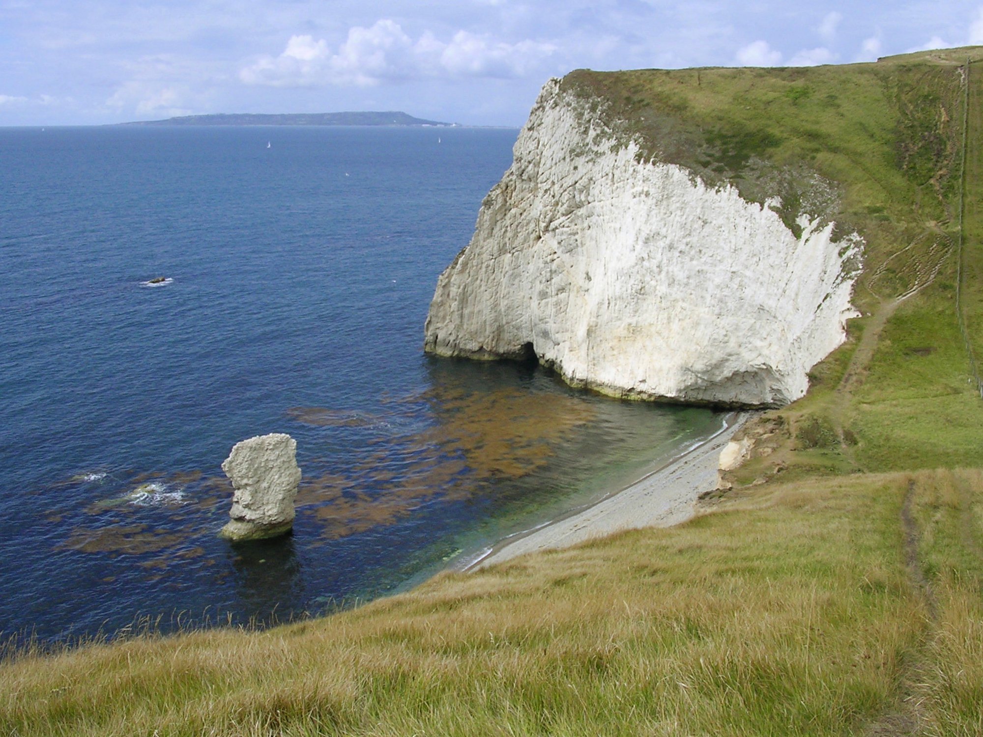
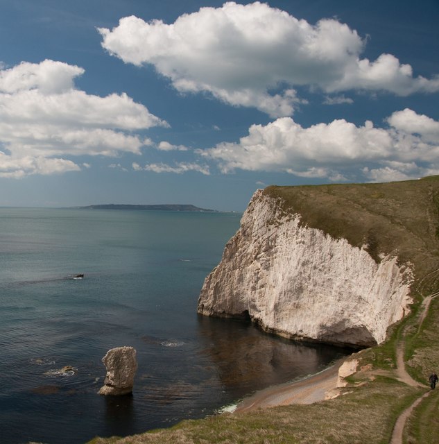
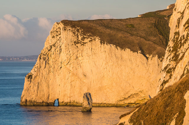
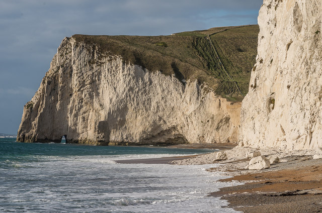
Bat's Head
Bat's Head is a chalk headland on the Dorset coast in southern England, located between Swyre Head and Durdle Door to the east, and Chaldon Hill and White...
Chaldon Hill
Chaldon Hill, also called Chaldon Down, is one of the highest hills, 178 metres (584 ft), on South Dorset's Jurassic Coast in England. The summit is about...

Swyre Head, Lulworth
Swyre Head, Lulworth is a hill and sea cliff which lies on the Jurassic Coast between Bat's Head to the west and Durdle Door to the east, close to Lulworth...

Scratchy Bottom
Scratchy Bottom (or Scratchy's Bottom) is a clifftop valley between Durdle Door and Bat's Head in Dorset, England. A dry valley in the chalk, it is surrounded...
Nearby Amenities
Located within 500m of 50.625223,-2.2983695Have you been to Middle Bottom?
Leave your review of Middle Bottom below (or comments, questions and feedback).