Teesdale
Valley in Westmorland Eden
England
Teesdale
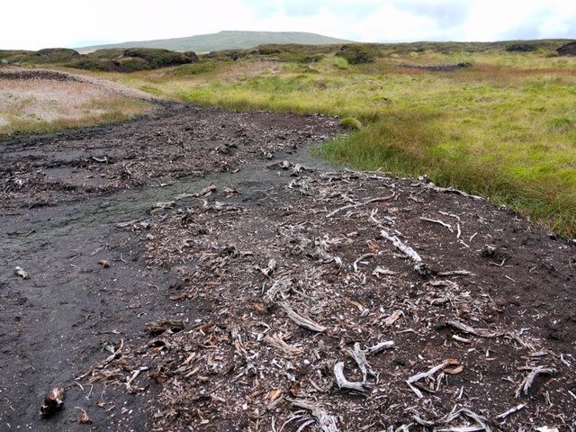
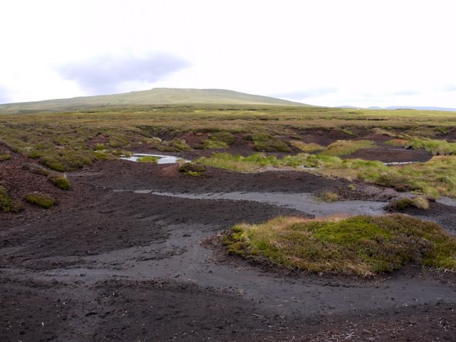
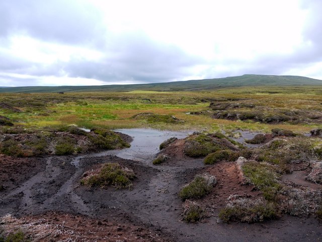
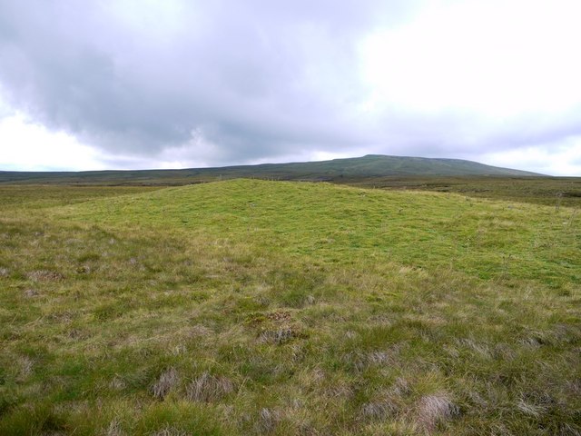
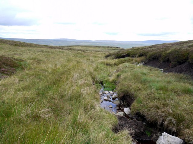
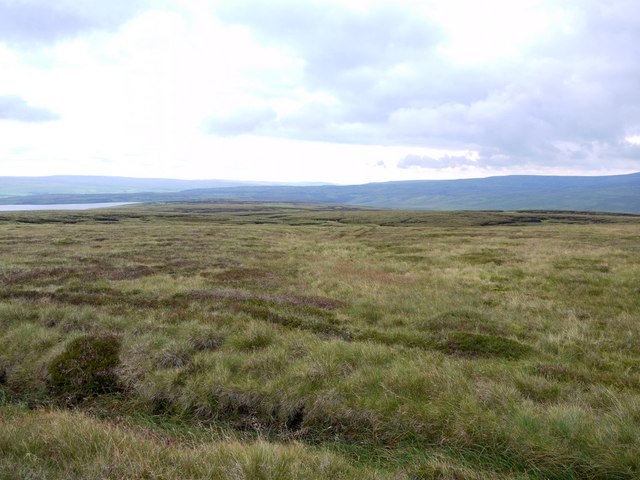
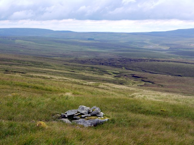
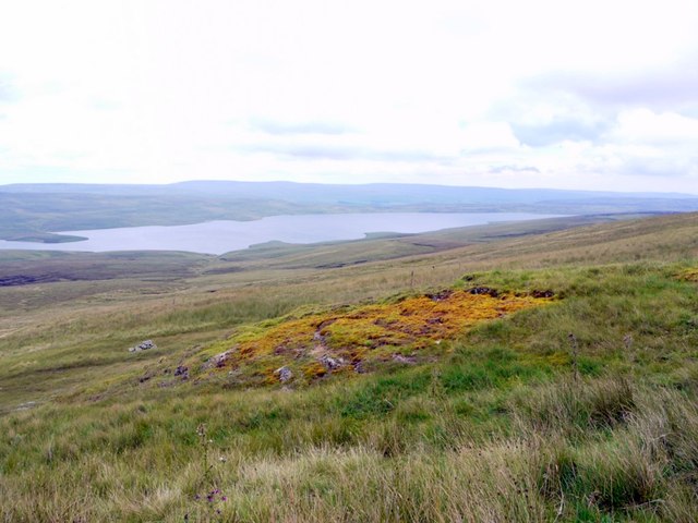
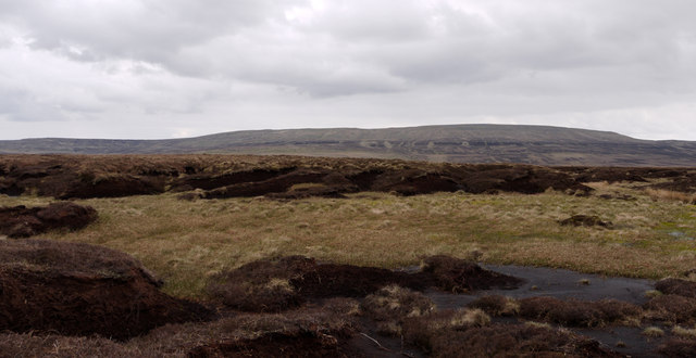
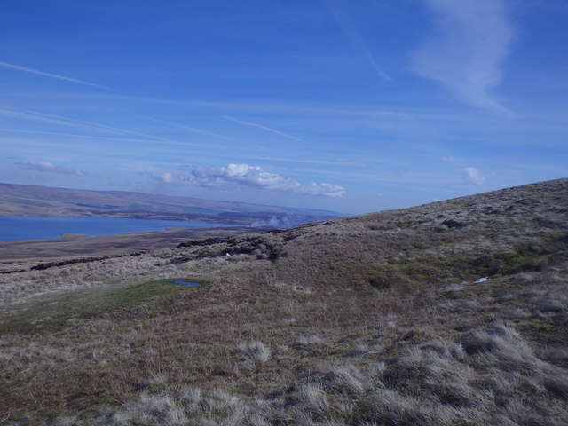
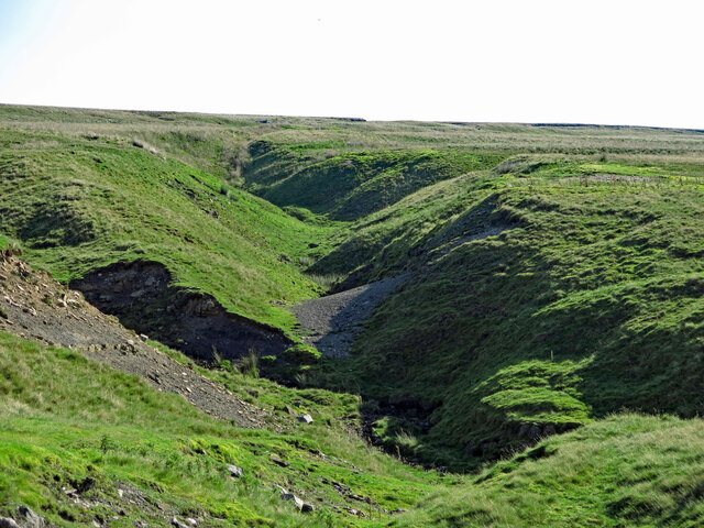
Teesdale, located in the county of Westmorland in North West England, is a picturesque valley renowned for its natural beauty and charming rural landscape. Spanning approximately 60 miles, the valley is nestled within the larger Pennines mountain range and is characterized by its rolling hills, lush green meadows, and meandering river Tees.
The valley is home to several quaint villages and hamlets, including Middleton-in-Teesdale, Eggleston, and Romaldkirk, each offering a unique glimpse into the region's rich history and traditional way of life. The area has been inhabited since ancient times, with evidence of settlements dating back to the Iron Age, and is dotted with historic buildings, churches, and ruins that bear testimony to its past.
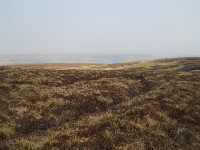
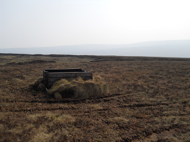
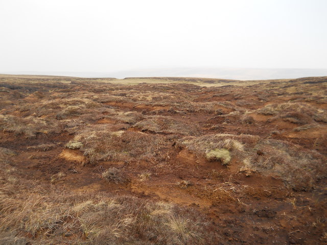
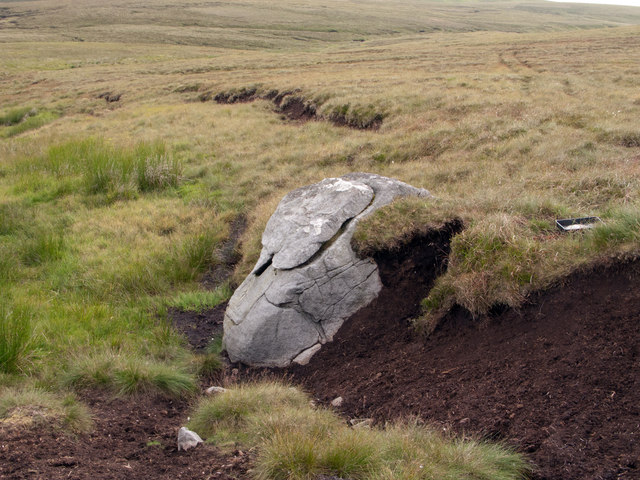
Teesdale is renowned for its diverse flora and fauna, with a variety of habitats supporting a wide range of species. The area is particularly known for its wildflower meadows, which burst into a riot of colors during the summer months. The valley is also a haven for wildlife enthusiasts, with otters, red squirrels, and various bird species being regularly spotted.
Outdoor enthusiasts flock to Teesdale to explore its extensive network of walking trails and cycling routes, which offer breathtaking views of the surrounding countryside. High Force, one of England's most stunning waterfalls, is a major attraction in the valley, drawing visitors from far and wide.
Overall, Teesdale, Westmorland is a tranquil and idyllic destination that offers a perfect blend of natural beauty, cultural heritage, and outdoor activities, making it a must-visit for nature lovers and history enthusiasts alike.
If you have any feedback on the listing, please let us know in the comments section below.
Teesdale Images
Images are sourced within 2km of 54.671824/-2.3283373 or Grid Reference NY7830. Thanks to Geograph Open Source API. All images are credited.
Teesdale is located at Grid Ref: NY7830 (Lat: 54.671824, Lng: -2.3283373)
Administrative County: Cumbria
District: Eden
Police Authority: Cumbria
What 3 Words
///polar.texts.decimal. Near Holwick, Co. Durham
Nearby Locations
Related Wikis
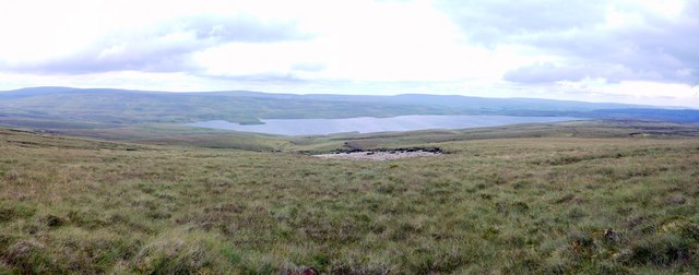
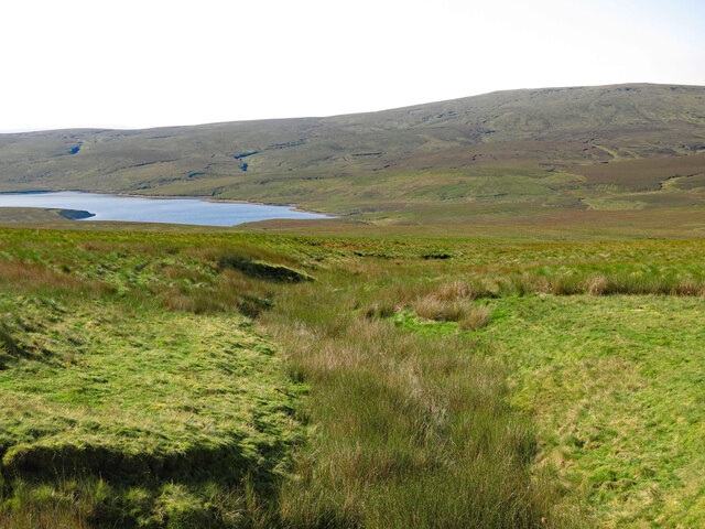
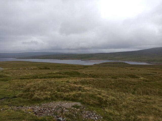
Cow Green Reservoir
Cow Green Reservoir is a 2-mile (3 km) long water reservoir forming part of the border between the historic counties of Westmorland and County Durham in...

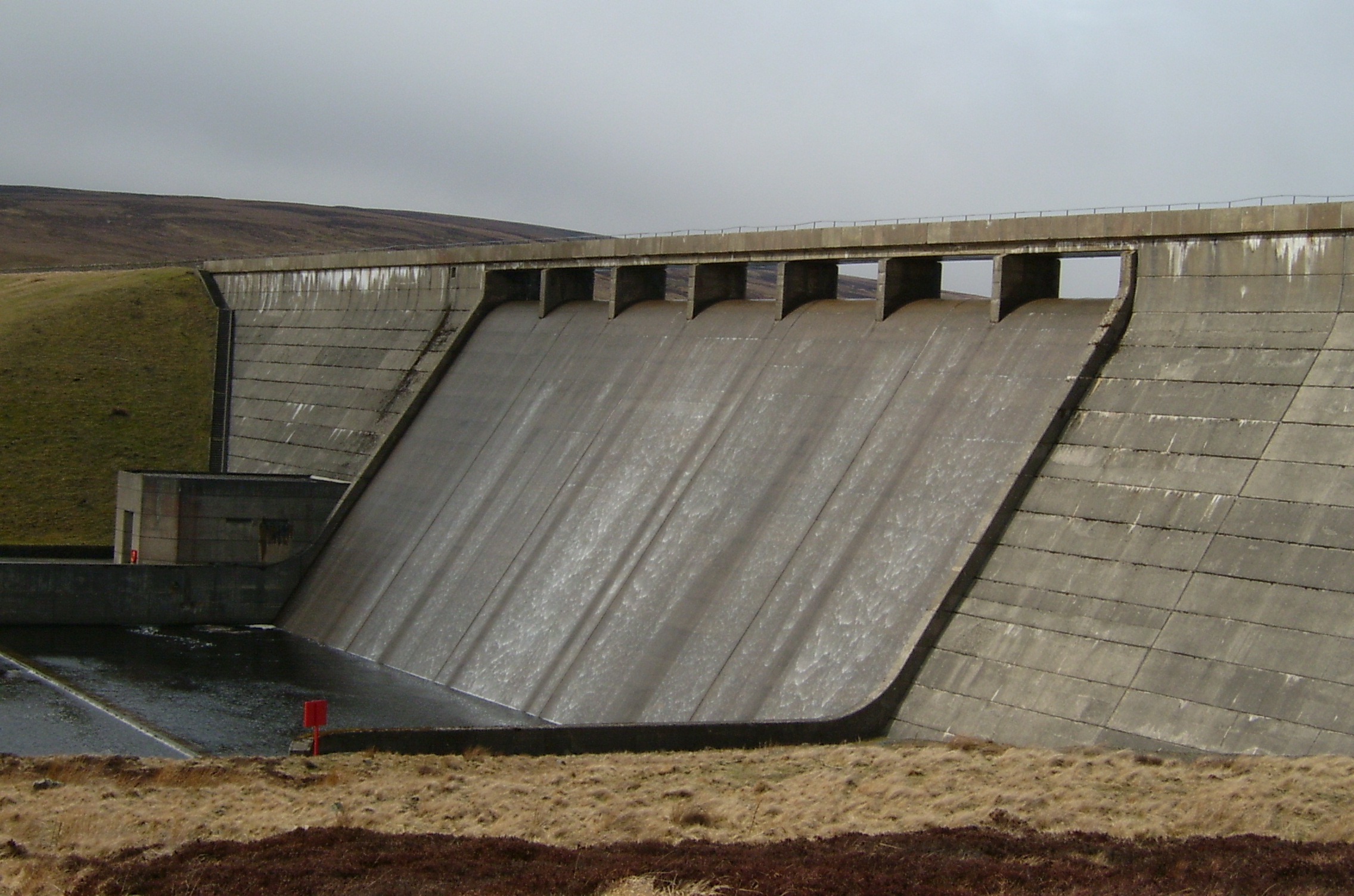
Cauldron Snout
Cauldron Snout is a cascade on the upper reaches of the River Tees in Northern England, immediately below the dam of the Cow Green Reservoir. It is well...

Upper Teesdale
Upper Teesdale is a Site of Special Scientific Interest (SSSI) in the west County Durham, England. It encompasses an extensive upland area that includes...

Harwood, County Durham
Harwood is a small valley and village near the head of Teesdale. Harwood Beck is a tributary of the River Tees in County Durham which forms a short valley...
Nearby Amenities
Located within 500m of 54.671824,-2.3283373Have you been to Teesdale?
Leave your review of Teesdale below (or comments, questions and feedback).