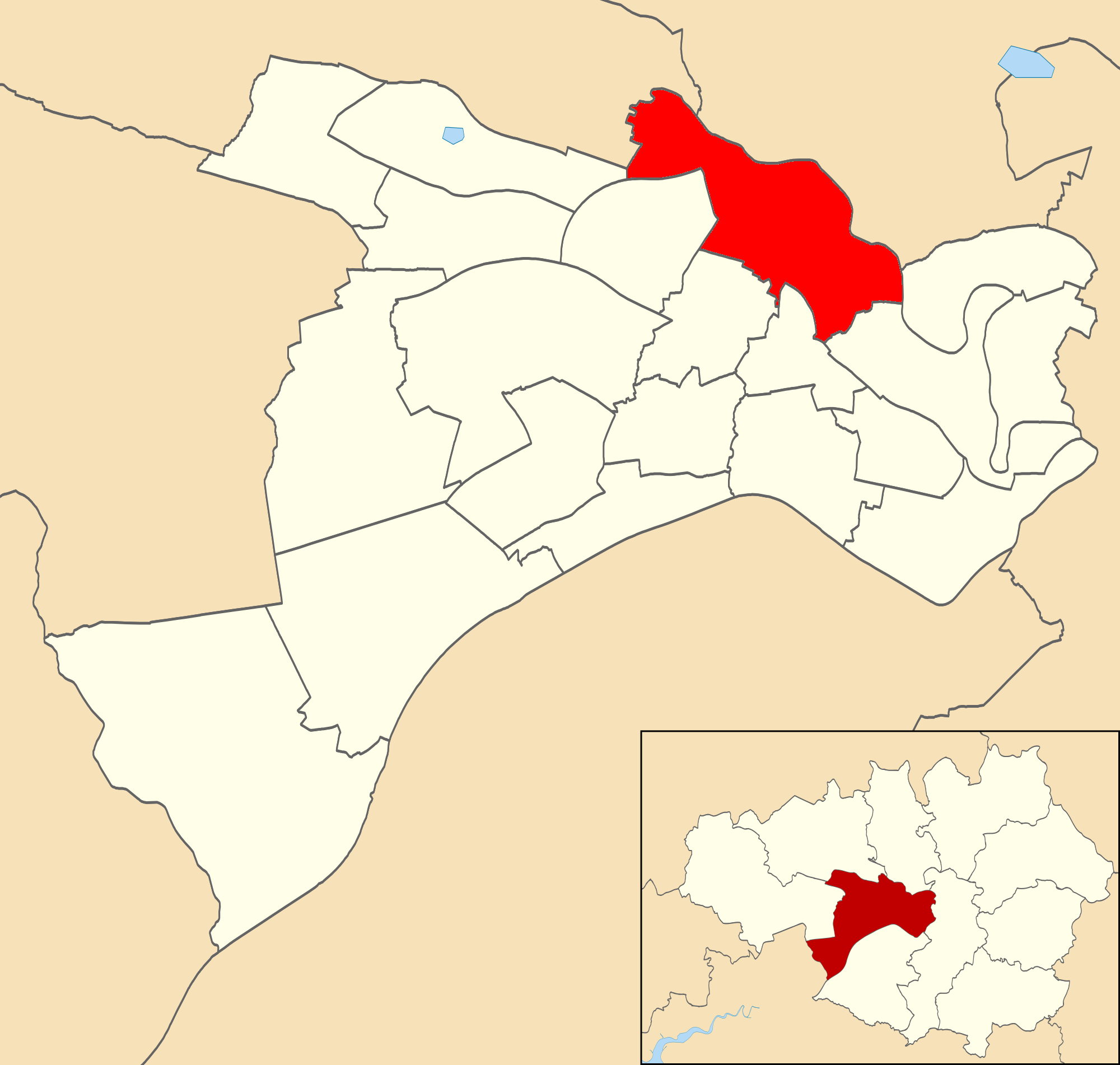
Swinton Vale
Valley in Lancashire
England
Swinton Vale

The requested URL returned error: 429 Too Many Requests
If you have any feedback on the listing, please let us know in the comments section below.
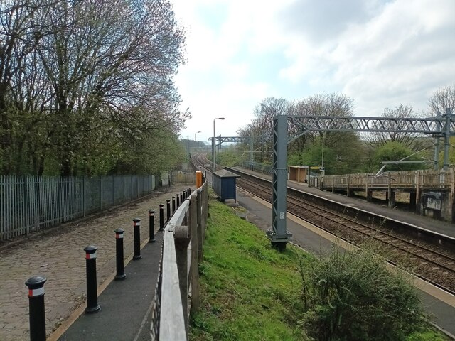
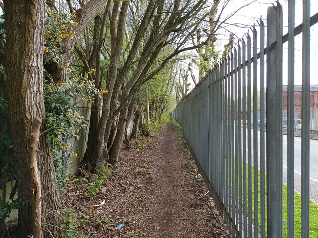
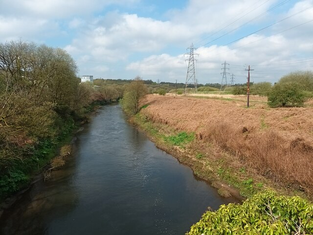
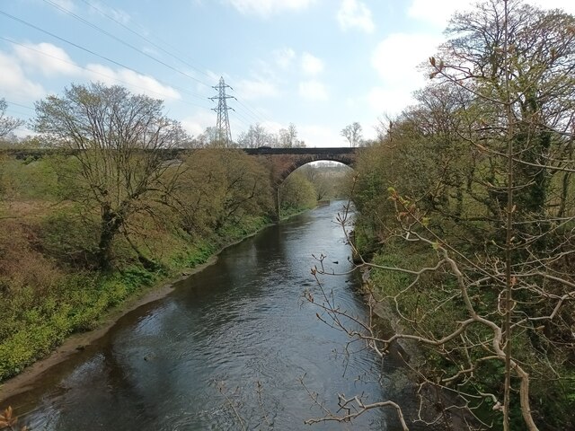
Swinton Vale Images
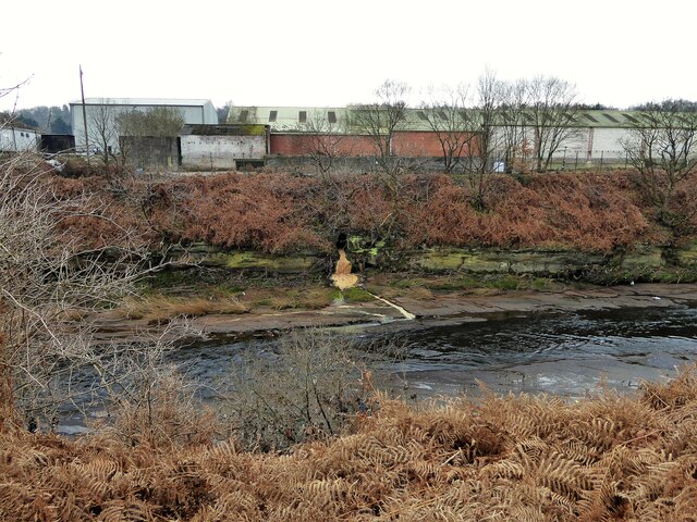
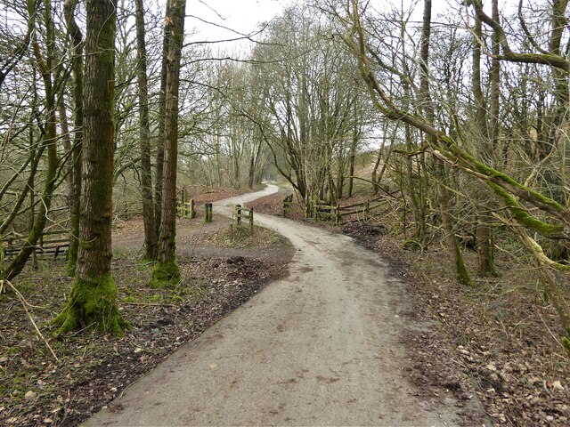
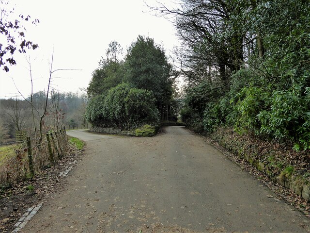
Images are sourced within 2km of 53.519582/-2.3189779 or Grid Reference SD7802. Thanks to Geograph Open Source API. All images are credited.
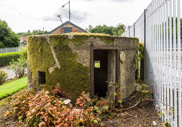
![WWII Lancashire: Magnesium Elektron Factory Pillbox, Pendlebury (1) -
Pillbox: EDoB ID: e01926
A large circular pillbox guarding the former Magnesium Elektron Ltd factory off Lumns Lane that produced magnesium metal. The company made an important contribution to the nation's war effort, producing thousands of tons of magnesium metal alloys for the aircraft industry. [Wikipedia]
The large expanse of wasteland behind the fencing was the site of the former wartime factory premises.
<a href="https://www.geograph.org.uk/photo/6945402">SD7902 : WWII Lancashire: Magnesium Elektron Factory Pillbox, Pendlebury (2)</a>](https://s2.geograph.org.uk/geophotos/06/94/53/6945398_9e7b2284.jpg)
Swinton Vale is located at Grid Ref: SD7802 (Lat: 53.519582, Lng: -2.3189779)
Unitary Authority: Salford
Police Authority: Greater Manchester
What 3 Words
///rides.wipes.mash. Near Prestwich, Manchester
Nearby Locations
Related Wikis
Pendlebury (ward)
Pendlebury is an electoral ward of Salford, England. It is represented in Westminster by Rebecca Long-Bailey MP for Salford and Eccles. A profile of the...
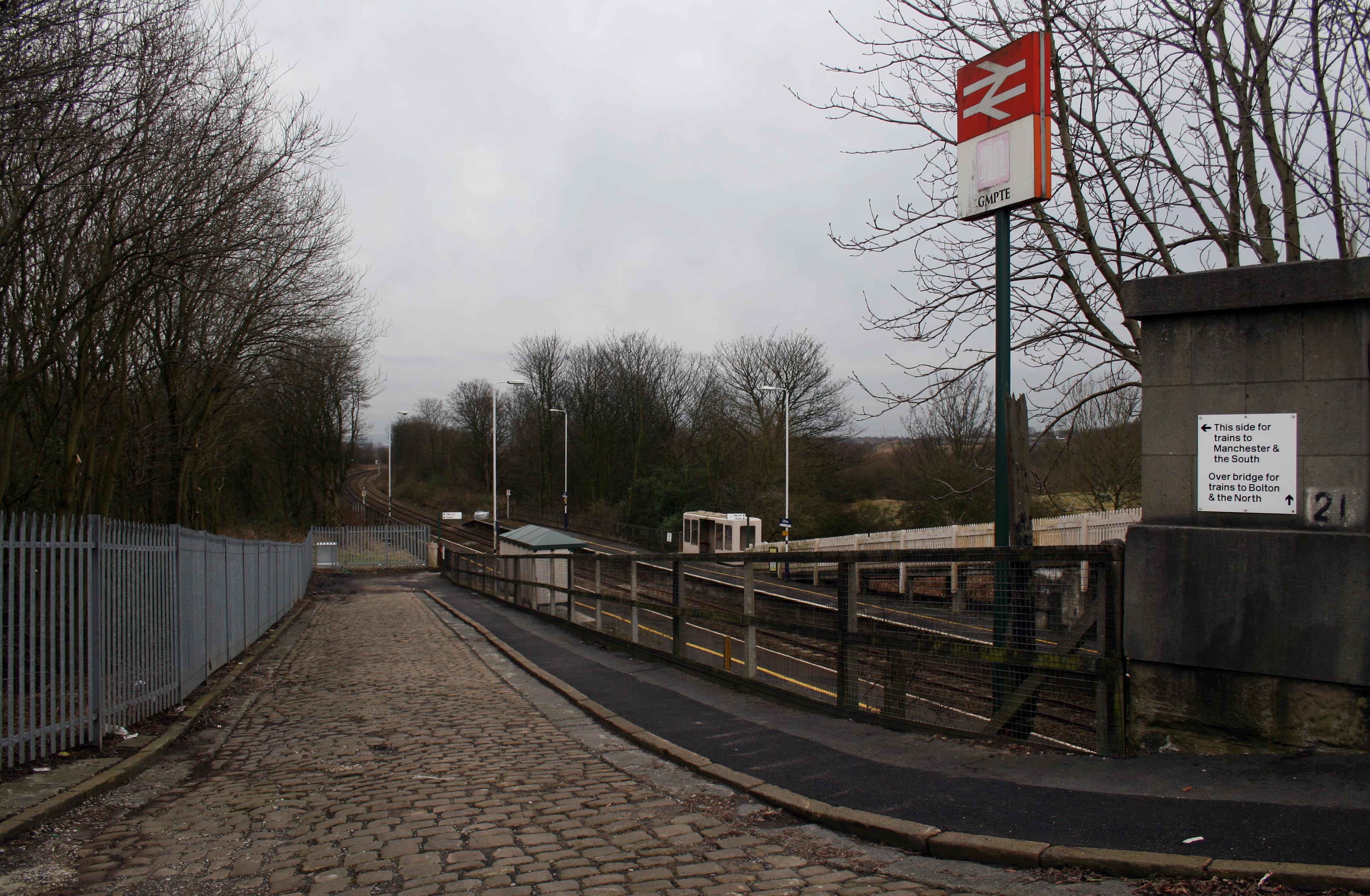
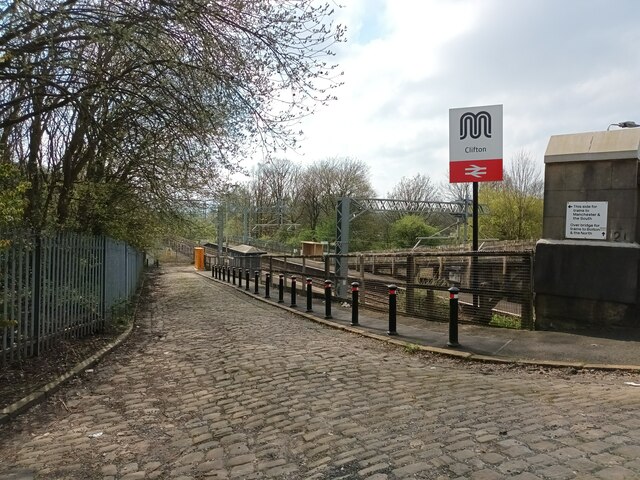
Clifton railway station (Greater Manchester)
Clifton railway station is a railway station in Clifton, Greater Manchester, England which was formerly called Clifton Junction. It lies on the Manchester...

Clifton, Greater Manchester
Clifton is a suburb of Swinton in the City of Salford in Greater Manchester, England. It lies along the edge of Irwell Valley in the north of the City...

Barton upon Irwell Rural District
Barton-upon-Irwell was, from 1894 to 1933, a rural district in the administrative county of Lancashire, England. == History == The rural district was created...
Nearby Amenities
Located within 500m of 53.519582,-2.3189779Have you been to Swinton Vale?
Leave your review of Swinton Vale below (or comments, questions and feedback).