Glen Fin
Valley in Berwickshire
Scotland
Glen Fin
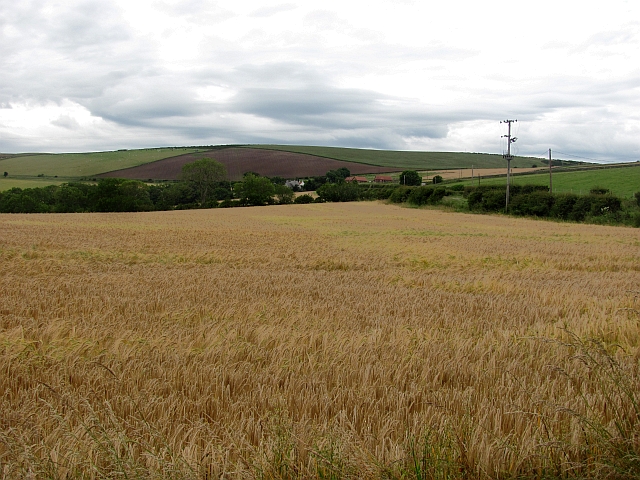
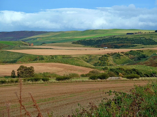
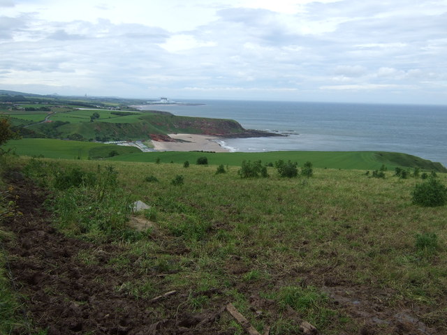
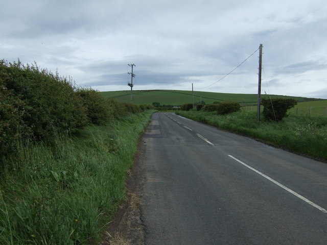
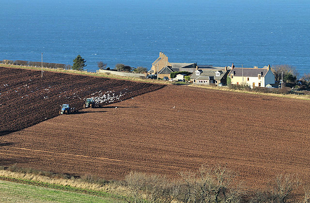
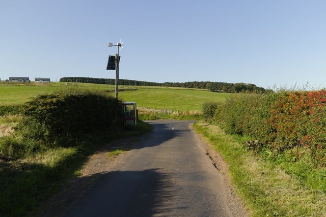
Glen Fin is a picturesque valley located in the region of Berwickshire, in the Scottish Borders of Scotland. The valley is nestled between the rolling hills of the Southern Uplands, offering breathtaking views and a tranquil atmosphere.
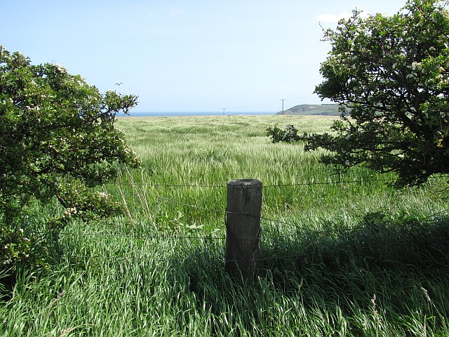
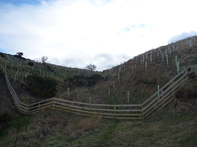
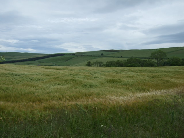
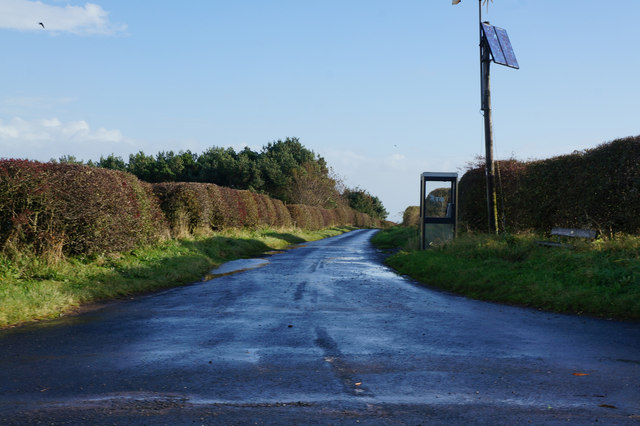
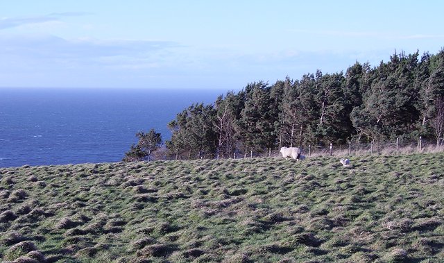
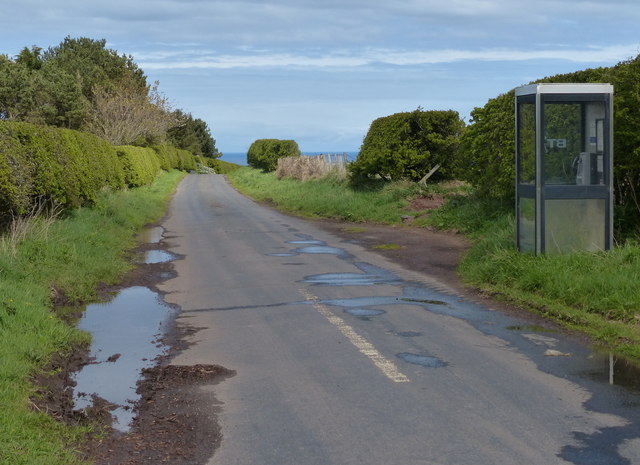
The valley is known for its natural beauty, with lush green landscapes, meandering streams, and dense woodlands. The hills surrounding Glen Fin are covered in heather and offer fantastic opportunities for hiking and exploring. The area is also home to a variety of wildlife, including deer, foxes, and a wide range of bird species.
One of the notable features of Glen Fin is the Fin Burn, a small river that runs through the valley. The clear waters of the burn provide a perfect habitat for salmon and trout, making it a popular spot for fishing enthusiasts.
Glen Fin has a rich history, with evidence of human settlement dating back to prehistoric times. Archaeological sites and ancient ruins can be found scattered throughout the valley, including standing stones and hill forts.
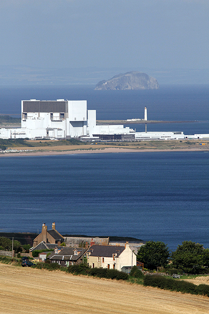
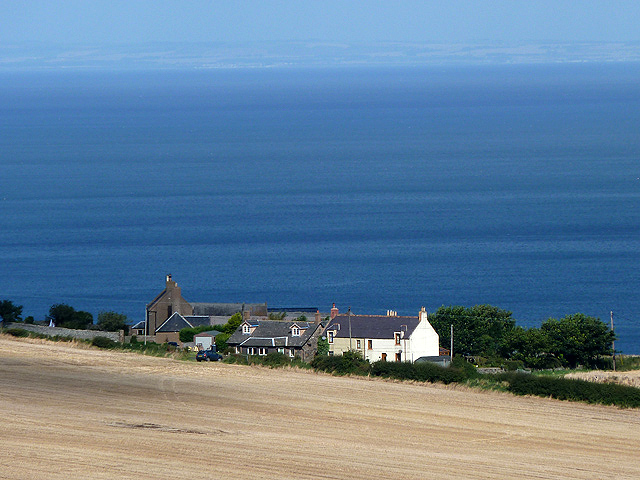
The valley is also home to a small community, with a few scattered farmhouses and cottages. The residents of Glen Fin are known for their friendly and welcoming nature, and visitors can often find local crafts and produce available for sale.
Overall, Glen Fin is a hidden gem in the Scottish Borders, offering stunning natural beauty, a rich history, and a warm community spirit. It is a perfect destination for nature lovers, hikers, and those seeking a peaceful retreat in the heart of the Scottish countryside.
If you have any feedback on the listing, please let us know in the comments section below.
Glen Fin Images
Images are sourced within 2km of 55.913423/-2.3387589 or Grid Reference NT7868. Thanks to Geograph Open Source API. All images are credited.

Glen Fin is located at Grid Ref: NT7868 (Lat: 55.913423, Lng: -2.3387589)
Unitary Authority: The Scottish Borders
Police Authority: The Lothians and Scottish Borders
What 3 Words
///sorters.shoelaces.summit. Near Dunbar, East Lothian
Nearby Locations
Related Wikis

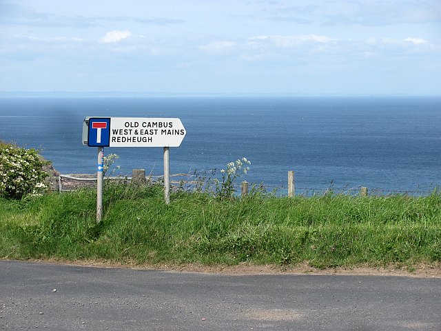
Old Cambus
Old Cambus is a village in the Scottish Borders, Scotland. St. Helens church, which is now a ruin served the area. == References ==

Pease Dean
Pease Dean is a nature reserve at Pease Bay, in the Scottish Borders area of Scotland, near the Anglo-Scottish border and Cockburnspath, Cove, and Dunglass...

Penmanshiel Tunnel
Penmanshiel Tunnel is a now-disused railway tunnel near Grantshouse, Berwickshire, in the Scottish Borders region of Scotland. It was formerly part of...
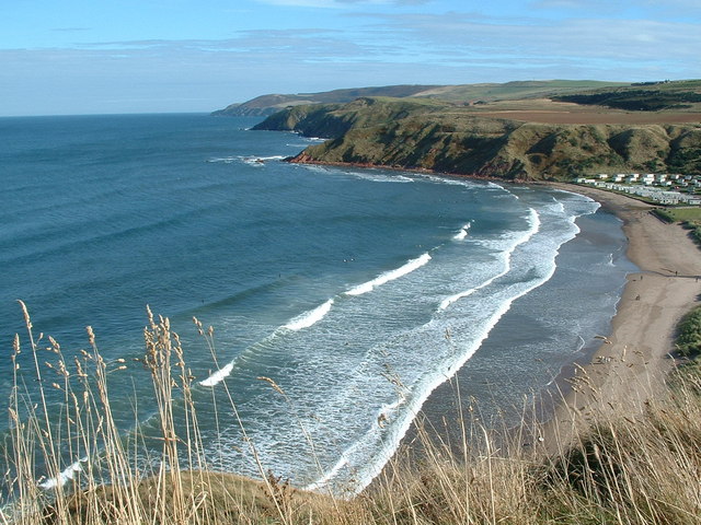
Pease Bay
Pease Bay is a bay, situated miles southeast of Dunbar, in the Scottish Borders area of Scotland, close to the border with East Lothian as well as Cockburnspath...

Battle of Piperdean
The Battle of Piperdean was an engagement in the Scottish Borders, fought on 10 September 1435 between the Kingdom of Scotland and the Kingdom of England...

Berwickshire Coastal Path
The Berwickshire Coastal Path is a walking route some 48 kilometres (30 mi) long. It follows the eastern coastline of Scotland from Cockburnspath in the...
Cockburnspath
Cockburnspath ( KOH-bərnz-pa(h)th; Scots: Co’path) is a village in the Scottish Borders area of Scotland. It lies near the North Sea coast between Berwick...

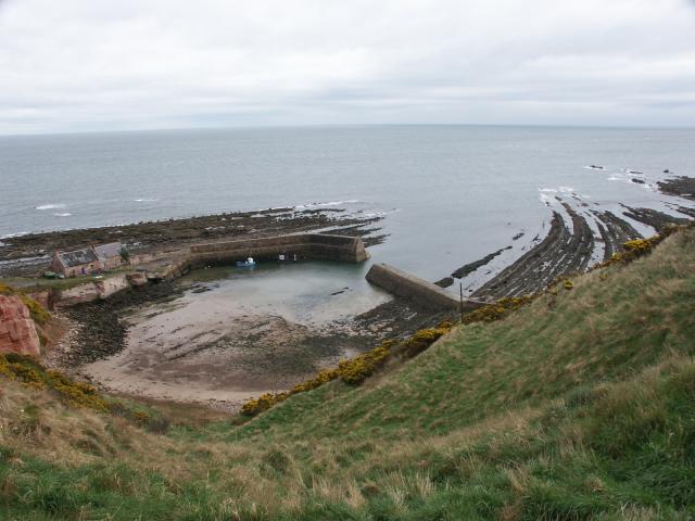
Cove, Scottish Borders
Cove is a village in the Scottish Borders area of Scotland,18 mi (29 km) northwest of the Scotland/England border. It is about 36 miles (58 kilometres...
Nearby Amenities
Located within 500m of 55.913423,-2.3387589Have you been to Glen Fin?
Leave your review of Glen Fin below (or comments, questions and feedback).