Threeshields Hope
Valley in Northumberland
England
Threeshields Hope
Threeshields Hope is a small village located in the county of Northumberland, England. Situated in the picturesque Valley region, this charming settlement offers a peaceful and idyllic setting for residents and visitors alike.
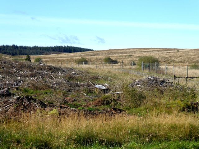
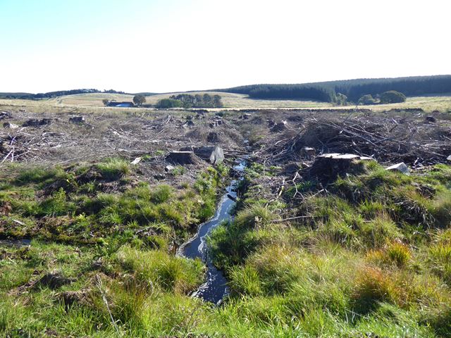
Surrounded by rolling hills and lush green landscapes, Threeshields Hope is known for its breath-taking natural beauty. The village is nestled within the Northumberland National Park, providing ample opportunities for outdoor activities such as hiking, cycling, and wildlife spotting.
Threeshields Hope is home to a close-knit community, with a population of around 200 residents. The village is characterized by its quaint stone cottages and traditional architecture, giving it a timeless and rustic charm.
The village boasts a few amenities to cater to the needs of its residents. There is a local pub, The Three Shields Inn, which serves as a gathering place for locals and a welcoming spot for visitors to enjoy a drink or a hearty meal. Additionally, a small convenience store provides essential supplies to the community.
For those seeking cultural experiences, Threeshields Hope is within close proximity to several historical landmarks and attractions. The nearby Wark Castle, dating back to the 12th century, offers a glimpse into the region's rich heritage. Additionally, the village is not far from Hadrian's Wall, a UNESCO World Heritage Site, which attracts history enthusiasts from all over the world.
Overall, Threeshields Hope is a hidden gem in Northumberland's Valley region, offering a tranquil escape from the bustling city life and providing a haven for nature lovers and history enthusiasts.
If you have any feedback on the listing, please let us know in the comments section below.
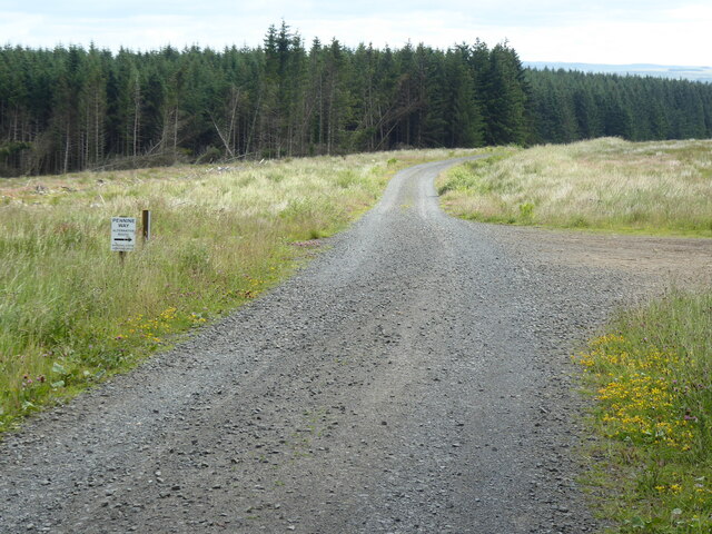
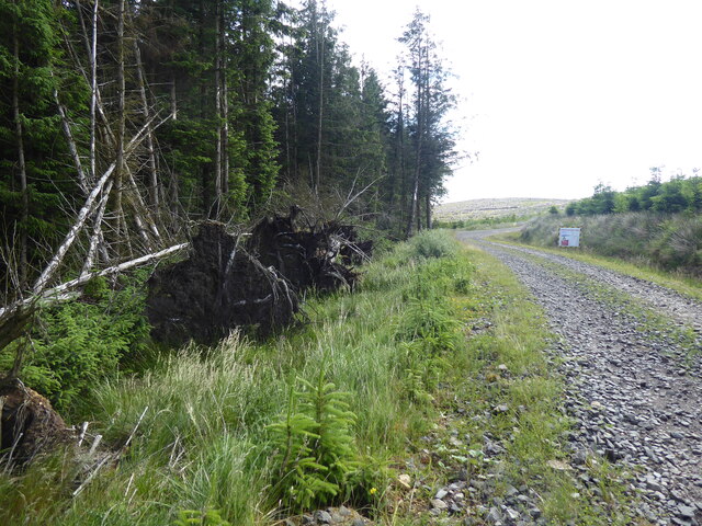
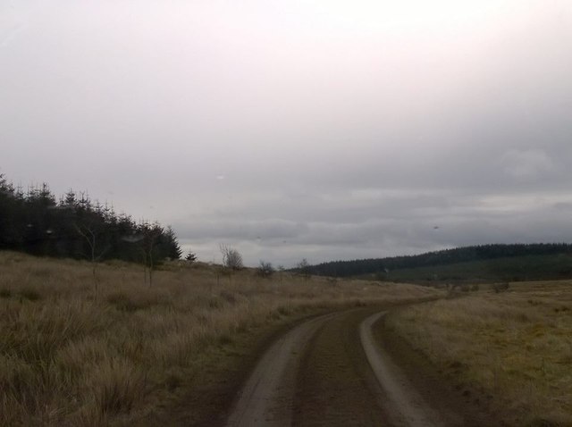
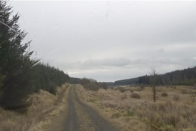
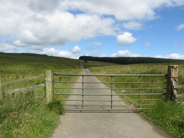
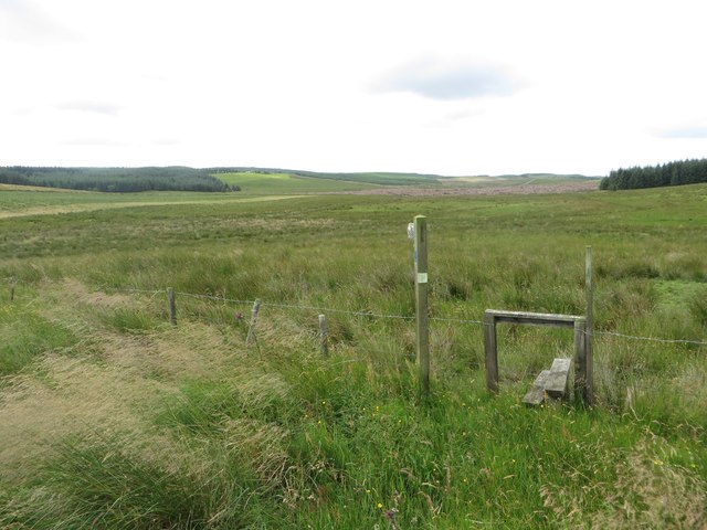
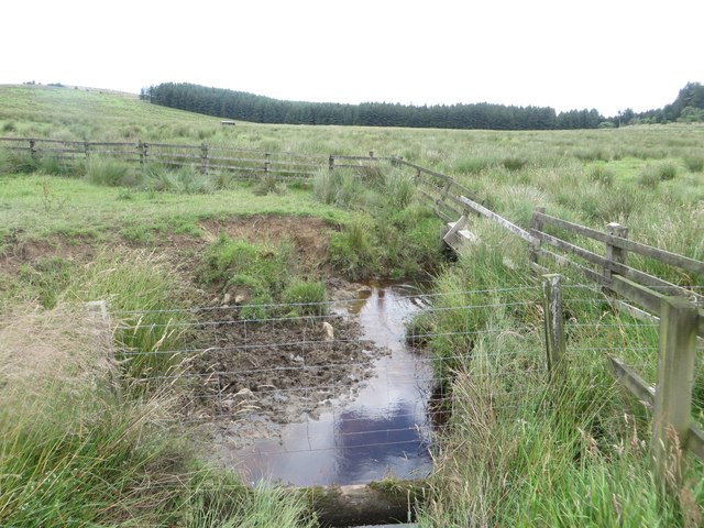
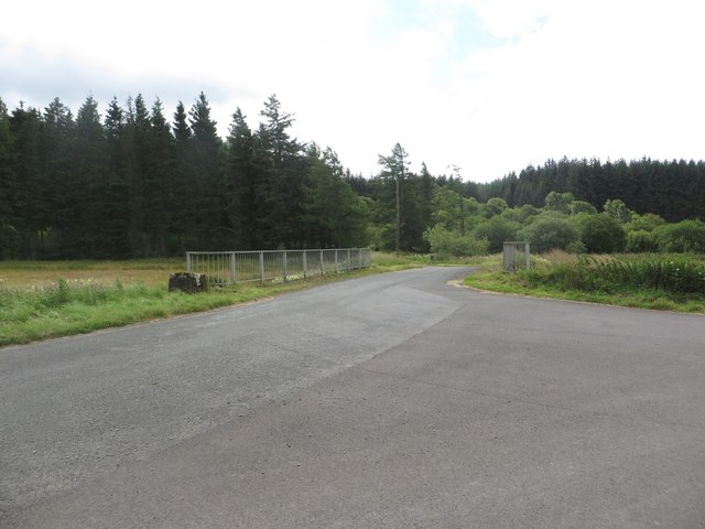
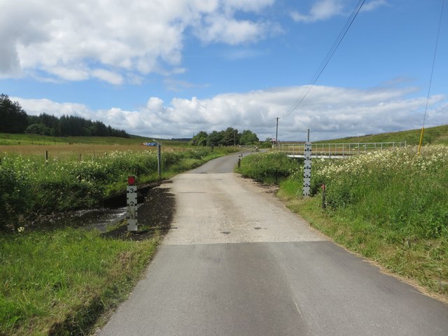
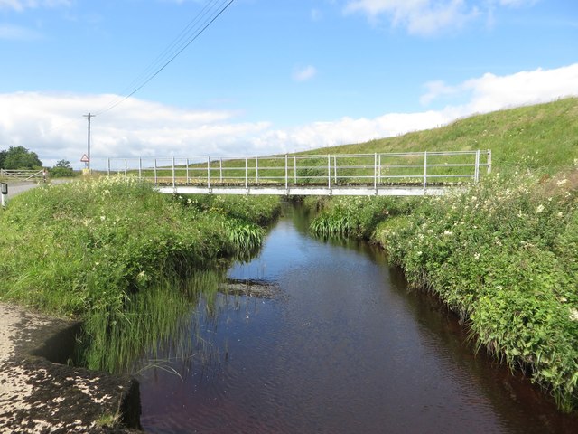
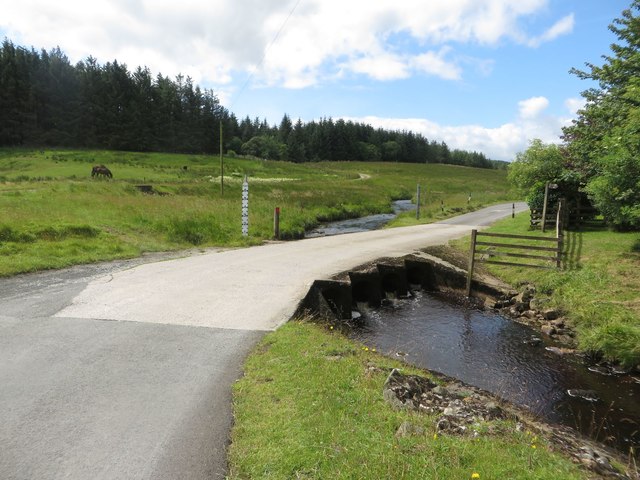
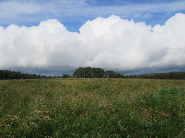
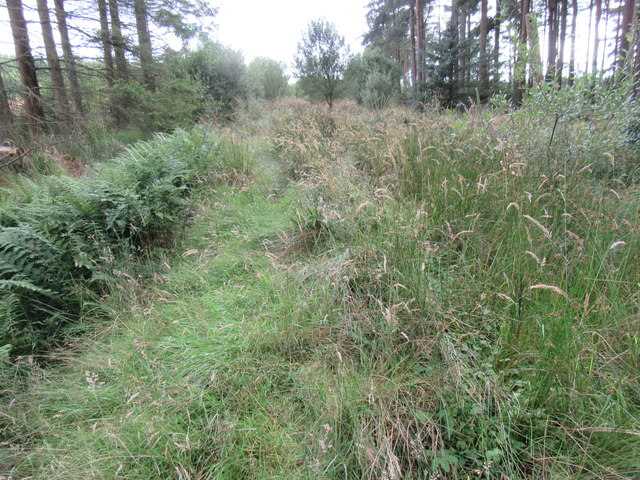
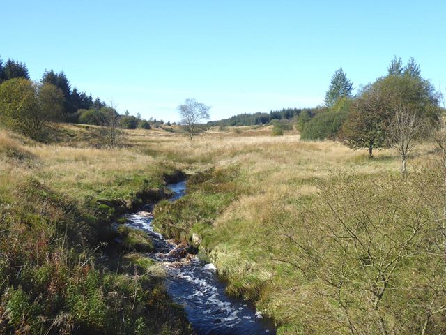
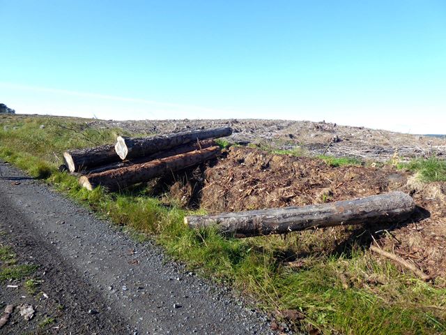
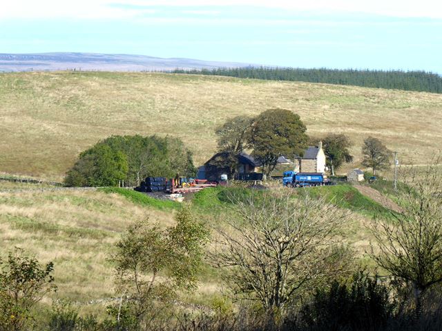
Threeshields Hope Images
Images are sourced within 2km of 55.067719/-2.3479834 or Grid Reference NY7774. Thanks to Geograph Open Source API. All images are credited.
Threeshields Hope is located at Grid Ref: NY7774 (Lat: 55.067719, Lng: -2.3479834)
Unitary Authority: Northumberland
Police Authority: Northumbria
What 3 Words
///surprise.outbound.cascaded. Near Bellingham, Northumberland
Nearby Locations
Related Wikis
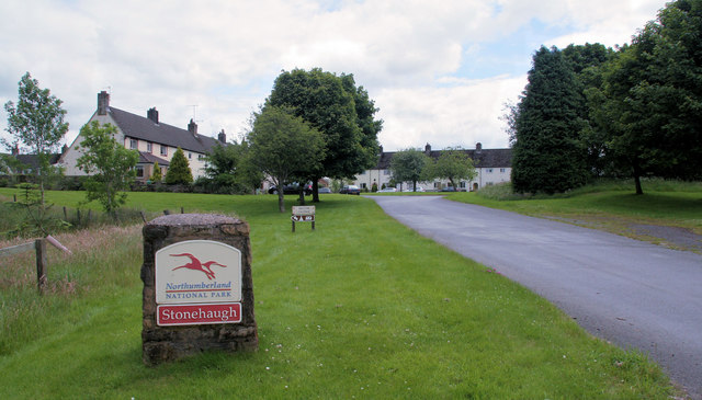
Stonehaugh
Stonehaugh is a small settlement in Northumberland about 5 miles (8 km) west of Wark on Tyne and 4 Roman miles (6 km) north of Hadrian's Wall. It was purpose...

Halleypike Lough
Halleypike Lough is an inland lake on Haughton Common at the southern edge of Northumberland National Park, northeast of Bardon Mill, and 1 mile (1.6 km...

The Goatstones
The Goatstones is a Bronze-Age four-poster stone circle located near Ravensheugh Crags in Northumberland, England. It is 2.5 miles (4.0 km) to the north...

Wark Forest
Wark Forest is the southern part of Kielder Forest in Northumberland, England. Wark Forest is found within the south-west tip of Northumberland National...
Related Videos

Blue Hemmel - Northumberland
"In a peaceful location on the edge of the forest and overlooking a valley, The Blue Hemmel is a high spec barn conversion that ...

TOP 10 Mods, Hacks & Tips for YOUR iKamper / Roof Top Tent
I've owned my iKamper Skycamp Mini 3.0 for close to 12 months now, having spent 18 nights across many different trips, I thought ...
Nearby Amenities
Located within 500m of 55.067719,-2.3479834Have you been to Threeshields Hope?
Leave your review of Threeshields Hope below (or comments, questions and feedback).