Kinmonth Den
Valley in Kincardineshire
Scotland
Kinmonth Den

Kinmonth Den is a picturesque valley located in Kincardineshire, Scotland. Nestled amidst rolling hills and lush greenery, the Den is renowned for its natural beauty and tranquil atmosphere. It is a haven for nature lovers, offering a variety of flora and fauna to explore and admire.
The Den is characterized by its dense woodland, which consists of a diverse range of trees, including oak, beech, and birch. These trees provide a stunning canopy that filters the sunlight, creating a dappled effect on the forest floor. The undergrowth is adorned with wildflowers, adding vibrant pops of color to the landscape.
A meandering river, known as the Kinmonth Burn, runs through the valley, adding to its charm. The crystal-clear waters of the river are home to various species of fish, making it a popular spot for anglers. The river also attracts a plethora of birdlife, making it a paradise for birdwatchers.
The Den is a haven for wildlife, with several species calling it home. Red squirrels can be spotted darting between the trees, while roe deer graze peacefully in the meadows. The valley is also known for its population of badgers, foxes, and various bird species, including owls and woodpeckers.
For outdoor enthusiasts, Kinmonth Den offers a network of walking trails, allowing visitors to explore the valley at their own pace. These trails take hikers through enchanting forests, across charming wooden bridges, and along the riverbanks. The Den also has picnic areas and viewpoints, providing opportunities for visitors to relax and appreciate the stunning surroundings.
Overall, Kinmonth Den in Kincardineshire is a truly enchanting place, offering a serene retreat in the heart of nature.
If you have any feedback on the listing, please let us know in the comments section below.
Kinmonth Den Images
Images are sourced within 2km of 56.920013/-2.3739151 or Grid Reference NO7781. Thanks to Geograph Open Source API. All images are credited.


Kinmonth Den is located at Grid Ref: NO7781 (Lat: 56.920013, Lng: -2.3739151)
Unitary Authority: Aberdeenshire
Police Authority: North East
What 3 Words
///womanly.quitter.grow. Near Inverbervie, Aberdeenshire
Nearby Locations
Related Wikis

Glenbervie
Glenbervie (Scottish Gaelic: Gleann Biorbhaidh) is located in the north east of Scotland in the Howe o' the Mearns, one mile from the village of Drumlithie...

Glenbervie House
Glenbervie House is a mansion house, which has incorporated parts of an earlier castle, located near Glenbervie, Kincardine and Mearns, Scotland. ��2...

Drumlithie
Drumlithie is a village in the Howe of the Mearns in southern Aberdeenshire, Scotland. Situated seven miles south of Stonehaven in the parish of Glenbervie...
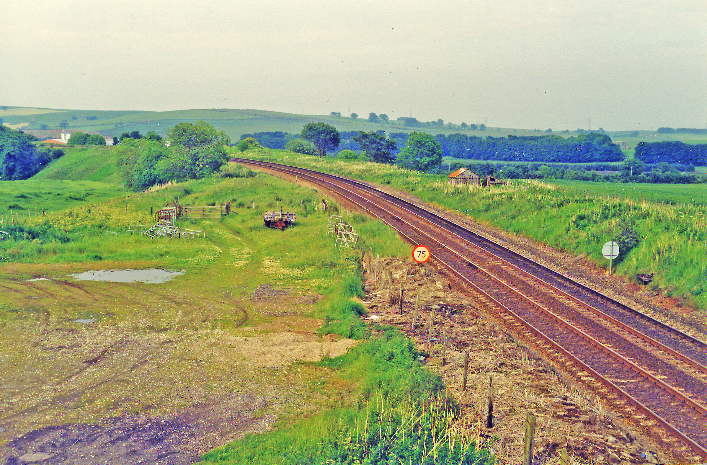
Drumlithie railway station
Drumlithie railway station served the village of Drumlithie, Aberdeenshire, Scotland from 1849 to 1956 on the Aberdeen Railway. == History == The station...
Nearby Amenities
Located within 500m of 56.920013,-2.3739151Have you been to Kinmonth Den?
Leave your review of Kinmonth Den below (or comments, questions and feedback).