Nettleshiel Cleugh

Valley in Berwickshire

Scotland

Nettleshiel Cleugh

Minor road near Ecclaw Hill
Minor road near Ecclaw Hill Credit: Steven Brown

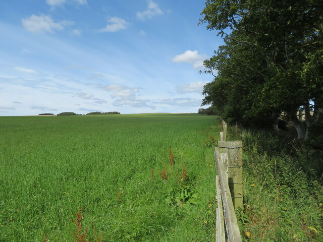
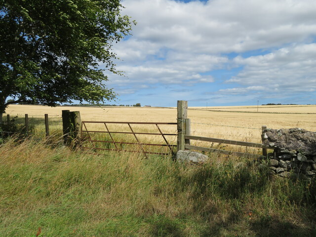
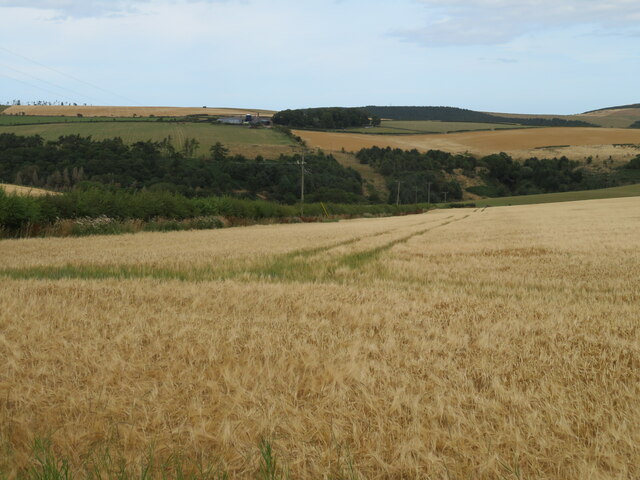
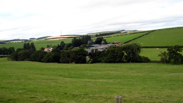
Nettleshiel Cleugh is a picturesque valley located in the southwestern part of Berwickshire, Scotland. Situated amidst rolling green hills and bordered by the scenic River Tweed, it offers a tranquil and idyllic setting for visitors and locals alike.

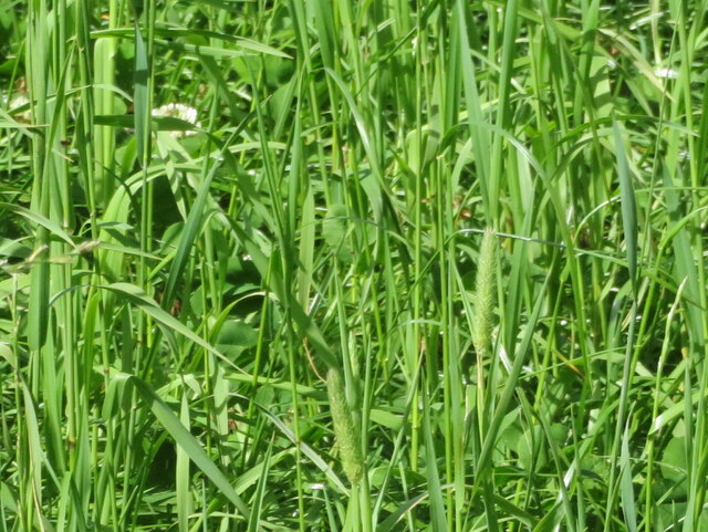
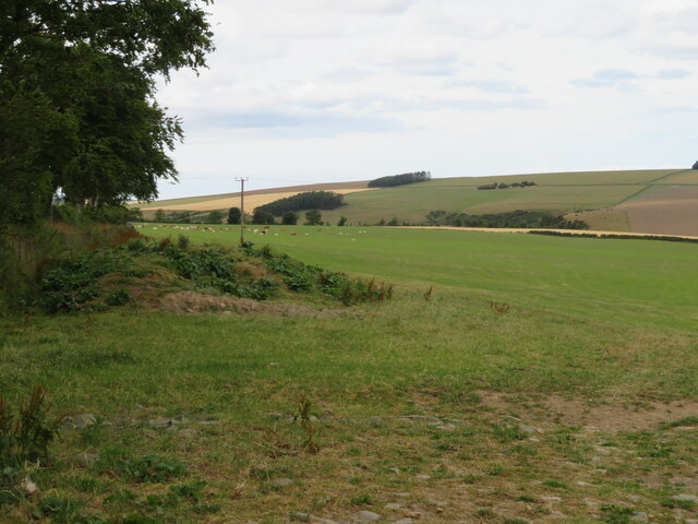
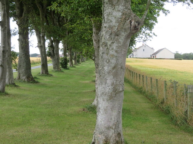
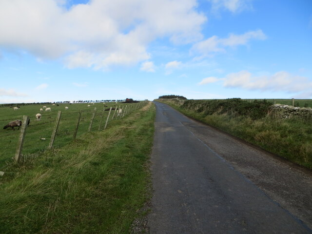
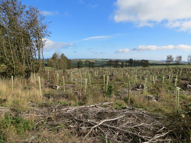
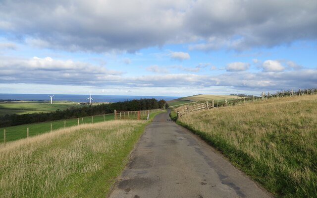
The valley is renowned for its natural beauty, with lush vegetation, sparkling streams, and an abundance of wildlife. It is a haven for nature enthusiasts, providing ample opportunities for hiking, birdwatching, and photography. The surrounding hills offer breathtaking panoramic views of the valley, making it a popular spot for landscape photography and picnicking.

Nettleshiel Cleugh is also steeped in history, with several ancient sites and ruins in the area. One notable landmark is the ruins of Nettleshiel Tower, a medieval tower house that once served as a stronghold for local landowners. Visitors can explore the remains of the tower and learn about its rich history.

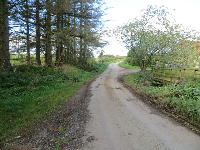
The valley is well-connected to nearby towns and villages, making it easily accessible for visitors. Nearby amenities include quaint bed and breakfasts, traditional Scottish pubs, and charming shops selling local crafts and produce.

Overall, Nettleshiel Cleugh offers a serene and picturesque escape from the bustling city life. With its natural beauty, rich history, and ample recreational opportunities, it is a destination that appeals to both nature lovers and history enthusiasts alike.

If you have any feedback on the listing, please let us know in the comments section below.

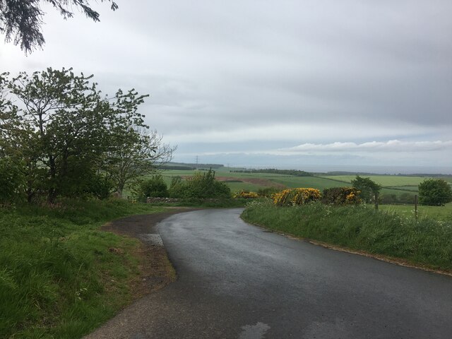
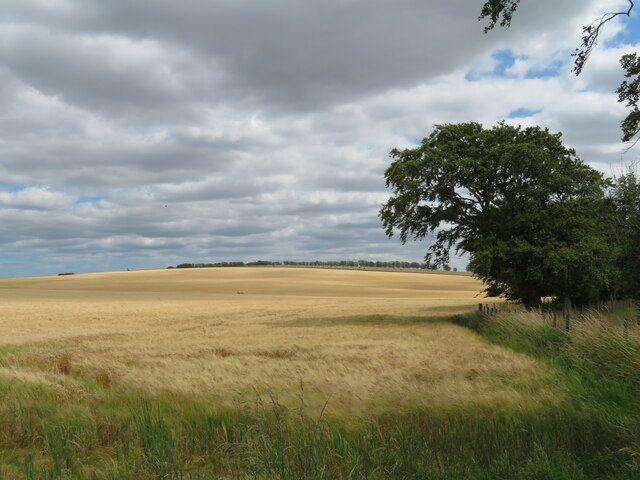
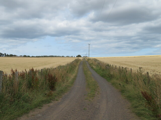
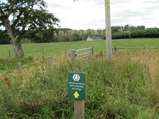
Nettleshiel Cleugh Images

Images are sourced within 2km of 55.901174/-2.3649442 or Grid Reference NT7767. Thanks to Geograph Open Source API. All images are credited.

Minor road near Ecclaw Hill
Gate on the Southern Upland Way The notice informs of a realignment of the path. Blackburn Mill farm is across the field. I thought the ATV heading across the field [left] was going to give me my marching orders [I was off-tarmac with my car], but the farmer was checking on her cows and was coming across to check that I was alright, which was nice. We had an interesting talk about modern youth, the flat earth and an approaching planet blocking the real sky.
Gate on the Southern Upland Way
The notice informs of a realignment of the path. Blackburn Mill farm is across the field. I thought the ATV heading across the field [left] was going to give me my marching orders [I was off-tarmac with my car], but the farmer was checking on her cows and was coming across to check that I was alright, which was nice. We had an interesting talk about modern youth, the flat earth and an approaching planet blocking the real sky.
Barley at Blackburn Mill Looking southeast.
Barley at Blackburn Mill
Looking southeast.
The Southern Upland Way Heading northeast from Blackburn Mill to Blackburn, between Barley fields.
The Southern Upland Way
Heading northeast from Blackburn Mill to Blackburn, between Barley fields.
Southern Upland Way rerouting notice At Blackburn Mill farm, around the edge of the pasture field.
Southern Upland Way rerouting notice
At Blackburn Mill farm, around the edge of the pasture field.
Grass field at Blackburn Mill It looks like a newly sown crop, mainly Timothy grass <a href="https://www.geograph.org.uk/photo/7250983">NT7766 : Timothy grass and White Clover</a> with White Clover.
Grass field at Blackburn Mill
It looks like a newly sown crop, mainly Timothy grass NT7766 : Timothy grass and White Clover with White Clover.
Timothy grass and White Clover Detail of the new crop growth at Blackburn Mill <a href="https://www.geograph.org.uk/photo/7250976">NT7766 : Grass field at Blackburn Mill</a>.
Timothy grass and White Clover
Detail of the new crop growth at Blackburn Mill NT7766 : Grass field at Blackburn Mill.
Barley at Blackburn The Southern Upland Way passes along a track between the fields, gently uphill from mid-right.
Barley at Blackburn
The Southern Upland Way passes along a track between the fields, gently uphill from mid-right.
Barley at Blackburn Looking northeast into Haddies Cleugh.
Barley at Blackburn
Looking northeast into Haddies Cleugh.
Cattle pasture at Blackburn With Edmond's Dean beyond.
Cattle pasture at Blackburn
With Edmond's Dean beyond.
Blackburn Bungalow Not what I would call a bungalow - perhaps it's been extended? The avenue of trees is 160m long, and the Southern Upland Way runs alongside it.
Blackburn Bungalow
Not what I would call a bungalow - perhaps it's been extended? The avenue of trees is 160m long, and the Southern Upland Way runs alongside it.
Benchmark on cottage, Winterfield Wood Ordnance Survey benchmark. For database entry, see <span class="nowrap"><a title="https://www.bench-marks.org.uk/bm189693" rel="nofollow ugc noopener" href="https://www.bench-marks.org.uk/bm189693">Link</a><img style="margin-left:2px;" alt="External link" title="External link - shift click to open in new window" src="https://s1.geograph.org.uk/img/external.png" width="10" height="10"/></span>.
Benchmark on cottage, Winterfield Wood
Ordnance Survey benchmark. For database entry, see LinkExternal link.
Wall and hedge enclosed minor road ascending Ecclaw Hill Looking northward.
Wall and hedge enclosed minor road ascending Ecclaw Hill
Looking northward.
The re-birth of Mount Skip Wood Looking eastward.
The re-birth of Mount Skip Wood
Looking eastward.
Minor road at Fulfordlees Looking north-westward. My presumption is that the footbridge is for if and when Heriot Water floods.
Minor road at Fulfordlees
Looking north-westward. My presumption is that the footbridge is for if and when Heriot Water floods.
Minor road with cattle grid on the flank of Ecclaw Hill Looking north-eastward.
Minor road with cattle grid on the flank of Ecclaw Hill
Looking north-eastward.
View over the pastures to Fulfordlees Farm Off the Cockburnspath to Abbey St. Bathans road.
View over the pastures to Fulfordlees Farm
Off the Cockburnspath to Abbey St. Bathans road.
Road near Blackburn Mill Bridge The houses and new farm buildings are just visible over the drifts.
Road near Blackburn Mill Bridge
The houses and new farm buildings are just visible over the drifts.
Show me another place!

Nettleshiel Cleugh is located at Grid Ref: NT7767 (Lat: 55.901174, Lng: -2.3649442)

Unitary Authority: The Scottish Borders

Police Authority: The Lothians and Scottish Borders

What 3 Words

///hurls.dated.plantings. Near Duns, Scottish Borders

Nearby Locations

Nettleshiel Cleugh

Related Wikis

Penmanshiel Tunnel

Penmanshiel Tunnel is a now-disused railway tunnel near Grantshouse, Berwickshire, in the Scottish Borders region of Scotland. It was formerly part of...

Old Cambus

Old Cambus is a village in the Scottish Borders, Scotland. St. Helens church, which is now a ruin served the area. == References ==

Pease Dean

Pease Dean is a nature reserve at Pease Bay, in the Scottish Borders area of Scotland, near the Anglo-Scottish border and Cockburnspath, Cove, and Dunglass...

Berwickshire Coastal Path

The Berwickshire Coastal Path is a walking route some 48 kilometres (30 mi) long. It follows the eastern coastline of Scotland from Cockburnspath in the...

Have you been to Nettleshiel Cleugh?

Leave your review of Nettleshiel Cleugh below (or comments, questions and feedback).