Ralph's Cleugh

Valley in Northumberland

England

Ralph's Cleugh

Closed Picnic Area at Blackblakehope We started our walk from Blakehopeburnhaugh Picnic Area where there was actually two picnic tables.  We planned to stop at Blackblakehope Picnic Area close to the (Forest Drive) for lunch --- picnic tables to sit at avoiding the wet ground.  When we arrived there were no picnic tables and cars are prevented from entering the area due a mound of earth “dumped” close to what was the entrance.  
Last week we found we couldn’t drive to the Lewis Burn Picnic Area and when we walked past the barriers across the entrances were locked.  The reason for the closure was that the footbridge had been removed --- we’ve parked there several times over the years and not used the bridge because we were walking in a different direction.  This is a lovely spot where we’ve spent the day when my son was about six years old.  We even remember toilets being there.
I feel there’s another reason for both closures and that the “Kielder Water Authority” doesn’t want visitors exploring the areas away from Kielder Water.  This raises the question do the “Kielder Water Authority” just wants visitors drive along the Forest Drive without stopping and spending some time taking in the “breathtaking views”.  I strongly feel that the closure of both picnic areas is detrimental to the enjoyment of both areas.  I believe that the areas away from the “water” are far more interesting as well as thinking the construction of Kielder Water is one of the greatest acts of vandalism perpetrated in the North East.
Closed Picnic Area at Blackblakehope Credit: Les Hull

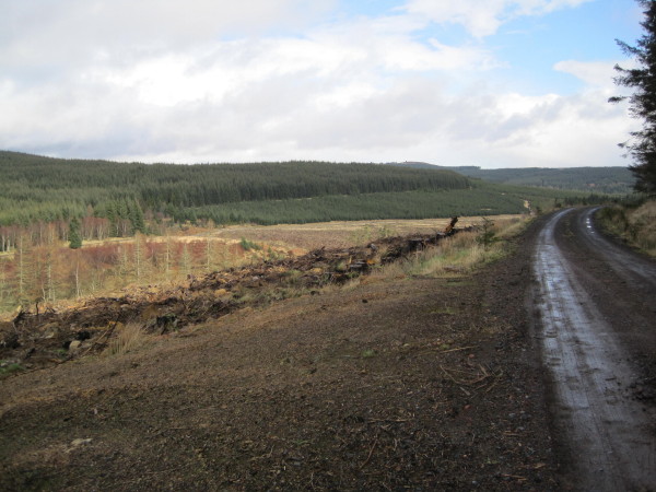
Ralph's Cleugh is a picturesque valley located in the county of Northumberland, England. Situated near the village of Rothbury, it is nestled within the stunning landscapes of the Northumberland National Park. The valley is named after Ralph, a medieval knight who once owned the land.

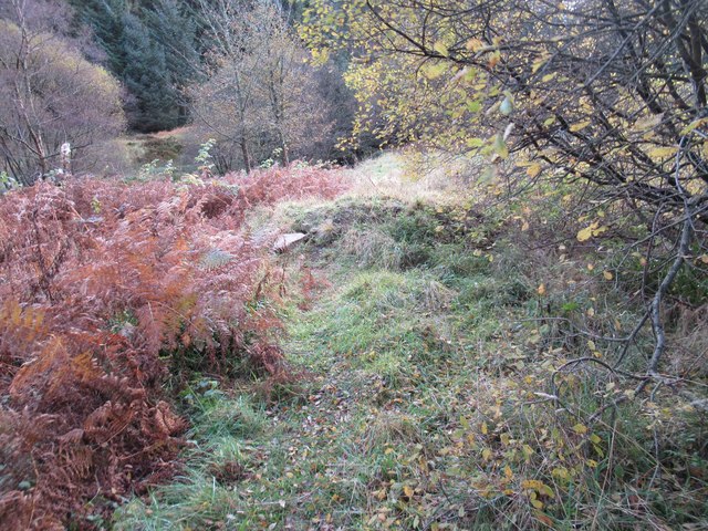
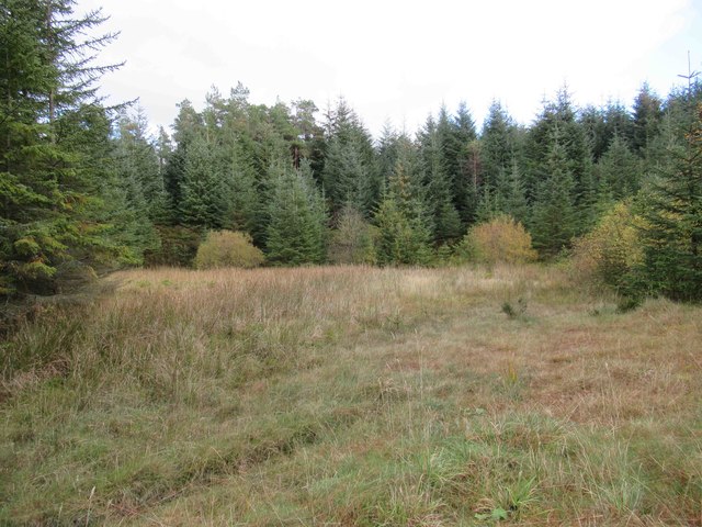
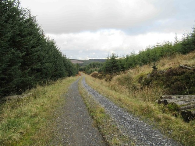
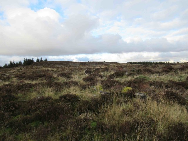
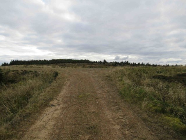
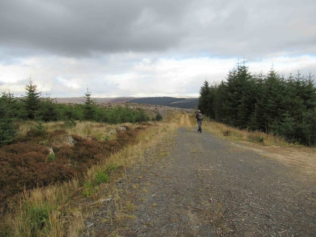
The Cleugh offers a serene and tranquil environment, characterized by its rolling hills, lush green fields, and meandering streams. The valley is dotted with ancient woodlands, which are home to a diverse range of flora and fauna, including rare species such as red squirrels and wildflowers like bluebells and orchids. The area is a haven for nature enthusiasts and a popular destination for hikers, birdwatchers, and photographers.

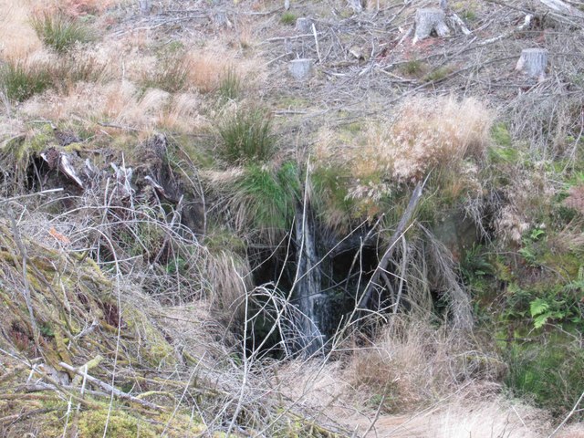
One of the highlights of Ralph's Cleugh is the picturesque waterfall known as Ralph's Cleugh Linn. The cascading waters create a mesmerizing sight and provide a peaceful spot for visitors to relax and enjoy the natural beauty of the surroundings.

The valley also boasts a rich history, with traces of ancient settlements and historic landmarks. Ruins of old farmsteads and medieval buildings can be found scattered throughout the landscape, adding to the area's charm and allure. Visitors can explore the remnants of these structures and imagine the lives of those who once inhabited this idyllic valley.

Overall, Ralph's Cleugh is a hidden gem in Northumberland, offering a serene retreat for those seeking a connection with nature and a glimpse into the region's history. Its breathtaking landscapes, diverse wildlife, and rich heritage make it a must-visit destination for anyone exploring the region.

If you have any feedback on the listing, please let us know in the comments section below.

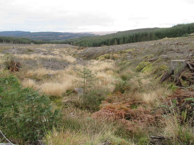
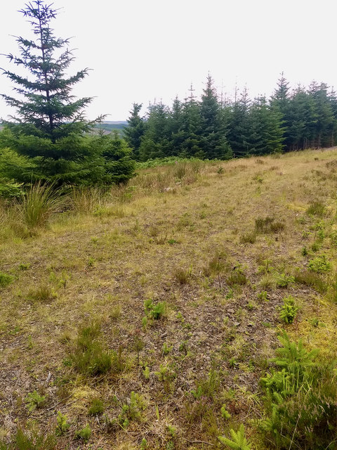
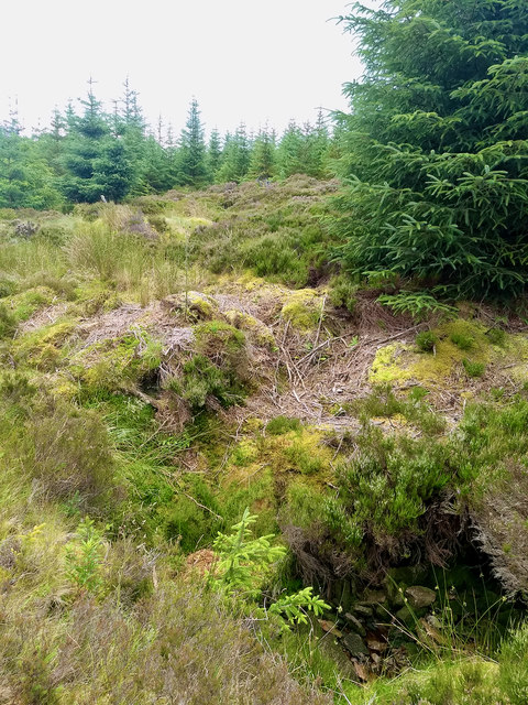
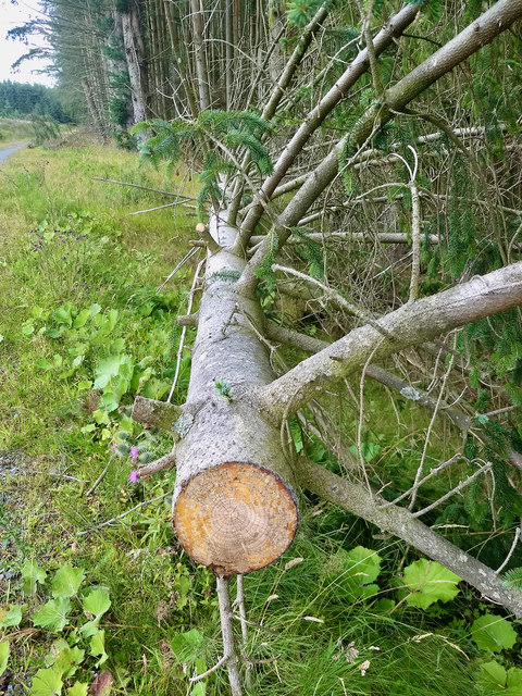
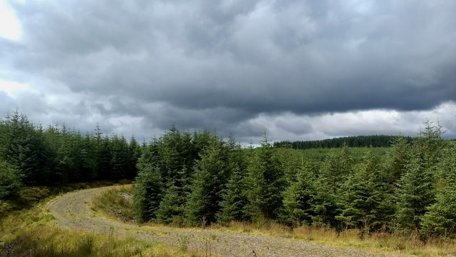
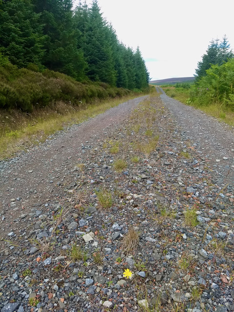
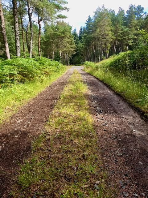
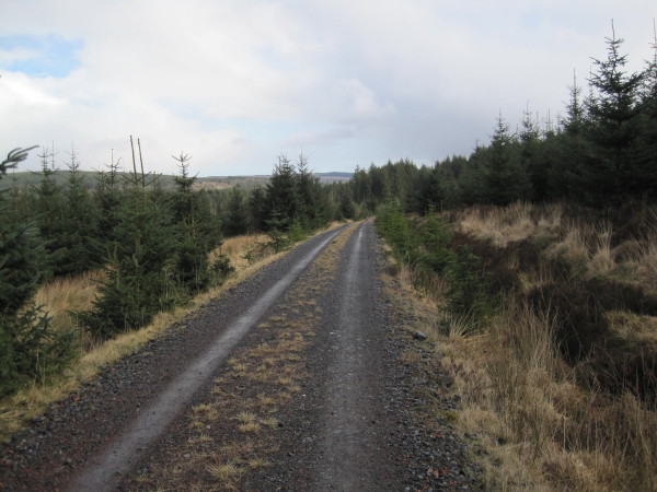
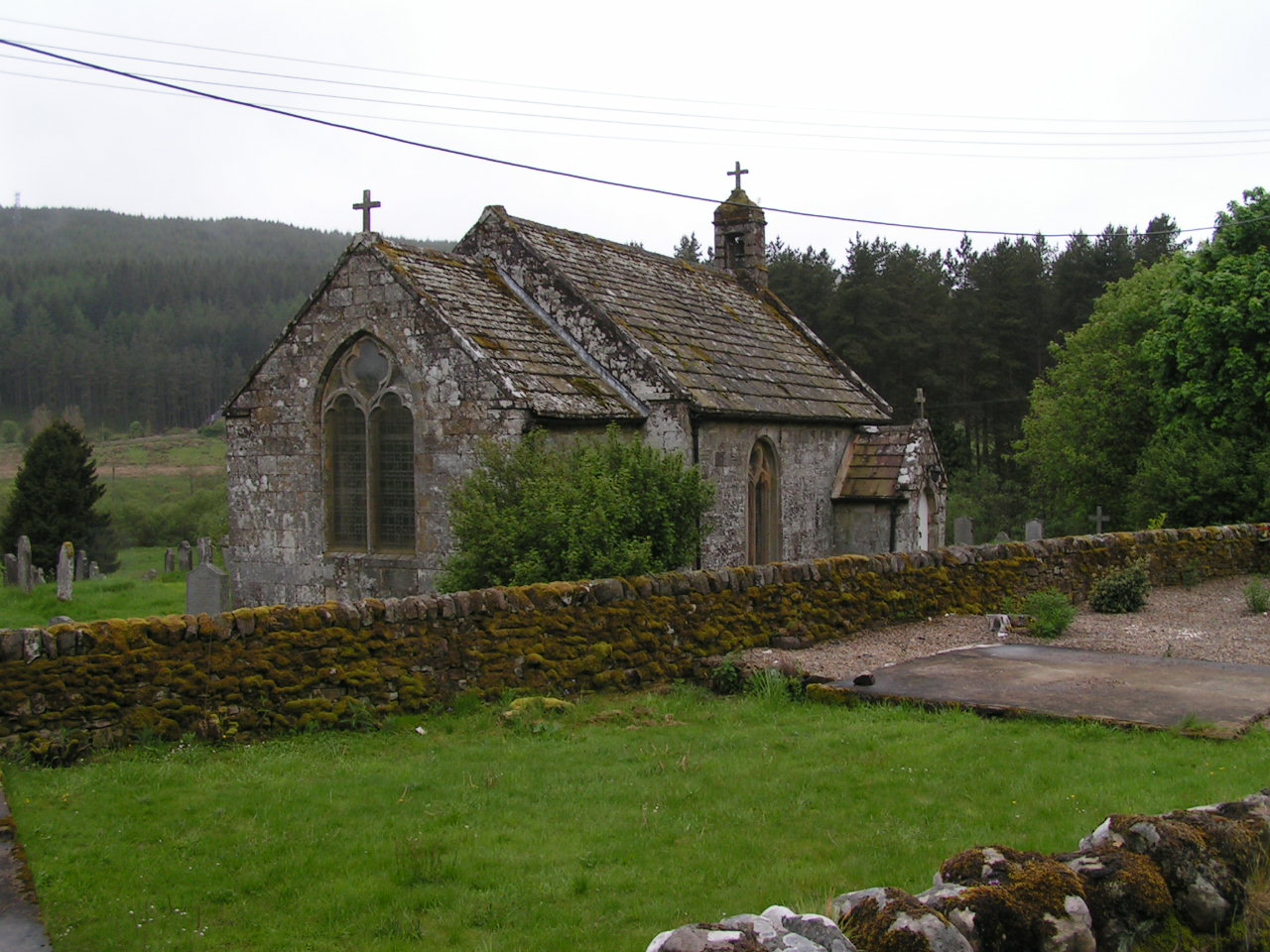
Ralph's Cleugh Images

Images are sourced within 2km of 55.286538/-2.3889906 or Grid Reference NY7599. Thanks to Geograph Open Source API. All images are credited.

Closed Picnic Area at Blackblakehope We started our walk from Blakehopeburnhaugh Picnic Area where there was actually two picnic tables.  We planned to stop at Blackblakehope Picnic Area close to the (Forest Drive) for lunch --- picnic tables to sit at avoiding the wet ground.  When we arrived there were no picnic tables and cars are prevented from entering the area due a mound of earth “dumped” close to what was the entrance.  
Last week we found we couldn’t drive to the Lewis Burn Picnic Area and when we walked past the barriers across the entrances were locked.  The reason for the closure was that the footbridge had been removed --- we’ve parked there several times over the years and not used the bridge because we were walking in a different direction.  This is a lovely spot where we’ve spent the day when my son was about six years old.  We even remember toilets being there.
I feel there’s another reason for both closures and that the “Kielder Water Authority” doesn’t want visitors exploring the areas away from Kielder Water.  This raises the question do the “Kielder Water Authority” just wants visitors drive along the Forest Drive without stopping and spending some time taking in the “breathtaking views”.  I strongly feel that the closure of both picnic areas is detrimental to the enjoyment of both areas.  I believe that the areas away from the “water” are far more interesting as well as thinking the construction of Kielder Water is one of the greatest acts of vandalism perpetrated in the North East.
Closed Picnic Area at Blackblakehope
We started our walk from Blakehopeburnhaugh Picnic Area where there was actually two picnic tables. We planned to stop at Blackblakehope Picnic Area close to the (Forest Drive) for lunch --- picnic tables to sit at avoiding the wet ground. When we arrived there were no picnic tables and cars are prevented from entering the area due a mound of earth “dumped” close to what was the entrance. Last week we found we couldn’t drive to the Lewis Burn Picnic Area and when we walked past the barriers across the entrances were locked. The reason for the closure was that the footbridge had been removed --- we’ve parked there several times over the years and not used the bridge because we were walking in a different direction. This is a lovely spot where we’ve spent the day when my son was about six years old. We even remember toilets being there. I feel there’s another reason for both closures and that the “Kielder Water Authority” doesn’t want visitors exploring the areas away from Kielder Water. This raises the question do the “Kielder Water Authority” just wants visitors drive along the Forest Drive without stopping and spending some time taking in the “breathtaking views”. I strongly feel that the closure of both picnic areas is detrimental to the enjoyment of both areas. I believe that the areas away from the “water” are far more interesting as well as thinking the construction of Kielder Water is one of the greatest acts of vandalism perpetrated in the North East.
Disused Quarry
Disused Quarry
Forest Track towards Ox Law
Forest Track towards Blackblakehope
View towards Stile Crag
Forest Track T-junction
Forest Track between Tod Knowe  and Tod Crag
Forest Track between Tod Knowe and Tod Crag
Waterfall in Hindhope Burn Not the greatest waterfall I've ever seen BUT we had to look it up!!
Waterfall in Hindhope Burn
Not the greatest waterfall I've ever seen BUT we had to look it up!!
Disused Quarry
Disused Quarry
Hindhope Burn Somewhere amongst the debris.
Hindhope Burn
Somewhere amongst the debris.
Ox Hole
Ox Hole
Forestry
Forestry
Fallen tree
Fallen tree
Track near Loaf Hill
Forest track
Forest track
Forest track
Forest track
Forestry Road below Tod Knowe
Forestry Road leading to Blakehopeburnhaugh
Show me another place!

Ralph's Cleugh is located at Grid Ref: NY7599 (Lat: 55.286538, Lng: -2.3889906)

Unitary Authority: Northumberland

Police Authority: Northumbria

What 3 Words

///cube.lively.undivided. Near Rochester, Northumberland

Nearby Locations

Ralph's Cleugh

Related Wikis

Cottonshopeburnfoot

Cottonshopeburnfoot is a hamlet in Redesdale in Northumberland, England. It lies on the A68 road, 2 miles south east of the village of Byrness. The hamlet...

Byrness

Byrness is a village within Rochester civil parish in Northumberland, England. It is approximately 37 miles (60 km) north-west of Newcastle upon Tyne on...

Kielderhead and Emblehope Moors

Kielderhead and Emblehope Moors are contiguous areas of moorland in northern Northumberland, England. A section of Kielderhead Moor is part of neighbouring...

Border Moors and Forests

Border Moors and Forests NCA is an upland plateau region in Northern England between the North East and North West regions, and touching the Anglo-Scottish...

Have you been to Ralph's Cleugh?

Leave your review of Ralph's Cleugh below (or comments, questions and feedback).