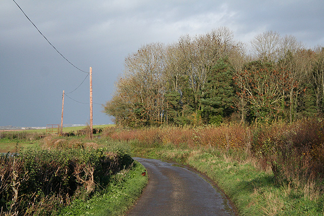
Tucker's Grave Bottom
Valley in Somerset Mendip
England
Tucker's Grave Bottom
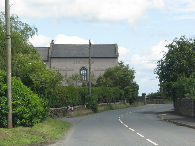
Tucker's Grave Bottom is a small rural valley located in Somerset, England. Nestled within the picturesque countryside, this charming area is renowned for its natural beauty and tranquil surroundings. The valley is situated near the village of Faulkland, approximately 10 miles south of Bath.
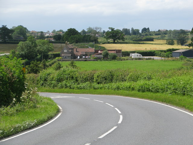
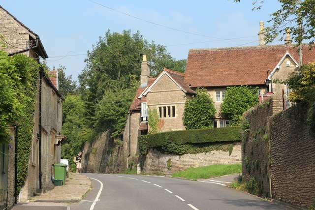
Tucker's Grave Bottom is characterized by its rolling hills, lush meadows, and babbling streams, which contribute to its idyllic ambiance. The valley is dotted with traditional stone cottages and farmhouses, adding to its rustic charm. The area is known for its rich agricultural heritage, with farming being a prominent industry in the region.
The valley is named after a local landmark, Tucker's Grave, a historic pub that has been serving locals and visitors for over a century. The pub, with its thatched roof and quaint interior, is a popular spot for those looking to enjoy traditional British fare and ales. The pub also serves as a gathering place for the community, hosting events and live music performances.
Outdoor enthusiasts are drawn to Tucker's Grave Bottom for its scenic walking trails and opportunities for wildlife spotting. The valley is home to an array of bird species, as well as small mammals like rabbits and foxes. The area is also known for its vibrant wildflowers, providing a colorful display during the warmer months.
Overall, Tucker's Grave Bottom offers a peaceful retreat away from the hustle and bustle of city life. Its natural beauty and welcoming community make it a hidden gem in the Somerset countryside.
If you have any feedback on the listing, please let us know in the comments section below.
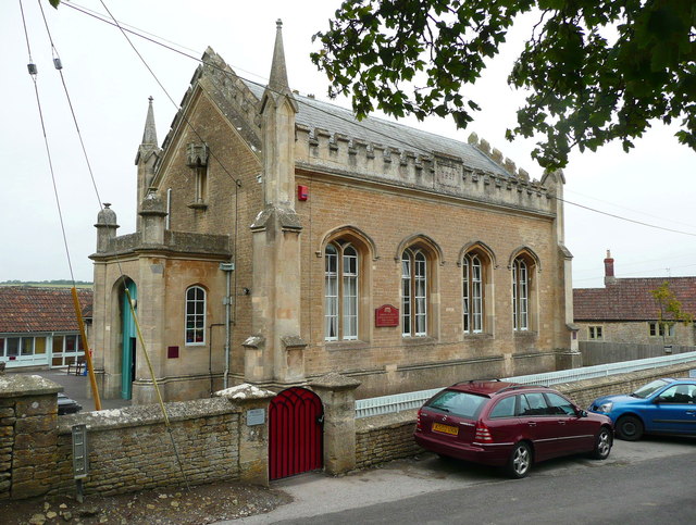
Tucker's Grave Bottom Images
Images are sourced within 2km of 51.294641/-2.3554697 or Grid Reference ST7555. Thanks to Geograph Open Source API. All images are credited.


Tucker's Grave Bottom is located at Grid Ref: ST7555 (Lat: 51.294641, Lng: -2.3554697)
Administrative County: Somerset
District: Mendip
Police Authority: Avon and Somerset
What 3 Words
///uppermost.eclipses.splint. Near Wellow, Somerset
Nearby Locations
Related Wikis

Church of St Philip and St James, Norton St Philip
The Church of St Philip and St James in Norton St Philip within the English county of Somerset is a Grade II* listed building.The parish is part of the...

The George Inn, Norton St Philip
The George Inn in Norton St Philip, Somerset, England, one of a number of establishments that claims to be Britain's oldest tavern, is located in the centre...

Norton St Philip
Norton St Philip is a village and civil parish in Somerset, England. The village lies about 5+1⁄2 miles (9 km) south of the city of Bath and 5 miles (8...

Hinton Charterhouse Field
Hinton Charterhouse Field (grid reference ST764574) is a 0.32 hectare biological Site of Special Scientific Interest (SSSI) near the village of Hinton...

Cleaves Wood
Cleaves Wood (grid reference ST758576) is a 40.38 hectare biological Site of Special Scientific Interest (SSSI) near the village of Wellow in Bath and...

Stoney Littleton Long Barrow
The Stoney Littleton Long Barrow (also known as the Bath Tumulus and the Wellow Tumulus) is a Neolithic chambered tomb with multiple burial chambers, located...
Hinton Charterhouse Pit
Hinton Charterhouse Pit (grid reference ST772573) is a 0.4 hectare geological Site of Special Scientific Interest near the village of Hinton Charterhouse...

Norton Brook
Norton Brook is a small stream in Somerset, United Kingdom. The stream is a tributary of Wellow Brook. The body of water is located near Norton St Philip...
Nearby Amenities
Located within 500m of 51.294641,-2.3554697Have you been to Tucker's Grave Bottom?
Leave your review of Tucker's Grave Bottom below (or comments, questions and feedback).