West Cleugh

Valley in Northumberland

England

West Cleugh

Forestry road in Shepherdshield
Forestry road in Shepherdshield Credit: Steven Brown

West Cleugh is a picturesque valley located in the county of Northumberland, England. Situated in the heart of the North Pennines Area of Outstanding Natural Beauty, this idyllic rural landscape attracts visitors with its stunning natural features and rich history.

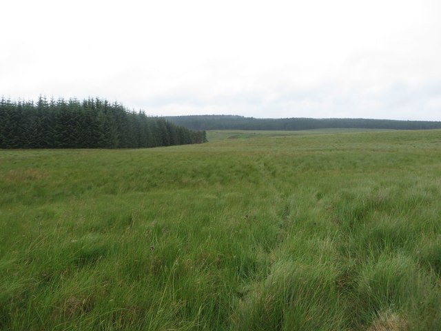
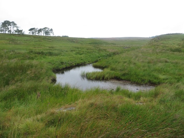
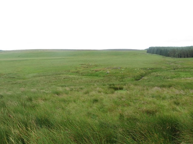
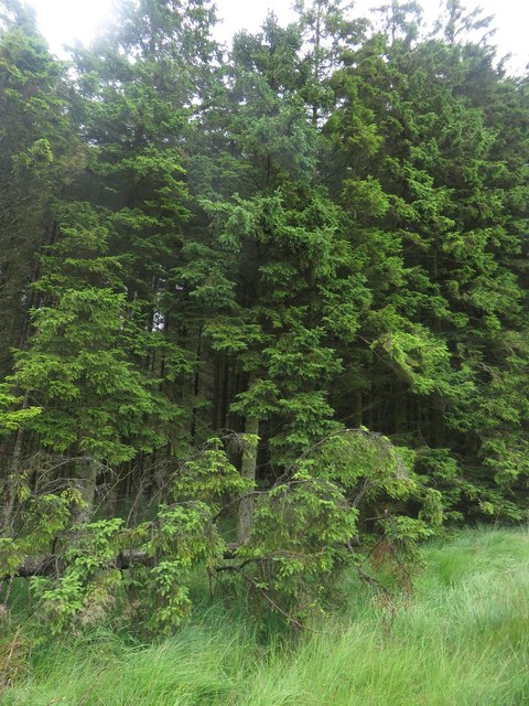
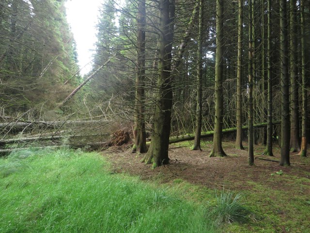
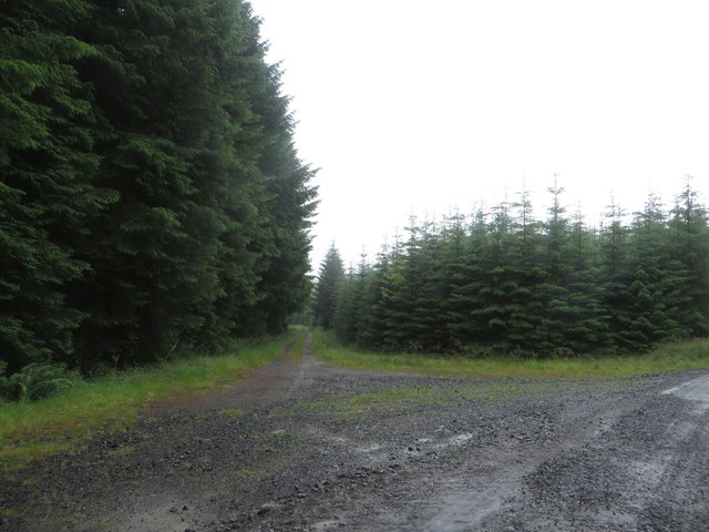
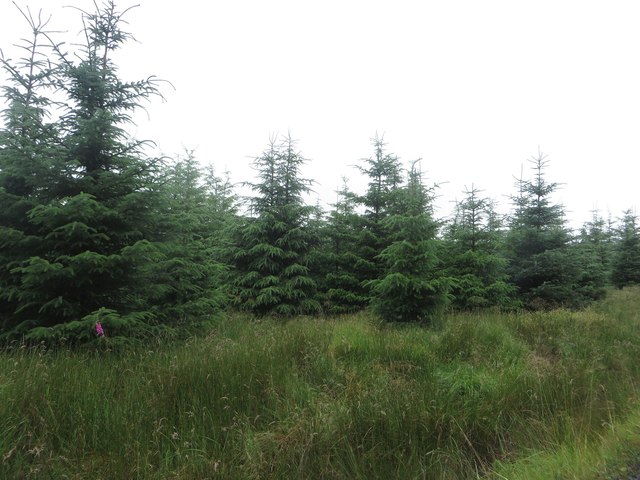
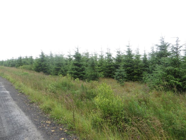
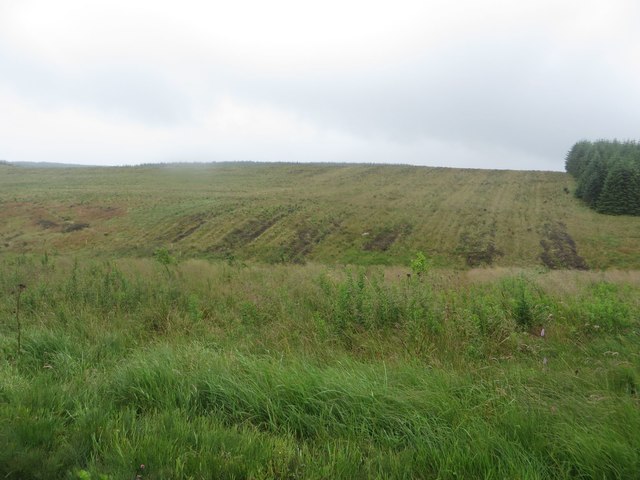
The valley is characterized by its rolling hills, lush green meadows, and meandering streams. It is surrounded by a patchwork of farmland and scattered woodland, creating a beautiful and peaceful setting. West Cleugh is home to a diverse range of flora and fauna, including rare species such as red squirrels and black grouse, making it a haven for nature enthusiasts.

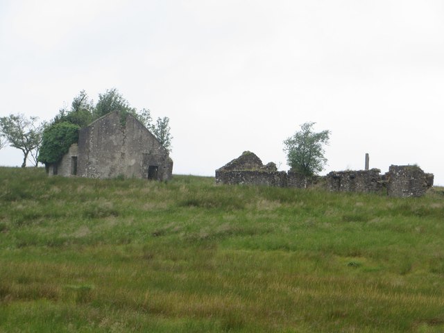
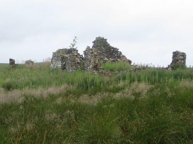
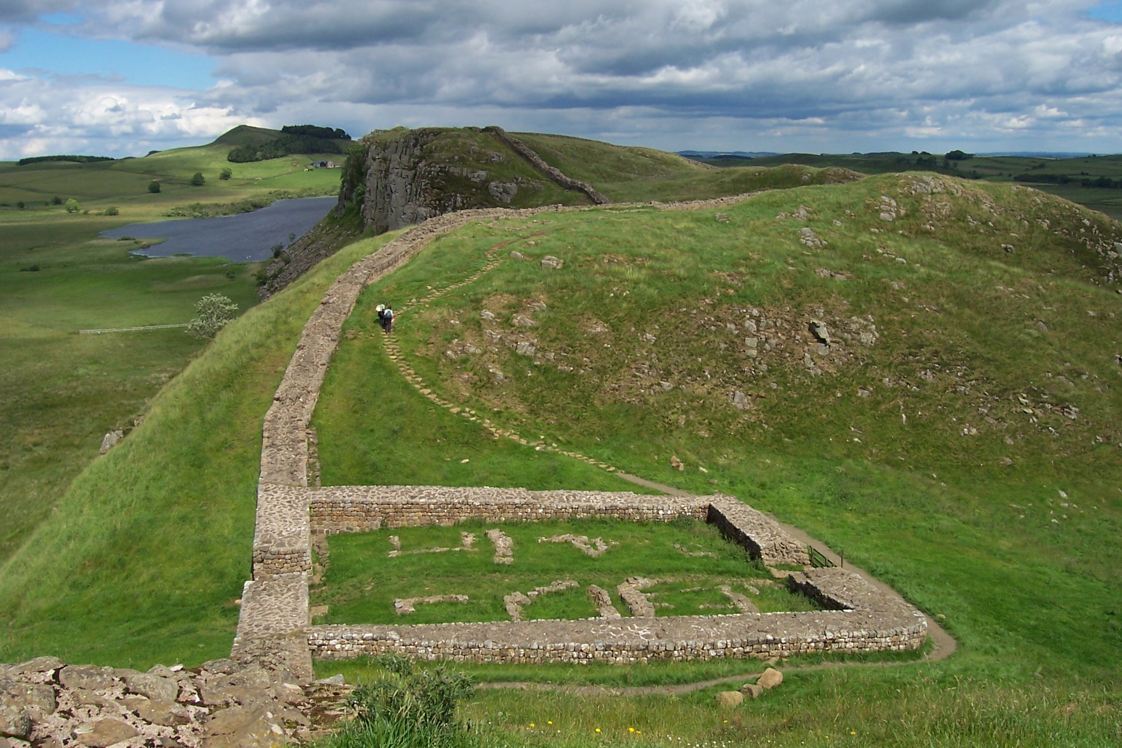
The area is also known for its archaeological significance. Within West Cleugh, there are several ancient remains, including Iron Age hillforts, burial mounds, and stone circles, evidence of human occupation dating back thousands of years. These historic sites provide valuable insights into the region's past and attract history buffs and archaeologists alike.

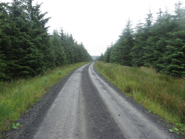
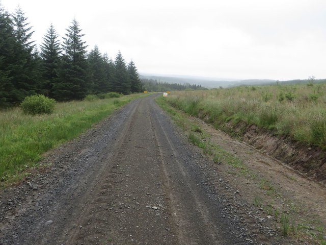
West Cleugh offers a range of activities for outdoor enthusiasts. Hiking and walking trails crisscross the valley, offering breathtaking views and opportunities to explore the surrounding countryside. The valley's streams are popular for fishing, and there are designated areas for picnicking and camping, allowing visitors to immerse themselves in the natural beauty of the area.

Overall, West Cleugh, Northumberland is a captivating destination that showcases the best of rural England. Its stunning landscapes, rich history, and abundance of outdoor activities make it a popular choice for those seeking a tranquil escape in a truly picturesque setting.

If you have any feedback on the listing, please let us know in the comments section below.
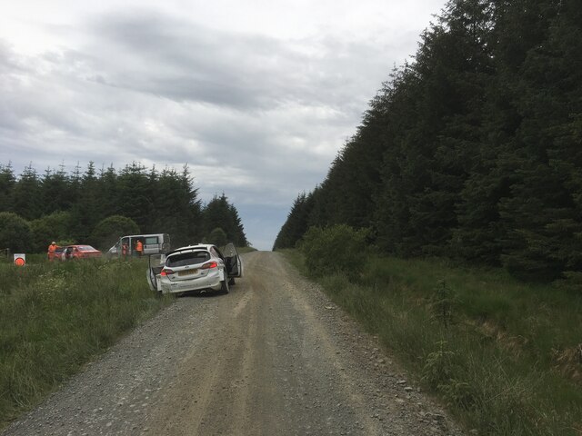
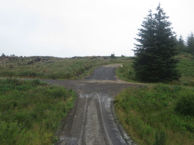
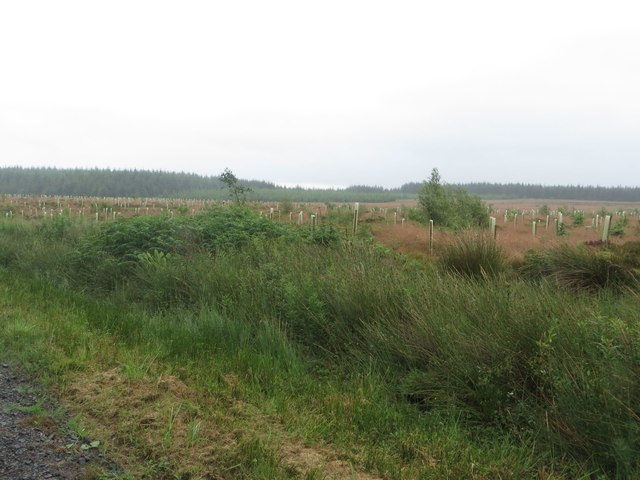
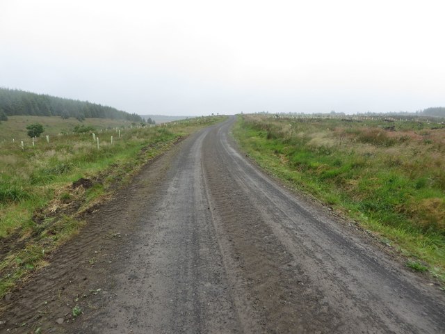
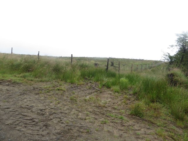
West Cleugh Images

Images are sourced within 2km of 55.078868/-2.4123928 or Grid Reference NY7376. Thanks to Geograph Open Source API. All images are credited.

Forestry road in Shepherdshield
Public bridleway crossing rough grassland Looking along the route of a bridleway which crosses the large expanse of rough grassland which is completely surrounded by parts of Kielder Forest.
Public bridleway crossing rough grassland
Looking along the route of a bridleway which crosses the large expanse of rough grassland which is completely surrounded by parts of Kielder Forest.
Derelict buildings west of Haining Head A ruined house and outbuildings in a large expanse of grassland to the west of Haining Head.
Derelict buildings west of Haining Head
A ruined house and outbuildings in a large expanse of grassland to the west of Haining Head.
West Sike, Haining Head A stream flowing through the extensive grassland around the ruined farm of Haining Head.
West Sike, Haining Head
A stream flowing through the extensive grassland around the ruined farm of Haining Head.
Ruined building at Haining Head A ruined house in the large expanse of grassland around Haining Head.
Ruined building at Haining Head
A ruined house in the large expanse of grassland around Haining Head.
Grassland in Wark Forest An extensive area of rough grassland in Wark Forest.
Grassland in Wark Forest
An extensive area of rough grassland in Wark Forest.
Trees in Wark Forest A wall of trees on the edge of Wark Forest. A public bridleway is meant to follow a route through the almost impenetrable tangle of trees.
Trees in Wark Forest
A wall of trees on the edge of Wark Forest. A public bridleway is meant to follow a route through the almost impenetrable tangle of trees.
Fallen trees near Preaching Heights Clear felling of the adjacent area of plantation has led to a large number of trees being blown over in the still standing area of trees to the east. These have made a bridleway through the plantation virtually impassable.
Fallen trees near Preaching Heights
Clear felling of the adjacent area of plantation has led to a large number of trees being blown over in the still standing area of trees to the east. These have made a bridleway through the plantation virtually impassable.
Junction of forest tracks near Preaching Heights A junction of forest tracks near Preaching Heights in Wark Forest.
Junction of forest tracks near Preaching Heights
A junction of forest tracks near Preaching Heights in Wark Forest.
Young trees near Hawthorne Rigg A reasonably young area of plantation beside the forest track passing Hawthorne Rigg.
Young trees near Hawthorne Rigg
A reasonably young area of plantation beside the forest track passing Hawthorne Rigg.
Forest Track in Wark Forest A forest track in Wark Forest, passing between dense areas of coniferous plantation.
Forest Track in Wark Forest
A forest track in Wark Forest, passing between dense areas of coniferous plantation.
Young plantation in Wark Forest A large area of young conifers in Wark Forest.
Young plantation in Wark Forest
A large area of young conifers in Wark Forest.
Track junction in Wark Forest A junction of forest tracks in Wark Forest.
Track junction in Wark Forest
A junction of forest tracks in Wark Forest.
Freshly replanted plantation near Felecia Crags A large area of freshly replanted plantation beside a forest track near Felecia Crags. The young trees are protected from being eaten by marauding wildlife by biodegradable sleeves.
Freshly replanted plantation near Felecia Crags
A large area of freshly replanted plantation beside a forest track near Felecia Crags. The young trees are protected from being eaten by marauding wildlife by biodegradable sleeves.
Forest track on Watch Hill Looking along one of the labyrinth of forest tracks in Wark Forest. The plantation blocks on either side of the track have been felled and replanted.
Forest track on Watch Hill
Looking along one of the labyrinth of forest tracks in Wark Forest. The plantation blocks on either side of the track have been felled and replanted.
Boundary between blocks of Wark Forest The boundary between two of the blocks of the large Wark Forest is marked by a gap in the planting and a deer fence which is protecting the area on the left.
Boundary between blocks of Wark Forest
The boundary between two of the blocks of the large Wark Forest is marked by a gap in the planting and a deer fence which is protecting the area on the left.
Treeless area in Wark Forest Park of Wark Forest which is currently devoid of trees.
Treeless area in Wark Forest
Park of Wark Forest which is currently devoid of trees.
Forest track east of Watch Hill A forest track to the east of Watch Hill.
Forest track east of Watch Hill
A forest track to the east of Watch Hill.
Show me another place!

West Cleugh is located at Grid Ref: NY7376 (Lat: 55.078868, Lng: -2.4123928)

Unitary Authority: Northumberland

Police Authority: Northumbria

What 3 Words

///supposes.gobbling.silent. Near Haltwhistle, Northumberland

Nearby Locations

West Cleugh

Related Wikis

Wark Forest

Wark Forest is the southern part of Kielder Forest in Northumberland, England. Wark Forest is found within the south-west tip of Northumberland National...
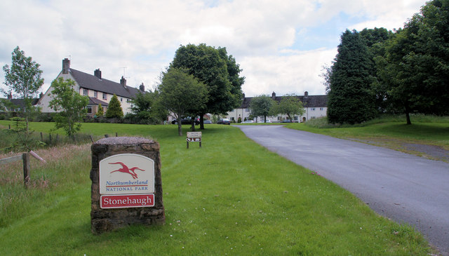
Stonehaugh

Stonehaugh is a small settlement in Northumberland about 5 miles (8 km) west of Wark on Tyne and 4 Roman miles (6 km) north of Hadrian's Wall. It was purpose...

Churnsike Lodge

Churnsike Lodge is an early Victorian hunting lodge situated in the parish of Greystead, West Northumberland, England. Constructed in 1850 by the Charlton...

Broomlee Lough

Broomlee Lough is an inland lake in Northumberland, England at the southern edge of Northumberland National Park. The lough lies immediately north of the...

Halleypike Lough

Halleypike Lough is an inland lake on Haughton Common at the southern edge of Northumberland National Park, northeast of Bardon Mill, and 1 mile (1.6 km...

Milecastle 40

Milecastle 40 (Winshields) was a milecastle on Hadrian's Wall (grid reference NY74566758). == Description == Milecastle 40 is located northwest of Twice...

Crag Lough

Crag Lough is an inland lake at the southern edge of Northumberland National Park, 2.5 miles (4.0 km) north of Bardon Mill, and 0.5 miles (0.8 km) north...

Milecastle 39

Milecastle 39 (Castle Nick) is a milecastle on Hadrian's Wall (grid reference NY76066773). == Description == Milecastle 39 is located northeast of Once...

Nearby Amenities

Located within 500m of 55.078868,-2.4123928
Brown Rigg
Place: locality
Lat/Long: 55.0774025/-2.416451
Haining
Place: locality
Lat/Long: 55.0783434/-2.4191422
The data included in this document is from www.openstreetmap.org. The data is made available under ODbL.

Have you been to West Cleugh?

Leave your review of West Cleugh below (or comments, questions and feedback).