Black Cleugh

Valley in Northumberland

England

Black Cleugh

Felled area Felled area alongside the Forest Drive in Redesdale Forest.
Felled area Credit: Ian Capper

Black Cleugh is a picturesque valley located in the county of Northumberland, England. Situated in the northern part of the county, it is surrounded by stunning natural beauty and offers a tranquil retreat for nature enthusiasts and hikers alike.

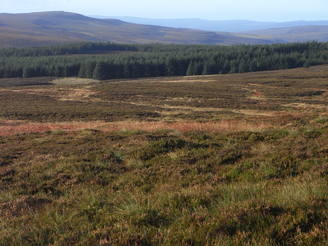
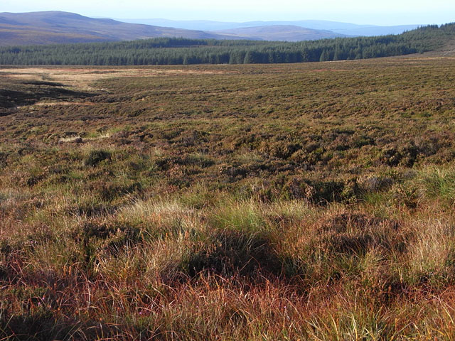
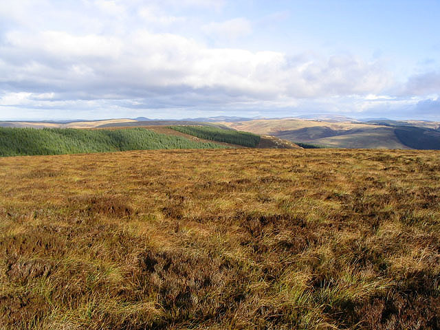
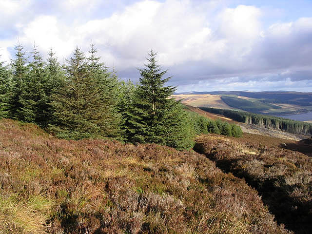
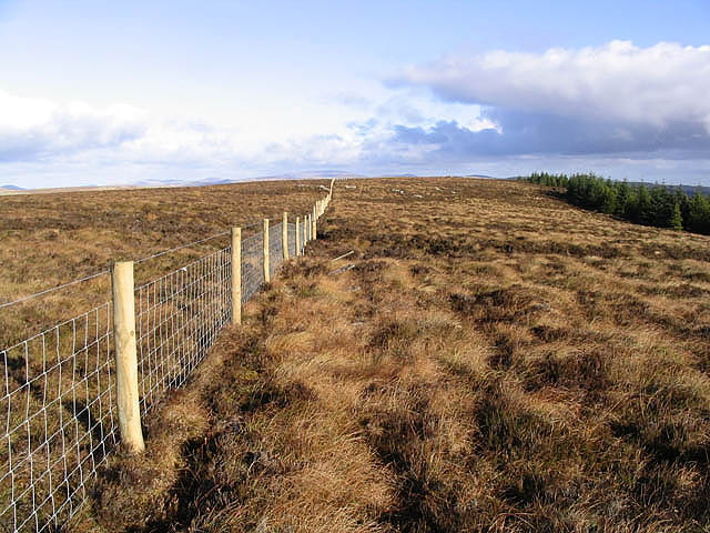
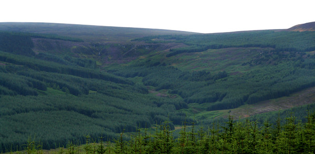
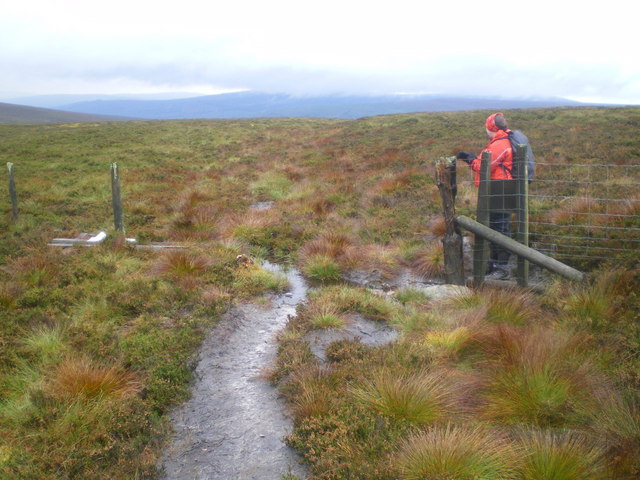
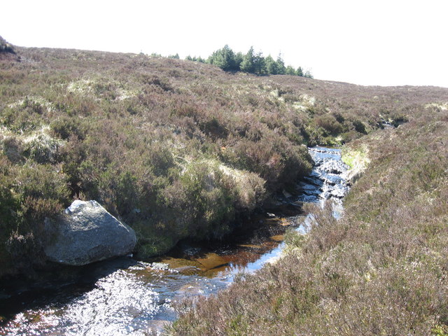
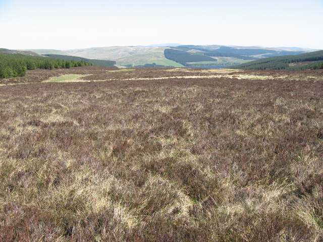
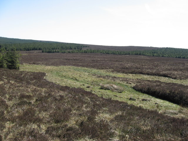
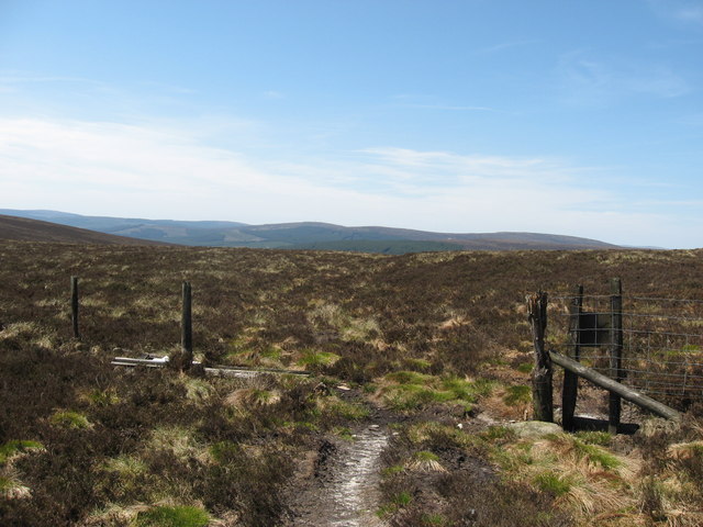
The valley is characterized by its rolling hills, vast meadows, and dense forests, providing a diverse range of landscapes to explore. The Black Cleugh Burn, a small river, winds its way through the valley, adding to its charm and providing a peaceful soundtrack to the surroundings.

Wildlife thrives in this area, with a variety of bird species, mammals, and plant life calling the valley their home. It is not uncommon to spot red squirrels, roe deer, and numerous species of birds while venturing through the valley. The lush vegetation and clean air make it an ideal habitat for such diverse wildlife.

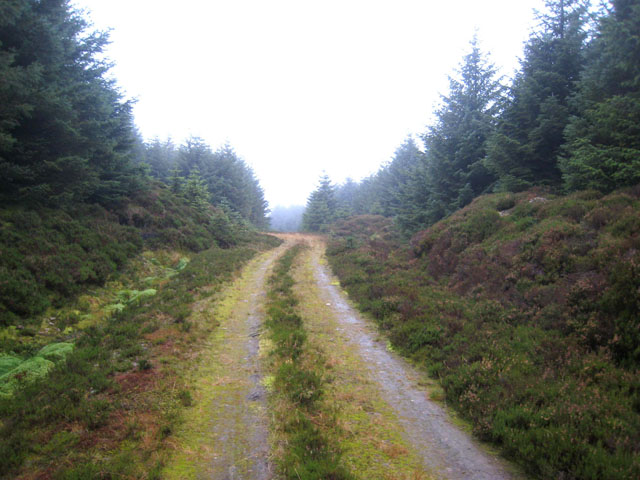
For those seeking outdoor activities, Black Cleugh offers a multitude of options. There are several well-marked hiking trails that cater to all levels of fitness, allowing visitors to explore the valley at their own pace. The valley also offers opportunities for fishing, with the Black Cleugh Burn known for its abundance of trout.

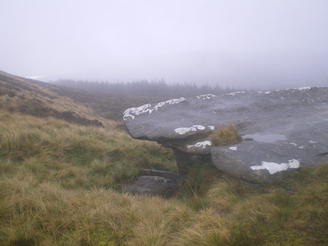
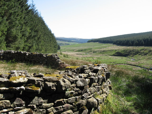
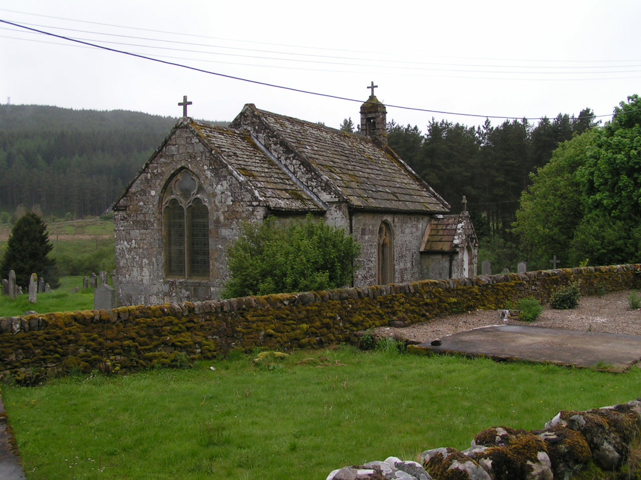
Aside from its natural beauty, Black Cleugh is also rich in history. The remnants of ancient settlements, such as stone circles and burial mounds, can be found scattered throughout the valley, providing a glimpse into the area's past.

Overall, Black Cleugh, Northumberland is a hidden gem that showcases the beauty of the English countryside. Its stunning landscapes, diverse wildlife, and rich history make it a must-visit destination for nature lovers and those seeking a peaceful retreat.

If you have any feedback on the listing, please let us know in the comments section below.

Black Cleugh Images

Images are sourced within 2km of 55.300454/-2.4475761 or Grid Reference NT7100. Thanks to Geograph Open Source API. All images are credited.

Felled area Felled area alongside the Forest Drive in Redesdale Forest.
Felled area
Felled area alongside the Forest Drive in Redesdale Forest.
Kielder Forest Drive Kielder Forest Drive is a 19 Km long toll road which crosses the forest and high moorland between North Tynedale and Redesdale <span class="nowrap"><a title="http://www.forestry.gov.uk/website/ourwoods.nsf/LUWebDocsByKey/EnglandNorthumberlandKielderKielderKielderCastleForestParkCentreKielderForestDrive" rel="nofollow ugc noopener" href="http://www.forestry.gov.uk/website/ourwoods.nsf/LUWebDocsByKey/EnglandNorthumberlandKielderKielderKielderCastleForestParkCentreKielderForestDrive">Link</a><img style="margin-left:2px;" alt="External link" title="External link - shift click to open in new window" src="https://s1.geograph.org.uk/img/external.png" width="10" height="10"/></span> .
Kielder Forest Drive
Kielder Forest Drive is a 19 Km long toll road which crosses the forest and high moorland between North Tynedale and Redesdale LinkExternal link .
East Kielder Moor Looking down from slightly steeper land on Oh Me Edge. Monkside is seen across the valley.
East Kielder Moor
Looking down from slightly steeper land on Oh Me Edge. Monkside is seen across the valley.
East Kielder Moor Looking down from near Oh Me Edge. Monkside is seen to the left beyond the valley of Ridge End Burn which rises in this vicinity.
East Kielder Moor
Looking down from near Oh Me Edge. Monkside is seen to the left beyond the valley of Ridge End Burn which rises in this vicinity.
Forest road in Castle Crag Forest The quality of forest roads in this privately owned forest seems to be much poorer than in Forestry Commission Forests, such as the adjacent Redesdale Forest.
Forest road in Castle Crag Forest
The quality of forest roads in this privately owned forest seems to be much poorer than in Forestry Commission Forests, such as the adjacent Redesdale Forest.
Right of way path on Girdle Fell This permissive path , marked on O.S. mapping, leads to Chattlehope and the A68 by Catcleugh Reservoir.
Right of way path on Girdle Fell
This permissive path , marked on O.S. mapping, leads to Chattlehope and the A68 by Catcleugh Reservoir.
High moorland on Girdle Fell
Forestry near Girdle Fell Some clear felling has taken place in Countess Wood on the right and the northwest end of Catcleugh Reservoir is on the far right.
Forestry near Girdle Fell
Some clear felling has taken place in Countess Wood on the right and the northwest end of Catcleugh Reservoir is on the far right.
A moorland fence Runs parallel with forestry to the northwest of High Countess Crag.
A moorland fence
Runs parallel with forestry to the northwest of High Countess Crag.
Chattlehope Burn Valley of Chattlehope Burn seen from near Harry's Pike in Redesdale Forest.  Low Countess Crag and the waterfalls at Chattlehope Spout are visible at the head of the valley.
Chattlehope Burn
Valley of Chattlehope Burn seen from near Harry's Pike in Redesdale Forest. Low Countess Crag and the waterfalls at Chattlehope Spout are visible at the head of the valley.
The Girdle Stone So-called because of the natural 'waist'.
Conifers above Catcleugh reservoir in distance.
The Girdle Stone
So-called because of the natural 'waist'. Conifers above Catcleugh reservoir in distance.
Boundary line Where the land ownership/management changes, there is a rickety fence along the high contour.
Boundary line
Where the land ownership/management changes, there is a rickety fence along the high contour.
Stelling near Chattlehope Burn Chattlehope Burn runs through the middle distance.  Catcleugh Reservoir is just visible in the distance.
Stelling near Chattlehope Burn
Chattlehope Burn runs through the middle distance. Catcleugh Reservoir is just visible in the distance.
Boulder near Chattlehope Spout Catcleugh reservoir is in the distance.
Boulder near Chattlehope Spout
Catcleugh reservoir is in the distance.
Chattlehope Burn Looking towards Wool Meath.
Chattlehope Burn
Looking towards Wool Meath.
Moorland near Wool Meath Catcleugh reservoir is visible in the distance.
Moorland near Wool Meath
Catcleugh reservoir is visible in the distance.
Plantation near Wool Meath I didn't even spot any sheep on this isolated moor.
Plantation near Wool Meath
I didn't even spot any sheep on this isolated moor.
National Park Boundary This fence marks the boundary of Northumberland National Park.  This is also the watershed between the North Tyne and Redesdale.  Deadwater Fell ( <a title="https://www.geograph.org.uk/photo/725672" href="https://www.geograph.org.uk/photo/725672">Link</a> ) is in the middle of the photo in the far distance.
National Park Boundary
This fence marks the boundary of Northumberland National Park. This is also the watershed between the North Tyne and Redesdale. Deadwater Fell ( Link ) is in the middle of the photo in the far distance.
Show me another place!

Black Cleugh is located at Grid Ref: NT7100 (Lat: 55.300454, Lng: -2.4475761)

Unitary Authority: Northumberland

Police Authority: Northumbria

What 3 Words

///community.steroids.mouse. Near Rochester, Northumberland

Related Wikis

Whitelee Moor

Whitelee Moor is nature reserve of the Northumberland Wildlife Trust, in Northumberland, England, near Carter Bar. A large part of the moor is blanket...

Ramshope

Ramshope is a hamlet and former civil parish, now in the parish of Rochester in Northumberland, England located in Northumberland National Park. It lies...

Byrness

Byrness is a village within Rochester civil parish in Northumberland, England. It is approximately 37 miles (60 km) north-west of Newcastle upon Tyne on...

Kielderhead and Emblehope Moors

Kielderhead and Emblehope Moors are contiguous areas of moorland in northern Northumberland, England. A section of Kielderhead Moor is part of neighbouring...

Nearby Amenities

Located within 500m of 55.300454,-2.4475761
Castle Crag
Place: locality
Lat/Long: 55.2987655/-2.45221
Outer Stony Holes
Place: locality
Lat/Long: 55.3041582/-2.4468938
The data included in this document is from www.openstreetmap.org. The data is made available under ODbL.

Have you been to Black Cleugh?

Leave your review of Black Cleugh below (or comments, questions and feedback).